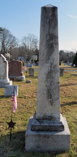
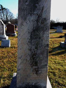
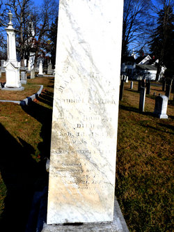
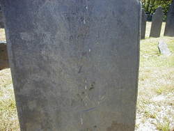
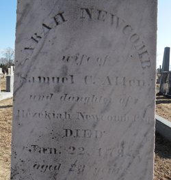
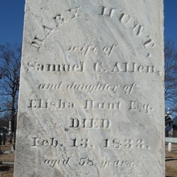
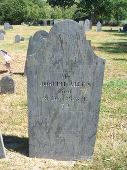
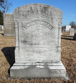
Samuel Clesson Allen Famous memorial
| Birth | : | 5 Jan 1772 Bernardston, Franklin County, Massachusetts, USA |
| Death | : | 8 Feb 1842 Northfield, Franklin County, Massachusetts, USA |
| Burial | : | Center Cemetery, Bernardston, Franklin County, USA |
| Coordinate | : | 42.6695213, -72.5498505 |
| Description | : | U.S. Congressman. He graduated from Dartmouth College New Hampshire, in 1794, studied theology, was ordained as a minister and was pastor of the Congregational Church in Northfield, Massachusetts, (1795-98). He then studied law, was admitted to the bar in 1800 and practiced law in New Salem, Massachusetts. He was a member of the Massachusetts State House of Representatives, (1806-10) and served in the Massachusetts State Senate, (1812-15). In 1817, he was elected as a Federalist to the Fifteenth through the Seventeenth Congresses, as an Adams-Clay Federalist to the Eighteenth Congress, as an Adams to the Nineteenth and Twentieth Congresses, serving... Read More |
frequently asked questions (FAQ):
-
Where is Samuel Clesson Allen Famous memorial's memorial?
Samuel Clesson Allen Famous memorial's memorial is located at: Center Cemetery, Bernardston, Franklin County, USA.
-
When did Samuel Clesson Allen Famous memorial death?
Samuel Clesson Allen Famous memorial death on 8 Feb 1842 in Northfield, Franklin County, Massachusetts, USA
-
Where are the coordinates of the Samuel Clesson Allen Famous memorial's memorial?
Latitude: 42.6695213
Longitude: -72.5498505
Family Members:
Parent
Spouse
Siblings
Children
Flowers:
Nearby Cemetories:
1. Center Cemetery
Bernardston, Franklin County, USA
Coordinate: 42.6695213, -72.5498505
2. Old Cemetery
Bernardston, Franklin County, USA
Coordinate: 42.6810989, -72.5444031
3. Hessian Cemetery
Bernardston, Franklin County, USA
Coordinate: 42.6679174, -72.5897169
4. West Gill Cemetery
Gill, Franklin County, USA
Coordinate: 42.6442700, -72.5280500
5. Greenfield Hebrew Congregation Cemetery
Greenfield, Franklin County, USA
Coordinate: 42.6409410, -72.5653360
6. Log Plain Cemetery
Greenfield, Franklin County, USA
Coordinate: 42.6378320, -72.5725800
7. East Hill Cemetery
Leyden, Franklin County, USA
Coordinate: 42.6931000, -72.6025009
8. Gill Center Cemetery
Gill, Franklin County, USA
Coordinate: 42.6413803, -72.4983063
9. Mount Hermon Cemetery
Northfield, Franklin County, USA
Coordinate: 42.6790800, -72.4821100
10. North Cemetery
Gill, Franklin County, USA
Coordinate: 42.6514160, -72.4817630
11. Riverside Cemetery
Gill, Franklin County, USA
Coordinate: 42.6156006, -72.5410995
12. Country Farms Cemetery
Greenfield, Franklin County, USA
Coordinate: 42.6393900, -72.6165400
13. South Leyden Cemetery
Leyden, Franklin County, USA
Coordinate: 42.6831400, -72.6311200
14. High Street Cemetery
Greenfield, Franklin County, USA
Coordinate: 42.6044840, -72.5806660
15. Center Cemetery
Northfield, Franklin County, USA
Coordinate: 42.6954308, -72.4613342
16. Beaver Meadow Cemetery
Leyden, Franklin County, USA
Coordinate: 42.7188988, -72.6183014
17. Beers Ambush Gravesite
Northfield, Franklin County, USA
Coordinate: 42.6501200, -72.4560300
18. West Northfield Cemetery
Northfield, Franklin County, USA
Coordinate: 42.7117004, -72.4689026
19. Tyler Cemetery
Vernon, Windham County, USA
Coordinate: 42.7344017, -72.4972000
20. Pentecost Cemetery
Northfield, Franklin County, USA
Coordinate: 42.7010200, -72.4539900
21. Fairway Avenue Cemetery
Montague, Franklin County, USA
Coordinate: 42.5924270, -72.5646970
22. Durkee Burial Lot
Northfield, Franklin County, USA
Coordinate: 42.6070000, -72.4861000
23. Saint Marys Cemetery
Northfield, Franklin County, USA
Coordinate: 42.6868910, -72.4448190
24. Northfield Farms Cemetery
Northfield, Franklin County, USA
Coordinate: 42.6124992, -72.4741974

