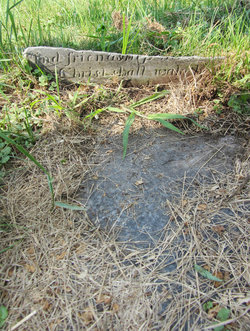
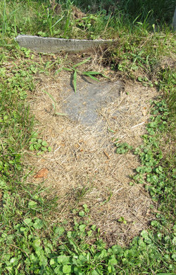
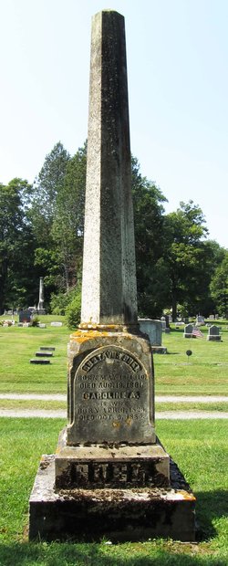
Sarah “Sally” Thompson Buel
| Birth | : | Sep 1779 Goshen, Litchfield County, Connecticut, USA |
| Death | : | 12 Jun 1818 Castleton, Rutland County, Vermont, USA |
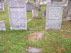
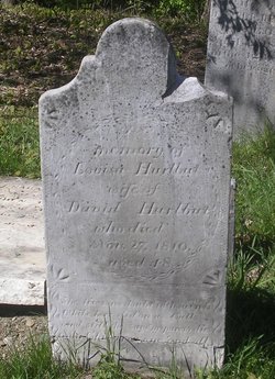
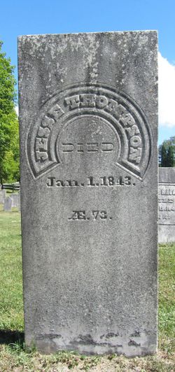
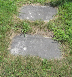
| Burial | : | Pine Grove Cemetery, Grafton, Worcester County, USA |
| Coordinate | : | 42.2346992, -71.7042007 |
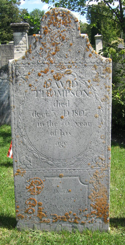
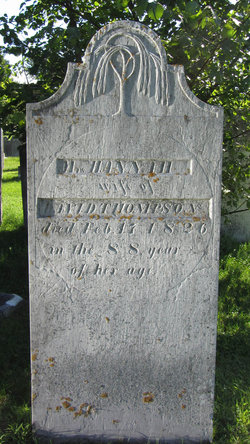
| Description | : | Daughter of David Thompson and Hannah Griswold. . First wife of Ezekiel Buel, whom she married on Sept. 20, 1798, in East Poultney, Rutland, VT, and with whom she had six known children: Maria Louisa, Charlotte W, Julian Griswold, Julio/Julius Thompson, Gustavus J, and Alexander W. Buel. . |
frequently asked questions (FAQ):
-
Where is Sarah “Sally” Thompson Buel's memorial?
Sarah “Sally” Thompson Buel's memorial is located at: Pine Grove Cemetery, Grafton, Worcester County, USA.
-
When did Sarah “Sally” Thompson Buel death?
Sarah “Sally” Thompson Buel death on 12 Jun 1818 in Castleton, Rutland County, Vermont, USA
-
Where are the coordinates of the Sarah “Sally” Thompson Buel's memorial?
Latitude: 42.2346992
Longitude: -71.7042007
Family Members:
Parent
Spouse
Siblings
Children
Flowers:
Nearby Cemetories:
1. Pine Grove Cemetery
Grafton, Worcester County, USA
Coordinate: 42.2346992, -71.7042007
2. Grafton State Hospital Memorial Cemetery
Shrewsbury, Worcester County, USA
Coordinate: 42.2518900, -71.6854200
3. Grove Street Burial Ground
Shrewsbury, Worcester County, USA
Coordinate: 42.2578090, -71.7173770
4. Old Oak Street Burial Ground
Grafton, Worcester County, USA
Coordinate: 42.2109500, -71.6916900
5. Riverside Cemetery
Grafton, Worcester County, USA
Coordinate: 42.2057266, -71.6985550
6. Saint Philips Catholic Cemetery
Grafton, Worcester County, USA
Coordinate: 42.2028008, -71.7027969
7. Hillside East Cemetery
Shrewsbury, Worcester County, USA
Coordinate: 42.2663850, -71.7225270
8. Hillside West Cemetery
Shrewsbury, Worcester County, USA
Coordinate: 42.2692600, -71.7236100
9. Saint Anne's Cemetery
Shrewsbury, Worcester County, USA
Coordinate: 42.2746300, -71.7485400
10. Millbury Cemetery
Millbury, Worcester County, USA
Coordinate: 42.1914940, -71.7515945
11. Saint John's Episcopal Church Burial Site
Sutton, Worcester County, USA
Coordinate: 42.1745870, -71.7196110
12. Saint Brigid Cemetery
Millbury, Worcester County, USA
Coordinate: 42.1951900, -71.7690100
13. Millbury Central Cemetery
Millbury, Worcester County, USA
Coordinate: 42.1939621, -71.7682953
14. West Main Street Cemetery
Shrewsbury, Worcester County, USA
Coordinate: 42.2912600, -71.7420000
15. Wilkinsonville Cemetery
Sutton, Worcester County, USA
Coordinate: 42.1716450, -71.7225750
16. Old Farnumsville Cemetery
Grafton, Worcester County, USA
Coordinate: 42.1728325, -71.6776581
17. Mountain View Cemetery
Shrewsbury, Worcester County, USA
Coordinate: 42.2999306, -71.7147598
18. Quinsigamond Cemetery (Defunct)
Worcester, Worcester County, USA
Coordinate: 42.2268580, -71.7952640
19. Fairview Cemetery
Grafton, Worcester County, USA
Coordinate: 42.1666985, -71.6714020
20. Orchard View Cemetery
Sutton, Worcester County, USA
Coordinate: 42.1613760, -71.7107900
21. Notre Dame du Lac Cemetery
Worcester, Worcester County, USA
Coordinate: 42.2910170, -71.7681030
22. Memorial Cemetery
Westborough, Worcester County, USA
Coordinate: 42.2686800, -71.6142600
23. Midland Cemetery
Westborough, Worcester County, USA
Coordinate: 42.2661630, -71.6119770
24. Mechanic Street Burying Ground (Defunct)
Worcester, Worcester County, USA
Coordinate: 42.2635800, -71.7981900

