
Sarah “Sary” Phelps Woodford
| Birth | : | 23 Jun 1729 Simsbury, Hartford County, Connecticut, USA |
| Death | : | 2 Apr 1809 Avon, Hartford County, Connecticut, USA |
| Burial | : | Ramsgate Cemetery, Ramsgate, Thanet District, England |
| Coordinate | : | 51.3427270, 1.4209750 |
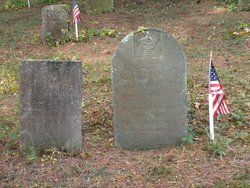
| Inscription | : | In Memory of SARAH WOODFORD relict of John Woodford who died April 2, 1809 Aged 80 years. |
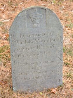
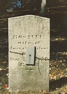
| Description | : | Daughter of Amos Phelps and Sarah Pettibone. She married John Woodford I, son of Joseph Woodford II and Lydia Smith, on Sep 15, 1743. She was 14. Children: John II Woodford 1744 Roger Woodford 1746 Ezekiel Woodford 1748 Charles Woodford 1751 Bissel Woodford 1754 Rosanna Woodford 1757 Dorothy woodford 1759 Levi Woodford 1762 Amos Woodford 1765 |
frequently asked questions (FAQ):
-
Where is Sarah “Sary” Phelps Woodford's memorial?
Sarah “Sary” Phelps Woodford's memorial is located at: Ramsgate Cemetery, Ramsgate, Thanet District, England.
-
When did Sarah “Sary” Phelps Woodford death?
Sarah “Sary” Phelps Woodford death on 2 Apr 1809 in Avon, Hartford County, Connecticut, USA
-
Where are the coordinates of the Sarah “Sary” Phelps Woodford's memorial?
Latitude: 51.3427270
Longitude: 1.4209750
Family Members:
Parent
Spouse
Siblings
Children

Flowers:


Nearby Cemetories:
1. Ramsgate Cemetery
Ramsgate, Thanet District, England
Coordinate: 51.3427270, 1.4209750
2. St. George's Churchyard
Ramsgate, Thanet District, England
Coordinate: 51.3360951, 1.4179783
3. St Laurence Churchyard
St Lawrence, Thanet District, England
Coordinate: 51.3377140, 1.4009720
4. St. Augustine Roman Catholic Churchyard
Ramsgate, Thanet District, England
Coordinate: 51.3282920, 1.4101230
5. Baptist Church Cemetery
St Peters, Thanet District, England
Coordinate: 51.3648280, 1.4186530
6. St. Peter the Apostle Churchyard
St Peters, Thanet District, England
Coordinate: 51.3650400, 1.4190700
7. Margate Cemetery
Margate, Thanet District, England
Coordinate: 51.3739880, 1.3762730
8. Thanet Crematorium
Margate, Thanet District, England
Coordinate: 51.3745290, 1.3765230
9. St John the Baptist Church
Margate, Thanet District, England
Coordinate: 51.3837680, 1.3832260
10. Trinity Square War Memorials
Margate, Thanet District, England
Coordinate: 51.3902090, 1.3851790
11. Minster Cemetery
Minster-in-Thanet, Thanet District, England
Coordinate: 51.3423100, 1.3160550
12. St Mary the Virgin Church
Minster-in-Thanet, Thanet District, England
Coordinate: 51.3305810, 1.3156720
13. All Saints Churchyard
Birchington, Thanet District, England
Coordinate: 51.3736580, 1.3059360
14. St .Mary's Churchyard
Sandwich, Dover District, England
Coordinate: 51.2771930, 1.3386580
15. St. Peter's Churchyard
Sandwich, Dover District, England
Coordinate: 51.2747680, 1.3405120
16. St Clement's Church
Sandwich, Dover District, England
Coordinate: 51.2736510, 1.3427270
17. St Nicholas-at-Wade Cemetery
St Nicholas at Wade, Thanet District, England
Coordinate: 51.3578344, 1.2534168
18. St. Nicholas' Churchyard
St Nicholas at Wade, Thanet District, England
Coordinate: 51.3542160, 1.2517980
19. Saint Mary The Virgin Churchyard
Woodnesborough, Dover District, England
Coordinate: 51.2628240, 1.3073810
20. St. Nicholas Churchyard
Ash, Dover District, England
Coordinate: 51.2786800, 1.2786400
21. Church of Saint George at Ham
Eastry, Dover District, England
Coordinate: 51.2444830, 1.3319350
22. Deal Congregational Church
Deal, Dover District, England
Coordinate: 51.2264163, 1.4024282
23. All Saints Churchyard
Stourmouth, Dover District, England
Coordinate: 51.3202600, 1.2365520
24. St Mary the Virgin Churchyard
Eastry, Dover District, England
Coordinate: 51.2453000, 1.3100000