
| Memorials | : | 25 |
| Location | : | St Nicholas at Wade, Thanet District, England |
| Coordinate | : | 51.3542160, 1.2517980 |
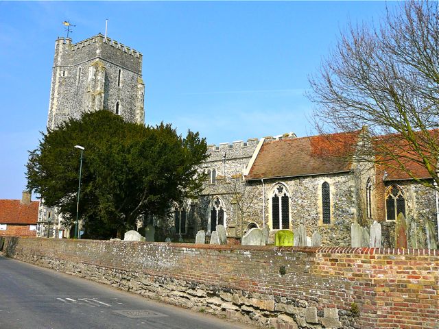
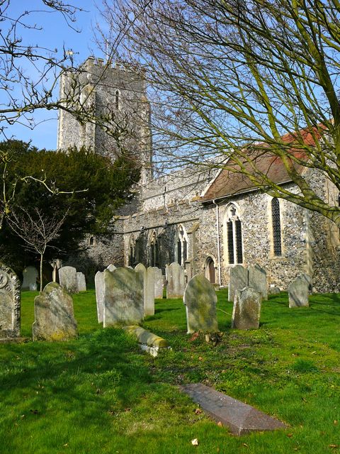
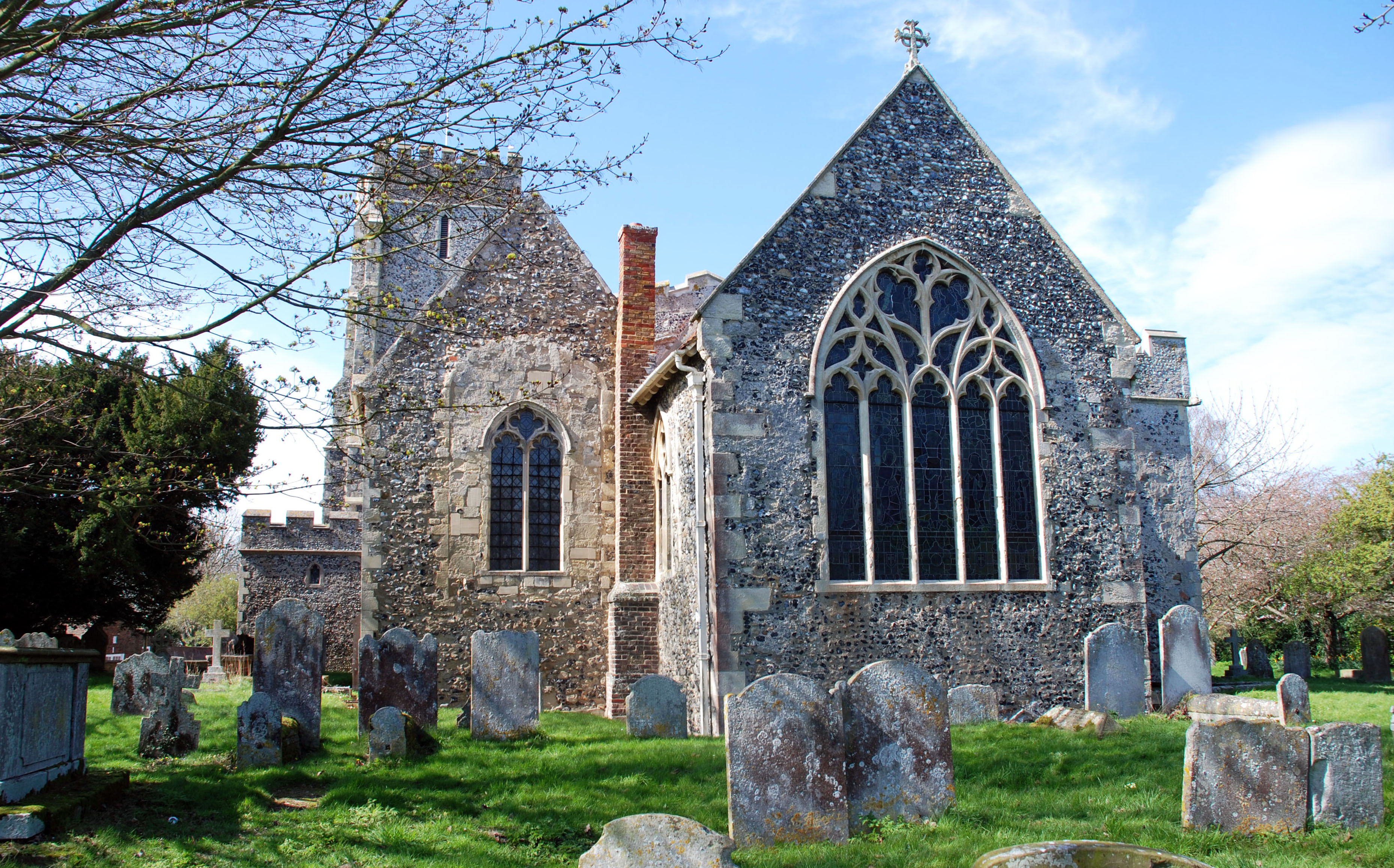
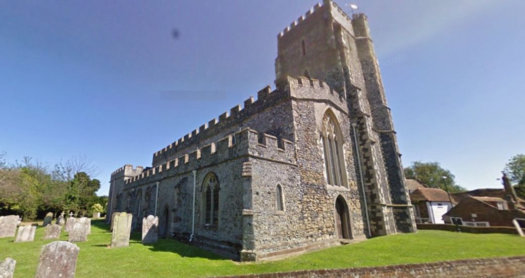
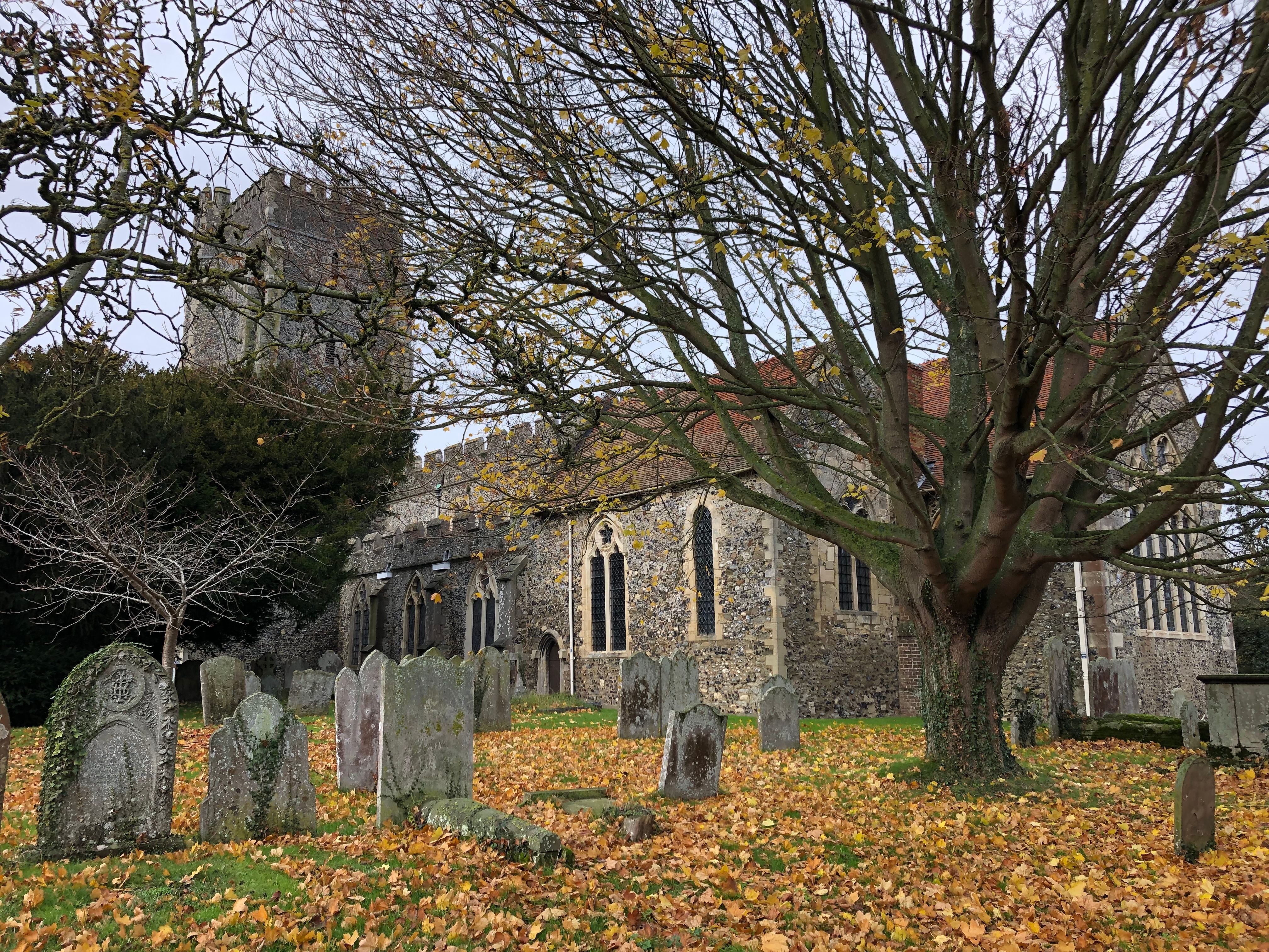
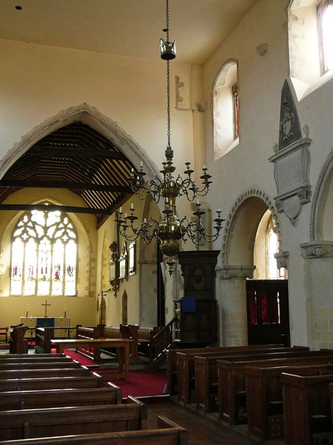
| Description | : | There has been a church at St Nicholas-at-Wade for over 800 years. Dedication to St Nicholas was popular in the area, as he is the patron saint of sailors. The present building, begun in the 12th century, includes a piscina probably made from an Anglo Saxon window head. The fall of an 18th century wall-mounted memorial in the north aisle recently revealed traces of polychrome wall painting, probably of early Norman date. The substantial tower and turret were complete by the 14th century, making the church a landmark for ships in the estuary and for travellers by land. Inside, a... Read More |
frequently asked questions (FAQ):
-
Where is St. Nicholas' Churchyard?
St. Nicholas' Churchyard is located at The Street St Nicholas at Wade, Thanet District ,Kent , CT7 0NTEngland.
-
St. Nicholas' Churchyard cemetery's updated grave count on graveviews.com?
25 memorials
-
Where are the coordinates of the St. Nicholas' Churchyard?
Latitude: 51.3542160
Longitude: 1.2517980
Nearby Cemetories:
1. St Nicholas-at-Wade Cemetery
St Nicholas at Wade, Thanet District, England
Coordinate: 51.3578344, 1.2534168
2. All Saints Churchyard
Stourmouth, Dover District, England
Coordinate: 51.3202600, 1.2365520
3. All Saints Churchyard
Birchington, Thanet District, England
Coordinate: 51.3736580, 1.3059360
4. St Mary's Abbey
Reculver, City of Canterbury, England
Coordinate: 51.3795360, 1.1993770
5. Minster Cemetery
Minster-in-Thanet, Thanet District, England
Coordinate: 51.3423100, 1.3160550
6. St Mary The Virgin Churchyard
Chislet, City of Canterbury, England
Coordinate: 51.3343610, 1.1921020
7. St Mary the Virgin Church
Minster-in-Thanet, Thanet District, England
Coordinate: 51.3305810, 1.3156720
8. St Mary the Virgin Churchyard
Reculver, City of Canterbury, England
Coordinate: 51.3684750, 1.1766050
9. Elmstone Churchyard
Preston, Dover District, England
Coordinate: 51.2967160, 1.2424980
10. St Mildred Churchyard
Preston, Dover District, England
Coordinate: 51.2985000, 1.2173980
11. Stodmarsh St Marys Churchyard
Wickhambreaux, City of Canterbury, England
Coordinate: 51.3009500, 1.1836900
12. St Martin's Churchyard
Herne, City of Canterbury, England
Coordinate: 51.3497060, 1.1334370
13. St Martins
Herne, City of Canterbury, England
Coordinate: 51.3500600, 1.1333200
14. Herne Bay Cemetery
Herne Bay, City of Canterbury, England
Coordinate: 51.3571810, 1.1304820
15. St. Nicholas Churchyard
Ash, Dover District, England
Coordinate: 51.2786800, 1.2786400
16. Margate Cemetery
Margate, Thanet District, England
Coordinate: 51.3739880, 1.3762730
17. Thanet Crematorium
Margate, Thanet District, England
Coordinate: 51.3745290, 1.3765230
18. St Andrew Churchyard
Wickhambreaux, City of Canterbury, England
Coordinate: 51.2844400, 1.1822300
19. All Saints Churchyard
Westbere, City of Canterbury, England
Coordinate: 51.3065380, 1.1437670
20. St Mary the Virgin Churchyard
Wingham, Dover District, England
Coordinate: 51.2721220, 1.2128950
21. St John the Baptist Church
Margate, Thanet District, England
Coordinate: 51.3837680, 1.3832260
22. St James the Great Churchyard
Staple, Dover District, England
Coordinate: 51.2636300, 1.2515200
23. Trinity Square War Memorials
Margate, Thanet District, England
Coordinate: 51.3902090, 1.3851790
24. Sturry Cemetery
Sturry, City of Canterbury, England
Coordinate: 51.3058100, 1.1277700