Vincent Lockman Sr.
| Birth | : | 1762 Orange County, North Carolina, USA |
| Death | : | 29 Oct 1843 Jackson County, Indiana, USA |
| Burial | : | Soledad Cemetery, Soledad, Monterey County, USA |
| Coordinate | : | 36.4275131, -121.3124542 |
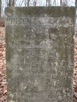
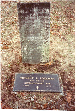
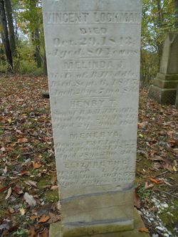
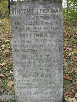
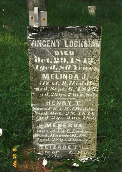
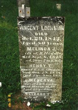
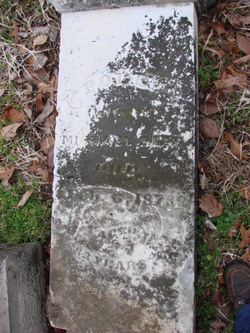
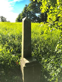
| Description | : | H/O Anne Kirkland & Christina Miller Hagen. In 2016 the restoration of Lockman's stone was performed by Sean Patrick Miller of Seymour, IN as his Eagle Scout project. He and his crew thoroughly cleaned, repaired and reset the stone so hopefully it will stand for another 100 years. VINCENT LOCKMAN, of Jackson County and State of Indiana being of Sound mind to make this my last will and Testament in the following To wit I will that the bed which OLIVE BLACKATER has received to be her portion of my estate. I will that the bed given to... Read More |
frequently asked questions (FAQ):
-
Where is Vincent Lockman Sr.'s memorial?
Vincent Lockman Sr.'s memorial is located at: Soledad Cemetery, Soledad, Monterey County, USA.
-
When did Vincent Lockman Sr. death?
Vincent Lockman Sr. death on 29 Oct 1843 in Jackson County, Indiana, USA
-
Where are the coordinates of the Vincent Lockman Sr.'s memorial?
Latitude: 36.4275131
Longitude: -121.3124542
Family Members:
Spouse
Children
Flowers:
Nearby Cemetories:
1. Soledad Cemetery
Soledad, Monterey County, USA
Coordinate: 36.4275131, -121.3124542
2. Soledad Mission Cemetery
Soledad, Monterey County, USA
Coordinate: 36.4047460, -121.3561260
3. San Benito County Cemetery
Hollister, San Benito County, USA
Coordinate: 36.4859009, -121.2306976
4. Gonzales Cemetery
Gonzales, Monterey County, USA
Coordinate: 36.4947014, -121.4300003
5. Greenfield Cemetery
Greenfield, Monterey County, USA
Coordinate: 36.3347130, -121.2128372
6. Greenfield Holy Trinity Cemetery
Greenfield, Monterey County, USA
Coordinate: 36.3164139, -121.2428131
7. Willow Creek Cemetery
San Benito County, USA
Coordinate: 36.5957985, -121.1903000
8. Bitterwater Cemetery
Rock Spring Peak, San Benito County, USA
Coordinate: 36.4006004, -120.9916992
9. King City Cemetery
King City, Monterey County, USA
Coordinate: 36.2066078, -121.1374207
10. Paicines Cemetery
Paicines, San Benito County, USA
Coordinate: 36.7088580, -121.2456330
11. Cherry Hill Cemetery
Panoche, San Benito County, USA
Coordinate: 36.6150017, -120.9586029
12. Yamato Cemetery
Salinas, Monterey County, USA
Coordinate: 36.6552811, -121.6307297
13. Garden of Memories
Salinas, Monterey County, USA
Coordinate: 36.6565247, -121.6384125
14. Mansfield Cemetery
King City, Monterey County, USA
Coordinate: 36.1030320, -121.1478060
15. Church of the Good Shepherd Cemetery
Salinas, Monterey County, USA
Coordinate: 36.5413990, -121.7260410
16. Saint Pauls Episcopal Church Columbarium
Salinas, Monterey County, USA
Coordinate: 36.6588430, -121.6558850
17. Chinese Cemetery
Salinas, Monterey County, USA
Coordinate: 36.6952057, -121.6390381
18. Monterey County Potters Field Cemetery
Salinas, Monterey County, USA
Coordinate: 36.6960900, -121.6381950
19. Barbree Ranch Cemetery
San Lucas, Monterey County, USA
Coordinate: 36.0914030, -121.0822670
20. Saint Georges Episcopal Church Columbarium
Salinas, Monterey County, USA
Coordinate: 36.7062580, -121.6440980
21. San Lucas Cemetery
San Lucas, Monterey County, USA
Coordinate: 36.1258354, -121.0134735
22. Calvary Catholic Cemetery
Salinas, Monterey County, USA
Coordinate: 36.6880341, -121.6818085
23. Long Valley Cemetery
San Lucas, Monterey County, USA
Coordinate: 36.1467700, -120.9545100
24. Whitcher Cemetery
East Garrison, Monterey County, USA
Coordinate: 36.6501730, -121.7305270

