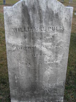
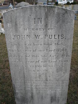
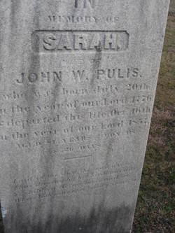
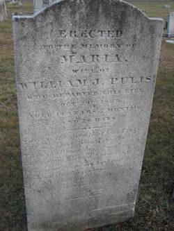
William John Pulis
| Birth | : | 26 Jan 1798 |
| Death | : | 22 May 1881 |
| Burial | : | Shrader Family Cemetery, Narrows, Giles County, USA |
| Coordinate | : | 37.2776800, -80.9312900 |
frequently asked questions (FAQ):
-
Where is William John Pulis's memorial?
William John Pulis's memorial is located at: Shrader Family Cemetery, Narrows, Giles County, USA.
-
When did William John Pulis death?
William John Pulis death on 22 May 1881 in
-
Where are the coordinates of the William John Pulis's memorial?
Latitude: 37.2776800
Longitude: -80.9312900
Family Members:
Parent
Spouse
Siblings
Children
Flowers:
Nearby Cemetories:
1. Shrader Family Cemetery
Narrows, Giles County, USA
Coordinate: 37.2776800, -80.9312900
2. Hales Chapel Cemetery
Giles County, USA
Coordinate: 37.2774200, -80.9287300
3. Beamer Cemetery
Narrows, Giles County, USA
Coordinate: 37.2752000, -80.9254200
4. Millirons Family Cemetery
Giles County, USA
Coordinate: 37.2744900, -80.9257900
5. Ferrell Cemetery
Narrows, Giles County, USA
Coordinate: 37.2734800, -80.9386500
6. French-Turner Family Cemetery
Narrows, Giles County, USA
Coordinate: 37.2736200, -80.9390000
7. Johnston-Conley Cemetery
Narrows, Giles County, USA
Coordinate: 37.2797700, -80.9209500
8. Conley Cemetery
Narrows, Giles County, USA
Coordinate: 37.2695778, -80.9513694
9. Boyd Cemetery
Giles County, USA
Coordinate: 37.2902500, -80.9018500
10. Patteson Family Cemetery
Narrows, Giles County, USA
Coordinate: 37.2922300, -80.8940600
11. Shrader Cemetery
Narrows, Giles County, USA
Coordinate: 37.2963880, -80.8823670
12. Lambert Cemetery
Giles County, USA
Coordinate: 37.2605400, -80.9888600
13. Cedar Grove Cemetery
Narrows, Giles County, USA
Coordinate: 37.2943993, -80.8719025
14. Dodson-Clark Cemetery
Bland County, USA
Coordinate: 37.2591000, -81.0045200
15. Wagner Cemetery
Rocky Gap, Bland County, USA
Coordinate: 37.2839012, -81.0194016
16. Bivins Cemetery
Grapefield, Bland County, USA
Coordinate: 37.2557300, -81.0197300
17. Mountain Field Cemetery
Holly Brook, Bland County, USA
Coordinate: 37.1966000, -80.9374000
18. Brown Cemetery
Hardy, Mercer County, USA
Coordinate: 37.3070800, -81.0265208
19. Potter's Shop Cemetery
Hardy, Mercer County, USA
Coordinate: 37.3134420, -81.0235750
20. Bray Cemetery
Mercer County, USA
Coordinate: 37.3102989, -81.0258026
21. Hogans Cemetery
Rocky Gap, Bland County, USA
Coordinate: 37.2789001, -81.0355988
22. Clark Cemetery
Niday, Bland County, USA
Coordinate: 37.2561240, -81.0320940
23. Lambert Family Cemetery
Niday, Bland County, USA
Coordinate: 37.2516057, -81.0311343
24. Blankenship Cemetery
Giles County, USA
Coordinate: 37.2994003, -80.8293991

