
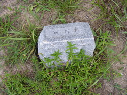
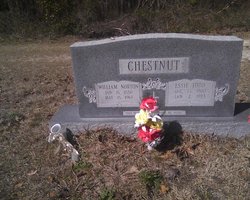
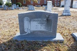
William Norton Chestnut
| Birth | : | 15 Jan 1880 Horry County, South Carolina, USA |
| Death | : | 15 May 1968 Conway, Horry County, South Carolina, USA |
| Burial | : | Riverside Cemetery, Pierre, Hughes County, USA |
| Coordinate | : | 44.3608017, -100.3071976 |
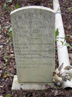
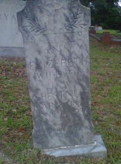
| Description | : | William Norton Chestnut is the son of James Washington Chestnut & Nancy Ann Elizabeth Stanley. He married twice: 1st - Jane Armatha Anderson abt. 1905. 2nd - Essie Idella Todd abt. 1920. |
frequently asked questions (FAQ):
-
Where is William Norton Chestnut's memorial?
William Norton Chestnut's memorial is located at: Riverside Cemetery, Pierre, Hughes County, USA.
-
When did William Norton Chestnut death?
William Norton Chestnut death on 15 May 1968 in Conway, Horry County, South Carolina, USA
-
Where are the coordinates of the William Norton Chestnut's memorial?
Latitude: 44.3608017
Longitude: -100.3071976
Family Members:
Parent
Spouse

Siblings
Children


Nearby Cemetories:
1. Riverside Cemetery
Pierre, Hughes County, USA
Coordinate: 44.3608017, -100.3071976
2. South Dakota State Capitol Grounds
Pierre, Hughes County, USA
Coordinate: 44.3660100, -100.3448000
3. Fort Pierre Chouteau Cemetery
Fort Pierre, Stanley County, USA
Coordinate: 44.3908700, -100.3878300
4. Mount Calvary Cemetery
Pierre, Hughes County, USA
Coordinate: 44.4197006, -100.3557968
5. Cedar Hill Cemetery
Fort Pierre, Stanley County, USA
Coordinate: 44.3356018, -100.3964005
6. Scotty Philip Cemetery
Fort Pierre, Stanley County, USA
Coordinate: 44.4019012, -100.4036026
7. Byron Township Cemetery
Blunt, Hughes County, USA
Coordinate: 44.4979200, -100.1904700
8. Canning Cemetery
Hughes County, USA
Coordinate: 44.3986890, -100.0278460
9. Holy Name Episcopal Cemetery
Fort Pierre, Stanley County, USA
Coordinate: 44.2694960, -100.0357300
10. Holy Name Chapel Cemetery
Fort Pierre, Stanley County, USA
Coordinate: 44.2694292, -100.0356989
11. Mathews Family Cemetery
Stanley County, USA
Coordinate: 44.1816040, -100.5581080
12. Pleasant Hill Cemetery
Blunt, Hughes County, USA
Coordinate: 44.5135994, -100.0156021
13. Okobojo Cemetery
Sully County, USA
Coordinate: 44.6568985, -100.3647003
14. Meers Cemetery
Stanley County, USA
Coordinate: 44.4116970, -100.7360760
15. Fort Sully Post Cemetery
Sully County, USA
Coordinate: 44.5866480, -100.6087530
16. Holy Faith Cemetery
Lyman County, USA
Coordinate: 44.1356010, -99.9878006
17. Chapelle Cemetery
Hughes County, USA
Coordinate: 44.3025017, -99.8653030
18. Fort Bennett Post Cemetery
Stanley County, USA
Coordinate: 44.6716500, -100.6404200
19. Onida Cemetery
Onida, Sully County, USA
Coordinate: 44.7147000, -100.0650000
20. Immanuel Lutheran Cemetery
Van Metre, Jones County, USA
Coordinate: 44.0958800, -100.7263300
21. Saint Catherines Cemetery
Harrold, Hughes County, USA
Coordinate: 44.2091100, -99.7868200
22. Ascension Cemetery
Canning, Hughes County, USA
Coordinate: 44.1523700, -99.7927100
23. Medicine Hill Cemetery
Harrold, Hughes County, USA
Coordinate: 44.5116997, -99.7453003
24. Saint John Catholic Cemetery
Harrold, Hughes County, USA
Coordinate: 44.5127983, -99.7335968