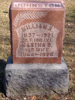
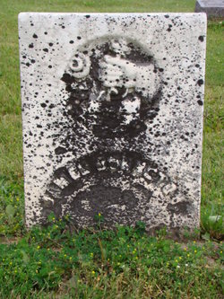
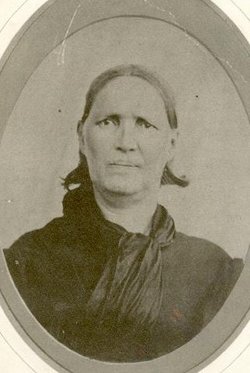
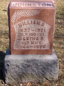
William R. Johnston
| Birth | : | 1 May 1837 Marion County, Ohio, USA |
| Death | : | 8 Mar 1921 Whitley County, Indiana, USA |
| Burial | : | Riverside Cemetery, Bethel, Oxford County, USA |
| Coordinate | : | 44.4202995, -70.8058014 |
| Plot | : | Linville |
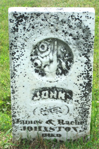
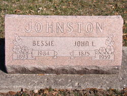
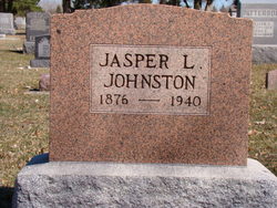
| Description | : | William was the son of James and Rachel (Wells) Johnston. He was married to Martha Bennett on October 28, 1864 by Josiah Elston, J.P., in Etna, IN. William was a farmer. Known children: Edward S., Aurelia Adelaide "Addie," Elnora A., Mary A., Frances A., John L., Jasper Lewis, James H., William Thomas, Corah Frederick "Cory," and Ernest Clifford. From Biography of William R. Johnston. Presidents, Soldiers, Statesmen, Vol. II; H.H. Hardesty, Publisher, New York, Toledo, and Chicago, 1894; page 621: Comrade Johnston enlisted on Aug. 15, 1862, at Columbia City, IN, at the age of... Read More |
frequently asked questions (FAQ):
-
Where is William R. Johnston's memorial?
William R. Johnston's memorial is located at: Riverside Cemetery, Bethel, Oxford County, USA.
-
When did William R. Johnston death?
William R. Johnston death on 8 Mar 1921 in Whitley County, Indiana, USA
-
Where are the coordinates of the William R. Johnston's memorial?
Latitude: 44.4202995
Longitude: -70.8058014
Family Members:
Parent
Spouse
Siblings
Children
Flowers:
Nearby Cemetories:
1. Riverside Cemetery
Bethel, Oxford County, USA
Coordinate: 44.4202995, -70.8058014
2. Skillingston Cemetery
Bethel, Oxford County, USA
Coordinate: 44.4085999, -70.8197021
3. Capen Family Cemetery
Bethel, Oxford County, USA
Coordinate: 44.4382283, -70.7925117
4. Scribner Hill Cemetery Upper Yard
Otisfield, Oxford County, USA
Coordinate: 44.3903181, -70.7978794
5. Woodland Cemetery
Bethel, Oxford County, USA
Coordinate: 44.3902283, -70.7967911
6. Pine Grove Cemetery
West Bethel, Oxford County, USA
Coordinate: 44.4055600, -70.8563100
7. Mount Will Cemetery
North Bethel, Oxford County, USA
Coordinate: 44.4636002, -70.8028030
8. Middle Intervale Cemetery
Bethel, Oxford County, USA
Coordinate: 44.4638600, -70.7866200
9. South Bethel Cemetery
Bethel, Oxford County, USA
Coordinate: 44.4160995, -70.7363968
10. Chandler Hill Cemetery
Bethel, Oxford County, USA
Coordinate: 44.4392014, -70.7394028
11. Flat Cemetery
West Bethel, Oxford County, USA
Coordinate: 44.3731003, -70.8497009
12. Chapman Cemetery
Gilead, Oxford County, USA
Coordinate: 44.4114100, -70.9024900
13. Black Family Cemetery
Newry, Oxford County, USA
Coordinate: 44.4889670, -70.7895730
14. Mason Cemetery
Mason Township, Oxford County, USA
Coordinate: 44.3579270, -70.8525530
15. Mount Abram Cemetery
Greenwood, Oxford County, USA
Coordinate: 44.4025002, -70.7078018
16. Sunday River Cemetery
Newry, Oxford County, USA
Coordinate: 44.4888992, -70.8431015
17. Howe Hill Cemetery
Greenwood, Oxford County, USA
Coordinate: 44.3856010, -70.7142029
18. Songo Cemetery
Albany, Oxford County, USA
Coordinate: 44.3464012, -70.7908020
19. East Bethel Cemetery
East Bethel, Oxford County, USA
Coordinate: 44.4648500, -70.7210200
20. Bartlett Cemetery
East Bethel, Oxford County, USA
Coordinate: 44.4817009, -70.7433014
21. Bird Hill Cemetery
Bethel, Oxford County, USA
Coordinate: 44.4234140, -70.6961680
22. Hanover Cemetery
Hanover, Oxford County, USA
Coordinate: 44.4850006, -70.7332993
23. Old Powers Cemetery
Newry, Oxford County, USA
Coordinate: 44.5031013, -70.8178024
24. Peabody Cemetery
Gilead, Oxford County, USA
Coordinate: 44.3987885, -70.9400635

