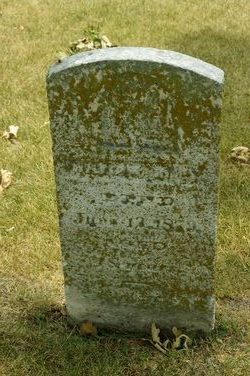
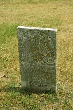
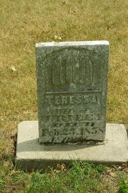
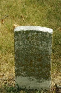
William Riley
| Birth | : | 1830 Pickaway County, Ohio, USA |
| Death | : | 12 Jun 1879 Henry County, Iowa, USA |
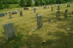
| Burial | : | Lattimore Baptist Cemetery, Lattimore, Cleveland County, USA |
| Coordinate | : | 35.4435997, -81.6667023 |
| Plot | : | Row 7 |
| Description | : | Son of John Riley and Teressa Benn Riley. Married Mary Davis Riley on October 23, 1864. --------- Note: The following accounts were published about the death of William Riley. Normally graphic accounts should not be on memorials, but in this case this account shows what pioneer life was like in Henry county in 1879, so is being presented in that context: "Notes for WILLIAM RILEY: MURDER!!! ... Read More |
frequently asked questions (FAQ):
-
Where is William Riley's memorial?
William Riley's memorial is located at: Lattimore Baptist Cemetery, Lattimore, Cleveland County, USA.
-
When did William Riley death?
William Riley death on 12 Jun 1879 in Henry County, Iowa, USA
-
Where are the coordinates of the William Riley's memorial?
Latitude: 35.4435997
Longitude: -81.6667023
Family Members:
Parent
Spouse
Siblings
Children
Flowers:
Nearby Cemetories:
1. Lattimore Baptist Cemetery
Lattimore, Cleveland County, USA
Coordinate: 35.4435997, -81.6667023
2. Lattimore Family Cemetery
Polkville, Cleveland County, USA
Coordinate: 35.4472810, -81.6658400
3. Ferrells Chapel Cemetery
Shelby, Cleveland County, USA
Coordinate: 35.4520000, -81.6660000
4. Brooks Chapel United Methodist Church Cemetery
Shelby, Cleveland County, USA
Coordinate: 35.4461580, -81.6905520
5. Elliott Cemetery
Polkville, Cleveland County, USA
Coordinate: 35.4247017, -81.6781006
6. Mount Harmony Memorial Cemetery
Polkville, Cleveland County, USA
Coordinate: 35.4598700, -81.6858000
7. Calvary's Cross Baptist Cemetery
Lawndale, Cleveland County, USA
Coordinate: 35.4743690, -81.6791790
8. Polkville Baptist Church Cemetery
Polkville, Cleveland County, USA
Coordinate: 35.4167175, -81.6433716
9. Lucas Family Cemetery
Polkville, Cleveland County, USA
Coordinate: 35.4415210, -81.6235040
10. Green Cemetery
Cleveland County, USA
Coordinate: 35.4075012, -81.6761017
11. Oak Grove United Methodist Church Cemetery
Polkville, Cleveland County, USA
Coordinate: 35.4337440, -81.6225710
12. Big Springs Baptist Cemetery
Hollis, Rutherford County, USA
Coordinate: 35.4366430, -81.7119510
13. Oak Grove United Methodist
Lawndale, Cleveland County, USA
Coordinate: 35.4322600, -81.6208300
14. Mount Zion Baptist Church Cemetery
Casar, Cleveland County, USA
Coordinate: 35.4843300, -81.6655900
15. Eaker Cemetery
Cleveland County, USA
Coordinate: 35.4516983, -81.6144028
16. Price Family Cemetery
Hollis, Rutherford County, USA
Coordinate: 35.4548240, -81.7194440
17. Bridges Cemetery
New House, Cleveland County, USA
Coordinate: 35.4024630, -81.6885070
18. Allen Crowder Cemetery
Polkville, Cleveland County, USA
Coordinate: 35.3978780, -81.6550280
19. Lees Chapel United Methodist Church Cemetery
Polkville, Cleveland County, USA
Coordinate: 35.4860764, -81.6936951
20. Chitwood Family Cemetery
Rutherford County, USA
Coordinate: 35.4137190, -81.7136730
21. Crowder Cemetery
Polkville, Cleveland County, USA
Coordinate: 35.3927994, -81.6682968
22. Clover Hill United Methodist Church Cemetery
Lawndale, Cleveland County, USA
Coordinate: 35.4817500, -81.6246000
23. Augustus Wiggins Family Cemetery
Polkville, Cleveland County, USA
Coordinate: 35.3931840, -81.6542530
24. Old Cloverhill Cemetery
Casar, Cleveland County, USA
Coordinate: 35.4826190, -81.6239550

