
| Memorials | : | 6 |
| Location | : | Louisville, Jefferson County, USA |
| Phone | : | 502-458-5359 |
| Coordinate | : | 38.2075500, -85.7381470 |
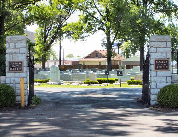
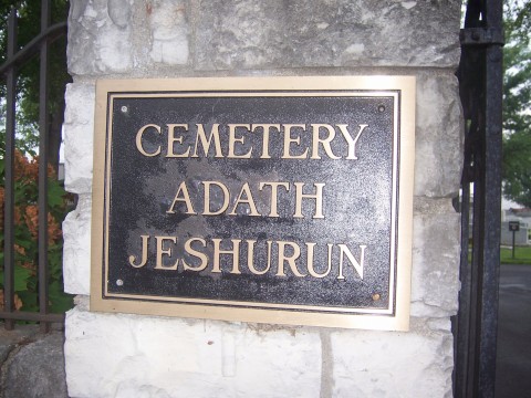
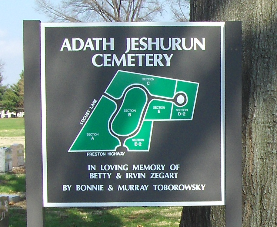
| Description | : | Adath Jeshurun is a Conservative congregation. It began in 1851 as the Polish House of Israel and, for many years, was known simply as the “Polish Synagogue.” The name was changed to Beth Israel in 1851. In 1894, it adopted the name Adas Jeshurun. The congregation is now called Adath Jeshurun. Four of the five Jewish cemeteries in Louisville are in what is basically a cemetery complex off Preston Highway. Traveling south from downtown on Preston, the first entry point would be The Temple Cemetery, the middle entryway leads to Keneseth Israel, and the last entry point... Read More |
frequently asked questions (FAQ):
-
Where is Adath Jeshurun Cemetery?
Adath Jeshurun Cemetery is located at Louisville, Jefferson County ,Kentucky , 40217USA.
-
Adath Jeshurun Cemetery cemetery's updated grave count on graveviews.com?
6 memorials
-
Where are the coordinates of the Adath Jeshurun Cemetery?
Latitude: 38.2075500
Longitude: -85.7381470
Nearby Cemetories:
1. Keneseth Israel Cemetery
Louisville, Jefferson County, USA
Coordinate: 38.2070250, -85.7397510
2. Agudath Achim Cemetery
Louisville, Jefferson County, USA
Coordinate: 38.2097080, -85.7392200
3. Anshei Sfard Cemetery
Louisville, Jefferson County, USA
Coordinate: 38.2070420, -85.7413660
4. Mulberry Hill Cemetery
Louisville, Jefferson County, USA
Coordinate: 38.2139200, -85.7289130
5. Clark Cemetery
Parkway Village, Jefferson County, USA
Coordinate: 38.2139015, -85.7285995
6. Oldham Family Cemetery
Louisville, Jefferson County, USA
Coordinate: 38.1985870, -85.7459520
7. Louisville Cemetery
Louisville, Jefferson County, USA
Coordinate: 38.2226905, -85.7276820
8. Louisville Crematorium Custodial Storage
Louisville, Jefferson County, USA
Coordinate: 38.2149200, -85.7583300
9. Louis D. Brandeis School of Law
Louisville, Jefferson County, USA
Coordinate: 38.2155450, -85.7608910
10. Prather Cemetery
Louisville, Jefferson County, USA
Coordinate: 38.2096570, -85.7075220
11. Churchill Downs Derby Museum Garden
Louisville, Jefferson County, USA
Coordinate: 38.2052820, -85.7705320
12. Phillips-Durrett-Clark Cemetery
Louisville, Jefferson County, USA
Coordinate: 38.2052780, -85.7052780
13. Calvary Cemetery
Louisville, Jefferson County, USA
Coordinate: 38.2256300, -85.7134700
14. Fort George Cemetery
Louisville, Jefferson County, USA
Coordinate: 38.2320530, -85.7522260
15. Evergreen Cemetery
Louisville, Jefferson County, USA
Coordinate: 38.1828003, -85.7142029
16. First Unitarian Memorial Garden
Louisville, Jefferson County, USA
Coordinate: 38.2437920, -85.7583330
17. Calvary Episcopal Church Burial Grounds
Louisville, Jefferson County, USA
Coordinate: 38.2437866, -85.7593283
18. Eastern Cemetery
Louisville, Jefferson County, USA
Coordinate: 38.2470500, -85.7249100
19. Cave Hill Cemetery
Louisville, Jefferson County, USA
Coordinate: 38.2453600, -85.7146400
20. Beverly Ebbs Burial Site
Louisville, Jefferson County, USA
Coordinate: 38.1774980, -85.7762830
21. Cave Hill National Cemetery
Louisville, Jefferson County, USA
Coordinate: 38.2483800, -85.7196000
22. Doup Family Cemetery
Louisville, Jefferson County, USA
Coordinate: 38.2211500, -85.6821200
23. Cathedral of the Assumption
Louisville, Jefferson County, USA
Coordinate: 38.2525680, -85.7588370
24. Louisville Presbyterian Seminary Memorial Garden
Louisville, Jefferson County, USA
Coordinate: 38.2387380, -85.6861190