
| Memorials | : | 32 |
| Location | : | Louisville, Jefferson County, USA |
| Phone | : | 502-893-3852 |
| Website | : | www.cem.va.gov/cems/nchp/cavehill.asp |
| Coordinate | : | 38.2483800, -85.7196000 |
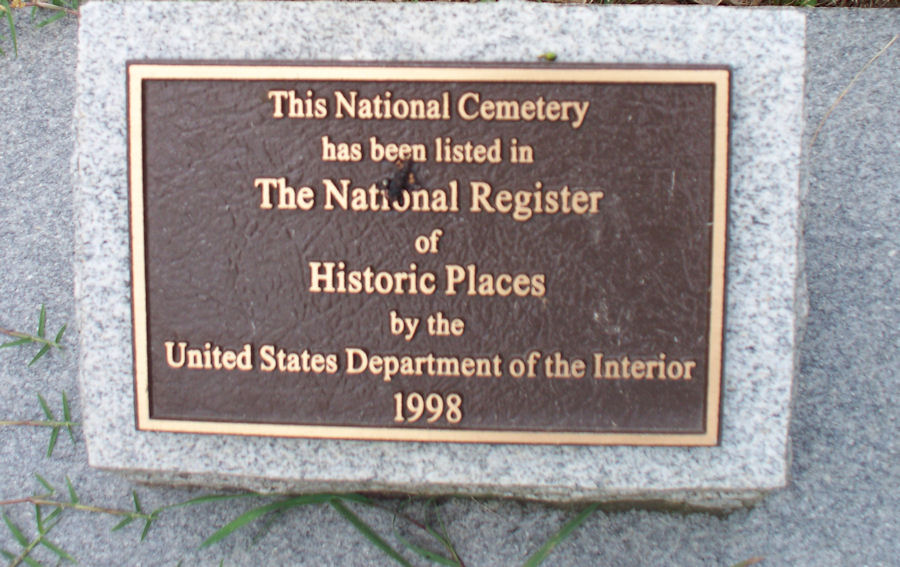
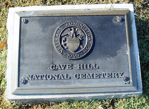
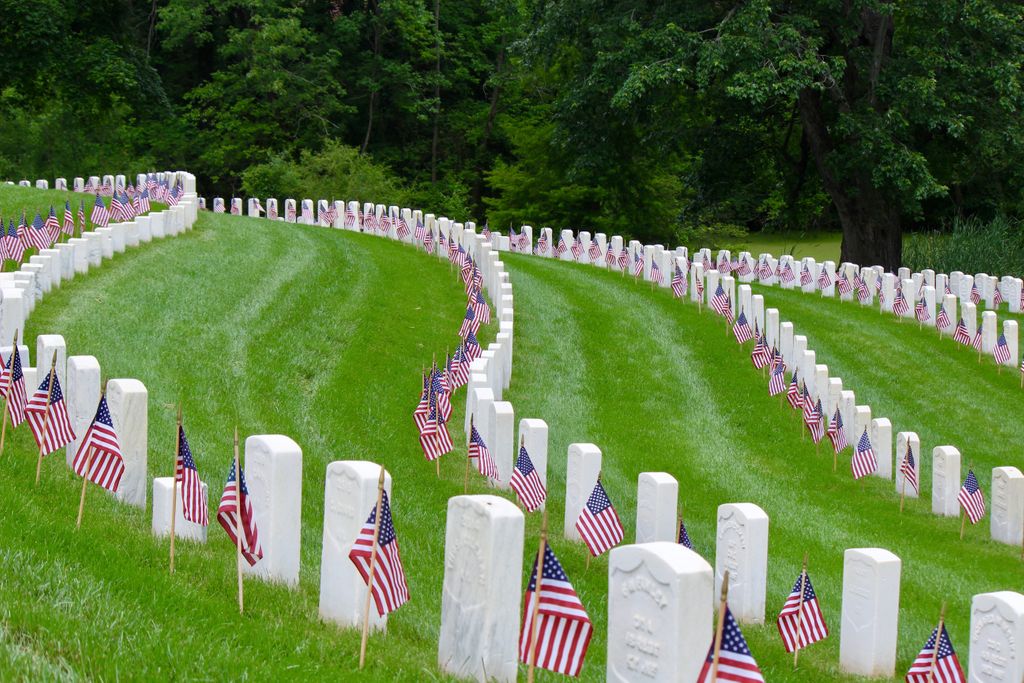
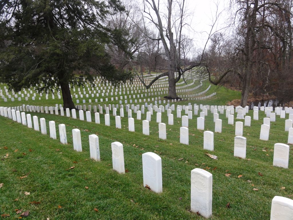
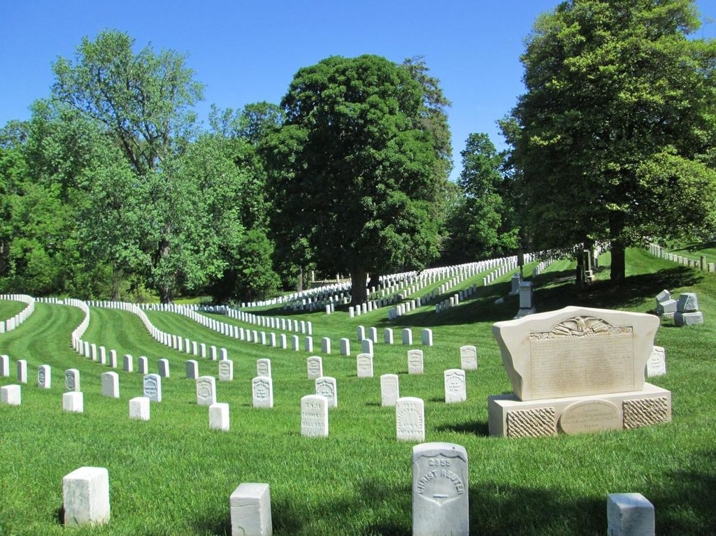
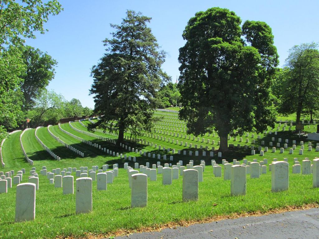
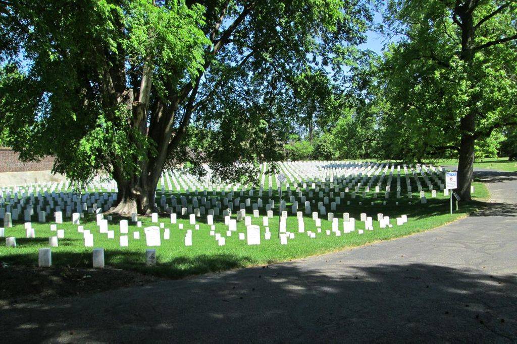
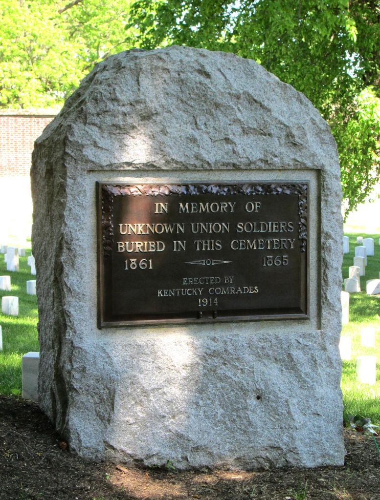
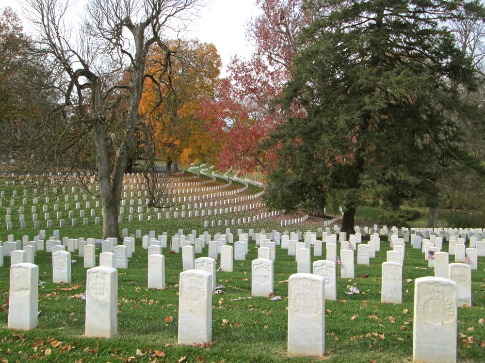
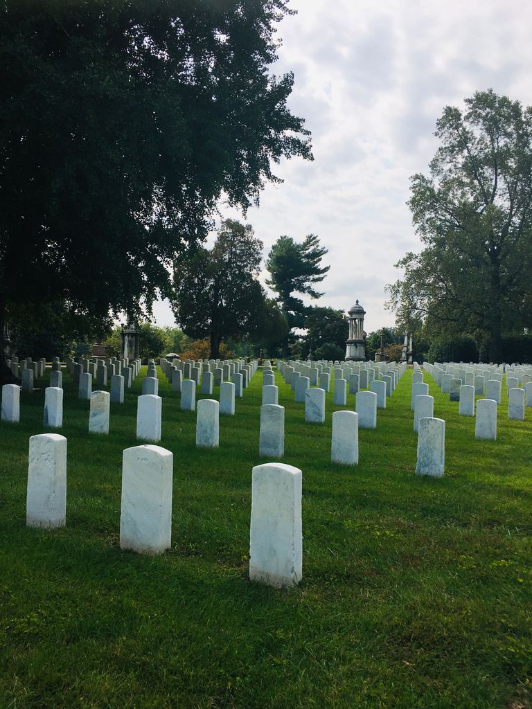
| Description | : | HISTORICAL INFORMATION Cave Hill National Cemetery is located in the northwest corner of Cave Hill Cemetery in Louisville, Ky. The original .65 acre was donated by the Cave Hill Cemetery Company as a burial site for soldiers who died in the service of their country. Additional acreage was added in 1863, 1864, 1867 and 1897 through donation and purchase. While the site was officially established as a national cemetery in 1863 within the fashionable Cave Hill Cemetery, the first interment occurred in November 1861. The initial burials were soldiers who died at camps and hospitals in the Louisville area. In spring 1867,... Read More |
frequently asked questions (FAQ):
-
Where is Cave Hill National Cemetery?
Cave Hill National Cemetery is located at 701 Baxter Avenue Louisville, Jefferson County ,Kentucky , 40204USA.
-
Cave Hill National Cemetery cemetery's updated grave count on graveviews.com?
29 memorials
-
Where are the coordinates of the Cave Hill National Cemetery?
Latitude: 38.2483800
Longitude: -85.7196000
Nearby Cemetories:
1. Eastern Cemetery
Louisville, Jefferson County, USA
Coordinate: 38.2470500, -85.7249100
2. Cave Hill Cemetery
Louisville, Jefferson County, USA
Coordinate: 38.2453600, -85.7146400
3. Hackberry Cemetery
Louisville, Jefferson County, USA
Coordinate: 38.2514500, -85.7032170
4. Calvary Cemetery
Louisville, Jefferson County, USA
Coordinate: 38.2256300, -85.7134700
5. Louisville Cemetery
Louisville, Jefferson County, USA
Coordinate: 38.2226905, -85.7276820
6. Louisville Presbyterian Seminary Memorial Garden
Louisville, Jefferson County, USA
Coordinate: 38.2387380, -85.6861190
7. Old City Cemetery
Jeffersonville, Clark County, USA
Coordinate: 38.2706220, -85.7429770
8. Civil War Cemetery
Jeffersonville, Clark County, USA
Coordinate: 38.2705400, -85.7436300
9. Fort George Cemetery
Louisville, Jefferson County, USA
Coordinate: 38.2320530, -85.7522260
10. First Unitarian Memorial Garden
Louisville, Jefferson County, USA
Coordinate: 38.2437920, -85.7583330
11. Cathedral of the Assumption
Louisville, Jefferson County, USA
Coordinate: 38.2525680, -85.7588370
12. Calvary Episcopal Church Burial Grounds
Louisville, Jefferson County, USA
Coordinate: 38.2437866, -85.7593283
13. Civil War Cemetery #2
Jeffersonville, Clark County, USA
Coordinate: 38.2818400, -85.7206700
14. Fort Nelson Burial Ground
Louisville, Jefferson County, USA
Coordinate: 38.2575100, -85.7616140
15. Clark Cemetery
Parkway Village, Jefferson County, USA
Coordinate: 38.2139015, -85.7285995
16. Mulberry Hill Cemetery
Louisville, Jefferson County, USA
Coordinate: 38.2139200, -85.7289130
17. Eastern Cemetery
Jeffersonville, Clark County, USA
Coordinate: 38.2832985, -85.7292023
18. Civil War Cemetery #3
Jeffersonville, Clark County, USA
Coordinate: 38.2848790, -85.7217790
19. Saint Anthony Cemetery
Jeffersonville, Clark County, USA
Coordinate: 38.2844009, -85.7281036
20. Reformatory Cemetery
Clarksville, Clark County, USA
Coordinate: 38.2744460, -85.7544820
21. Prather Cemetery
Louisville, Jefferson County, USA
Coordinate: 38.2096570, -85.7075220
22. Doup Family Cemetery
Louisville, Jefferson County, USA
Coordinate: 38.2211500, -85.6821200
23. Agudath Achim Cemetery
Louisville, Jefferson County, USA
Coordinate: 38.2097080, -85.7392200
24. Adath Jeshurun Cemetery
Louisville, Jefferson County, USA
Coordinate: 38.2075500, -85.7381470