
| Memorials | : | 23 |
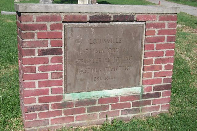
| Location | : | Louisville, Jefferson County, USA |
| Coordinate | : | 38.2470500, -85.7249100 |
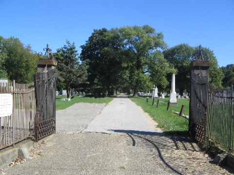
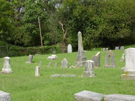
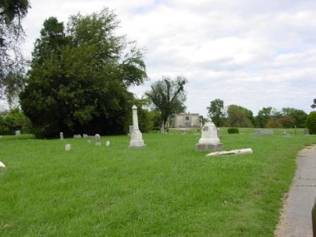
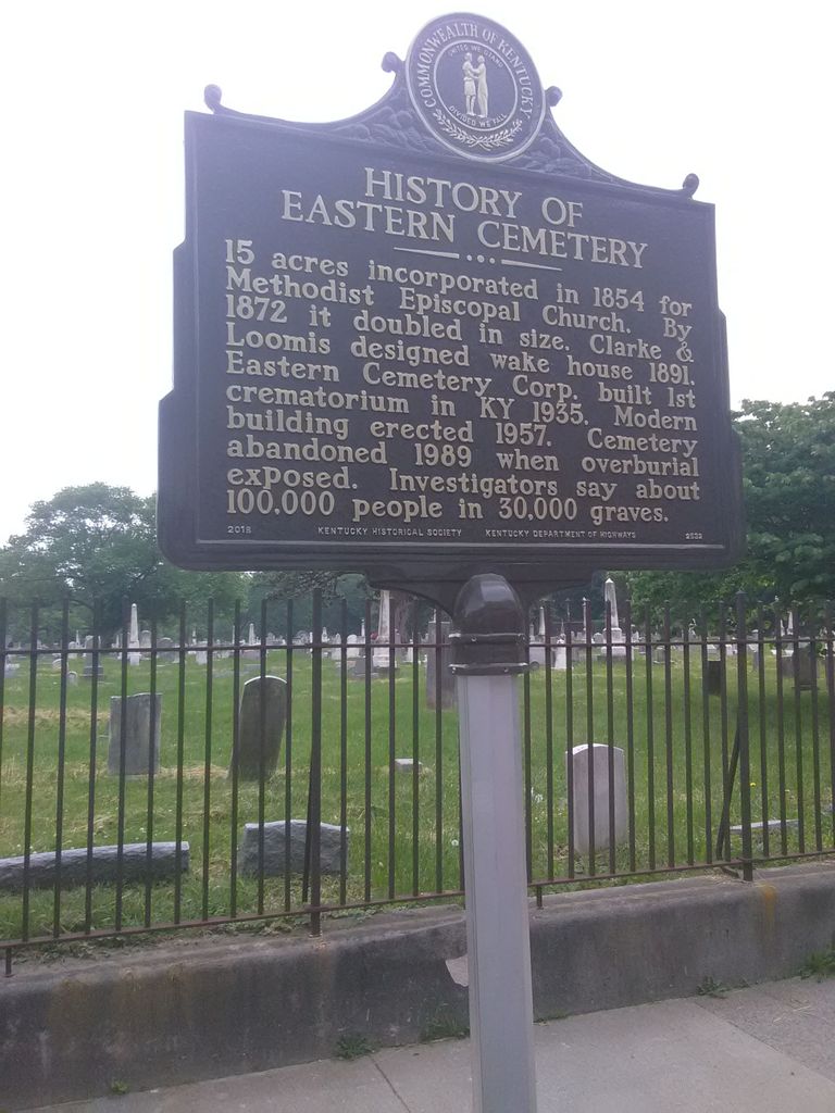
| Description | : | The Commonwealth of Kentucky appointed the Staff Archaeologist from the Department of Archaeology at the University of Louisville as the guardian of Eastern Cemetery when the overburial was discovered in 1989. Dr. Thomas Jennings Center for Archaeology and Cultural Heritage University of Louisville Louisville, KY 40292 https://louisville.edu/anthropology/cache/services-offered "For information about any of these cemeteries and individuals buried within them, please send requests to the dedicated email address [email protected] |
frequently asked questions (FAQ):
-
Where is Eastern Cemetery?
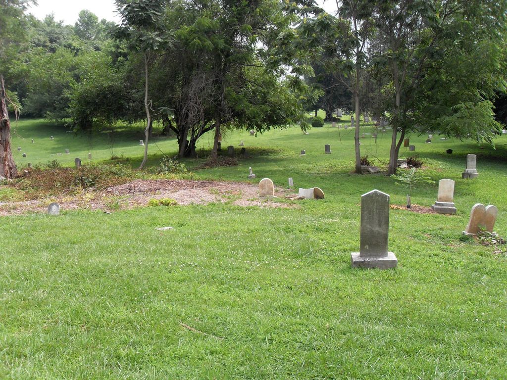
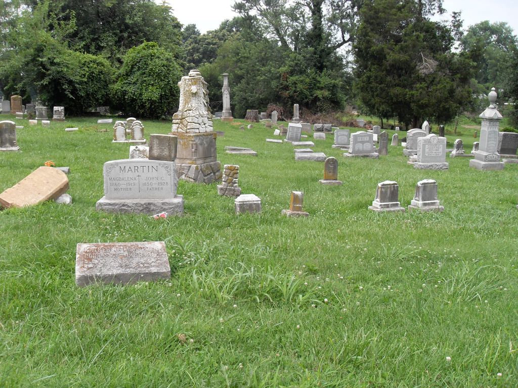
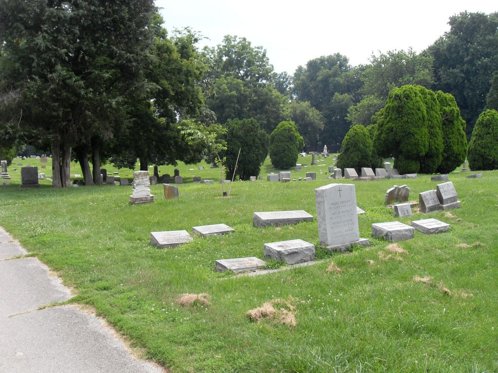
Eastern Cemetery is located at 641 Baxter Ave Louisville, Jefferson County ,Kentucky , 40204USA.
-
Eastern Cemetery cemetery's updated grave count on graveviews.com?
21 memorials
-
Where are the coordinates of the Eastern Cemetery?
Latitude: 38.2470500
Longitude: -85.7249100
Nearby Cemetories:
1. Cave Hill National Cemetery
Louisville, Jefferson County, USA
Coordinate: 38.2483800, -85.7196000
2. Cave Hill Cemetery
Louisville, Jefferson County, USA
Coordinate: 38.2453600, -85.7146400
3. Hackberry Cemetery
Louisville, Jefferson County, USA
Coordinate: 38.2514500, -85.7032170
4. Calvary Cemetery
Louisville, Jefferson County, USA
Coordinate: 38.2256300, -85.7134700
5. Louisville Cemetery
Louisville, Jefferson County, USA
Coordinate: 38.2226905, -85.7276820
6. Fort George Cemetery
Louisville, Jefferson County, USA
Coordinate: 38.2320530, -85.7522260
7. First Unitarian Memorial Garden
Louisville, Jefferson County, USA
Coordinate: 38.2437920, -85.7583330
8. Cathedral of the Assumption
Louisville, Jefferson County, USA
Coordinate: 38.2525680, -85.7588370
9. Calvary Episcopal Church Burial Grounds
Louisville, Jefferson County, USA
Coordinate: 38.2437866, -85.7593283
10. Old City Cemetery
Jeffersonville, Clark County, USA
Coordinate: 38.2706220, -85.7429770
11. Civil War Cemetery
Jeffersonville, Clark County, USA
Coordinate: 38.2705400, -85.7436300
12. Fort Nelson Burial Ground
Louisville, Jefferson County, USA
Coordinate: 38.2575100, -85.7616140
13. Louisville Presbyterian Seminary Memorial Garden
Louisville, Jefferson County, USA
Coordinate: 38.2387380, -85.6861190
14. Clark Cemetery
Parkway Village, Jefferson County, USA
Coordinate: 38.2139015, -85.7285995
15. Mulberry Hill Cemetery
Louisville, Jefferson County, USA
Coordinate: 38.2139200, -85.7289130
16. Civil War Cemetery #2
Jeffersonville, Clark County, USA
Coordinate: 38.2818400, -85.7206700
17. Reformatory Cemetery
Clarksville, Clark County, USA
Coordinate: 38.2744460, -85.7544820
18. Eastern Cemetery
Jeffersonville, Clark County, USA
Coordinate: 38.2832985, -85.7292023
19. Saint Anthony Cemetery
Jeffersonville, Clark County, USA
Coordinate: 38.2844009, -85.7281036
20. Civil War Cemetery #3
Jeffersonville, Clark County, USA
Coordinate: 38.2848790, -85.7217790
21. Agudath Achim Cemetery
Louisville, Jefferson County, USA
Coordinate: 38.2097080, -85.7392200
22. Prather Cemetery
Louisville, Jefferson County, USA
Coordinate: 38.2096570, -85.7075220
23. Adath Jeshurun Cemetery
Louisville, Jefferson County, USA
Coordinate: 38.2075500, -85.7381470
24. Louisville Crematorium Custodial Storage
Louisville, Jefferson County, USA
Coordinate: 38.2149200, -85.7583300