
| Memorials | : | 0 |
| Location | : | Crich, Amber Valley Borough, England |
| Coordinate | : | 53.0880100, -1.4819100 |
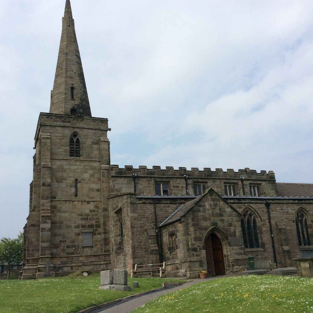
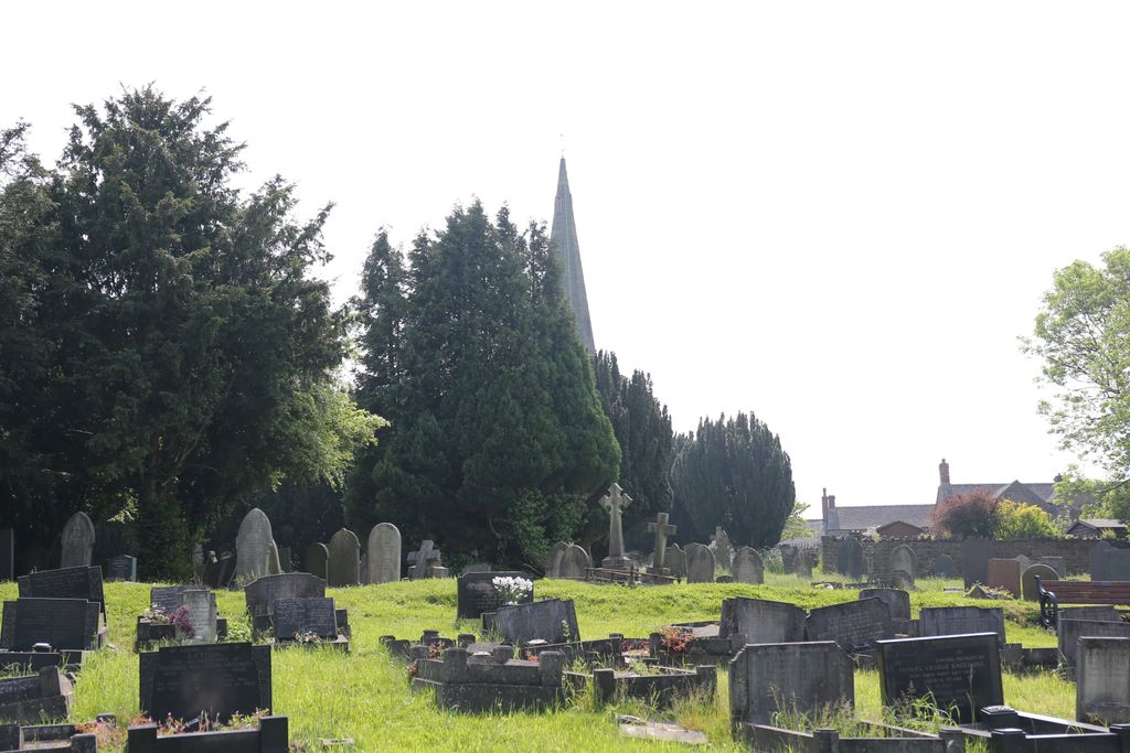
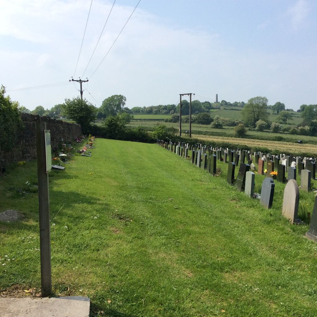
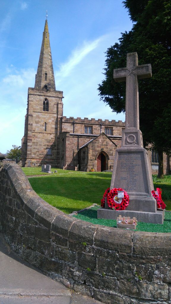
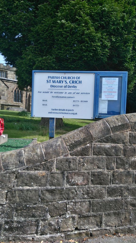
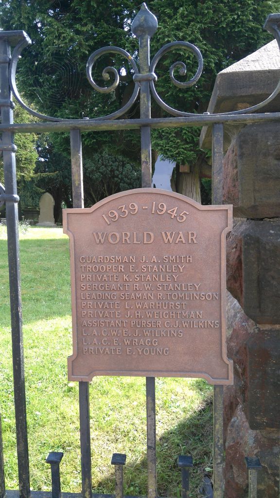
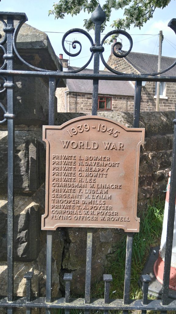
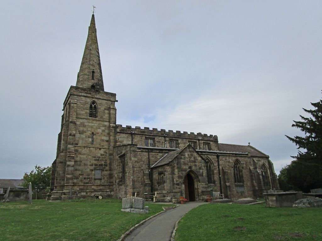
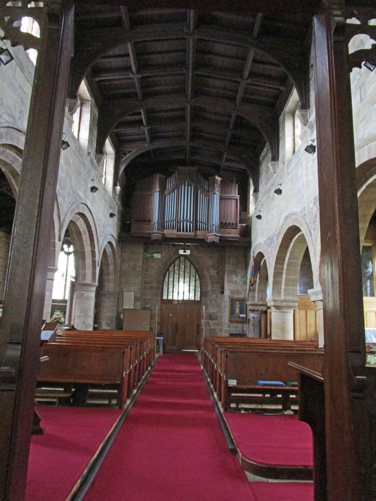
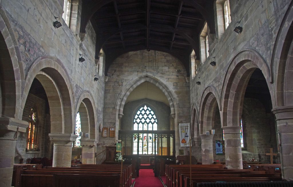
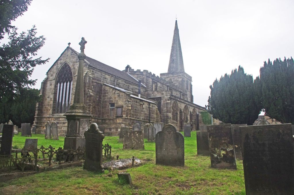
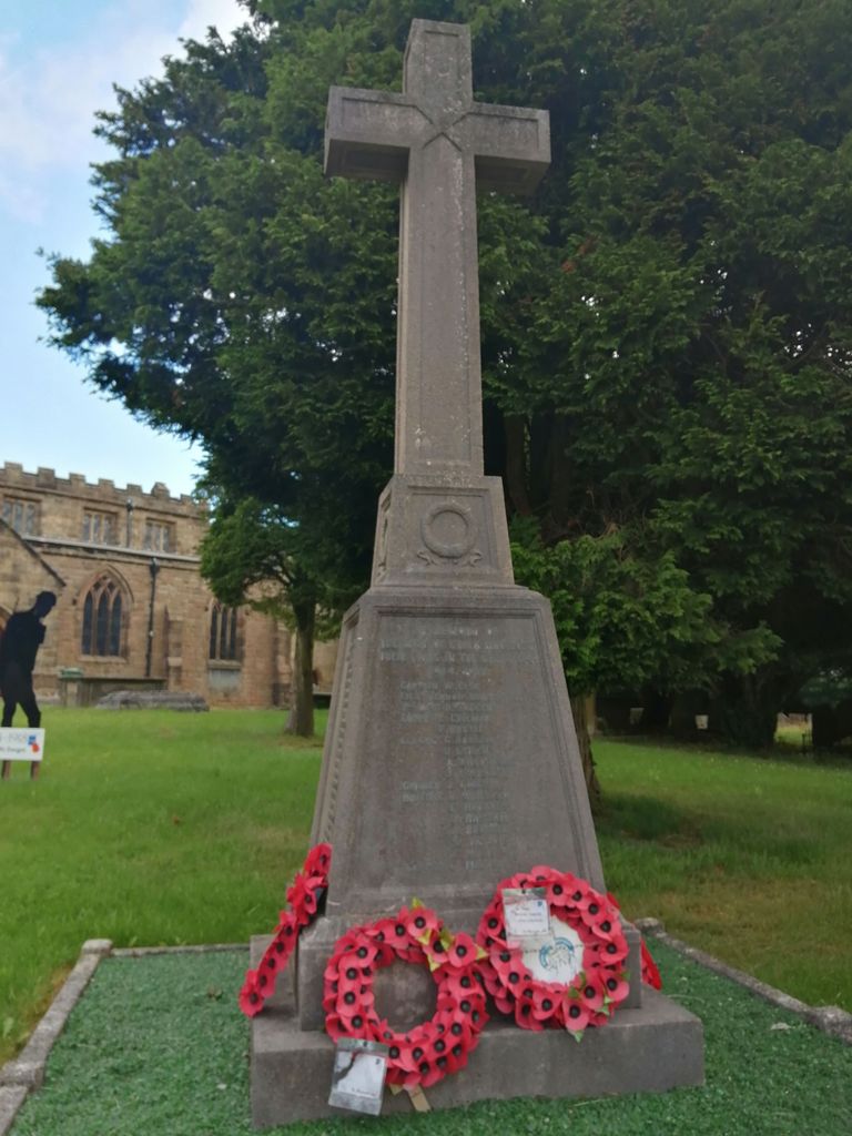
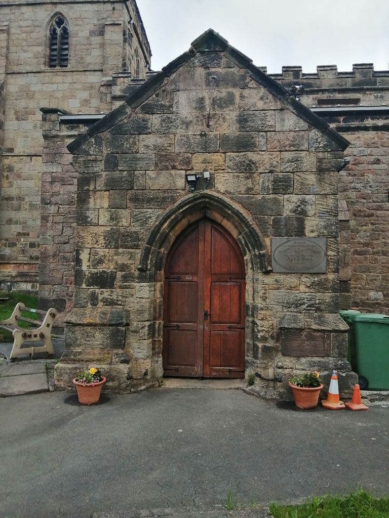
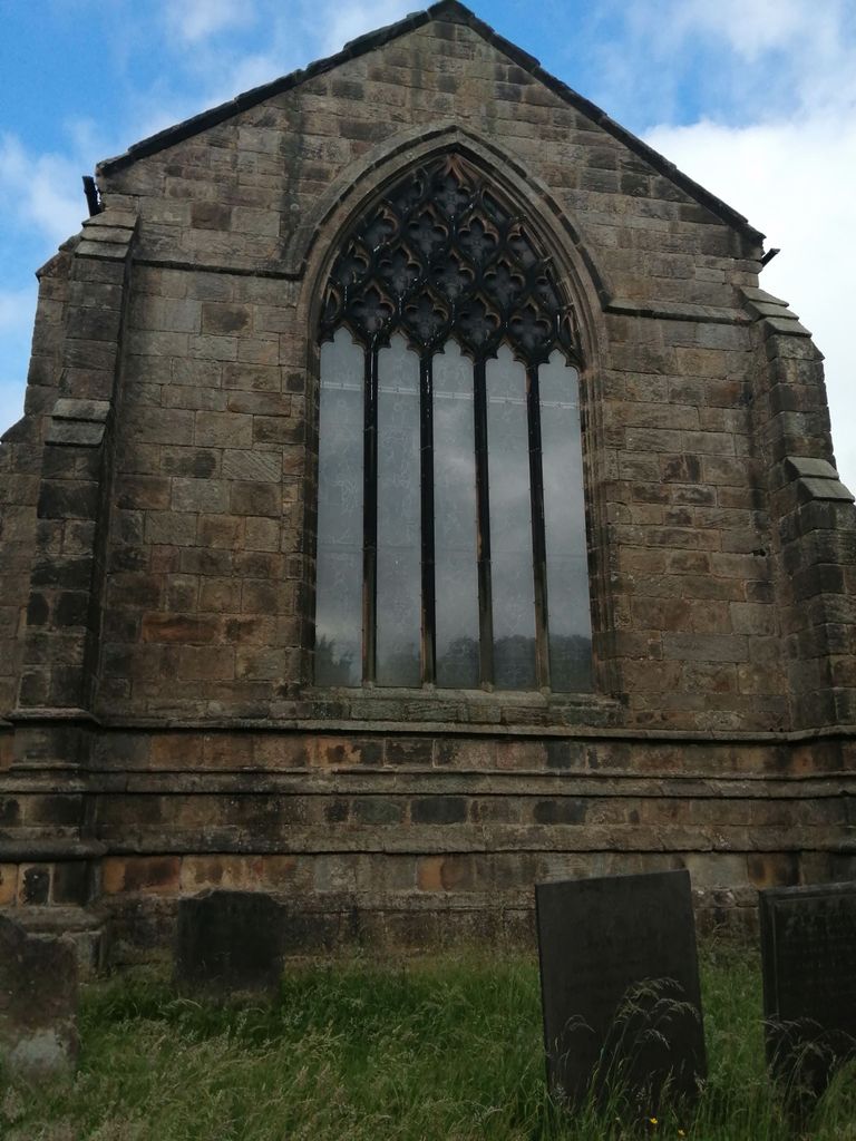
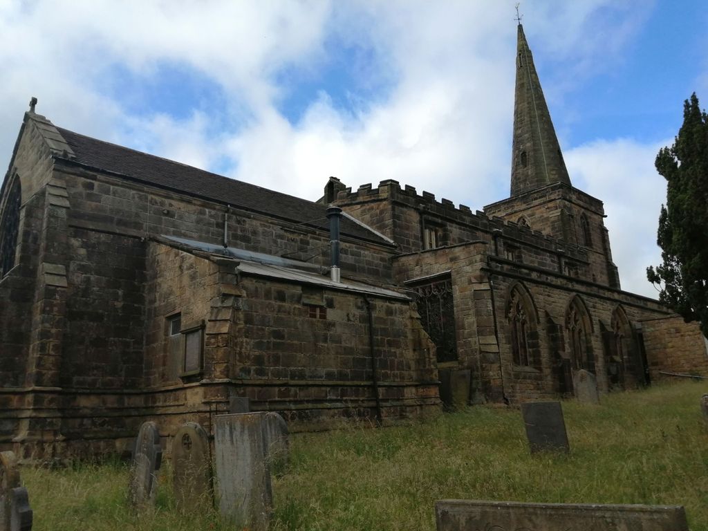
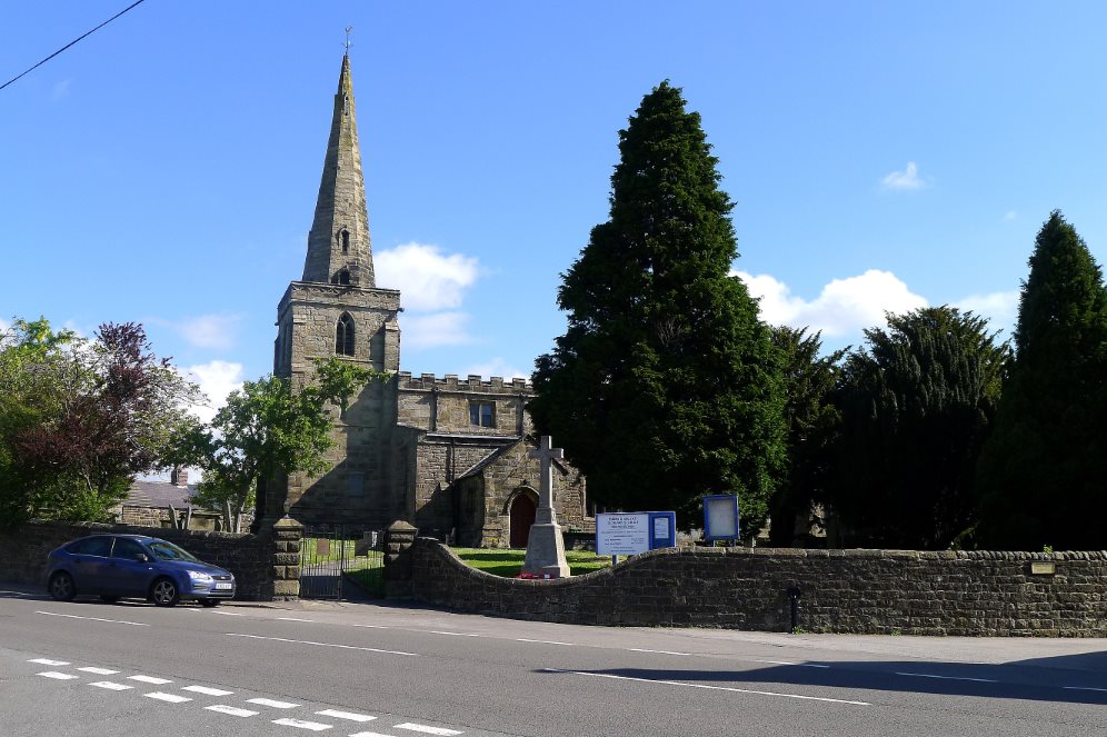
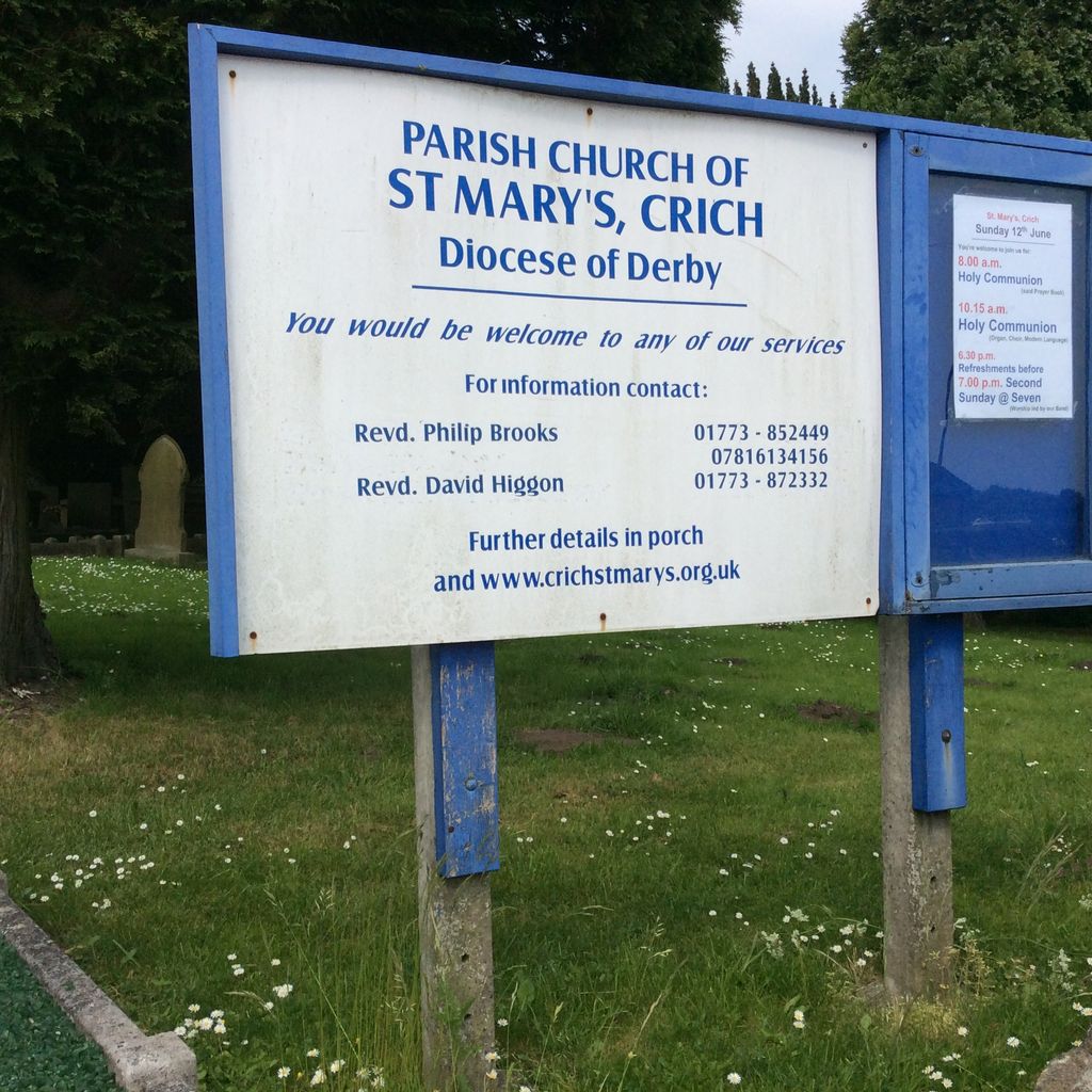
| Description | : | St Mary's church in the village of Crich, Derbyshire, is a Grade I listed building dating from 1135. Further building occurred in the 13th, 14th and 15th centuries, with a vestry added in the 20th century. For a while it was known as St Michael's; Crich Cross has an image of St. Michael in its roundel at the top. The church was hit by lightning on 5 February 1945, which caused a fire to start. It was extinguished by local volunteers armed with stirrup pumps. The church is in a joint parish with All Saints, South Wingfield. A large... Read More |
frequently asked questions (FAQ):
-
Where is Saint Mary's Churchyard?
Saint Mary's Churchyard is located at Crich, Amber Valley Borough ,Derbyshire ,England.
-
Saint Mary's Churchyard cemetery's updated grave count on graveviews.com?
0 memorials
-
Where are the coordinates of the Saint Mary's Churchyard?
Latitude: 53.0880100
Longitude: -1.4819100


Nearby Cemetories:
1. Wingfield Park
South Wingfield, Amber Valley Borough, England
Coordinate: 53.0800910, -1.4450070
2. St. Margaret's Chapel
Alderwasley, Amber Valley Borough, England
Coordinate: 53.0769800, -1.5180550
3. Alderwasley cemetery
Alderwasley, Amber Valley Borough, England
Coordinate: 53.0767150, -1.5186900
4. Dethick Lea and Holloway Cemetery
Holloway, Amber Valley Borough, England
Coordinate: 53.1075100, -1.5183800
5. All Saints Churchyard
South Wingfield, Amber Valley Borough, England
Coordinate: 53.0977640, -1.4291210
6. St Luke's Heage
Belper, Amber Valley Borough, England
Coordinate: 53.0516040, -1.4501580
7. St Luke Churchyard
Heage, Amber Valley Borough, England
Coordinate: 53.0516130, -1.4500690
8. St. Luke's Churchyard
Heage, Amber Valley Borough, England
Coordinate: 53.0516000, -1.4500700
9. St. Matthew's Churchyard
Pentrich, Amber Valley Borough, England
Coordinate: 53.0690080, -1.4201570
10. Holy Trinity Churchyard
Brackenfield, North East Derbyshire District, England
Coordinate: 53.1268949, -1.4443555
11. St. Mary's Churchyard
Cromford, Derbyshire Dales District, England
Coordinate: 53.1104260, -1.5538440
12. Belper Cemetery
Belper, Amber Valley Borough, England
Coordinate: 53.0370590, -1.4793930
13. Holy Trinity Churchyard
Tansley, Derbyshire Dales District, England
Coordinate: 53.1353920, -1.5194670
14. Steeple Arch Cemetery
Wirksworth, Derbyshire Dales District, England
Coordinate: 53.0969820, -1.5688340
15. St. Mark's Churchyard
Cromford, Derbyshire Dales District, England
Coordinate: 53.1076550, -1.5647150
16. Wirksworth Cemetery
Wirksworth, Derbyshire Dales District, England
Coordinate: 53.0856224, -1.5709003
17. Wirksworth Baptist Burial Ground
Wirksworth, Derbyshire Dales District, England
Coordinate: 53.0848778, -1.5709972
18. St. Martin's Churchyard
Alfreton, Amber Valley Borough, England
Coordinate: 53.0986500, -1.3931700
19. St. Mary's Church Vaults
Wirksworth, Derbyshire Dales District, England
Coordinate: 53.0819830, -1.5723380
20. St. Mary's Churchyard
Wirksworth, Derbyshire Dales District, England
Coordinate: 53.0819830, -1.5723380
21. Holy Trinity Churchyard
Matlock Bath, Derbyshire Dales District, England
Coordinate: 53.1172020, -1.5612230
22. St. Leonard Churchyard
Shirland, North East Derbyshire District, England
Coordinate: 53.1217950, -1.4042010
23. Alfreton Cemetery
Alfreton, Amber Valley Borough, England
Coordinate: 53.0998050, -1.3853550
24. St. Giles' Churchyard
Matlock, Derbyshire Dales District, England
Coordinate: 53.1343560, -1.5533960