
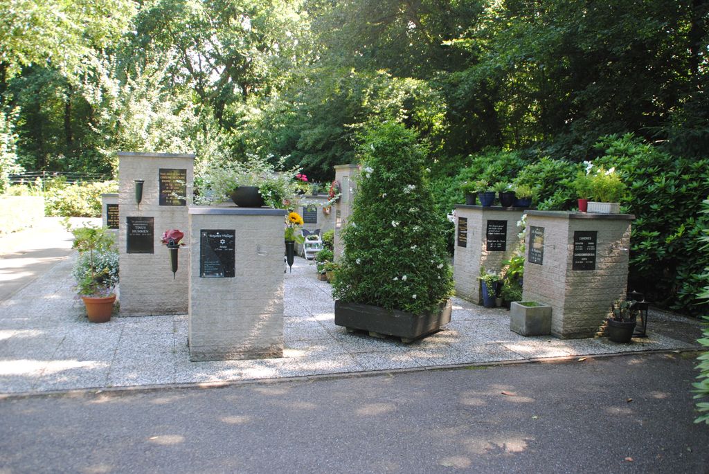
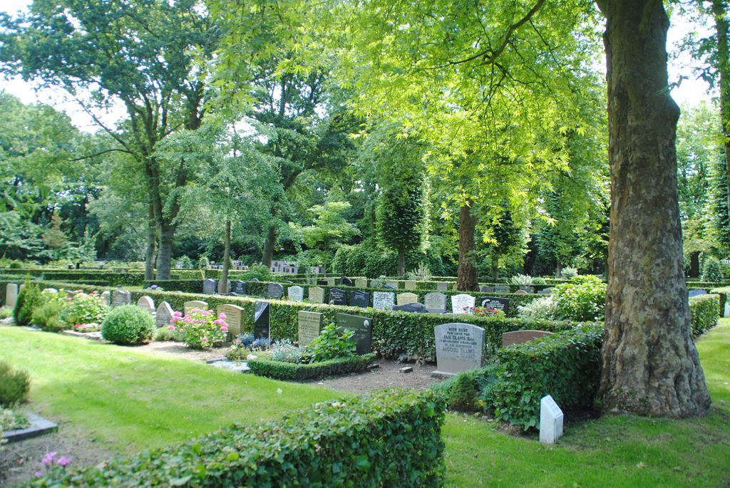
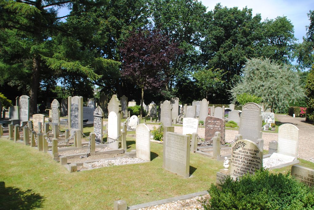
| Memorials | : | 0 |
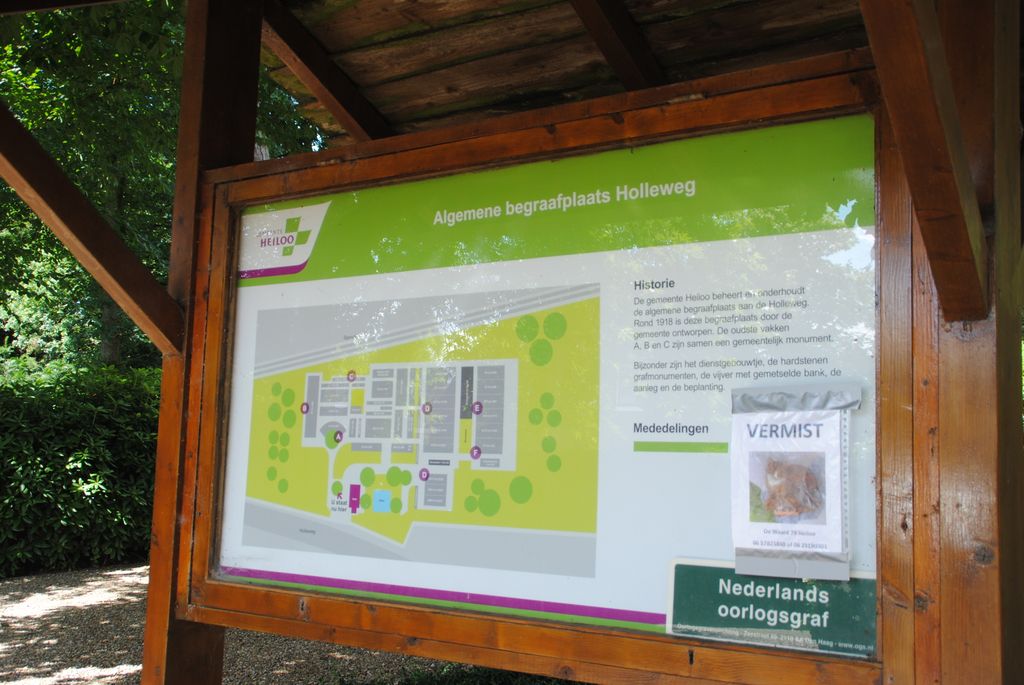
| Location | : | Heiloo, Heiloo Municipality, Netherlands |
| Coordinate | : | 52.6026850, 4.7044120 |
frequently asked questions (FAQ):
-
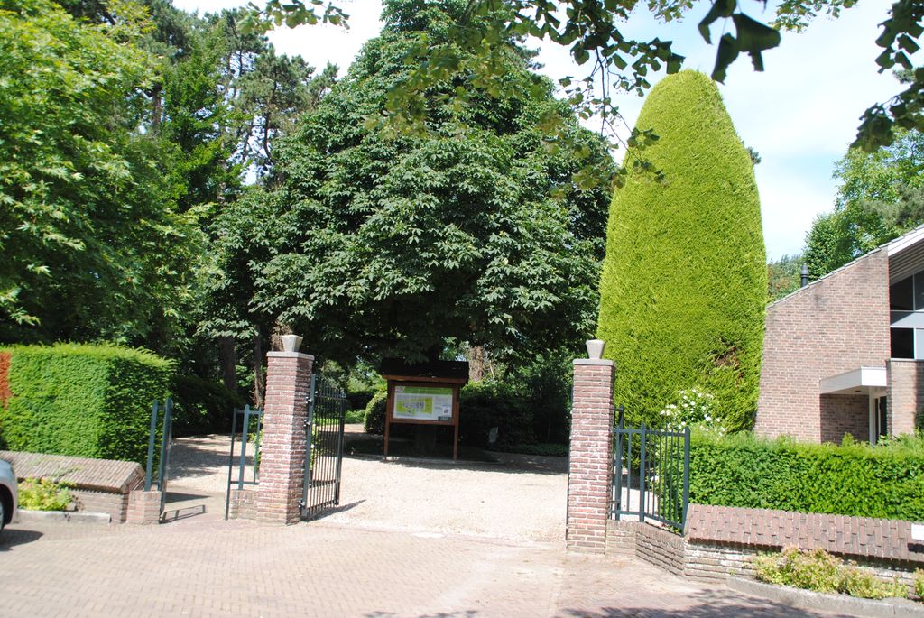
Where is Algemene Begraafsplaats Holleweg?
Algemene Begraafsplaats Holleweg is located at Holleweg 133 Heiloo, Heiloo Municipality ,Noord-Holland , 1851Netherlands.
-
Algemene Begraafsplaats Holleweg cemetery's updated grave count on graveviews.com?
0 memorials
-
Where are the coordinates of the Algemene Begraafsplaats Holleweg?
Latitude: 52.6026850
Longitude: 4.7044120
Nearby Cemetories:
1. RK Begraafplaats Willibrordushof
Heiloo, Heiloo Municipality, Netherlands
Coordinate: 52.5999540, 4.6975590
2. Witte Kerk Cemetery
Heiloo, Heiloo Municipality, Netherlands
Coordinate: 52.6049130, 4.7128400
3. Joodse Begraafplaats
Alkmaar Municipality, Netherlands
Coordinate: 52.6255000, 4.7279200
4. Alkmaar Sint-Barbara Roman Catholic Cemetery
Alkmaar, Alkmaar Municipality, Netherlands
Coordinate: 52.6243500, 4.7318460
5. Egmond Abbey
Egmond aan den Hoef, Bergen Municipality, Netherlands
Coordinate: 52.5950000, 4.6602780
6. Alkmaar Algemene Begraafplaats
Alkmaar, Alkmaar Municipality, Netherlands
Coordinate: 52.6277500, 4.7302600
7. Limmen Protestant Churchyard
Limmen, Castricum Municipality, Netherlands
Coordinate: 52.5716780, 4.7007150
8. Grote Sint Laurenskerk
Alkmaar, Alkmaar Municipality, Netherlands
Coordinate: 52.6325150, 4.7440124
9. Begraafplaats Protestantse Gemeente
Akersloot, Castricum Municipality, Netherlands
Coordinate: 52.5608010, 4.7296890
10. Overtuin Begraafsplaats
Akersloot, Castricum Municipality, Netherlands
Coordinate: 52.5617700, 4.7374500
11. Egmond aan Zee Algemene Begraafplaats
Egmond aan Zee, Bergen Municipality, Netherlands
Coordinate: 52.6189449, 4.6337843
12. Sint-Pancratiuskerkhof
Castricum, Castricum Municipality, Netherlands
Coordinate: 52.5476200, 4.6685500
13. Castricum Protestant Cemetery
Castricum, Castricum Municipality, Netherlands
Coordinate: 52.5463500, 4.6637700
14. Ruinekerk
Bergen, Bergen Municipality, Netherlands
Coordinate: 52.6703450, 4.7054100
15. Stompetoren Churchyard
Stompetoren, Alkmaar Municipality, Netherlands
Coordinate: 52.6115300, 4.8197300
16. Bergen General Cemetery
Bergen, Bergen Municipality, Netherlands
Coordinate: 52.6772500, 4.7098600
17. Rooms Katholieke begraafplaats
Uitgeest, Uitgeest Municipality, Netherlands
Coordinate: 52.5266880, 4.7151508
18. Heemskerk Protestant Churchyard
Heemskerk, Heemskerk Municipality, Netherlands
Coordinate: 52.5103100, 4.6711700
19. Schoorl General Cemetery
Schoorl, Bergen Municipality, Netherlands
Coordinate: 52.7060800, 4.6981500
20. Algemene Begraafplaats
Krommenie, Zaanstad Municipality, Netherlands
Coordinate: 52.5046800, 4.7675600
21. Rooms Katholieke Begraafplaats
Ursem, Koggenland Municipality, Netherlands
Coordinate: 52.6267350, 4.8897360
22. Beverwijk General Cemetery
Beverwijk, Beverwijk Municipality, Netherlands
Coordinate: 52.4932300, 4.6370000
23. Wormerveer-West Algemene Begraafplaats
Wormerveer, Zaanstad Municipality, Netherlands
Coordinate: 52.4938340, 4.7864340
24. Rooms-Katholieke Begraafplaats
Westbeemster, Beemster Municipality, Netherlands
Coordinate: 52.5666656, 4.9000001