| Memorials | : | 0 |
| Location | : | Alkmaar, Alkmaar Municipality, Netherlands |
| Website | : | grotekerk-alkmaar.nl |
| Coordinate | : | 52.6325150, 4.7440124 |
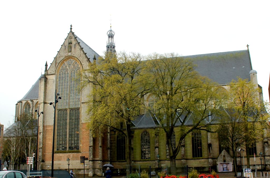
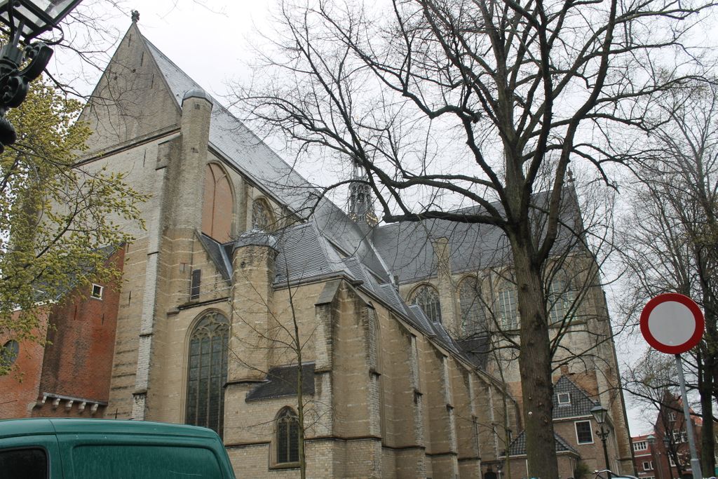
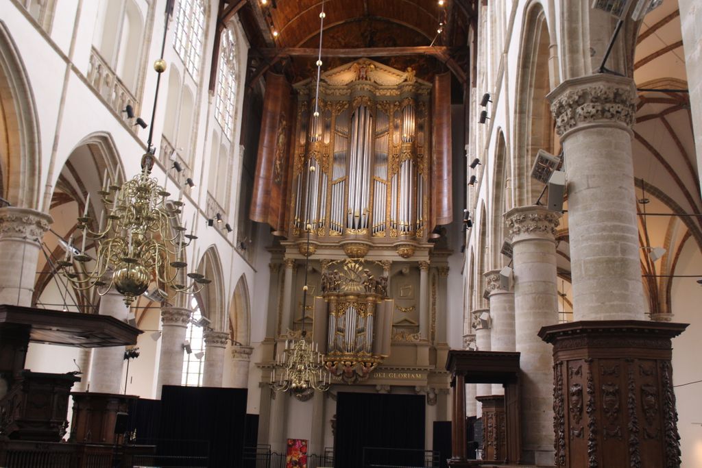
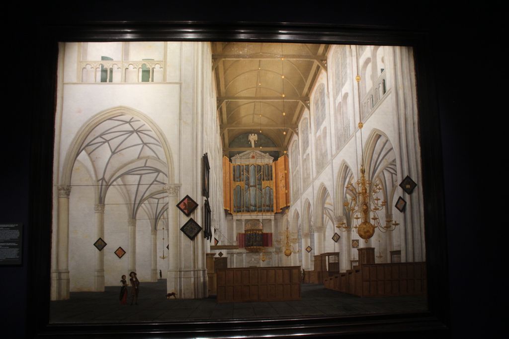
| Description | : | Open Tuesday-Sunday 10:00-1700 hours - free access Construction was started in 1470 on the church currently at this location. There are over 1700 tombstones in the church, each bearing emblems, coats of arms and occupational insignia. |
frequently asked questions (FAQ):
-
Where is Grote Sint Laurenskerk?
Grote Sint Laurenskerk is located at Koorstraat 2 Alkmaar, Alkmaar Municipality ,Noord-Holland , 1811Netherlands.
-
Grote Sint Laurenskerk cemetery's updated grave count on graveviews.com?
0 memorials
-
Where are the coordinates of the Grote Sint Laurenskerk?
Latitude: 52.6325150
Longitude: 4.7440124
Nearby Cemetories:
1. Alkmaar Algemene Begraafplaats
Alkmaar, Alkmaar Municipality, Netherlands
Coordinate: 52.6277500, 4.7302600
2. Alkmaar Sint-Barbara Roman Catholic Cemetery
Alkmaar, Alkmaar Municipality, Netherlands
Coordinate: 52.6243500, 4.7318460
3. Joodse Begraafplaats
Alkmaar Municipality, Netherlands
Coordinate: 52.6255000, 4.7279200
4. Witte Kerk Cemetery
Heiloo, Heiloo Municipality, Netherlands
Coordinate: 52.6049130, 4.7128400
5. Algemene Begraafsplaats Holleweg
Heiloo, Heiloo Municipality, Netherlands
Coordinate: 52.6026850, 4.7044120
6. RK Begraafplaats Willibrordushof
Heiloo, Heiloo Municipality, Netherlands
Coordinate: 52.5999540, 4.6975590
7. Ruinekerk
Bergen, Bergen Municipality, Netherlands
Coordinate: 52.6703450, 4.7054100
8. Bergen General Cemetery
Bergen, Bergen Municipality, Netherlands
Coordinate: 52.6772500, 4.7098600
9. Stompetoren Churchyard
Stompetoren, Alkmaar Municipality, Netherlands
Coordinate: 52.6115300, 4.8197300
10. Egmond Abbey
Egmond aan den Hoef, Bergen Municipality, Netherlands
Coordinate: 52.5950000, 4.6602780
11. Limmen Protestant Churchyard
Limmen, Castricum Municipality, Netherlands
Coordinate: 52.5716780, 4.7007150
12. Egmond aan Zee Algemene Begraafplaats
Egmond aan Zee, Bergen Municipality, Netherlands
Coordinate: 52.6189449, 4.6337843
13. Overtuin Begraafsplaats
Akersloot, Castricum Municipality, Netherlands
Coordinate: 52.5617700, 4.7374500
14. Begraafplaats Protestantse Gemeente
Akersloot, Castricum Municipality, Netherlands
Coordinate: 52.5608010, 4.7296890
15. Schoorl General Cemetery
Schoorl, Bergen Municipality, Netherlands
Coordinate: 52.7060800, 4.6981500
16. Rooms Katholieke Begraafplaats
Ursem, Koggenland Municipality, Netherlands
Coordinate: 52.6267350, 4.8897360
17. Sint-Pancratiuskerkhof
Castricum, Castricum Municipality, Netherlands
Coordinate: 52.5476200, 4.6685500
18. Castricum Protestant Cemetery
Castricum, Castricum Municipality, Netherlands
Coordinate: 52.5463500, 4.6637700
19. Rooms Katholieke begraafplaats
Uitgeest, Uitgeest Municipality, Netherlands
Coordinate: 52.5266880, 4.7151508
20. Veenhuizen Churchyard
Veenhuizen, Heerhugowaard Municipality, Netherlands
Coordinate: 52.7027900, 4.8905700
21. Rooms-Katholieke Begraafplaats
Westbeemster, Beemster Municipality, Netherlands
Coordinate: 52.5666656, 4.9000001
22. Rooms Katholieke Begraafplaats
De Goorn, Koggenland Municipality, Netherlands
Coordinate: 52.6267350, 4.9455000
23. Algemene Begraafplaats
Krommenie, Zaanstad Municipality, Netherlands
Coordinate: 52.5046800, 4.7675600
24. Heemskerk Protestant Churchyard
Heemskerk, Heemskerk Municipality, Netherlands
Coordinate: 52.5103100, 4.6711700


