
| Memorials | : | 24 |
| Location | : | Herefordshire Unitary Authority, England |
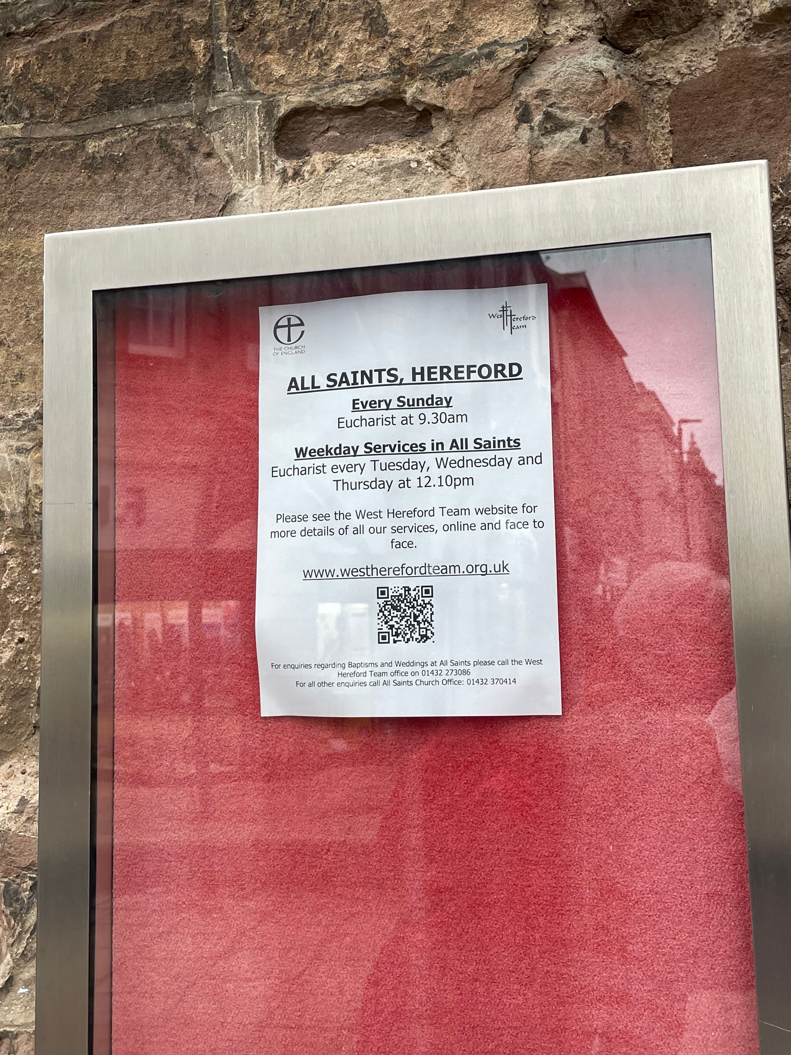
| Phone | : | 01432 370415 |
| Website | : | westherefordteam.org.uk/allsaints/ |
| Coordinate | : | 52.3229700, 2.4334400 |
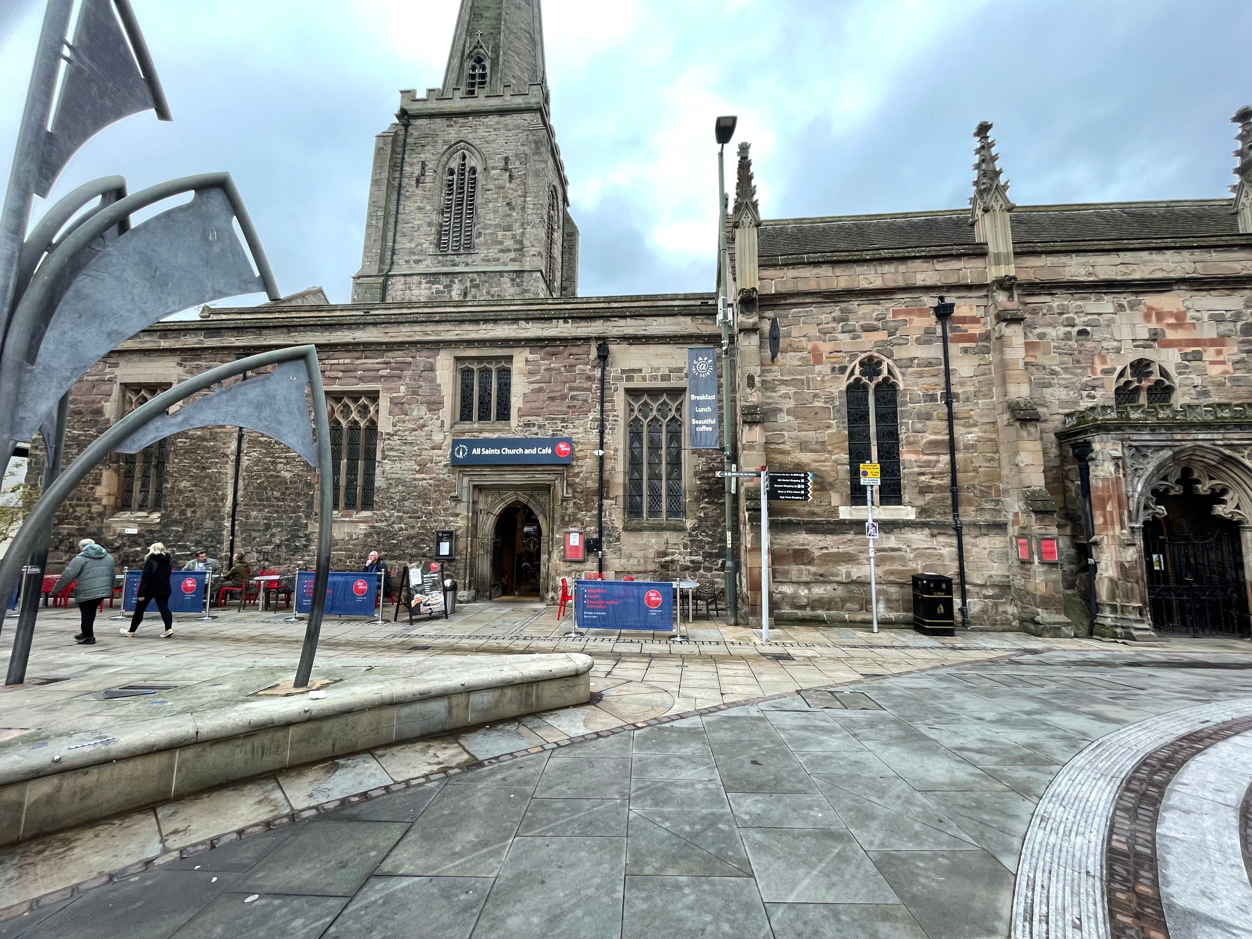
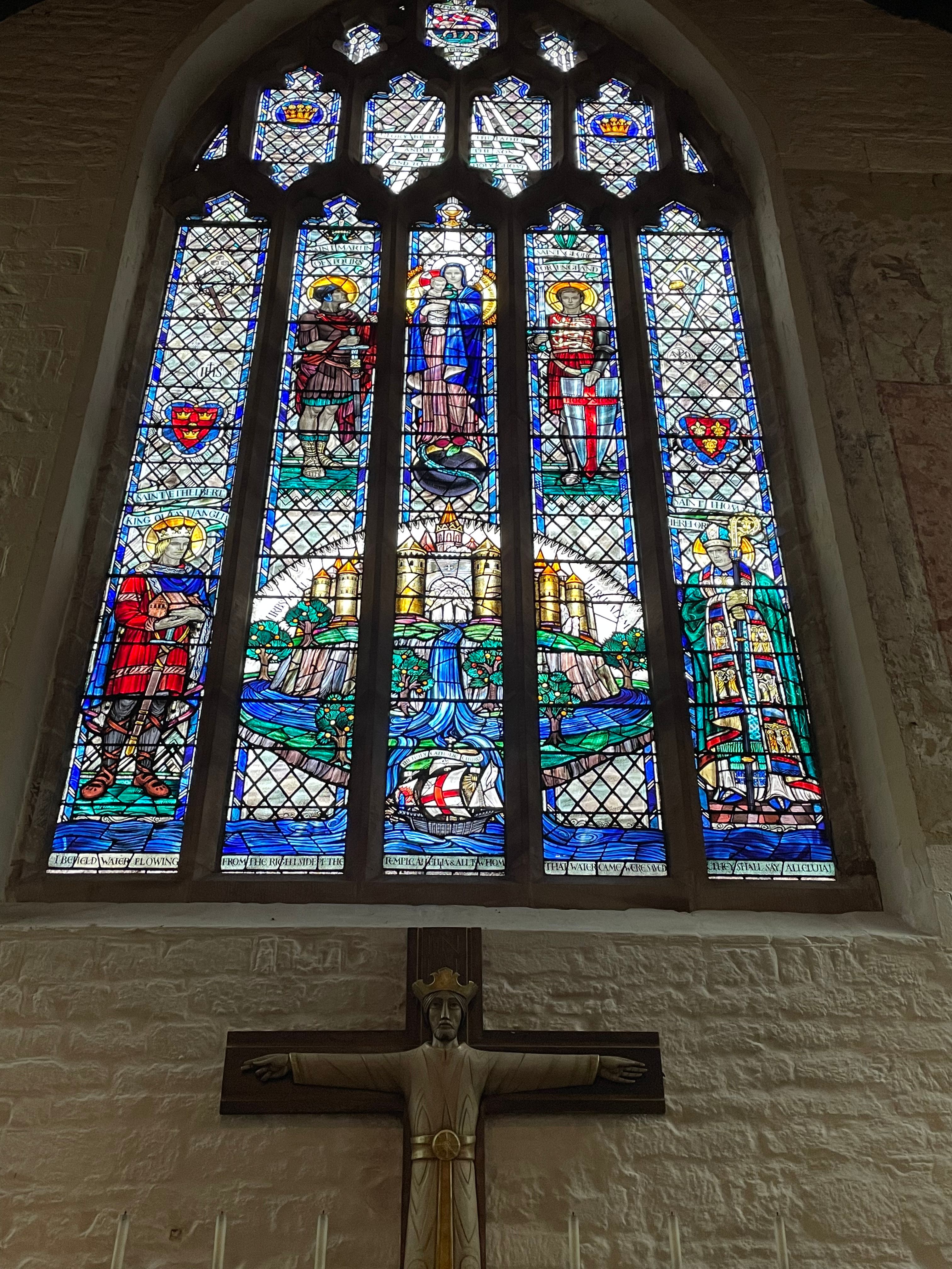
| Description | : | The original All Saints, probably dating from 1200AD, did not last long and it may well have been damaged by an earthquake. Rebuilding was soon started, but took a long time and it was not until about 1330AD that the new church was completed, very much as we see it today. It seems that the tower and spire had always leant over (until the straightening of the 1990s), because the builders did not realise until it was too late that they were laying the foundations of one side very close to one and possibly more rubbish pits. In later years the... Read More |
frequently asked questions (FAQ):
-
Where is All Saints Church?
All Saints Church is located at High Street, Hereford, Herefordshire Herefordshire Unitary Authority ,Herefordshire , HR4 9AAEngland.
-
All Saints Church cemetery's updated grave count on graveviews.com?
24 memorials
-
Where are the coordinates of the All Saints Church?
Latitude: 52.3229700
Longitude: 2.4334400

Nearby Cemetories:
1. Lowestoft Naval Memorial
Lowestoft, Waveney District, England
Coordinate: 52.4883730, 1.7554520
2. RNPS Belle Vue Park Cemetery
Lowestoft, Waveney District, England
Coordinate: 52.4901740, 1.7559862
3. All Saints & St Margaret Churchyard
Pakefield, Waveney District, England
Coordinate: 52.4533520, 1.7344150
4. St. Peter and St. John Churchyard
Kirkley, Waveney District, England
Coordinate: 52.4628290, 1.7384010
5. Kirkley Cemetery
Lowestoft, Waveney District, England
Coordinate: 52.4583260, 1.7353110
6. St. Andrew's Churchyard
Covehithe, Waveney District, England
Coordinate: 52.3761800, 1.7056300
7. St Edmund Churchyard
Kessingland, Waveney District, England
Coordinate: 52.4158970, 1.7157750
8. Lowestoft Cemetery
Lowestoft, Waveney District, England
Coordinate: 52.4814390, 1.7404560
9. St Margaret Churchyard
Lowestoft, Waveney District, England
Coordinate: 52.4860970, 1.7402750
10. Gunton Woodland Burial Park
Lowestoft, Waveney District, England
Coordinate: 52.5010260, 1.7461380
11. St. Peter's Churchyard
Gunton, Waveney District, England
Coordinate: 52.5003000, 1.7444000
12. St. Michael's Churchyard
Benacre, Waveney District, England
Coordinate: 52.4003900, 1.6907680
13. Corton War Memorial
Corton, Waveney District, England
Coordinate: 52.5148430, 1.7471340
14. St. Edmund's Churchyard
Southwold, Waveney District, England
Coordinate: 52.3282060, 1.6786390
15. Holy Trinity Churchyard
Gisleham, Waveney District, England
Coordinate: 52.4372320, 1.6975344
16. St Bartholomew Churchyard
Corton, Waveney District, England
Coordinate: 52.5213100, 1.7404800
17. St. Lawrence's Churchyard
South Cove, Waveney District, England
Coordinate: 52.3689060, 1.6708800
18. St Peter's New Churchyard
Carlton Colville, Waveney District, England
Coordinate: 52.4528500, 1.6953250
19. St Peter's Churchyard
Carlton Colville, Waveney District, England
Coordinate: 52.4514530, 1.6929030
20. Wrentham Municipal Cemetery
Wrentham, Waveney District, England
Coordinate: 52.4020520, 1.6676040
21. Southwold Cemetery
Southwold, Waveney District, England
Coordinate: 52.3457710, 1.6572730
22. St Margaret of Antioch Churchyard
Reydon, Waveney District, England
Coordinate: 52.3451350, 1.6556580
23. St. Michael's Churchyard
Oulton, Waveney District, England
Coordinate: 52.4823570, 1.6952900
24. St. Nicholas' Churchyard
Wrentham, Waveney District, England
Coordinate: 52.3885730, 1.6565260