
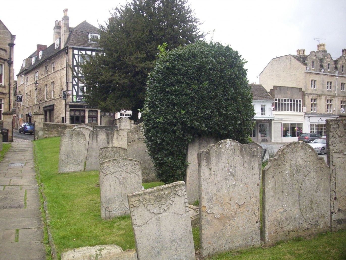
| Memorials | : | 114 |
| Location | : | Stamford, South Kesteven District, England |
| Coordinate | : | 52.6522610, -0.4808400 |
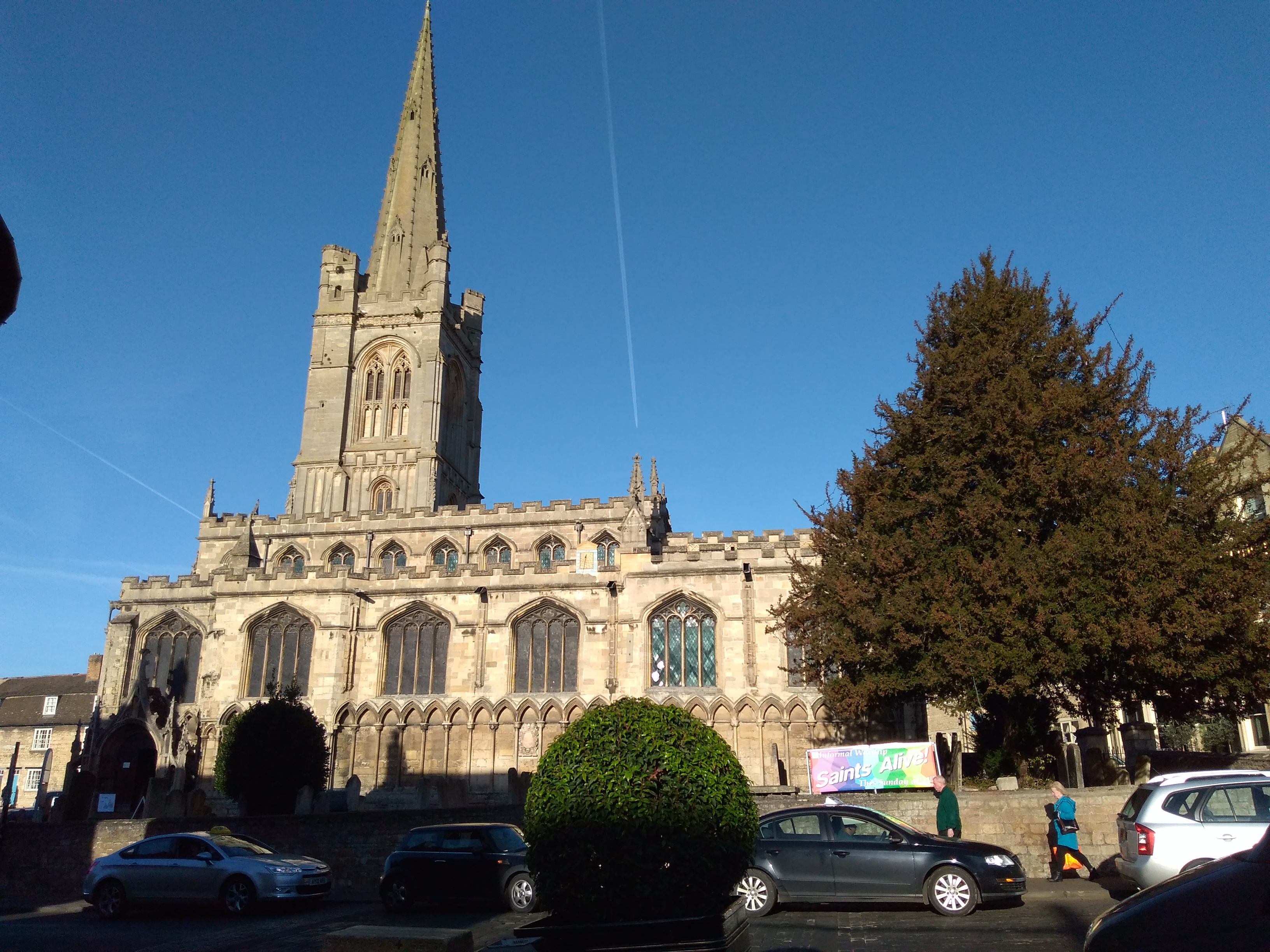
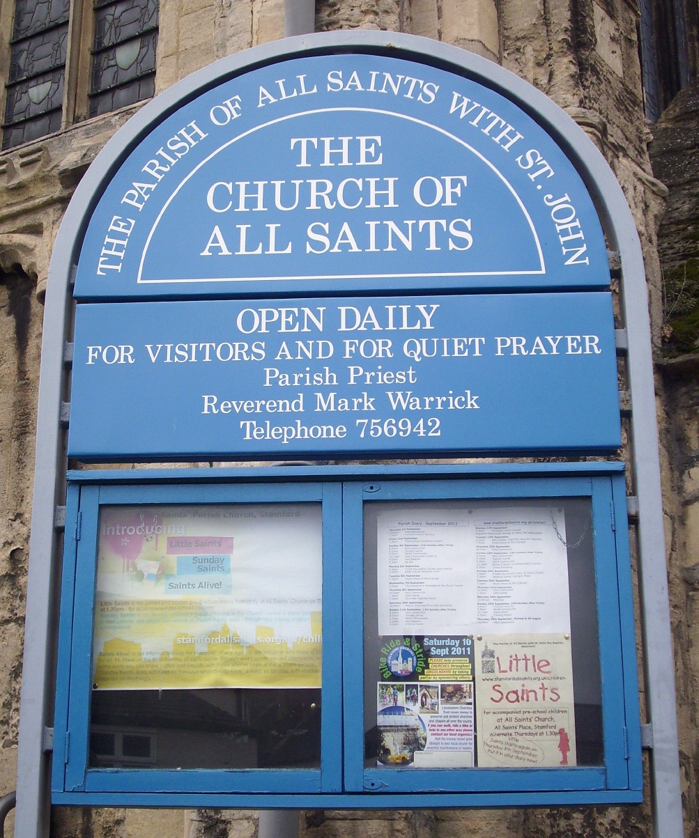
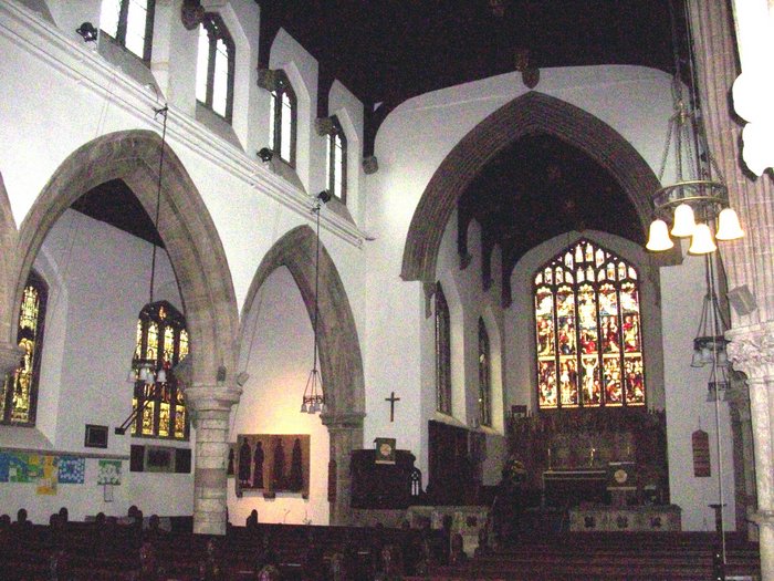
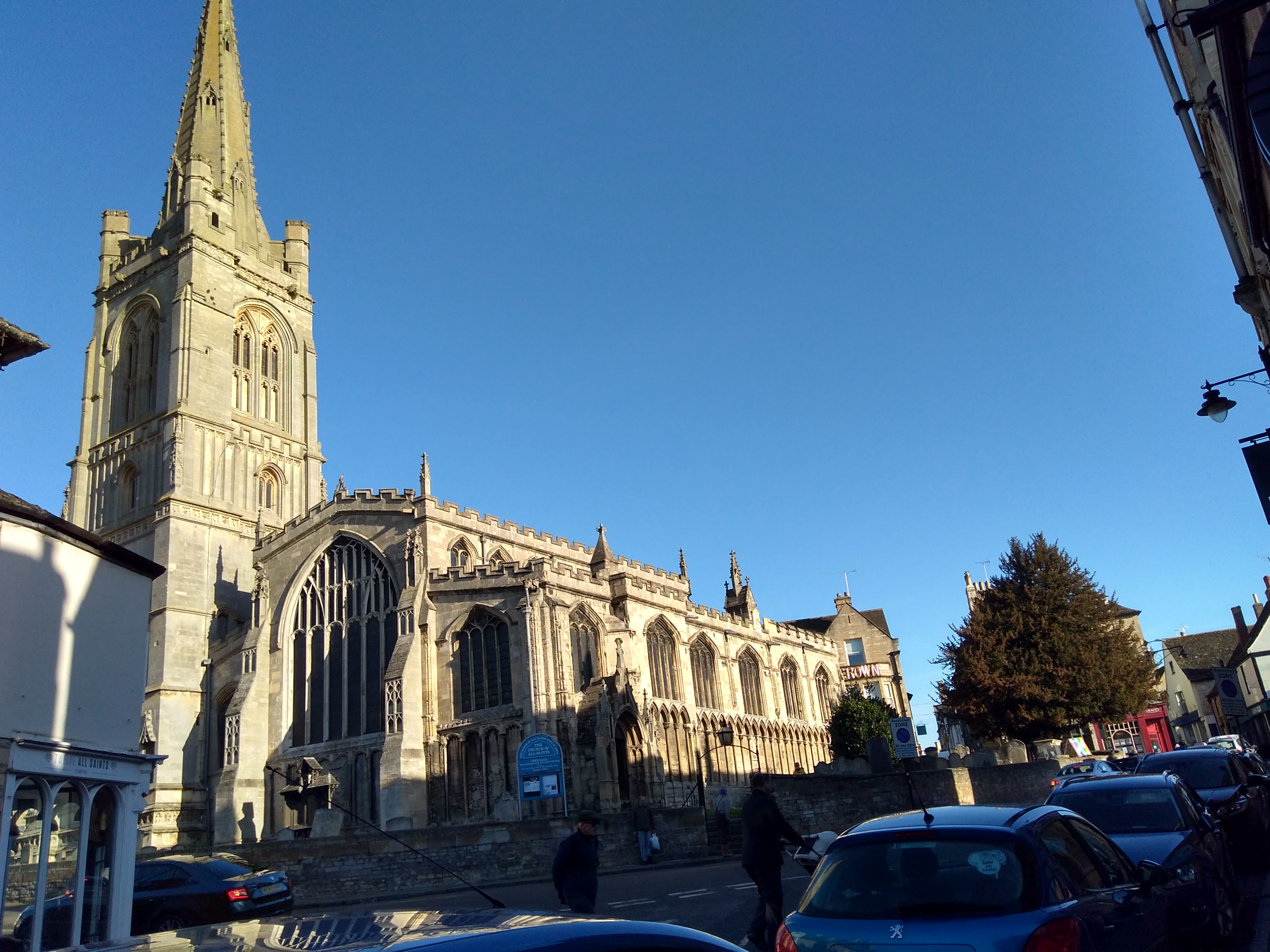
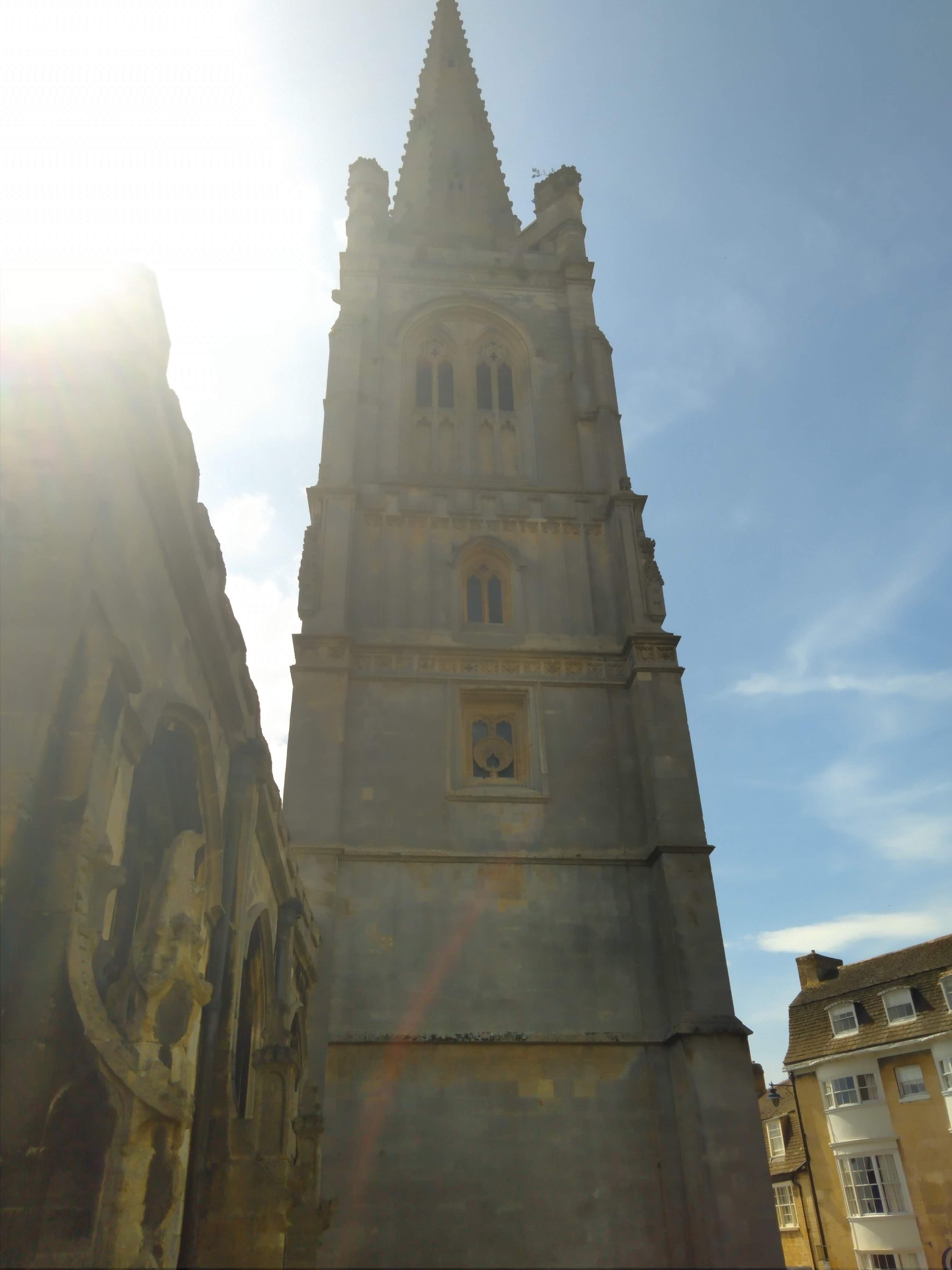
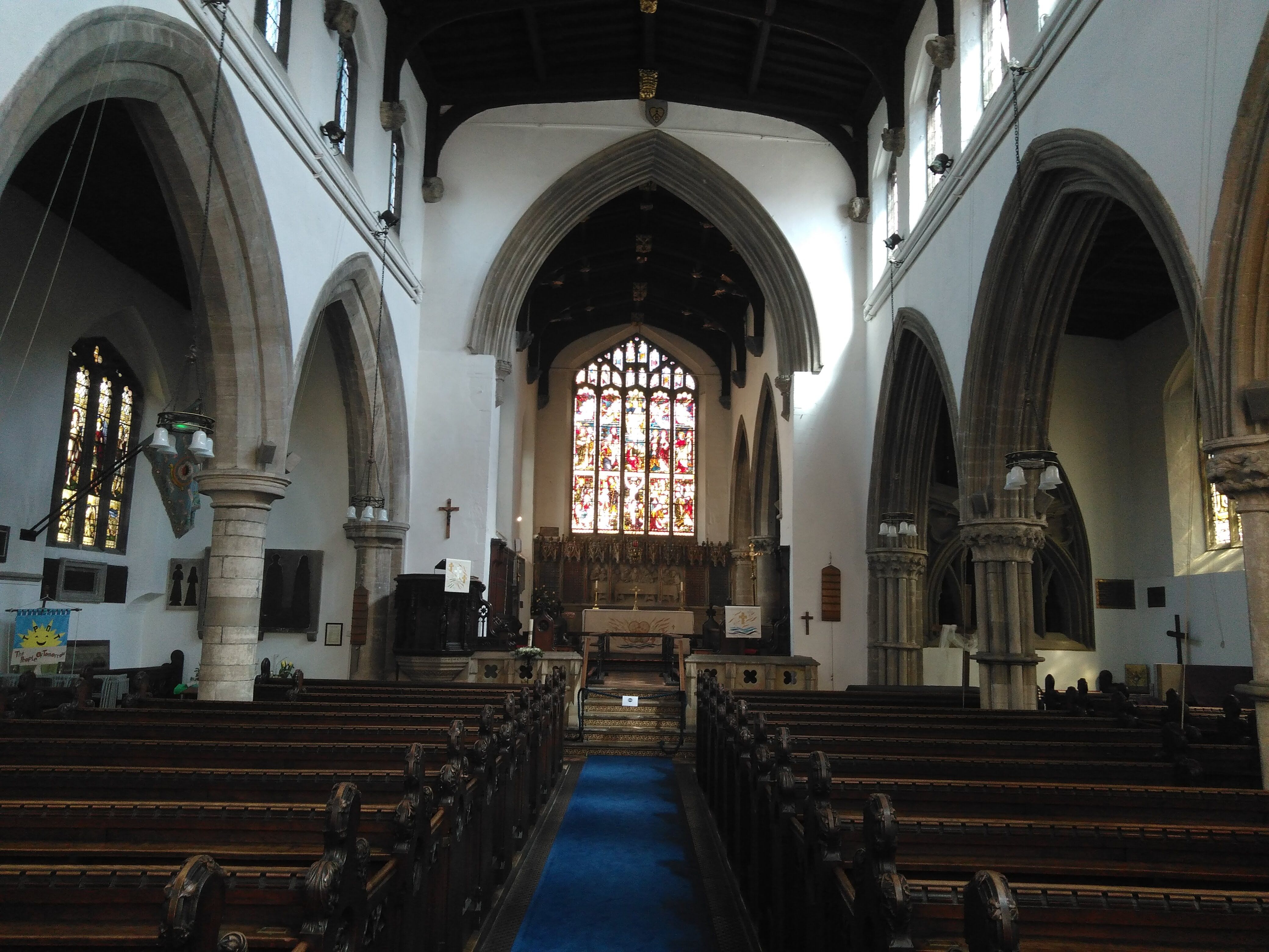
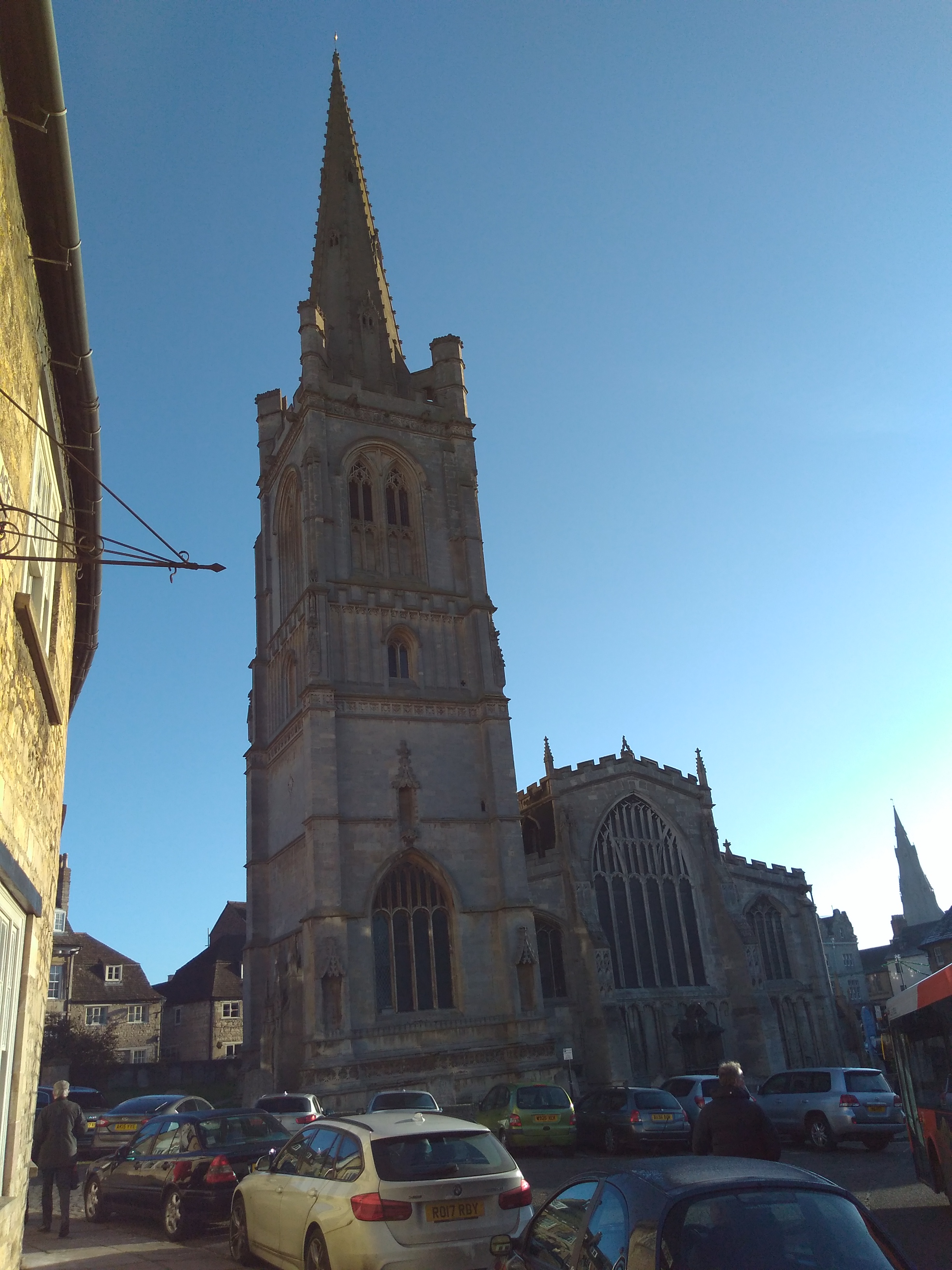
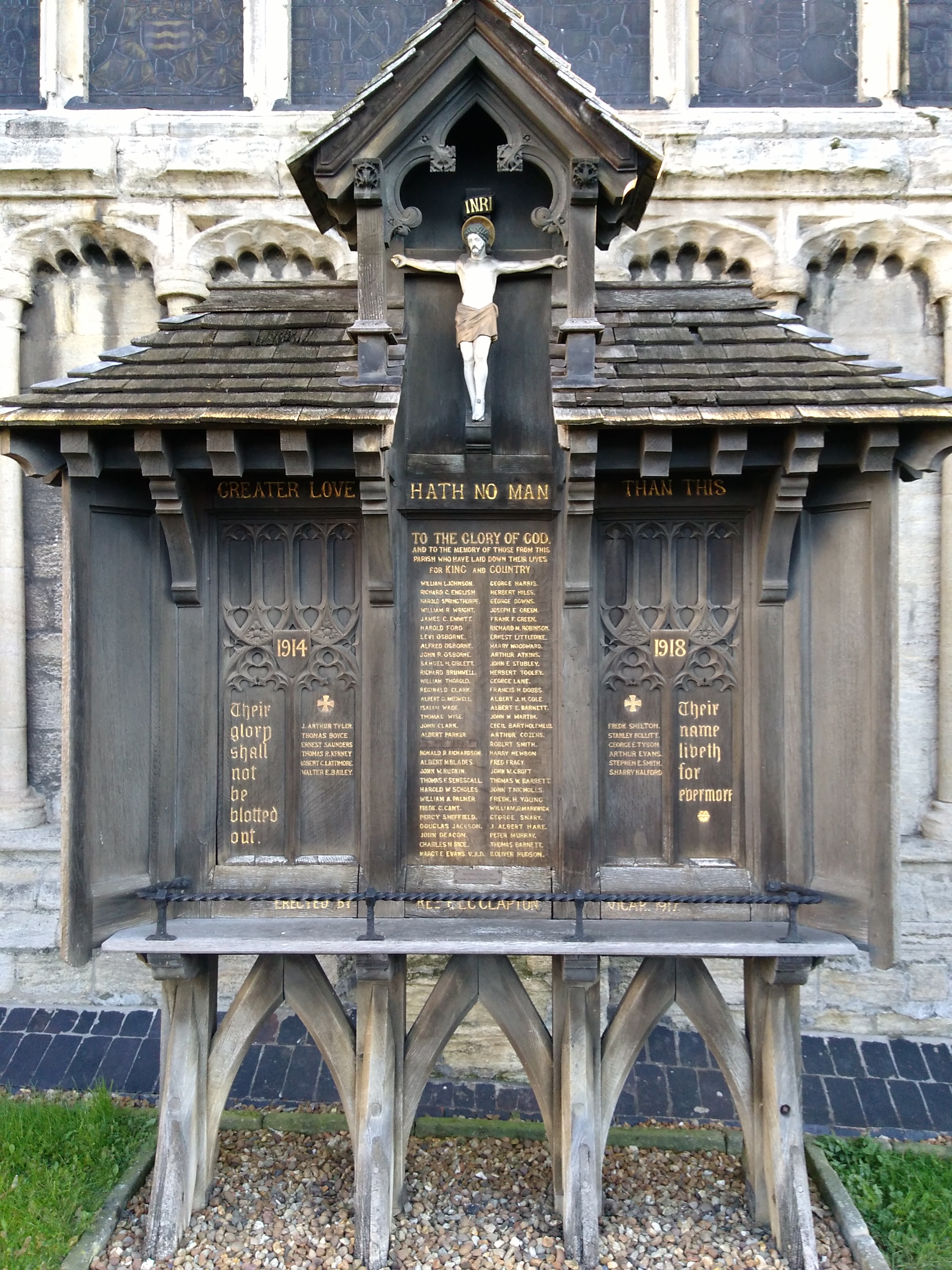
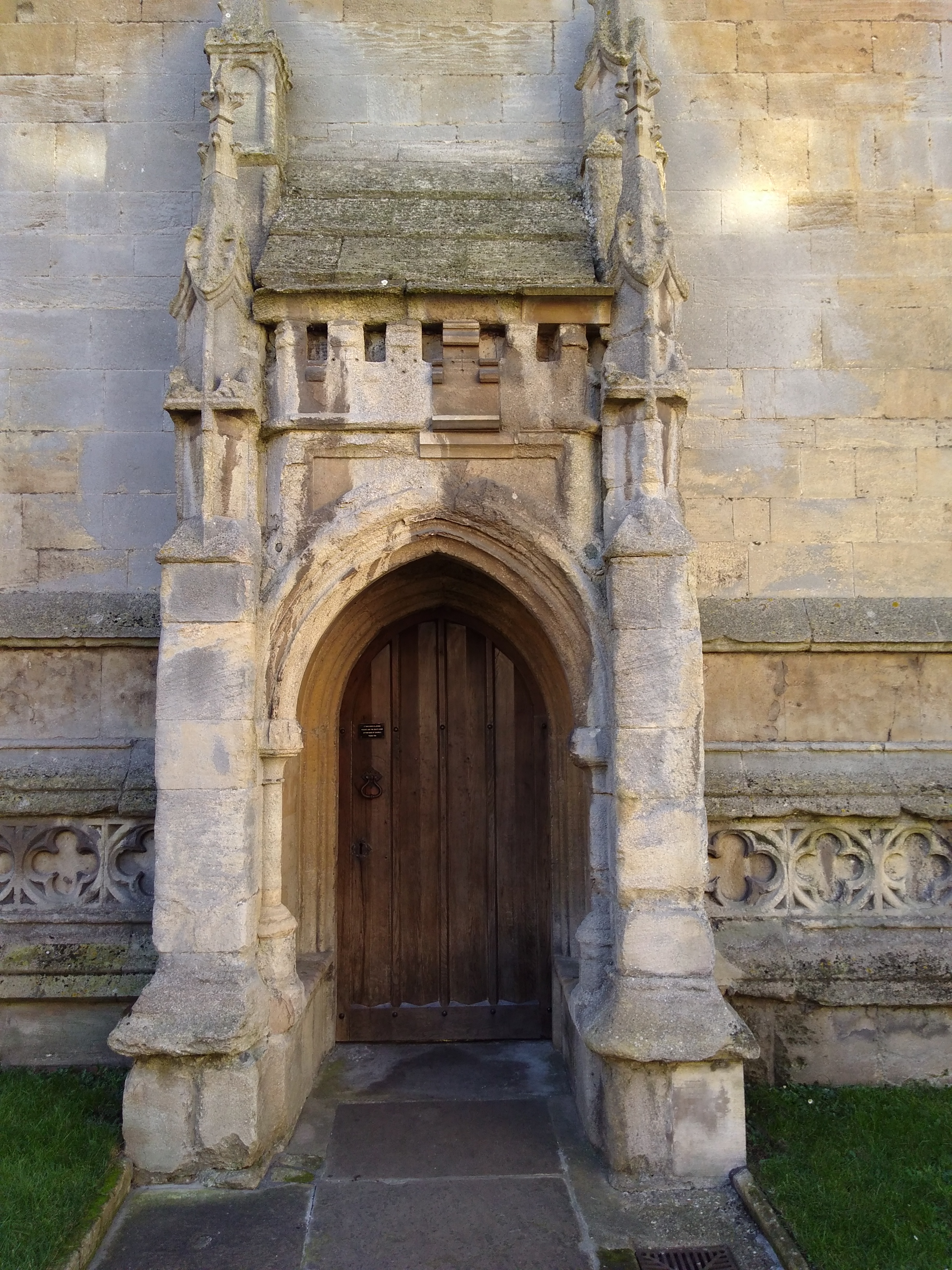
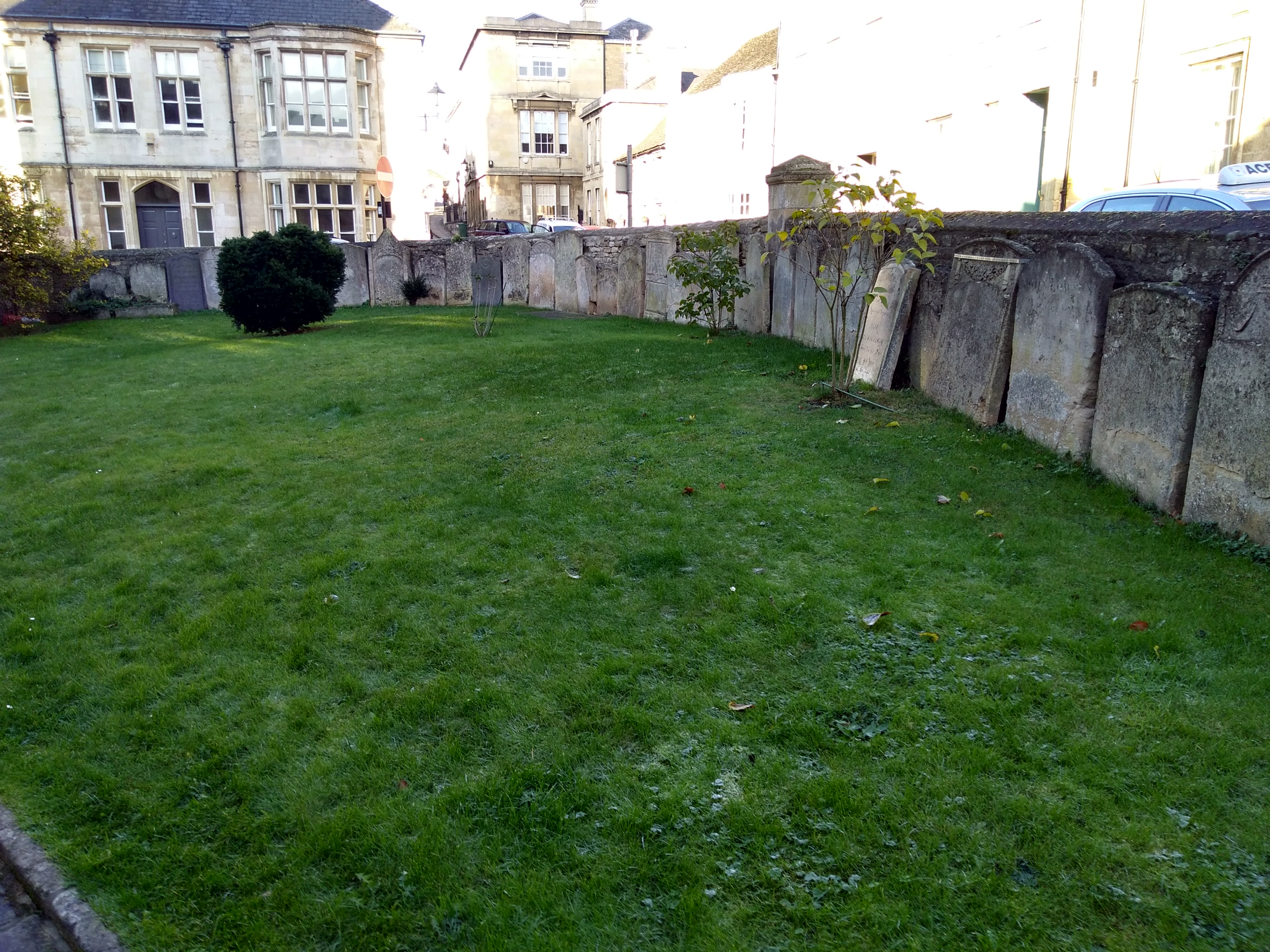
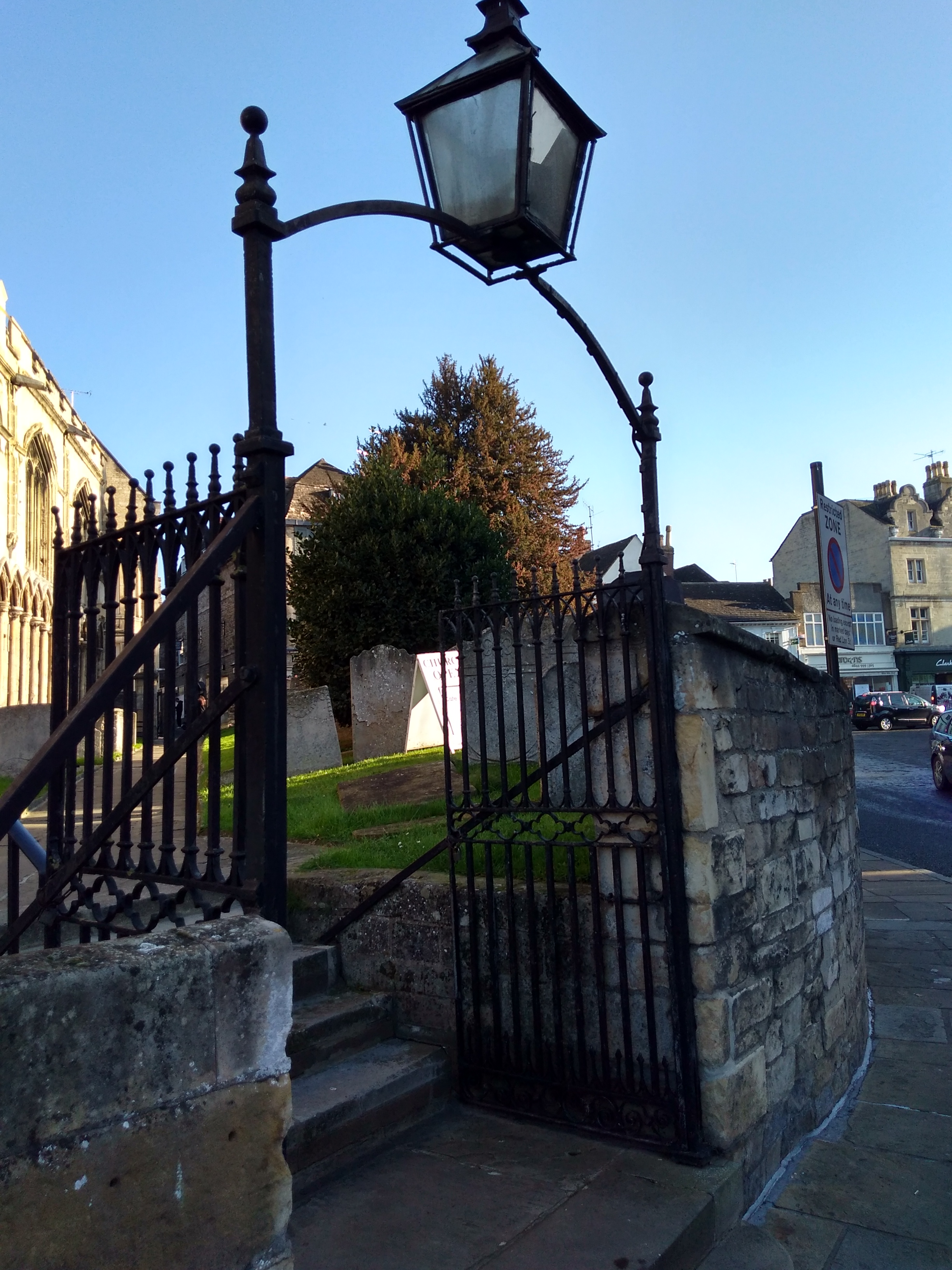
| Description | : | Located between All Saints Place and Red Lion Square. The church was first mentioned in the Domesday Book of 1086, and the burials have been stopped for many years. |
frequently asked questions (FAQ):
-
Where is All Saints Church?
All Saints Church is located at Casterton Road Stamford, South Kesteven District ,Lincolnshire , PE9 2YLEngland.
-
All Saints Church cemetery's updated grave count on graveviews.com?
114 memorials
-
Where are the coordinates of the All Saints Church?
Latitude: 52.6522610
Longitude: -0.4808400
Nearby Cemetories:
1. Saint John the Baptist Church
Stamford, South Kesteven District, England
Coordinate: 52.6517890, -0.4801320
2. St Mary's Churchyard
Stamford, South Kesteven District, England
Coordinate: 52.6514440, -0.4783930
3. St. George's Churchyard
Stamford, South Kesteven District, England
Coordinate: 52.6514110, -0.4782500
4. St. Michael's Churchyard
Stamford, South Kesteven District, England
Coordinate: 52.6524606, -0.4774019
5. St. Martin's Churchyard
Stamford, South Kesteven District, England
Coordinate: 52.6490200, -0.4773670
6. Greyfriars
Stamford, South Kesteven District, England
Coordinate: 52.6547990, -0.4697460
7. Stamford Cemetery
Stamford, South Kesteven District, England
Coordinate: 52.6564300, -0.4905600
8. Newstead Priory
Stamford, South Kesteven District, England
Coordinate: 52.6582800, -0.4542480
9. All Saints Churchyard
Tinwell, Rutland Unitary Authority, England
Coordinate: 52.6457410, -0.5144190
10. All Saints Churchyard
Easton on the Hill, East Northamptonshire Borough, England
Coordinate: 52.6309146, -0.5075823
11. All Saints Churchyard
Little Casterton, Rutland Unitary Authority, England
Coordinate: 52.6775807, -0.4965072
12. St Peter & St Paul Churchyard
Great Casterton, Rutland Unitary Authority, England
Coordinate: 52.6676700, -0.5203600
13. St Michael & All Angels Churchyard
Uffington, South Kesteven District, England
Coordinate: 52.6570400, -0.4321700
14. Ryhall Churchyard Extension
Ryhall, Rutland Unitary Authority, England
Coordinate: 52.6849000, -0.4678700
15. St John the Evangelist Churchyard
Ryhall, Rutland Unitary Authority, England
Coordinate: 52.6852000, -0.4685000
16. St Peter's Churchyard
Tickencote, Rutland Unitary Authority, England
Coordinate: 52.6741278, -0.5365826
17. St. Andrew's Churchyard
Collyweston, East Northamptonshire Borough, England
Coordinate: 52.6151719, -0.5303754
18. Barnack Bainton Road Cemetery
Barnack, Peterborough Unitary Authority, England
Coordinate: 52.6350291, -0.4069986
19. St. John the Baptist Churchyard
Barnack, Peterborough Unitary Authority, England
Coordinate: 52.6324997, -0.4068000
20. Ketton St Mary the Virgin Churchyard
Ketton, Rutland Unitary Authority, England
Coordinate: 52.6274671, -0.5509559
21. Collyweston Cemetery
Collyweston, East Northamptonshire Borough, England
Coordinate: 52.6115580, -0.5319430
22. All Saints Churchyard
Wittering, Peterborough Unitary Authority, England
Coordinate: 52.6058600, -0.4421600
23. St Mary Magdalene Churchyard
Essendine, Rutland Unitary Authority, England
Coordinate: 52.7026000, -0.4489000
24. Ketton Park Burial Ground
Ketton, Rutland Unitary Authority, England
Coordinate: 52.6240570, -0.5604330