
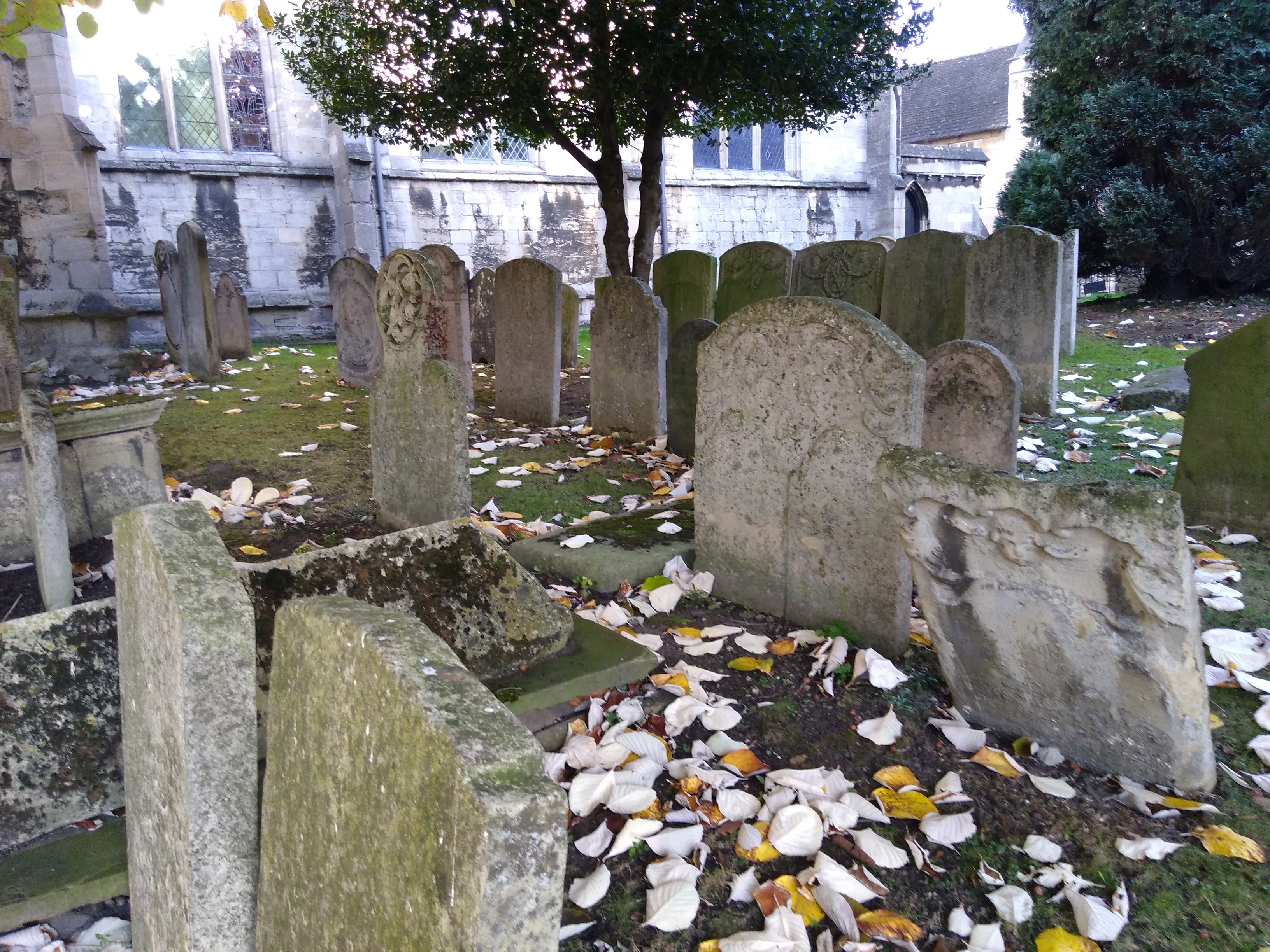
| Memorials | : | 51 |
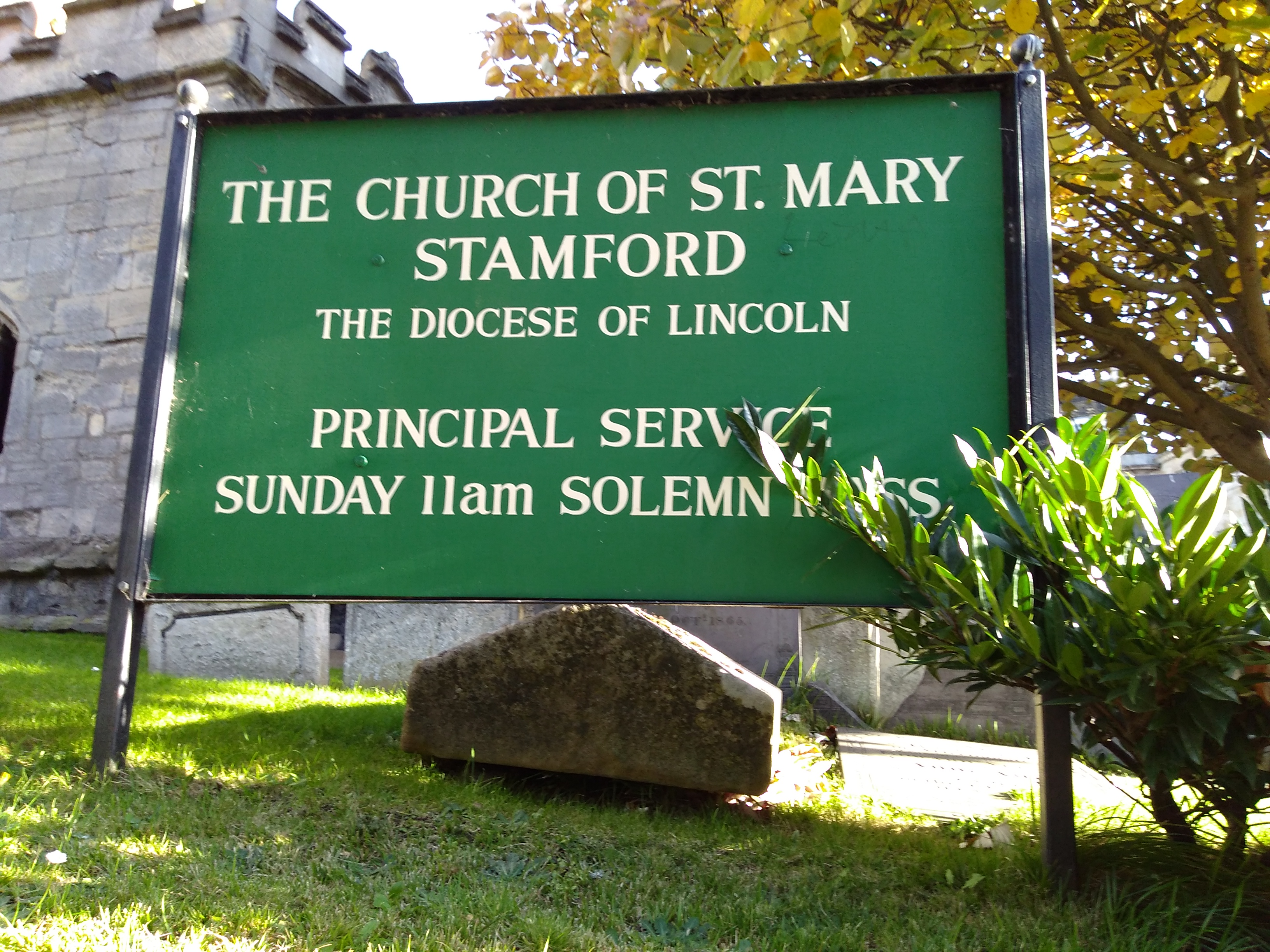
| Location | : | Stamford, South Kesteven District, England |
| Coordinate | : | 52.6514440, -0.4783930 |
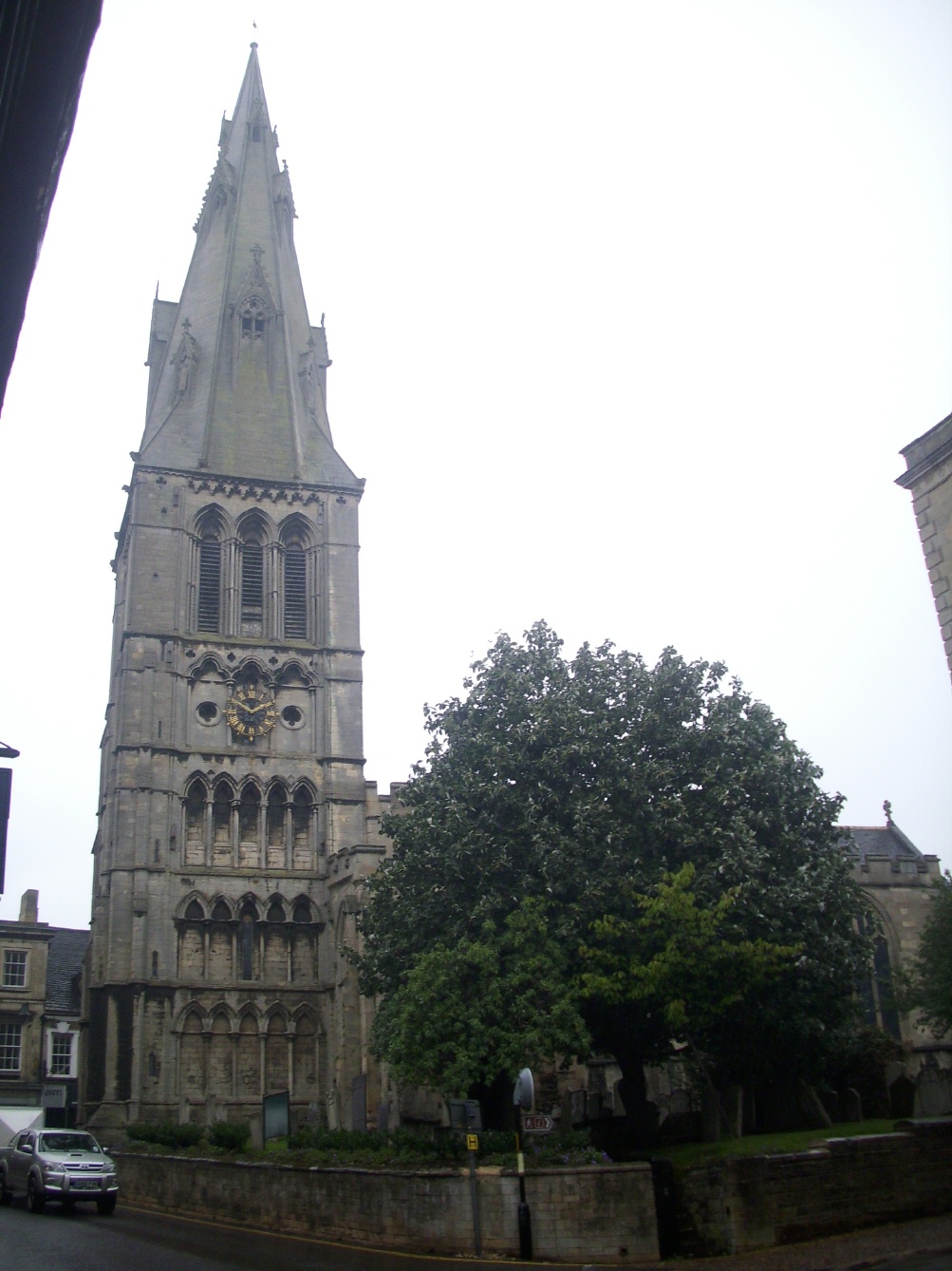
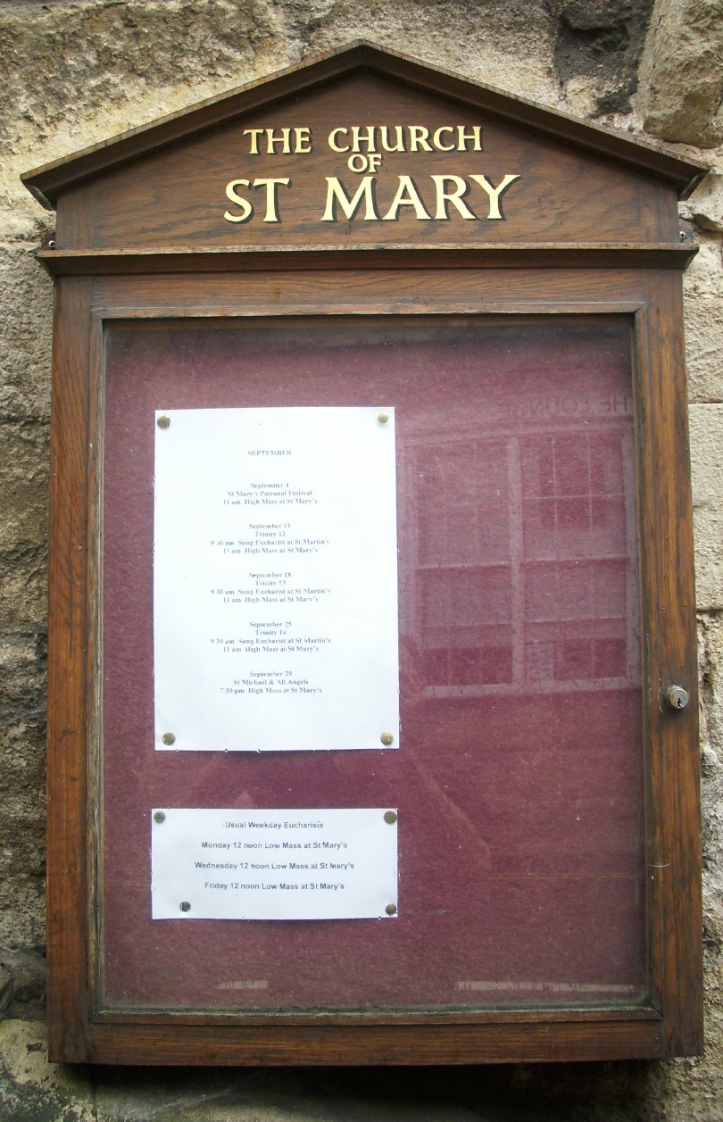
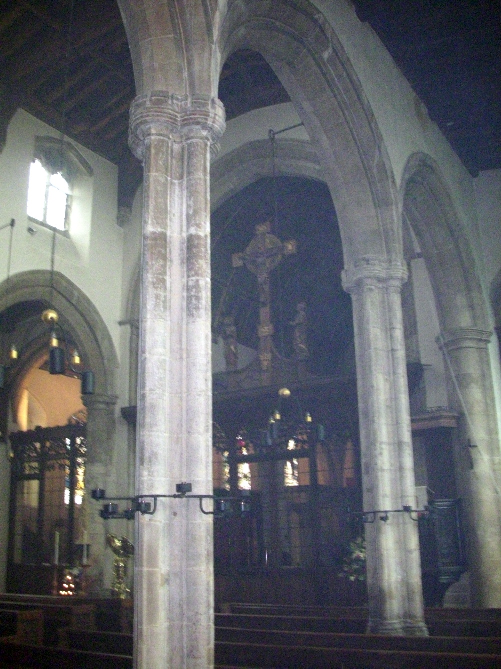
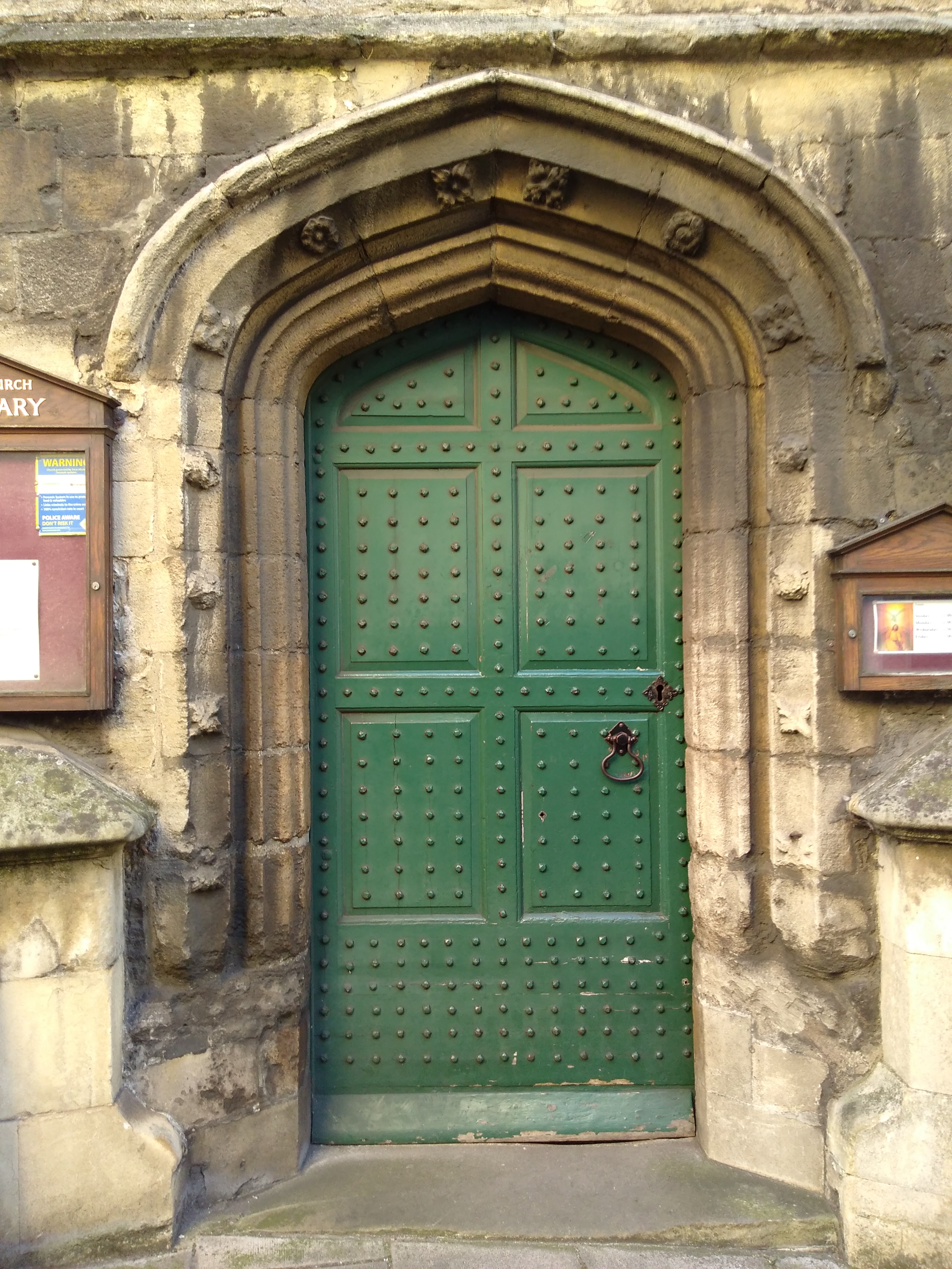
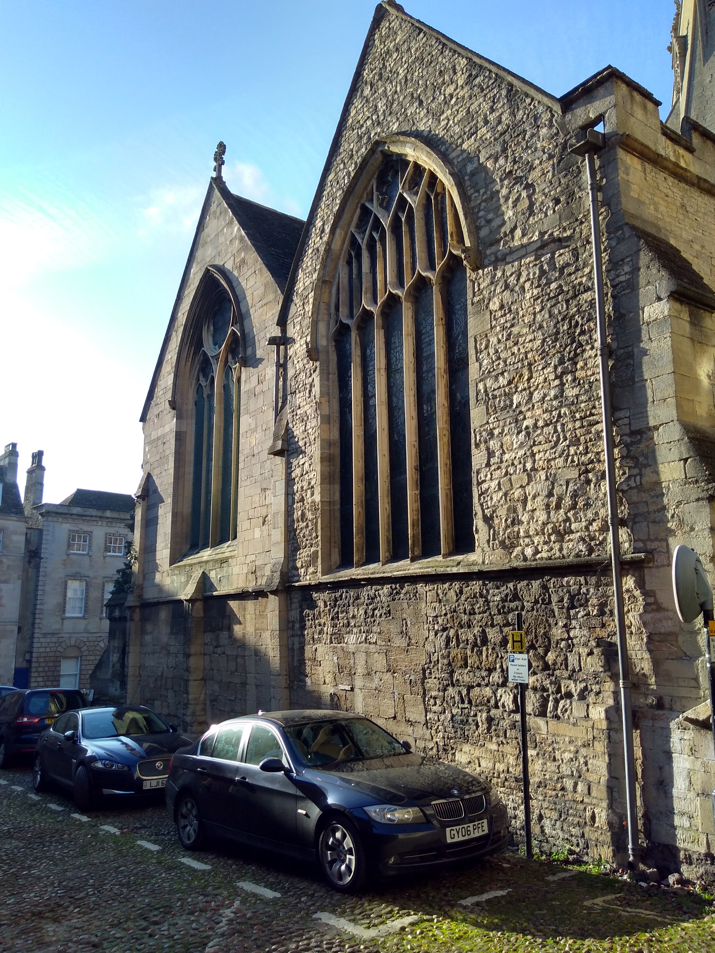
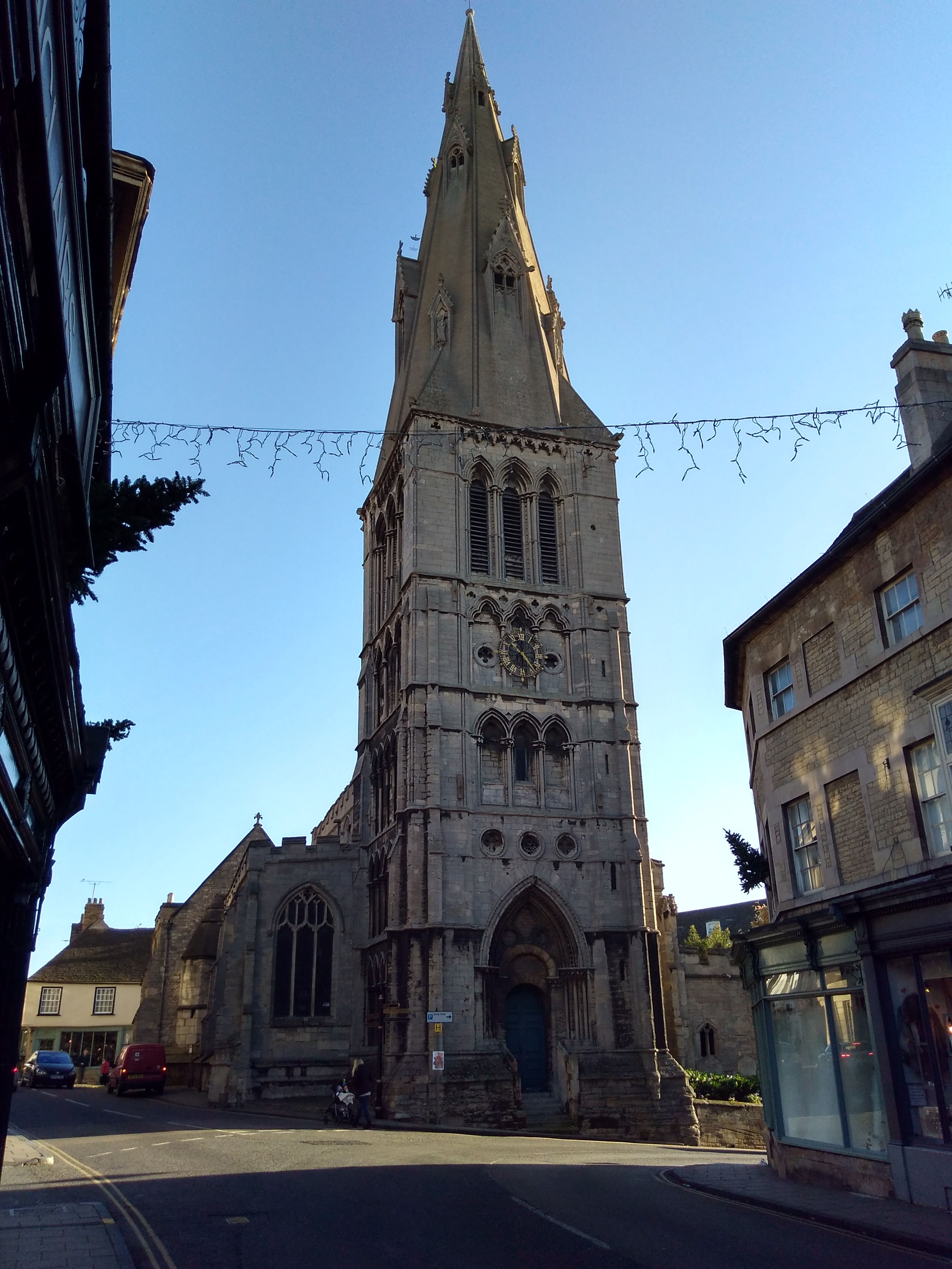
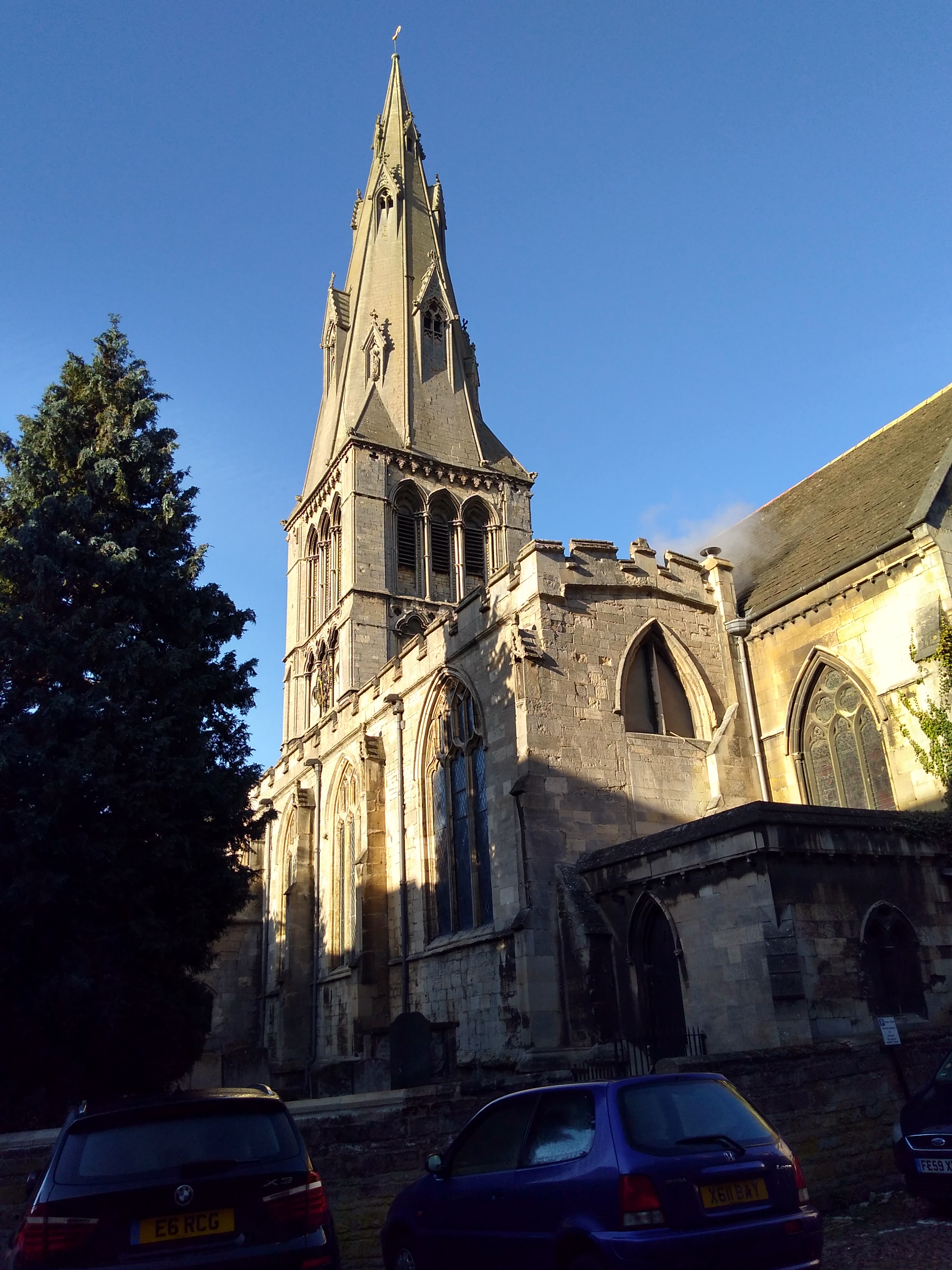
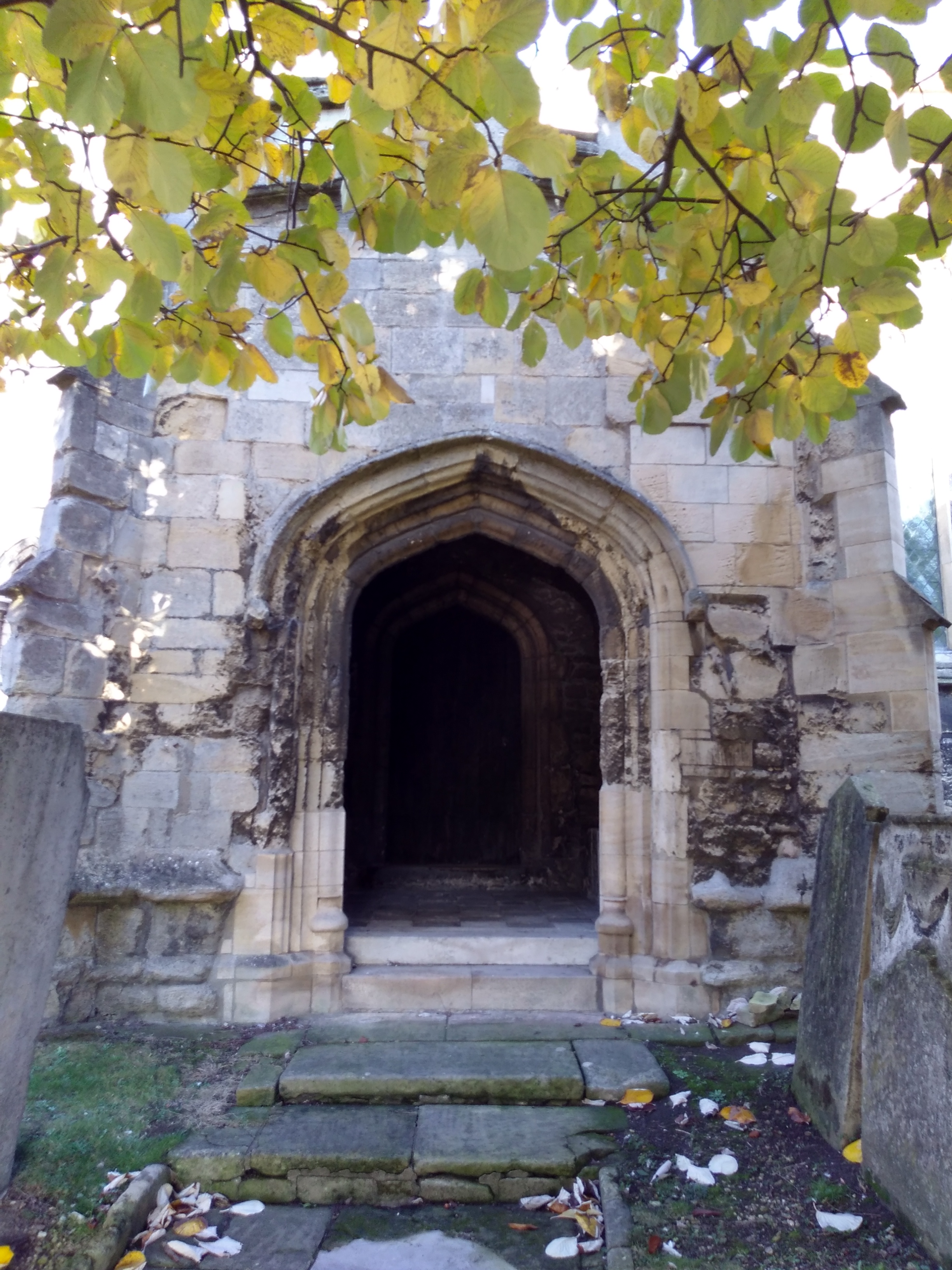
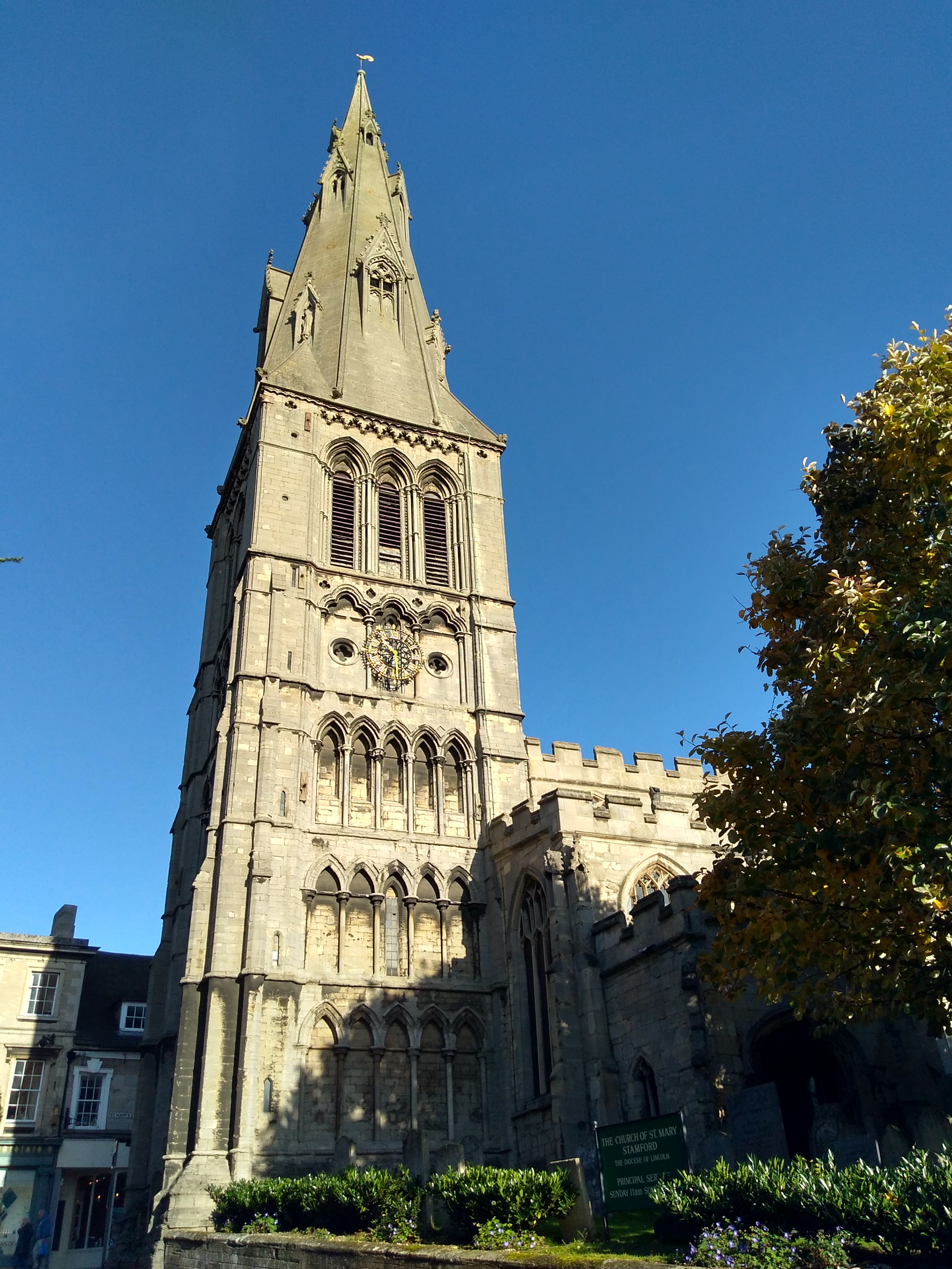
| Description | : | Known locally as the Mother Church of Stamford, built in the 13th century atop a previous St Mary's Church. The tower was built about 1220, and the spire added in the 1300's. In old records the church has been called “The church of our Ladye of Staunford”, and “St Maries by the bridge”. |
frequently asked questions (FAQ):
-
Where is St Mary's Churchyard?
St Mary's Churchyard is located at Saint Mary's Street / St Mary's Hill Stamford, South Kesteven District ,Lincolnshire , PE9 2DLEngland.
-
St Mary's Churchyard cemetery's updated grave count on graveviews.com?
51 memorials
-
Where are the coordinates of the St Mary's Churchyard?
Latitude: 52.6514440
Longitude: -0.4783930
Nearby Cemetories:
1. St. George's Churchyard
Stamford, South Kesteven District, England
Coordinate: 52.6514110, -0.4782500
2. Saint John the Baptist Church
Stamford, South Kesteven District, England
Coordinate: 52.6517890, -0.4801320
3. St. Michael's Churchyard
Stamford, South Kesteven District, England
Coordinate: 52.6524606, -0.4774019
4. All Saints Church
Stamford, South Kesteven District, England
Coordinate: 52.6522610, -0.4808400
5. St. Martin's Churchyard
Stamford, South Kesteven District, England
Coordinate: 52.6490200, -0.4773670
6. Greyfriars
Stamford, South Kesteven District, England
Coordinate: 52.6547990, -0.4697460
7. Stamford Cemetery
Stamford, South Kesteven District, England
Coordinate: 52.6564300, -0.4905600
8. Newstead Priory
Stamford, South Kesteven District, England
Coordinate: 52.6582800, -0.4542480
9. All Saints Churchyard
Tinwell, Rutland Unitary Authority, England
Coordinate: 52.6457410, -0.5144190
10. All Saints Churchyard
Easton on the Hill, East Northamptonshire Borough, England
Coordinate: 52.6309146, -0.5075823
11. All Saints Churchyard
Little Casterton, Rutland Unitary Authority, England
Coordinate: 52.6775807, -0.4965072
12. St Michael & All Angels Churchyard
Uffington, South Kesteven District, England
Coordinate: 52.6570400, -0.4321700
13. St Peter & St Paul Churchyard
Great Casterton, Rutland Unitary Authority, England
Coordinate: 52.6676700, -0.5203600
14. Ryhall Churchyard Extension
Ryhall, Rutland Unitary Authority, England
Coordinate: 52.6849000, -0.4678700
15. St John the Evangelist Churchyard
Ryhall, Rutland Unitary Authority, England
Coordinate: 52.6852000, -0.4685000
16. St Peter's Churchyard
Tickencote, Rutland Unitary Authority, England
Coordinate: 52.6741278, -0.5365826
17. Barnack Bainton Road Cemetery
Barnack, Peterborough Unitary Authority, England
Coordinate: 52.6350291, -0.4069986
18. St. John the Baptist Churchyard
Barnack, Peterborough Unitary Authority, England
Coordinate: 52.6324997, -0.4068000
19. St. Andrew's Churchyard
Collyweston, East Northamptonshire Borough, England
Coordinate: 52.6151719, -0.5303754
20. Ketton St Mary the Virgin Churchyard
Ketton, Rutland Unitary Authority, England
Coordinate: 52.6274671, -0.5509559
21. All Saints Churchyard
Wittering, Peterborough Unitary Authority, England
Coordinate: 52.6058600, -0.4421600
22. Collyweston Cemetery
Collyweston, East Northamptonshire Borough, England
Coordinate: 52.6115580, -0.5319430
23. St Mary Magdalene Churchyard
Essendine, Rutland Unitary Authority, England
Coordinate: 52.7026000, -0.4489000
24. St. Lawrence's Churchyard
Tallington, South Kesteven District, England
Coordinate: 52.6574520, -0.3879120