
| Memorials | : | 0 |
| Location | : | Ryhall, Rutland Unitary Authority, England |
| Website | : | www.rec-churches.com/ryhall-with-belmesthorpe.html |
| Coordinate | : | 52.6852000, -0.4685000 |
frequently asked questions (FAQ):
-
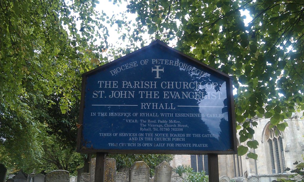
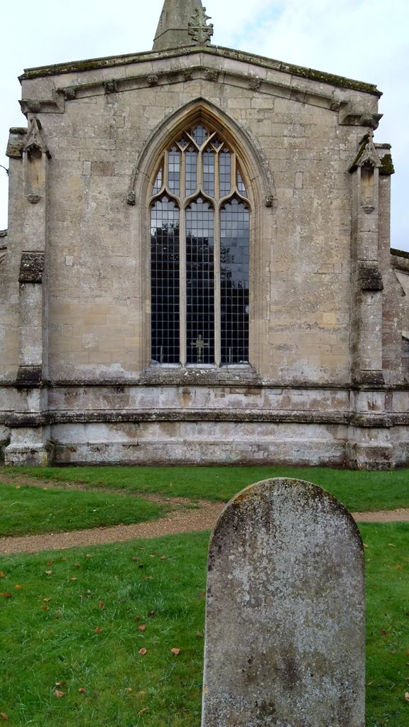
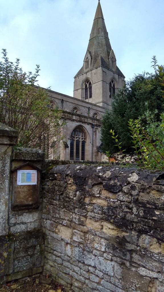
Where is St John the Evangelist Churchyard?
St John the Evangelist Churchyard is located at Church Street Ryhall, Rutland Unitary Authority ,Rutland , PE9 4HREngland.
-
St John the Evangelist Churchyard cemetery's updated grave count on graveviews.com?
0 memorials
-
Where are the coordinates of the St John the Evangelist Churchyard?
Latitude: 52.6852000
Longitude: -0.4685000
Nearby Cemetories:
1. Ryhall Churchyard Extension
Ryhall, Rutland Unitary Authority, England
Coordinate: 52.6849000, -0.4678700
2. All Saints Churchyard
Little Casterton, Rutland Unitary Authority, England
Coordinate: 52.6775807, -0.4965072
3. St Mary Magdalene Churchyard
Essendine, Rutland Unitary Authority, England
Coordinate: 52.7026000, -0.4489000
4. Newstead Priory
Stamford, South Kesteven District, England
Coordinate: 52.6582800, -0.4542480
5. Saint Stephen
Carlby, South Kesteven District, England
Coordinate: 52.7125650, -0.4475800
6. Greyfriars
Stamford, South Kesteven District, England
Coordinate: 52.6547990, -0.4697460
7. Stamford Cemetery
Stamford, South Kesteven District, England
Coordinate: 52.6564300, -0.4905600
8. St. Michael's Churchyard
Stamford, South Kesteven District, England
Coordinate: 52.6524606, -0.4774019
9. All Saints Church
Stamford, South Kesteven District, England
Coordinate: 52.6522610, -0.4808400
10. Saint John the Baptist Church
Stamford, South Kesteven District, England
Coordinate: 52.6517890, -0.4801320
11. St Mary's Churchyard
Stamford, South Kesteven District, England
Coordinate: 52.6514440, -0.4783930
12. St. George's Churchyard
Stamford, South Kesteven District, England
Coordinate: 52.6514110, -0.4782500
13. St Michael & All Angels Churchyard
Uffington, South Kesteven District, England
Coordinate: 52.6570400, -0.4321700
14. St Peter & St Paul Churchyard
Great Casterton, Rutland Unitary Authority, England
Coordinate: 52.6676700, -0.5203600
15. St. Martin's Churchyard
Stamford, South Kesteven District, England
Coordinate: 52.6490200, -0.4773670
16. St Peter's Churchyard
Tickencote, Rutland Unitary Authority, England
Coordinate: 52.6741278, -0.5365826
17. All Saints Churchyard
Tinwell, Rutland Unitary Authority, England
Coordinate: 52.6457410, -0.5144190
18. St Martin Churchyard
Barholm, South Kesteven District, England
Coordinate: 52.6855000, -0.3887600
19. St Stephen Churchyard
Careby, South Kesteven District, England
Coordinate: 52.7363500, -0.4823700
20. St. Andrews Churchyard
Witham on the Hill, South Kesteven District, England
Coordinate: 52.7364500, -0.4420300
21. St Wilfrid
Holywell, South Kesteven District, England
Coordinate: 52.7329915, -0.5149881
22. St. Lawrence's Churchyard
Tallington, South Kesteven District, England
Coordinate: 52.6574520, -0.3879120
23. St Faith Churchyard
Wilsthorpe, South Kesteven District, England
Coordinate: 52.7095208, -0.3848166
24. All Saints Churchyard
Easton on the Hill, East Northamptonshire Borough, England
Coordinate: 52.6309146, -0.5075823