
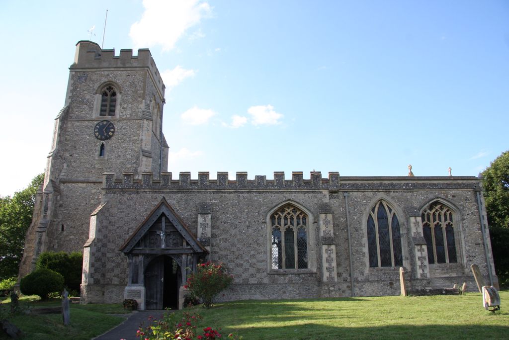
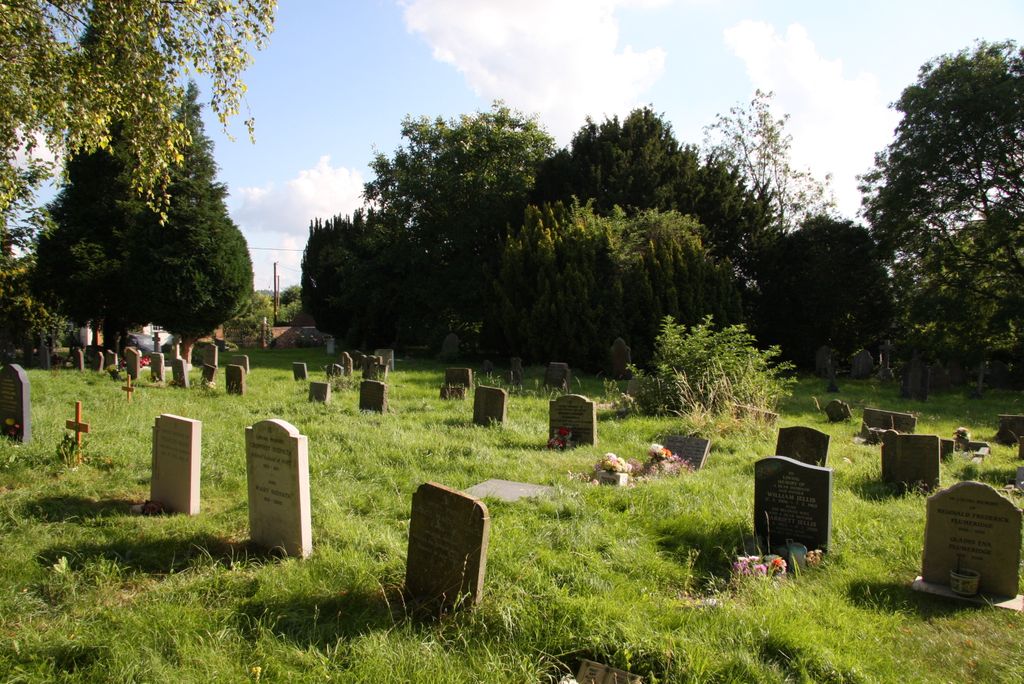
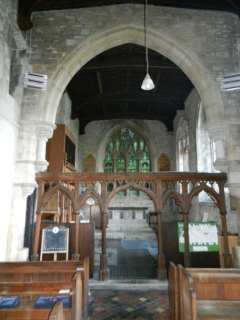
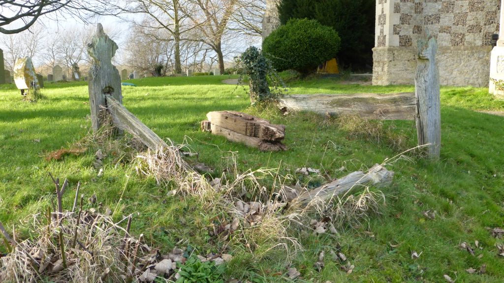
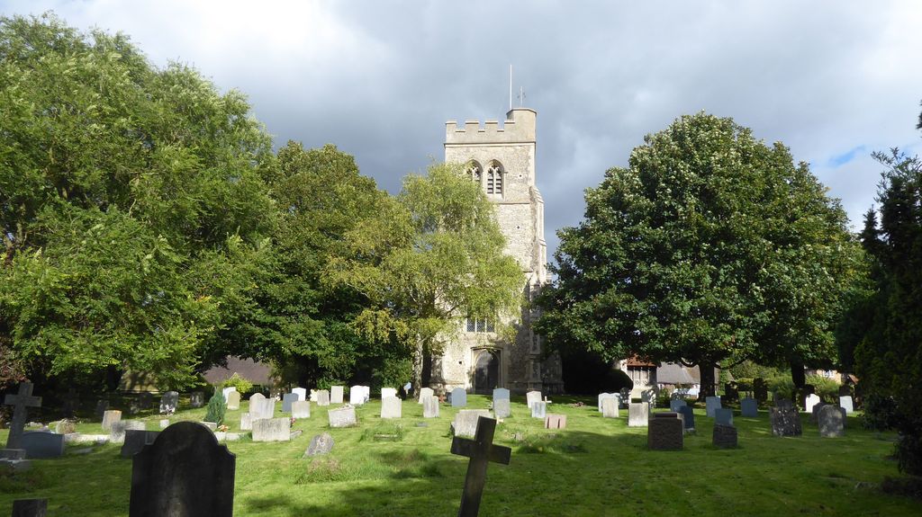
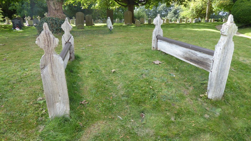
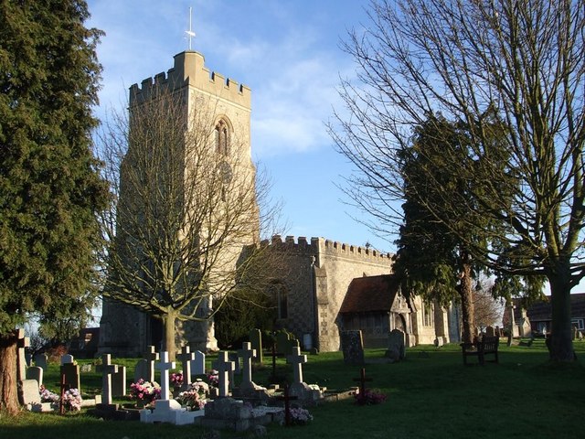
| Memorials | : | 1 |
| Location | : | Marsworth, Aylesbury Vale District, England |
| Coordinate | : | 51.9219473, -0.6359566 |
frequently asked questions (FAQ):
-
Where is All Saints Churchyard?
All Saints Churchyard is located at Church Lane and Vicarage Road Marsworth, Aylesbury Vale District ,Buckinghamshire , HP23 4LXEngland.
-
All Saints Churchyard cemetery's updated grave count on graveviews.com?
1 memorials
-
Where are the coordinates of the All Saints Churchyard?
Latitude: 51.9219473
Longitude: -0.6359566

Nearby Cemetories:
1. St. John The Baptist Churchyard
Stanbridge, Central Bedfordshire Unitary Authority, England
Coordinate: 51.9219541, -0.6359898
2. Vandyke Road Cemetery
Leighton Buzzard, Central Bedfordshire Unitary Authority, England
Coordinate: 51.9237190, -0.6503660
3. Leighton Buzzard Friends Meeting House
Leighton Buzzard, Central Bedfordshire Unitary Authority, England
Coordinate: 51.9181543, -0.6608307
4. Lake Street Baptist Chapel
Leighton Buzzard, Central Bedfordshire Unitary Authority, England
Coordinate: 51.9148400, -0.6593400
5. St Michael Churchyard
Eggington, Central Bedfordshire Unitary Authority, England
Coordinate: 51.9168460, -0.6103740
6. All Saints Churchyard
Leighton Buzzard, Central Bedfordshire Unitary Authority, England
Coordinate: 51.9148010, -0.6651860
7. Heath and Reach Cemetery
Heath and Reach, Central Bedfordshire Unitary Authority, England
Coordinate: 51.9405100, -0.6557170
8. St. Nicholas Churchyard
Hockliffe, Central Bedfordshire Unitary Authority, England
Coordinate: 51.9328680, -0.5964160
9. St. Mary's Churchyard
Leighton Linslade, Central Bedfordshire Unitary Authority, England
Coordinate: 51.9324420, -0.6776870
10. St. Michael and All Angels Churchyard
Billington, Central Bedfordshire Unitary Authority, England
Coordinate: 51.8936510, -0.6347710
11. Old Linslade Cemetery
Leighton Linslade, Central Bedfordshire Unitary Authority, England
Coordinate: 51.9319962, -0.6794293
12. St Michael and all Angels Churchyard
Grove, Central Bedfordshire Unitary Authority, England
Coordinate: 51.8931000, -0.6628500
13. All Saints Churchyard
Tilsworth, Central Bedfordshire Unitary Authority, England
Coordinate: 51.9083138, -0.5837350
14. St Peter and All Saints Churchyard
Battlesden, Central Bedfordshire Unitary Authority, England
Coordinate: 51.9520610, -0.6059540
15. St Mary Churchyard
Potsgrove, Central Bedfordshire Unitary Authority, England
Coordinate: 51.9589970, -0.6166510
16. Holy Cross
Slapton, Aylesbury Vale District, England
Coordinate: 51.8768800, -0.6401000
17. All Saints Churchyard
Soulbury, Aylesbury Vale District, England
Coordinate: 51.9347636, -0.7181225
18. St. Peter Churchyard
Milton Bryan, Central Bedfordshire Unitary Authority, England
Coordinate: 51.9671660, -0.5879490
19. Great Brickhill Baptist Chapel
Great Brickhill, Aylesbury Vale District, England
Coordinate: 51.9666820, -0.6892350
20. Great Brickhill Cemetery
Great Brickhill, Aylesbury Vale District, England
Coordinate: 51.9667550, -0.6894140
21. Great Brickhill Churchyard Extension
Great Brickhill, Aylesbury Vale District, England
Coordinate: 51.9670890, -0.6898000
22. St Mary Churchyard
Great Brickhill, Aylesbury Vale District, England
Coordinate: 51.9682720, -0.6896390
23. All Saints Churchyard
Wing, Aylesbury Vale District, England
Coordinate: 51.8945984, -0.7227797
24. St Giles of Provence churchyard
Totternhoe, Central Bedfordshire Unitary Authority, England
Coordinate: 51.8778108, -0.5656137