
| Memorials | : | 0 |
| Location | : | Heath and Reach, Central Bedfordshire Unitary Authority, England |
| Coordinate | : | 51.9405100, -0.6557170 |
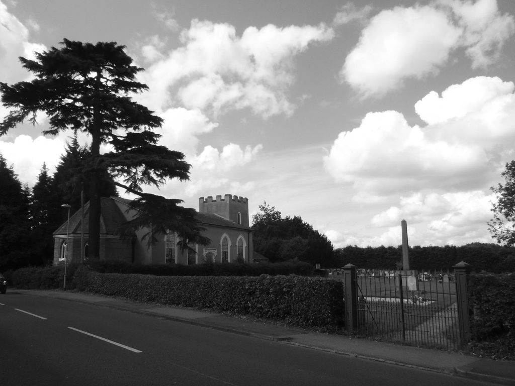
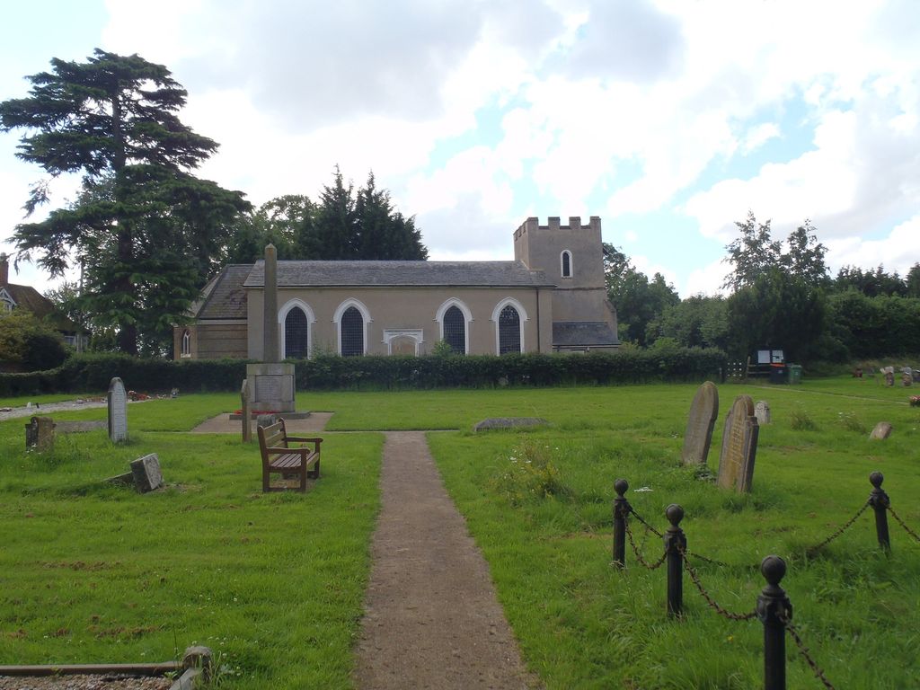
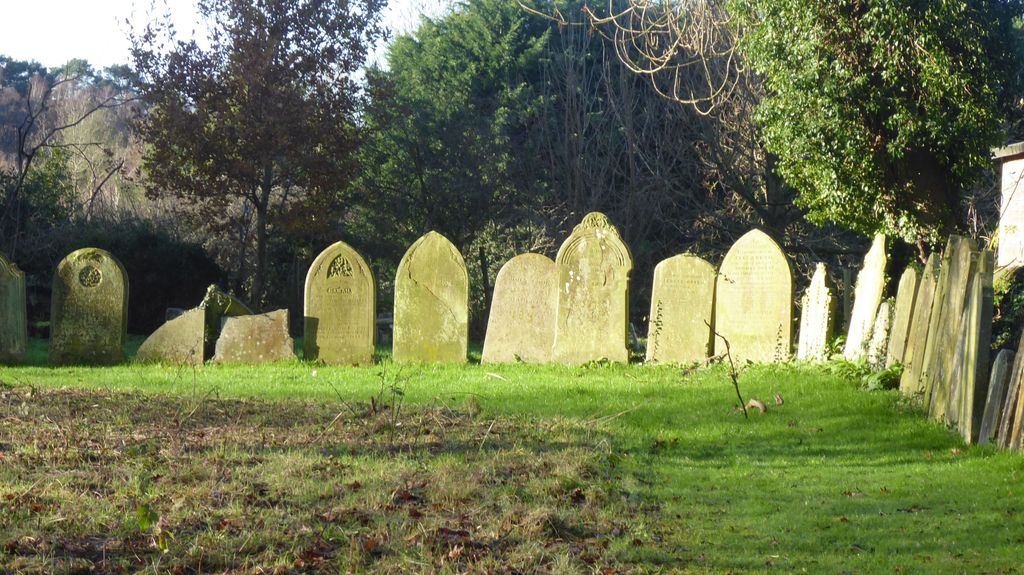
| Description | : | Heath and Reach is a village and civil parish near the Chiltern Hills in Bedfordshire. It is about two miles north of Leighton Buzzard and three miles south of Woburn and adjoins the county boundary with Buckinghamshire. The cemetery was laid out in 1913, and belongs to the Parish Council; it adjoins the Church Cemetery and the Churchyard which are also the responsibility of Heath & Reach Parish Council. |
frequently asked questions (FAQ):
-
Where is Heath and Reach Cemetery?
Heath and Reach Cemetery is located at Heath and Reach, Central Bedfordshire Unitary Authority ,Bedfordshire ,England.
-
Heath and Reach Cemetery cemetery's updated grave count on graveviews.com?
0 memorials
-
Where are the coordinates of the Heath and Reach Cemetery?
Latitude: 51.9405100
Longitude: -0.6557170
Nearby Cemetories:
1. St. Mary's Churchyard
Leighton Linslade, Central Bedfordshire Unitary Authority, England
Coordinate: 51.9324420, -0.6776870
2. Old Linslade Cemetery
Leighton Linslade, Central Bedfordshire Unitary Authority, England
Coordinate: 51.9319962, -0.6794293
3. Vandyke Road Cemetery
Leighton Buzzard, Central Bedfordshire Unitary Authority, England
Coordinate: 51.9237190, -0.6503660
4. St. John The Baptist Churchyard
Stanbridge, Central Bedfordshire Unitary Authority, England
Coordinate: 51.9219541, -0.6359898
5. All Saints Churchyard
Marsworth, Aylesbury Vale District, England
Coordinate: 51.9219473, -0.6359566
6. Leighton Buzzard Friends Meeting House
Leighton Buzzard, Central Bedfordshire Unitary Authority, England
Coordinate: 51.9181543, -0.6608307
7. Lake Street Baptist Chapel
Leighton Buzzard, Central Bedfordshire Unitary Authority, England
Coordinate: 51.9148400, -0.6593400
8. All Saints Churchyard
Leighton Buzzard, Central Bedfordshire Unitary Authority, England
Coordinate: 51.9148010, -0.6651860
9. St Mary Churchyard
Potsgrove, Central Bedfordshire Unitary Authority, England
Coordinate: 51.9589970, -0.6166510
10. St Peter and All Saints Churchyard
Battlesden, Central Bedfordshire Unitary Authority, England
Coordinate: 51.9520610, -0.6059540
11. Great Brickhill Baptist Chapel
Great Brickhill, Aylesbury Vale District, England
Coordinate: 51.9666820, -0.6892350
12. Great Brickhill Cemetery
Great Brickhill, Aylesbury Vale District, England
Coordinate: 51.9667550, -0.6894140
13. Great Brickhill Churchyard Extension
Great Brickhill, Aylesbury Vale District, England
Coordinate: 51.9670890, -0.6898000
14. St Mary Churchyard
Great Brickhill, Aylesbury Vale District, England
Coordinate: 51.9682720, -0.6896390
15. St Michael Churchyard
Eggington, Central Bedfordshire Unitary Authority, England
Coordinate: 51.9168460, -0.6103740
16. St. Nicholas Churchyard
Hockliffe, Central Bedfordshire Unitary Authority, England
Coordinate: 51.9328680, -0.5964160
17. All Saints Churchyard
Soulbury, Aylesbury Vale District, England
Coordinate: 51.9347636, -0.7181225
18. St. Mary Magdalene Churchyard
Little Brickhill, Milton Keynes Borough, England
Coordinate: 51.9831000, -0.6763200
19. St Lukes Churchyard
Stoke Hammond, Aylesbury Vale District, England
Coordinate: 51.9594850, -0.7214330
20. St Michael and all Angels Churchyard
Grove, Central Bedfordshire Unitary Authority, England
Coordinate: 51.8931000, -0.6628500
21. St. Michael and All Angels Churchyard
Billington, Central Bedfordshire Unitary Authority, England
Coordinate: 51.8936510, -0.6347710
22. St. Peter Churchyard
Milton Bryan, Central Bedfordshire Unitary Authority, England
Coordinate: 51.9671660, -0.5879490
23. St. Mary's Churchyard
Woburn, Central Bedfordshire Unitary Authority, England
Coordinate: 51.9896000, -0.6199000
24. All Saints Churchyard
Tilsworth, Central Bedfordshire Unitary Authority, England
Coordinate: 51.9083138, -0.5837350