
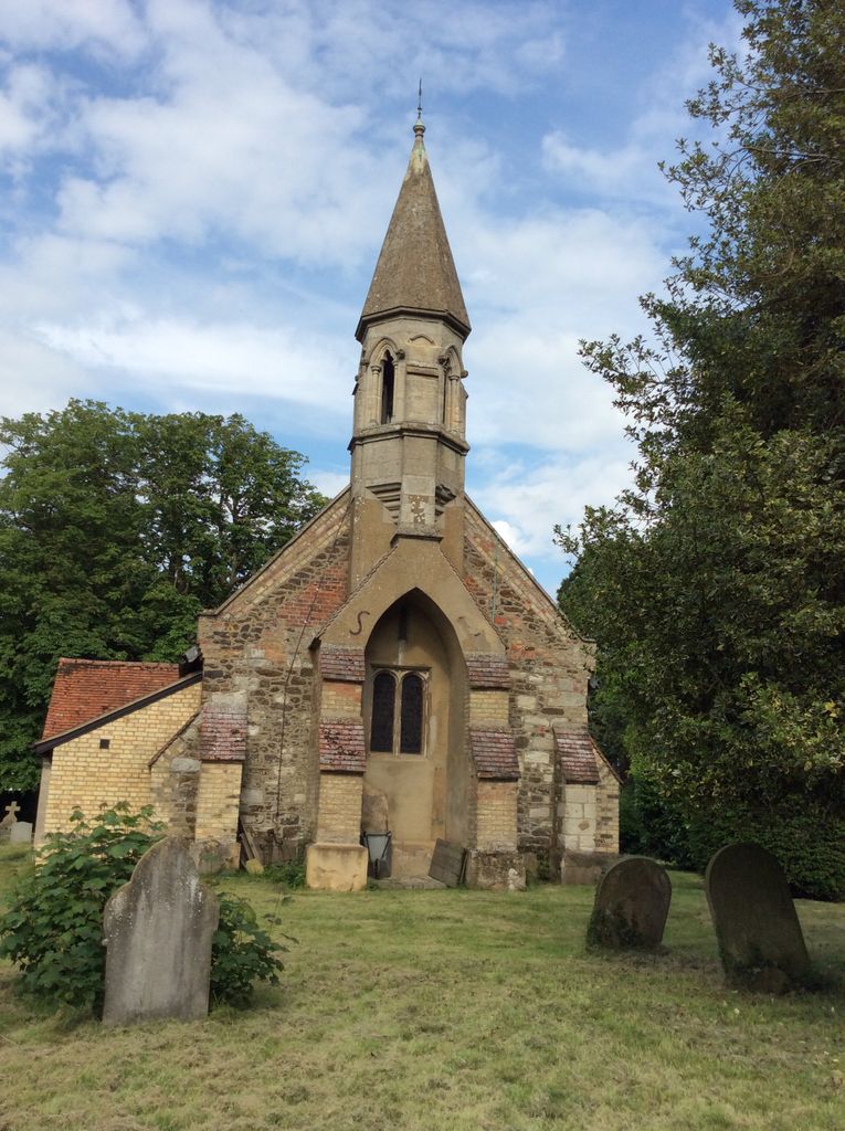
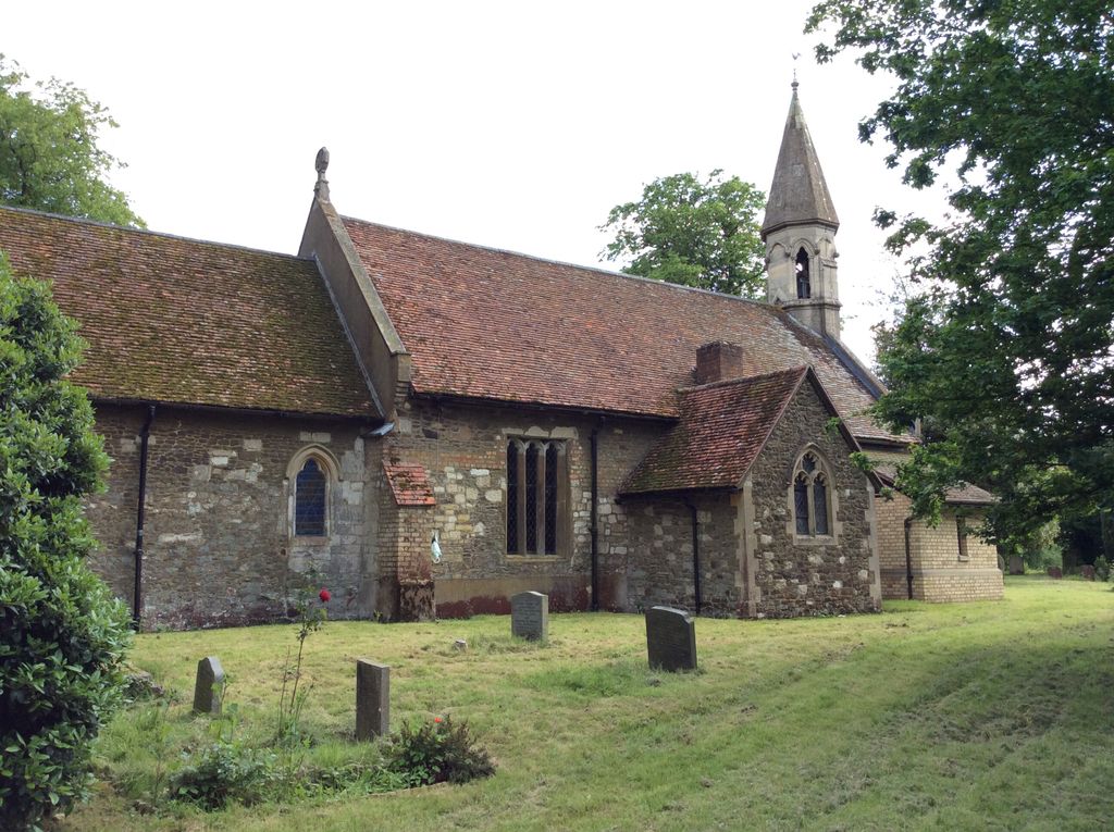
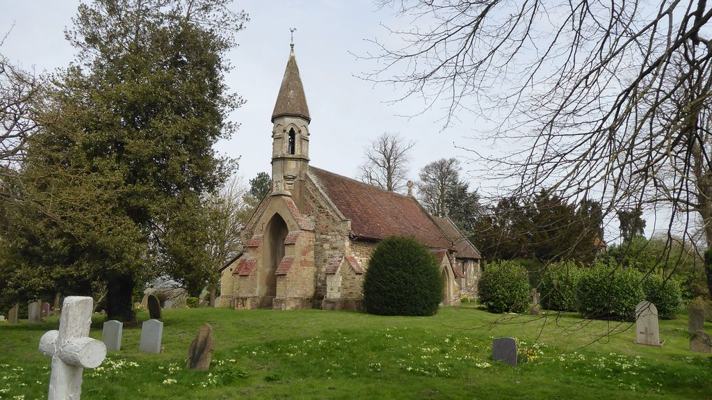
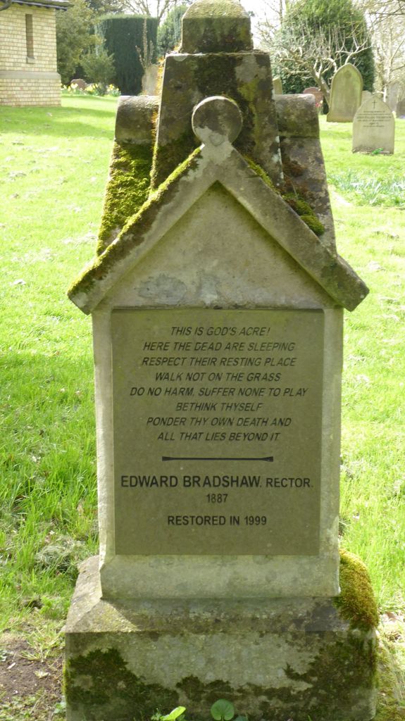
| Memorials | : | 0 |
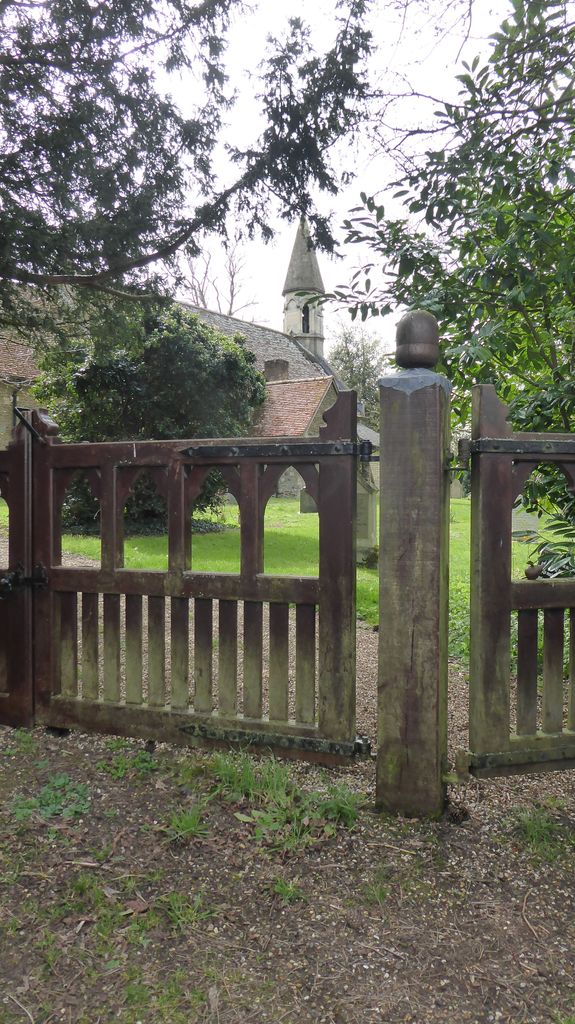
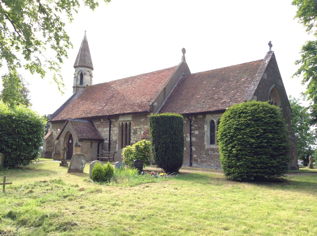
| Location | : | Billington, Central Bedfordshire Unitary Authority, England |
| Coordinate | : | 51.8936510, -0.6347710 |
frequently asked questions (FAQ):
-
Where is St. Michael and All Angels Churchyard?
St. Michael and All Angels Churchyard is located at Billington, Central Bedfordshire Unitary Authority ,Bedfordshire ,England.
-
St. Michael and All Angels Churchyard cemetery's updated grave count on graveviews.com?
0 memorials
-
Where are the coordinates of the St. Michael and All Angels Churchyard?
Latitude: 51.8936510
Longitude: -0.6347710
Nearby Cemetories:
1. Holy Cross
Slapton, Aylesbury Vale District, England
Coordinate: 51.8768800, -0.6401000
2. St Michael and all Angels Churchyard
Grove, Central Bedfordshire Unitary Authority, England
Coordinate: 51.8931000, -0.6628500
3. Lake Street Baptist Chapel
Leighton Buzzard, Central Bedfordshire Unitary Authority, England
Coordinate: 51.9148400, -0.6593400
4. St Michael Churchyard
Eggington, Central Bedfordshire Unitary Authority, England
Coordinate: 51.9168460, -0.6103740
5. All Saints Churchyard
Leighton Buzzard, Central Bedfordshire Unitary Authority, England
Coordinate: 51.9148010, -0.6651860
6. All Saints Churchyard
Marsworth, Aylesbury Vale District, England
Coordinate: 51.9219473, -0.6359566
7. St. John The Baptist Churchyard
Stanbridge, Central Bedfordshire Unitary Authority, England
Coordinate: 51.9219541, -0.6359898
8. Leighton Buzzard Friends Meeting House
Leighton Buzzard, Central Bedfordshire Unitary Authority, England
Coordinate: 51.9181543, -0.6608307
9. Vandyke Road Cemetery
Leighton Buzzard, Central Bedfordshire Unitary Authority, England
Coordinate: 51.9237190, -0.6503660
10. All Saints Churchyard
Tilsworth, Central Bedfordshire Unitary Authority, England
Coordinate: 51.9083138, -0.5837350
11. St. Mary the Virgin Churchyard
Mentmore, Aylesbury Vale District, England
Coordinate: 51.8692190, -0.6887850
12. St Mary the Virgin Churchyard
Edlesborough, Aylesbury Vale District, England
Coordinate: 51.8617700, -0.5918500
13. St. Giles Churchyard
Cheddington, Aylesbury Vale District, England
Coordinate: 51.8530810, -0.6624440
14. St Giles of Provence churchyard
Totternhoe, Central Bedfordshire Unitary Authority, England
Coordinate: 51.8778108, -0.5656137
15. St Mary the Virgin Churchyard
Eaton Bray, Central Bedfordshire Unitary Authority, England
Coordinate: 51.8776980, -0.5655540
16. St. Nicholas Churchyard
Hockliffe, Central Bedfordshire Unitary Authority, England
Coordinate: 51.9328680, -0.5964160
17. St. Mary's Churchyard
Leighton Linslade, Central Bedfordshire Unitary Authority, England
Coordinate: 51.9324420, -0.6776870
18. Old Linslade Cemetery
Leighton Linslade, Central Bedfordshire Unitary Authority, England
Coordinate: 51.9319962, -0.6794293
19. Heath and Reach Cemetery
Heath and Reach, Central Bedfordshire Unitary Authority, England
Coordinate: 51.9405100, -0.6557170
20. All Saints Churchyard
Wing, Aylesbury Vale District, England
Coordinate: 51.8945984, -0.7227797
21. St Peter and All Saints Churchyard
Battlesden, Central Bedfordshire Unitary Authority, England
Coordinate: 51.9520610, -0.6059540
22. Dunstable Cemetery
Dunstable, Central Bedfordshire Unitary Authority, England
Coordinate: 51.8831062, -0.5316300
23. All Saints Churchyard
Soulbury, Aylesbury Vale District, England
Coordinate: 51.9347636, -0.7181225
24. St Mary Churchyard
Potsgrove, Central Bedfordshire Unitary Authority, England
Coordinate: 51.9589970, -0.6166510