
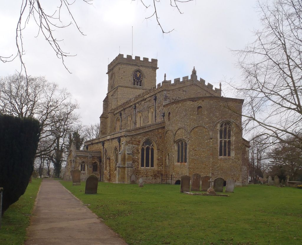
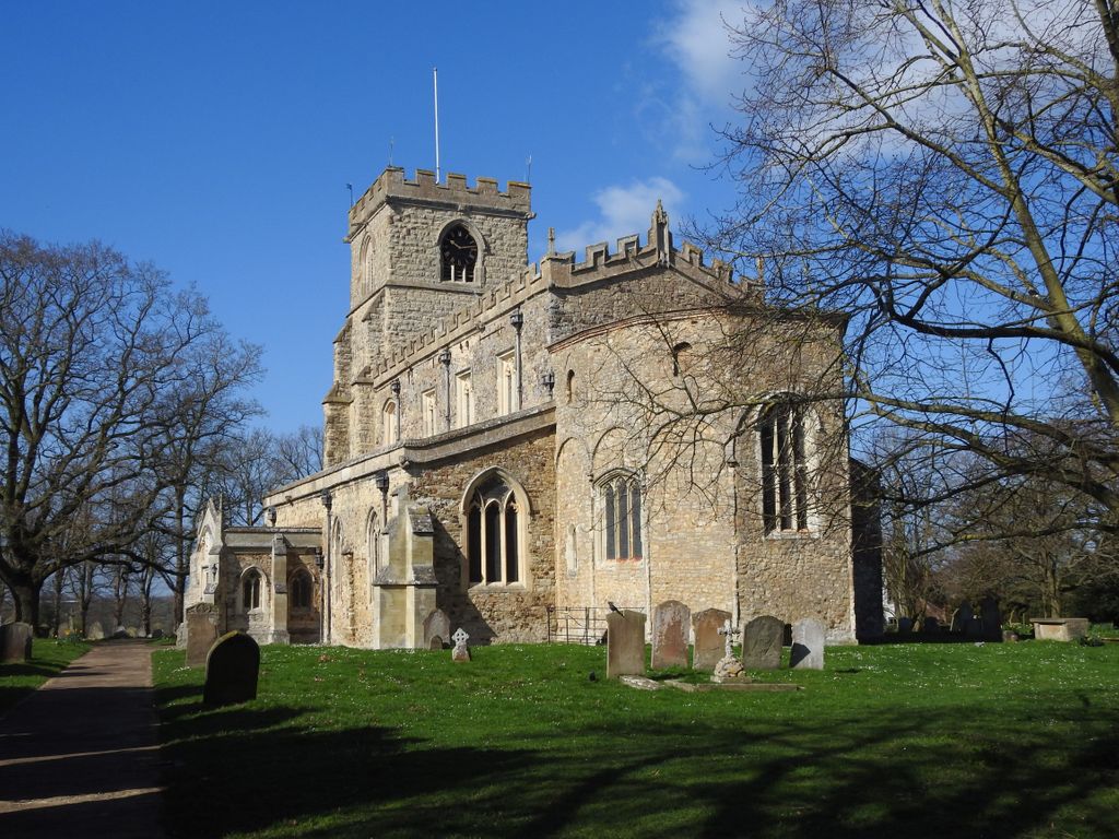
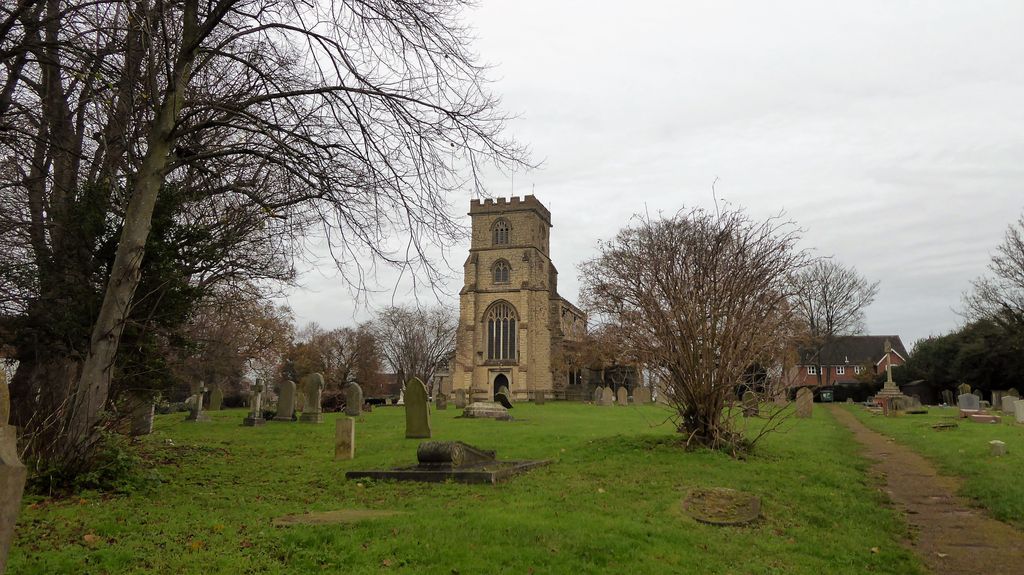
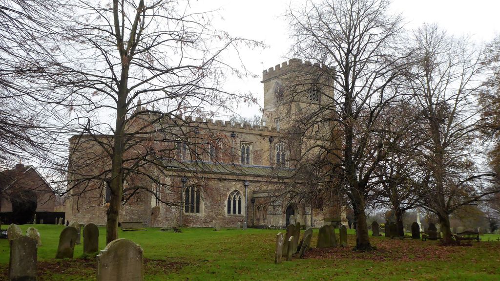
| Memorials | : | 2 |
| Location | : | Wing, Aylesbury Vale District, England |
| Coordinate | : | 51.8945984, -0.7227797 |
frequently asked questions (FAQ):
-
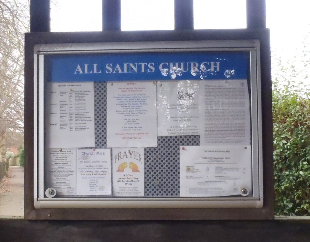
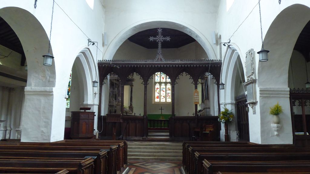
Where is All Saints Churchyard?
All Saints Churchyard is located at Wing, Aylesbury Vale District ,Buckinghamshire ,England.
-
All Saints Churchyard cemetery's updated grave count on graveviews.com?
2 memorials
-
Where are the coordinates of the All Saints Churchyard?
Latitude: 51.8945984
Longitude: -0.7227797
Nearby Cemetories:
1. St. Mary the Virgin Churchyard
Mentmore, Aylesbury Vale District, England
Coordinate: 51.8692190, -0.6887850
2. St. James the Great Churchyard
Aston Abbotts, Aylesbury Vale District, England
Coordinate: 51.8742390, -0.7706790
3. St. Nicholas' Churchyard
Cublington, Aylesbury Vale District, England
Coordinate: 51.8918828, -0.7825741
4. St Michael and all Angels Churchyard
Grove, Central Bedfordshire Unitary Authority, England
Coordinate: 51.8931000, -0.6628500
5. All Saints Churchyard
Soulbury, Aylesbury Vale District, England
Coordinate: 51.9347636, -0.7181225
6. St. Michael & All Angels Churchyard
Stewkley, Aylesbury Vale District, England
Coordinate: 51.9269300, -0.7625700
7. All Saints Churchyard
Leighton Buzzard, Central Bedfordshire Unitary Authority, England
Coordinate: 51.9148010, -0.6651860
8. Lake Street Baptist Chapel
Leighton Buzzard, Central Bedfordshire Unitary Authority, England
Coordinate: 51.9148400, -0.6593400
9. Leighton Buzzard Friends Meeting House
Leighton Buzzard, Central Bedfordshire Unitary Authority, England
Coordinate: 51.9181543, -0.6608307
10. Old Linslade Cemetery
Leighton Linslade, Central Bedfordshire Unitary Authority, England
Coordinate: 51.9319962, -0.6794293
11. St. Mary's Churchyard
Leighton Linslade, Central Bedfordshire Unitary Authority, England
Coordinate: 51.9324420, -0.6776870
12. St Martin's churchyard
Dunton, Aylesbury Vale District, England
Coordinate: 51.9117610, -0.8038370
13. Vandyke Road Cemetery
Leighton Buzzard, Central Bedfordshire Unitary Authority, England
Coordinate: 51.9237190, -0.6503660
14. Holy Cross
Slapton, Aylesbury Vale District, England
Coordinate: 51.8768800, -0.6401000
15. St. Michael and All Angels Churchyard
Billington, Central Bedfordshire Unitary Authority, England
Coordinate: 51.8936510, -0.6347710
16. St. Giles Churchyard
Cheddington, Aylesbury Vale District, England
Coordinate: 51.8530810, -0.6624440
17. All Saints Churchyard
Hulcott, Aylesbury Vale District, England
Coordinate: 51.8423500, -0.7632300
18. St. John The Baptist Churchyard
Stanbridge, Central Bedfordshire Unitary Authority, England
Coordinate: 51.9219541, -0.6359898
19. All Saints Churchyard
Marsworth, Aylesbury Vale District, England
Coordinate: 51.9219473, -0.6359566
20. Bierton Crematorium
Bierton-with-Broughton, Aylesbury Vale District, England
Coordinate: 51.8441818, -0.7803867
21. Heath and Reach Cemetery
Heath and Reach, Central Bedfordshire Unitary Authority, England
Coordinate: 51.9405100, -0.6557170
22. All Saints Churchyard
Long Marston, Dacorum Borough, England
Coordinate: 51.8340100, -0.7029500
23. St Lukes Churchyard
Stoke Hammond, Aylesbury Vale District, England
Coordinate: 51.9594850, -0.7214330
24. Holy Trinity Churchyard
Drayton Parslow, Aylesbury Vale District, England
Coordinate: 51.9508846, -0.7802638