
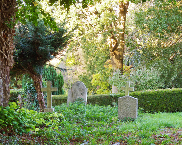
| Memorials | : | 0 |
| Location | : | Whatlington, Rother District, England |
| Coordinate | : | 50.9365900, 0.5042980 |
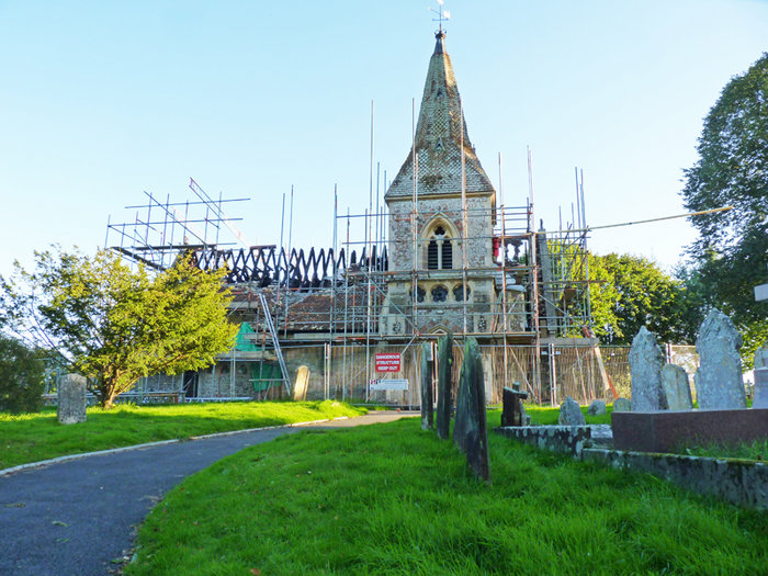
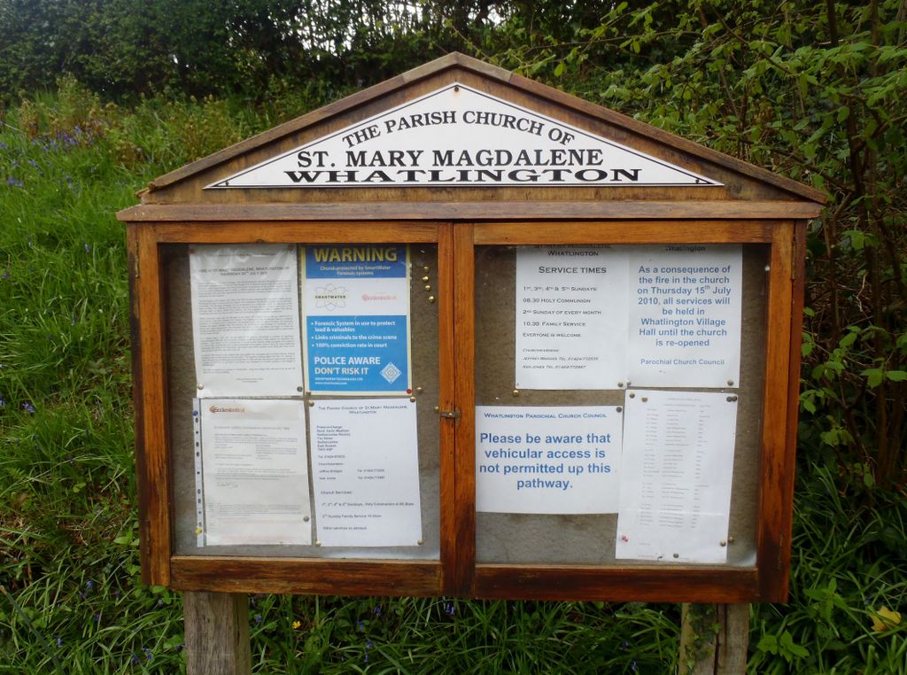
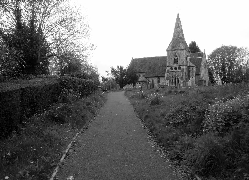
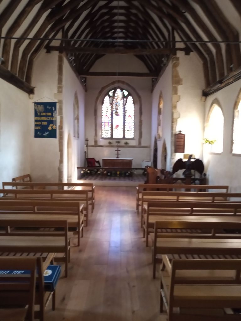
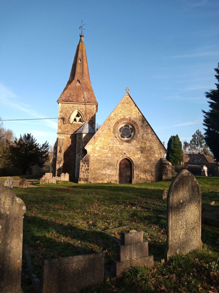
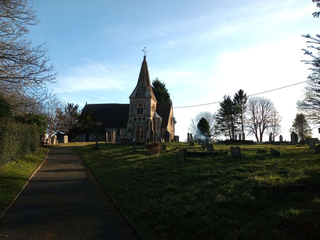
| Description | : | St Mary Magdalene,a Norman Church of England, is a 13th century two-cell church. The present church is on the site of a former Saxon Church and is dedicated to St. Mary Magdalene. It is set back from the road. The Church has an impressive east window that is thought to be of French origin. The Tower is late 12th or early 13th century, the Spire is 15th Century. Many of the stones of the Parapet consist of broken up Saxon coffins. There was extensive fire damage to the church in July 2010. According to a report in The Bexhill Observer... Read More |
frequently asked questions (FAQ):
-
Where is St Mary Magdalene Churchyard?
St Mary Magdalene Churchyard is located at Whatlington Rd Whatlington, Rother District ,East Sussex , TN33 0NEEngland.
-
St Mary Magdalene Churchyard cemetery's updated grave count on graveviews.com?
0 memorials
-
Where are the coordinates of the St Mary Magdalene Churchyard?
Latitude: 50.9365900
Longitude: 0.5042980

Nearby Cemetories:
1. St. John Baptist Anglcian Churchyard
Sedlescombe, Rother District, England
Coordinate: 50.9412440, 0.5281560
2. Battle Cemetery
Battle, Rother District, England
Coordinate: 50.9155800, 0.4935500
3. St Mary the Virgin Churchyard
Battle, Rother District, England
Coordinate: 50.9150690, 0.4883620
4. Battle Abbey
Battle, Rother District, England
Coordinate: 50.9144940, 0.4875140
5. All Saints Churchyard
Mountfield, Rother District, England
Coordinate: 50.9558449, 0.4685820
6. St John The Baptist Churchyard
Mountfield, Rother District, England
Coordinate: 50.9404170, 0.4512760
7. St John the Baptist Churchyard
Westfield, Rother District, England
Coordinate: 50.9080090, 0.5729280
8. Darvell Bruderhof Cemetery
Robertsbridge, Rother District, England
Coordinate: 50.9790497, 0.4561470
9. St. Laurence Churchyard
Catsfield, Rother District, England
Coordinate: 50.8938230, 0.4563190
10. Crowhurst Churchyard
Crowhurst, Rother District, England
Coordinate: 50.8838070, 0.4968630
11. St Mary the Virgin Churchyard
Salehurst, Rother District, England
Coordinate: 50.9910170, 0.4911260
12. St George Churchyard
Brede, Rother District, England
Coordinate: 50.9349140, 0.5963830
13. St Michael the Archangel Churchyard
Penhurst, Rother District, England
Coordinate: 50.9235920, 0.4092830
14. BroadOak Methodist Chapel
Brede, Rother District, England
Coordinate: 50.9487320, 0.6015820
15. St Theresa's Catholic Church
Northiam, Rother District, England
Coordinate: 50.9654510, 0.5958960
16. Ewhurst Green Churchyard
Ewhurst, Rother District, England
Coordinate: 50.9924300, 0.5572900
17. St. Leonard Churchyard
Hollington, Hastings Borough, England
Coordinate: 50.8743230, 0.5379840
18. St. Peter's Churchyard
Ashburnham, Rother District, England
Coordinate: 50.9056730, 0.4014650
19. St. Mary the Virgin Churchyard
Ninfield, Wealden District, England
Coordinate: 50.8848760, 0.4224590
20. St. Thomas A. Becket Churchyard
Brightling, Rother District, England
Coordinate: 50.9638440, 0.3961020
21. Saint Giles' Churchyard
Bodiam, Rother District, England
Coordinate: 51.0074800, 0.5393000
22. Hastings Cemetery and Crematorium
Hastings, Hastings Borough, England
Coordinate: 50.8805070, 0.5904080
23. Northiam Cemetery
Northiam, Rother District, England
Coordinate: 50.9926872, 0.5984631
24. Assumption of Blessed Mary & St. Nicholas Church
Etchingham, Rother District, England
Coordinate: 51.0095830, 0.4416420