
| Memorials | : | 75 |
| Location | : | Staunton (Coleford), Forest of Dean District, England |
| Coordinate | : | 51.8101900, -2.6533900 |
| Description | : | Staunton is a village in the Forest of Dean in west Gloucestershire, England. It is located 2.5 miles east of Monmouth and 2.5 miles north west of Coleford on the border of England and Wales. The main road which passes through Staunton is the A4136 road. The name Staunton comes from the Old English words Stane (as in Stane Street) and Tun meaning 'stony farmstead' or settlement. Stane also refers to six other significant and notable stones that lie within the parish including a rocky outcrop, called the Frog or Toad's Mouth at the west end of the village. The... Read More |
frequently asked questions (FAQ):
-
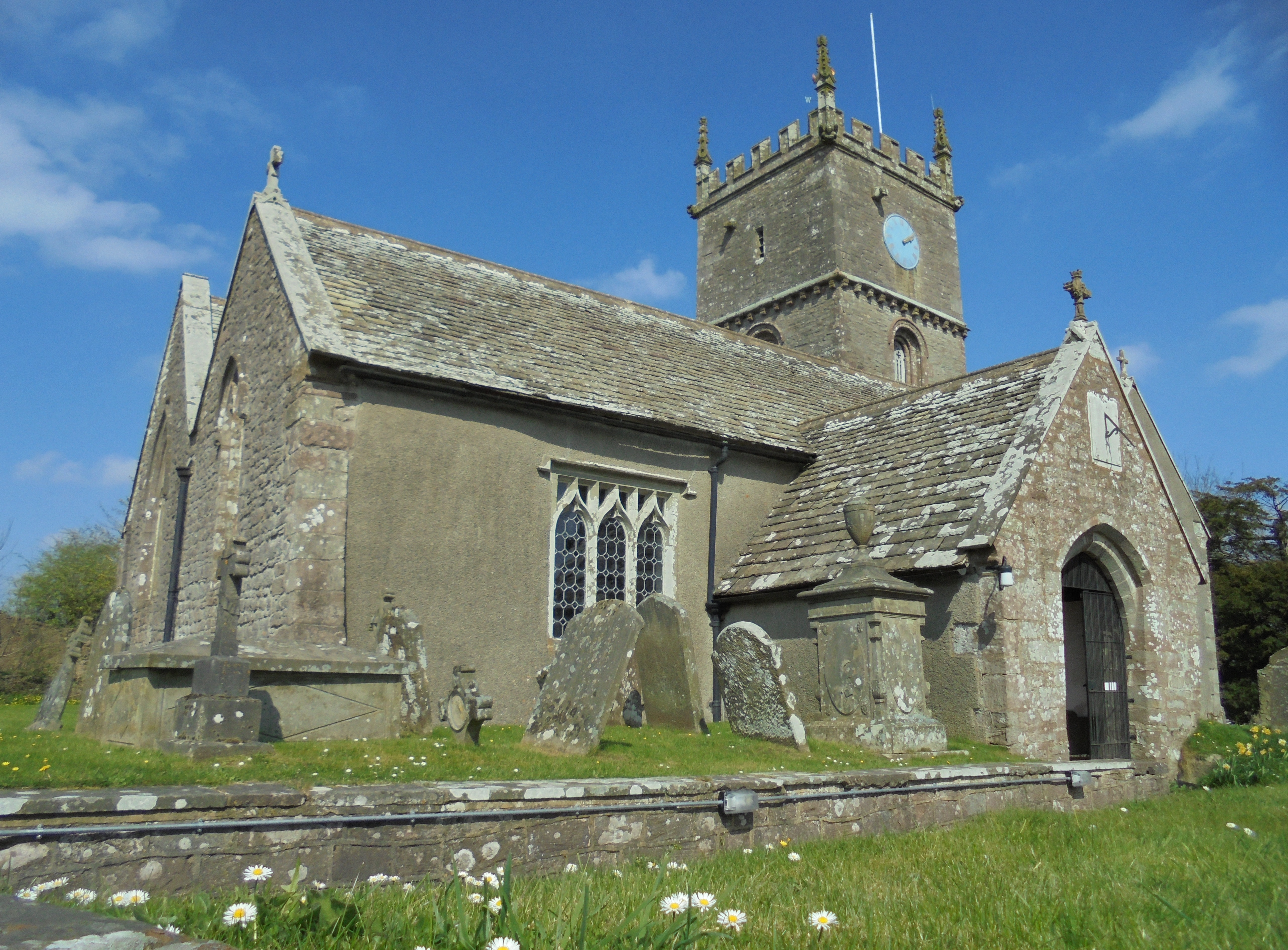
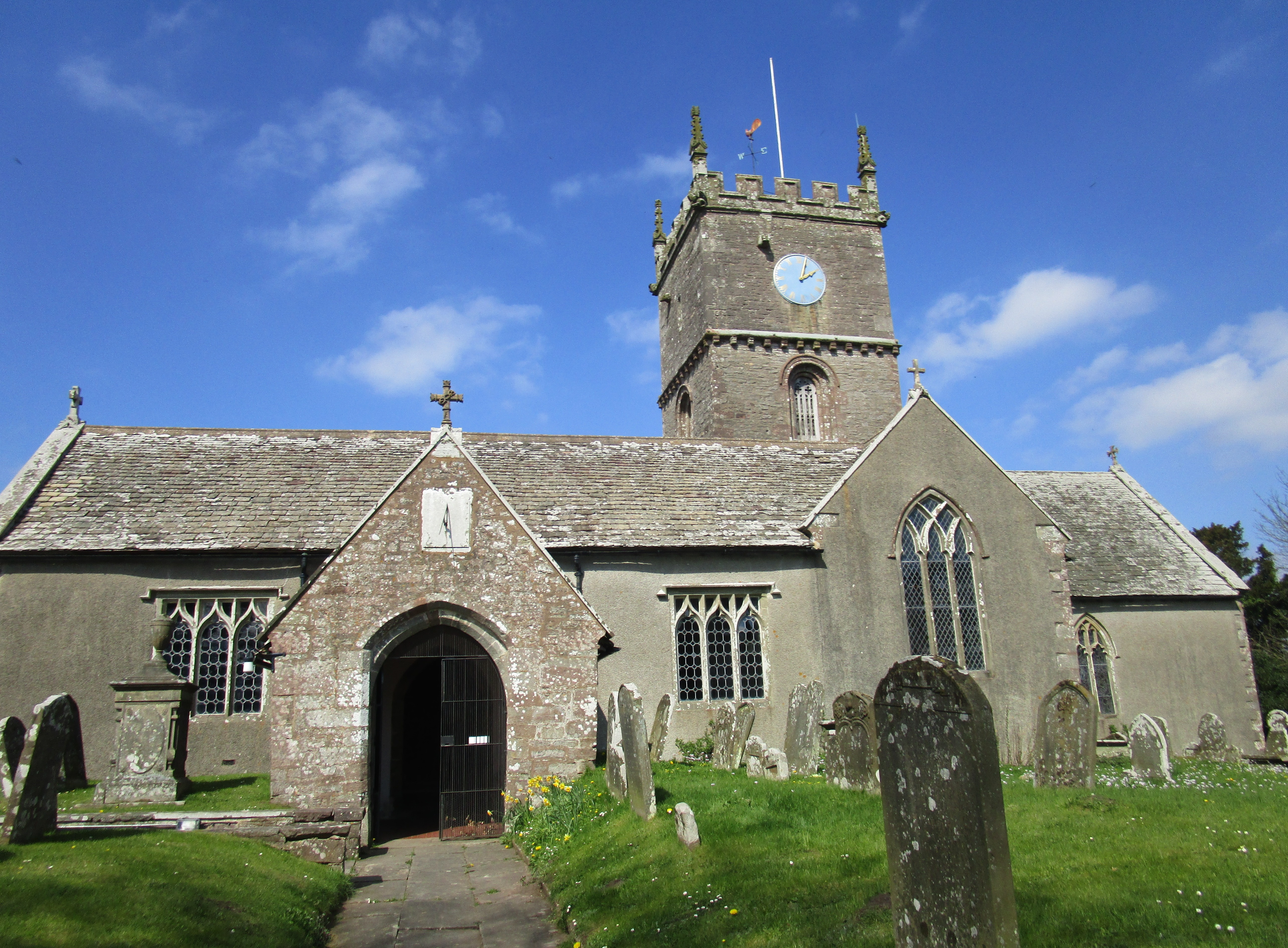
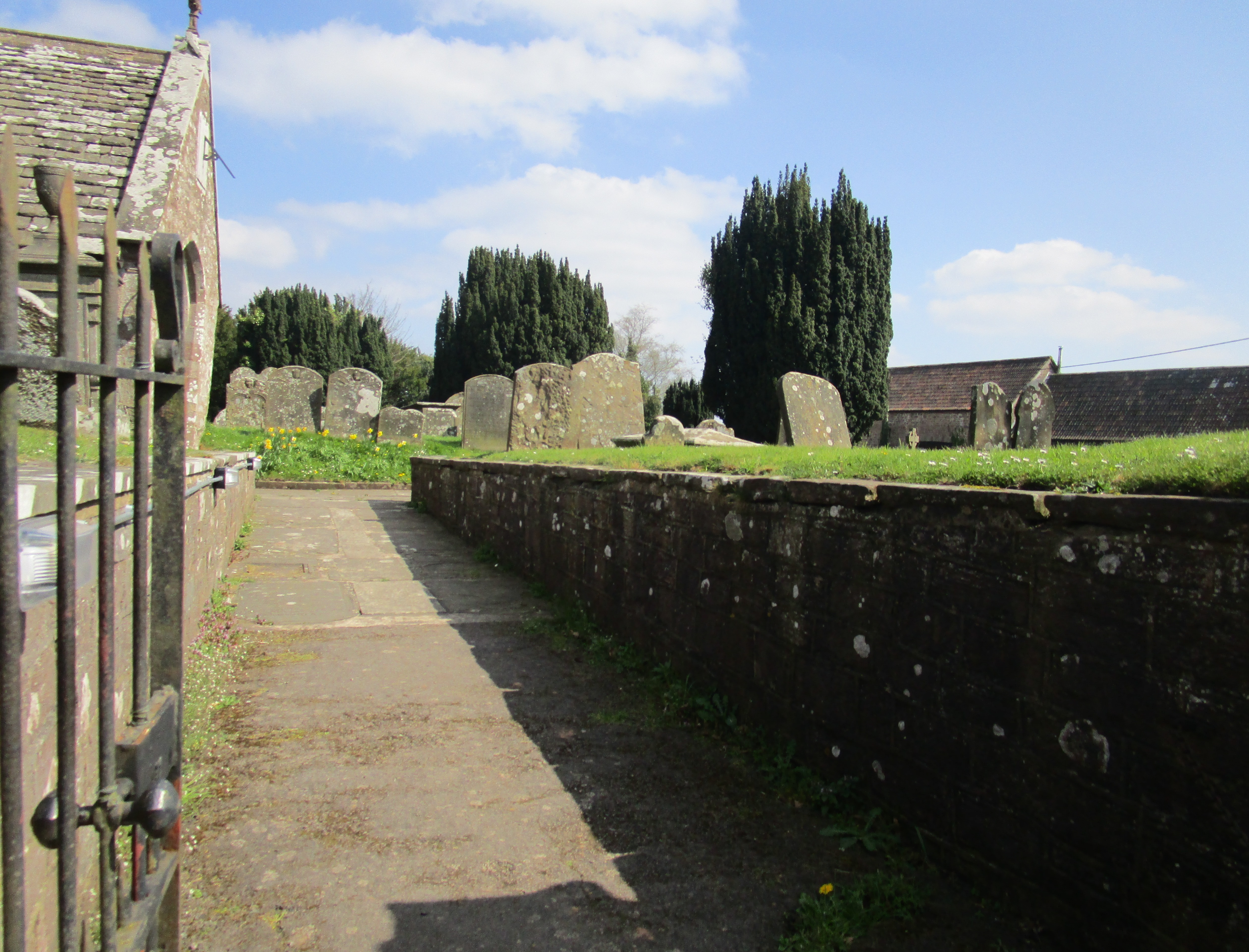
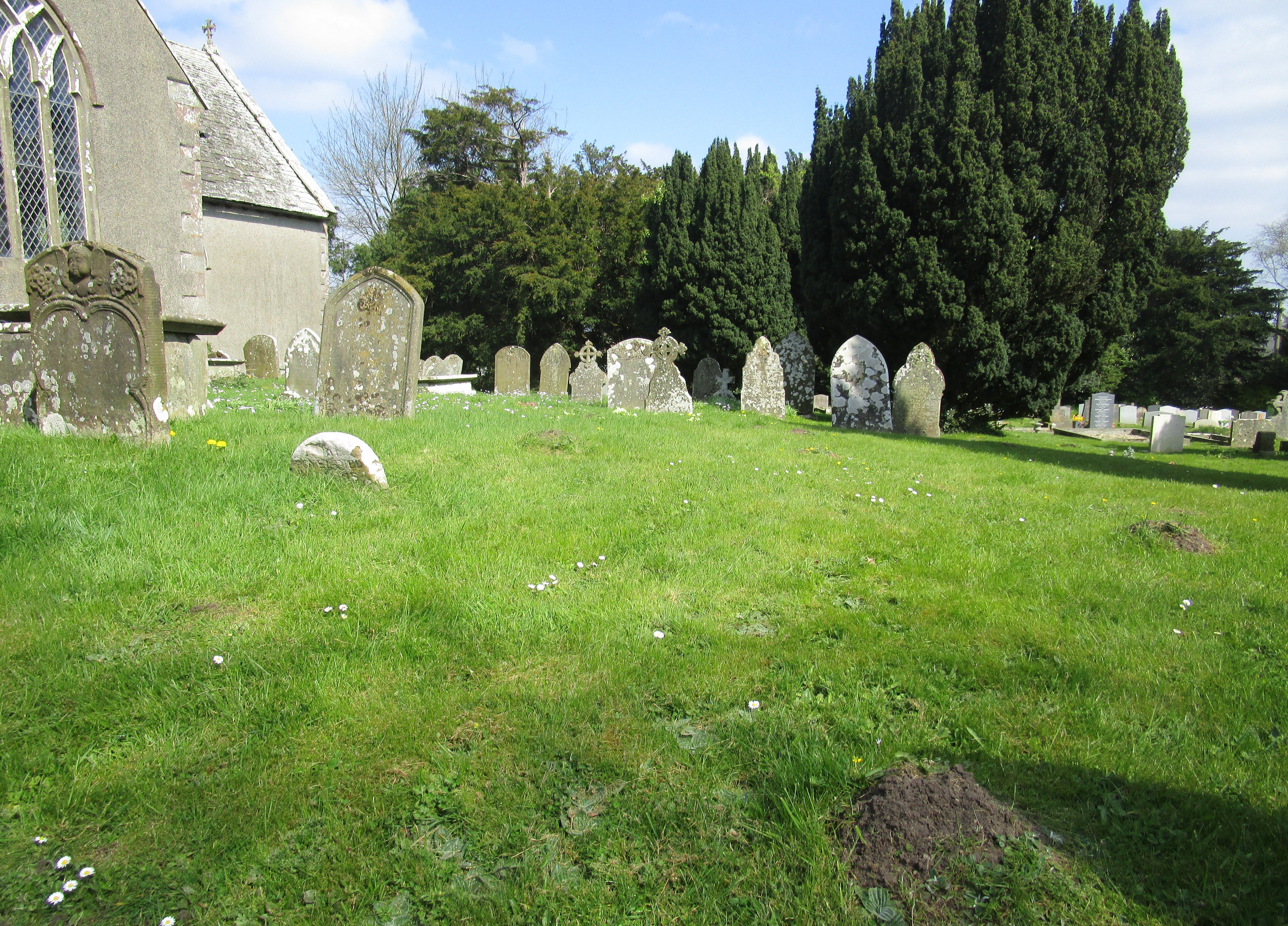
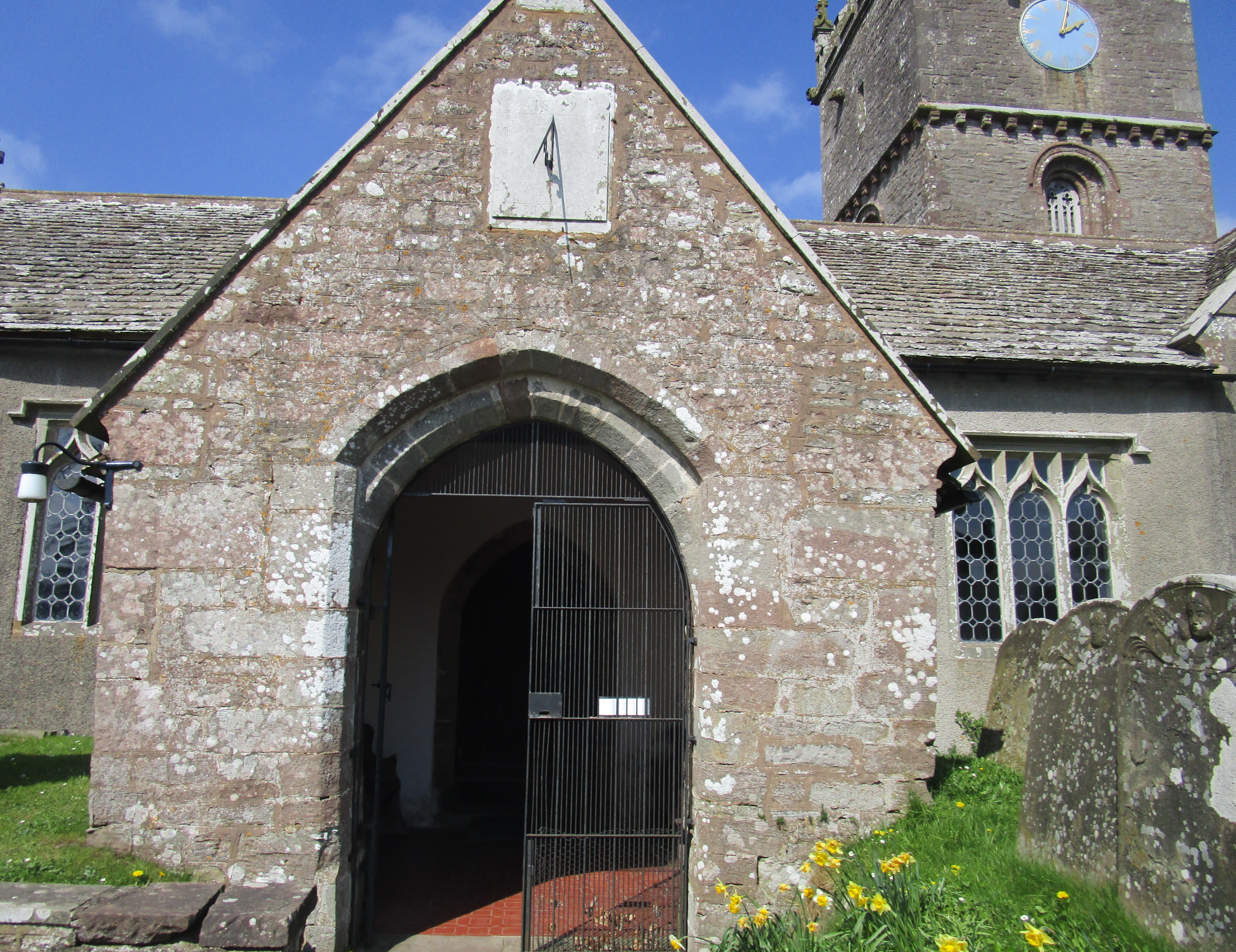
Where is All Saints Churchyard?
All Saints Churchyard is located at Staunton Road Staunton (Coleford), Forest of Dean District ,Gloucestershire , GL16 8NUEngland.
-
All Saints Churchyard cemetery's updated grave count on graveviews.com?
75 memorials
-
Where are the coordinates of the All Saints Churchyard?
Latitude: 51.8101900
Longitude: -2.6533900

Nearby Cemetories:
1. Christchurch Churchyard
Coleford, Forest of Dean District, England
Coordinate: 51.8135470, -2.6229980
2. Coleford Cemetery
Coleford, Forest of Dean District, England
Coordinate: 51.7933080, -2.6245110
3. All Saints Churchyard
Newland, Forest of Dean District, England
Coordinate: 51.7825990, -2.6499310
4. St. Swithin's Churchyard
Ganarew, Herefordshire Unitary Authority, England
Coordinate: 51.8433258, -2.6850994
5. St Mary Churchyard
English Bicknor, Forest of Dean District, England
Coordinate: 51.8390300, -2.6082000
6. Clearwell Cemetery Chapel
Clearwell, Forest of Dean District, England
Coordinate: 51.7685400, -2.6167800
7. The Parish Church of the Holy Jesus
Lydbrook, Forest of Dean District, England
Coordinate: 51.8376080, -2.5774900
8. Christ Church Cemetery
Llangarron, Herefordshire Unitary Authority, England
Coordinate: 51.8699460, -2.6889130
9. All Saints Churchyard
Bishopswood, Herefordshire Unitary Authority, England
Coordinate: 51.8635318, -2.5852627
10. St. Mary the Virgin Churchyard
St Briavels, Forest of Dean District, England
Coordinate: 51.7388290, -2.6405550
11. St Paul's Churchyard
Parkend, Forest of Dean District, England
Coordinate: 51.7659090, -2.5521630
12. St. James' Churchyard
Bream, Forest of Dean District, England
Coordinate: 51.7468630, -2.5795910
13. St. John the Baptist Churchyard
Ruardean, Forest of Dean District, England
Coordinate: 51.8564500, -2.5515220
14. Forest of Dean Crematorium
Cinderford, Forest of Dean District, England
Coordinate: 51.8098440, -2.5259280
15. St John The Evangelist Churchyard
Cinderford, Forest of Dean District, England
Coordinate: 51.8125630, -2.5050510
16. Holy Trinity Churchyard
Drybrook, Forest of Dean District, England
Coordinate: 51.8460500, -2.5125400
17. All Saints Churchyard
Viney Hill, Forest of Dean District, England
Coordinate: 51.7569980, -2.5017310
18. St Bridget Churchyard
Bridstow, Herefordshire Unitary Authority, England
Coordinate: 51.9204600, -2.6055410
19. St. Michael and all Angels Churchyard
Mitcheldean, Forest of Dean District, England
Coordinate: 51.8646000, -2.4904000
20. St. Michael's Churchyard
Abenhall, Forest of Dean District, England
Coordinate: 51.8544700, -2.4786520
21. St. Mary the Virgin Churchyard
Lydney, Forest of Dean District, England
Coordinate: 51.7202430, -2.5326060
22. St. Andrew's Churchyard
Alvington, Forest of Dean District, England
Coordinate: 51.7033900, -2.5754460
23. Lydney Cemetery
Lydney, Forest of Dean District, England
Coordinate: 51.7189747, -2.5338209
24. All Saints Churchyard
Blakeney, Forest of Dean District, England
Coordinate: 51.7615380, -2.4765280