
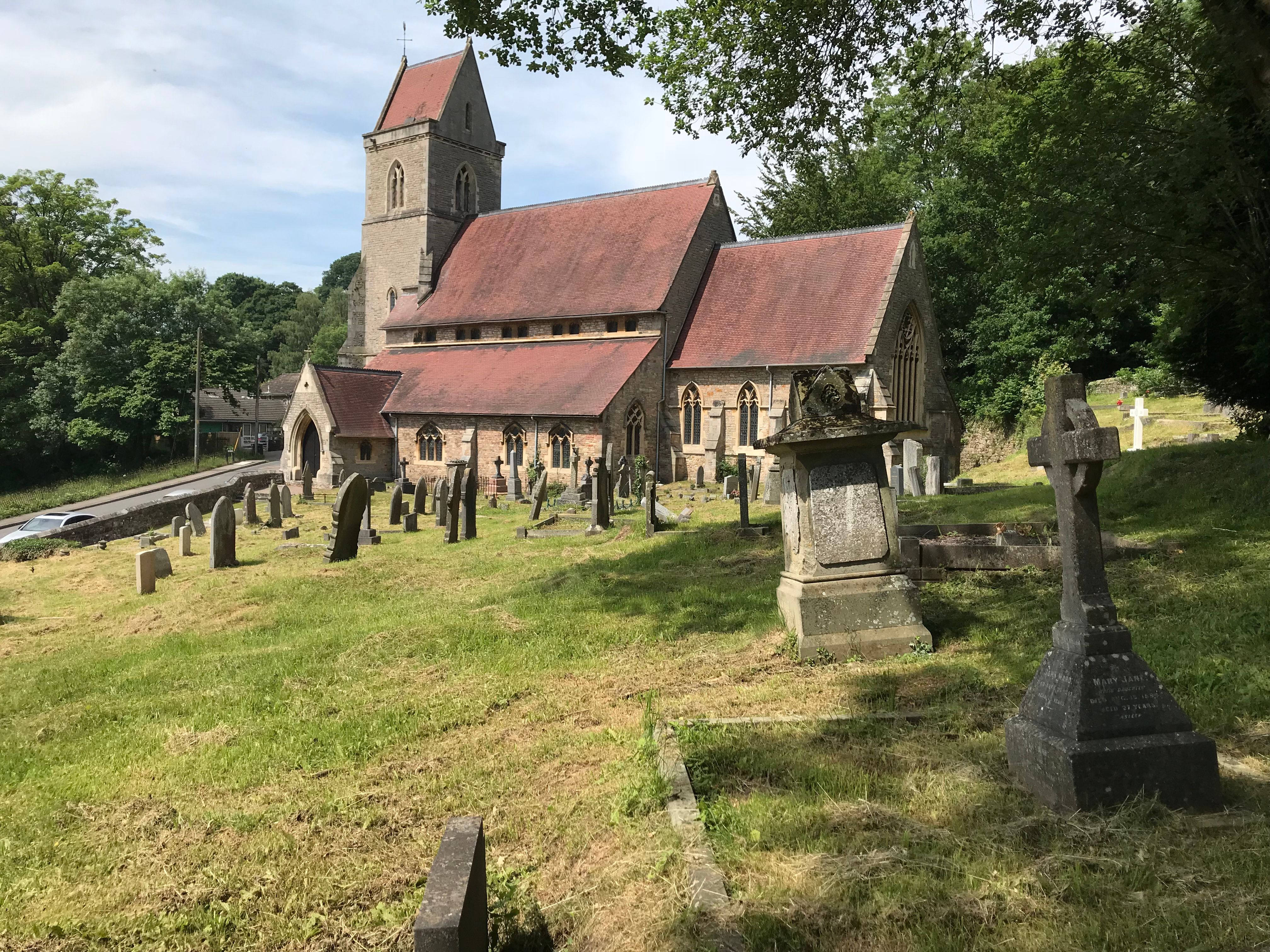
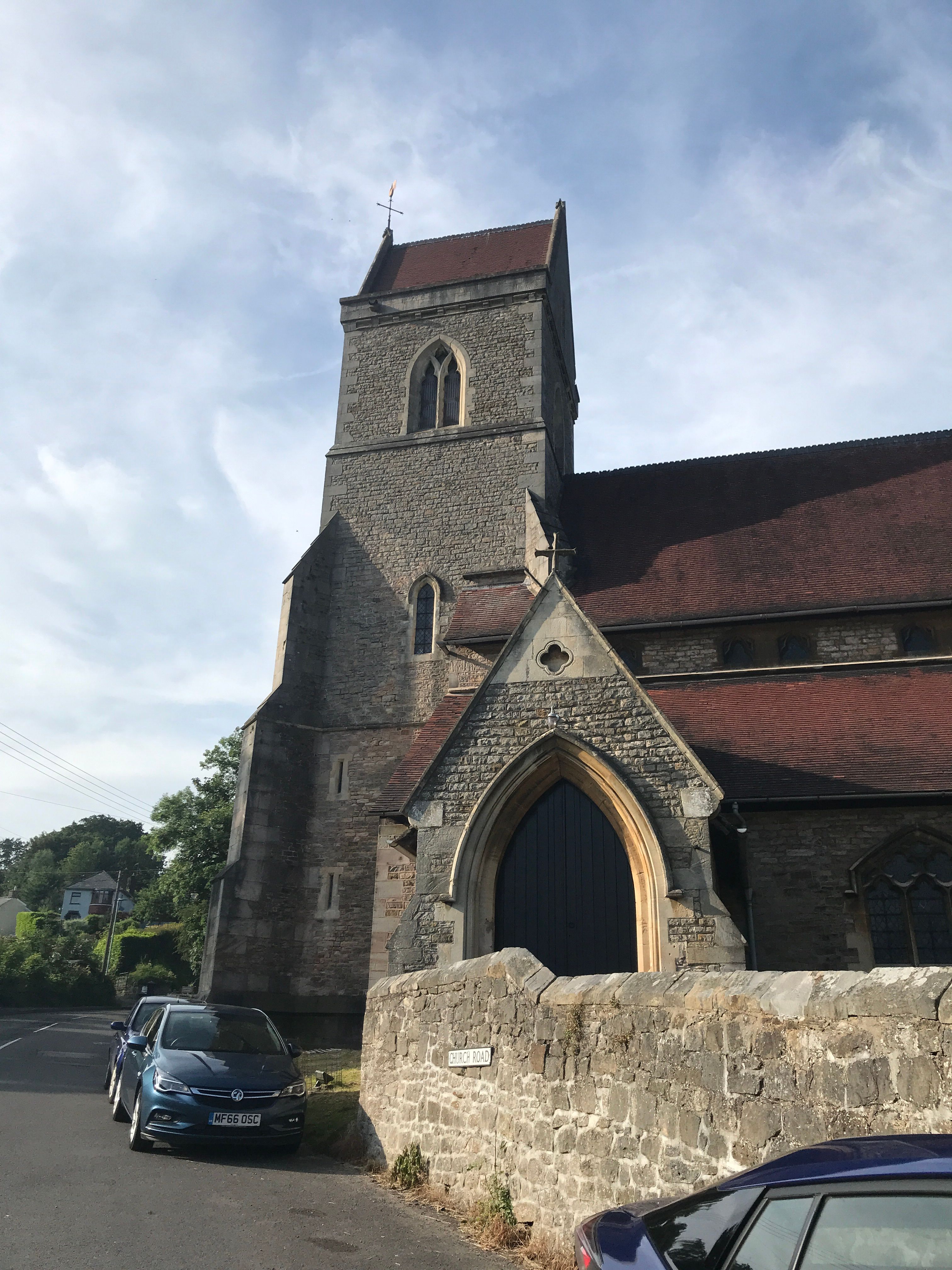
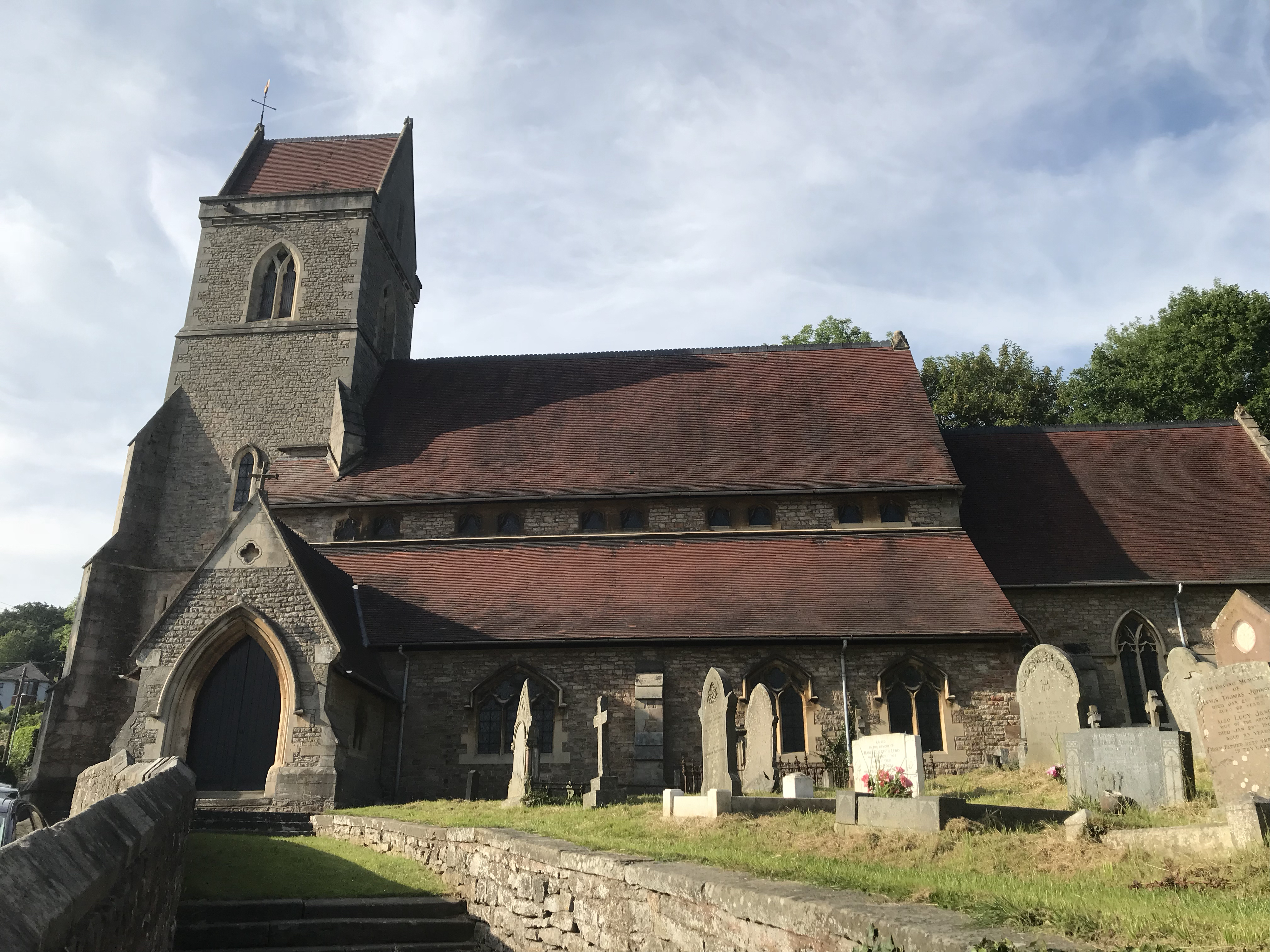
| Memorials | : | 34 |
| Location | : | Lydbrook, Forest of Dean District, England |
| Website | : | lydbrook.forestchurch.org.uk |
| Coordinate | : | 51.8376080, -2.5774900 |
frequently asked questions (FAQ):
-
Where is The Parish Church of the Holy Jesus?
The Parish Church of the Holy Jesus is located at Upper Lydbrook Lydbrook, Forest of Dean District ,Gloucestershire , GL17 9SWEngland.
-
The Parish Church of the Holy Jesus cemetery's updated grave count on graveviews.com?
34 memorials
-
Where are the coordinates of the The Parish Church of the Holy Jesus?
Latitude: 51.8376080
Longitude: -2.5774900

Nearby Cemetories:
1. St Mary Churchyard
English Bicknor, Forest of Dean District, England
Coordinate: 51.8390300, -2.6082000
2. St. John the Baptist Churchyard
Ruardean, Forest of Dean District, England
Coordinate: 51.8564500, -2.5515220
3. All Saints Churchyard
Bishopswood, Herefordshire Unitary Authority, England
Coordinate: 51.8635318, -2.5852627
4. Christchurch Churchyard
Coleford, Forest of Dean District, England
Coordinate: 51.8135470, -2.6229980
5. Holy Trinity Churchyard
Drybrook, Forest of Dean District, England
Coordinate: 51.8460500, -2.5125400
6. Forest of Dean Crematorium
Cinderford, Forest of Dean District, England
Coordinate: 51.8098440, -2.5259280
7. St John The Evangelist Churchyard
Cinderford, Forest of Dean District, England
Coordinate: 51.8125630, -2.5050510
8. Coleford Cemetery
Coleford, Forest of Dean District, England
Coordinate: 51.7933080, -2.6245110
9. All Saints Churchyard
Staunton (Coleford), Forest of Dean District, England
Coordinate: 51.8101900, -2.6533900
10. St. Michael and all Angels Churchyard
Mitcheldean, Forest of Dean District, England
Coordinate: 51.8646000, -2.4904000
11. St. Michael's Churchyard
Abenhall, Forest of Dean District, England
Coordinate: 51.8544700, -2.4786520
12. St. Swithin's Churchyard
Ganarew, Herefordshire Unitary Authority, England
Coordinate: 51.8433258, -2.6850994
13. All Saints Churchyard
Newland, Forest of Dean District, England
Coordinate: 51.7825990, -2.6499310
14. Clearwell Cemetery Chapel
Clearwell, Forest of Dean District, England
Coordinate: 51.7685400, -2.6167800
15. St Paul's Churchyard
Parkend, Forest of Dean District, England
Coordinate: 51.7659090, -2.5521630
16. Christ Church Cemetery
Llangarron, Herefordshire Unitary Authority, England
Coordinate: 51.8699460, -2.6889130
17. St Mary the Virgin Churchyard
Flaxley, Forest of Dean District, England
Coordinate: 51.8356600, -2.4535600
18. Flaxley Abbey
Flaxley, Forest of Dean District, England
Coordinate: 51.8362390, -2.4511420
19. All Saints Churchyard
Longhope, Forest of Dean District, England
Coordinate: 51.8756910, -2.4597020
20. St Bridget Churchyard
Bridstow, Herefordshire Unitary Authority, England
Coordinate: 51.9204600, -2.6055410
21. St. Peter's Churchyard
Newnham, Forest of Dean District, England
Coordinate: 51.8015700, -2.4501300
22. St. James' Churchyard
Bream, Forest of Dean District, England
Coordinate: 51.7468630, -2.5795910
23. All Saints Churchyard
Viney Hill, Forest of Dean District, England
Coordinate: 51.7569980, -2.5017310
24. St. Michael and All Angels Churchyard
Brampton Abbots, Herefordshire Unitary Authority, England
Coordinate: 51.9347980, -2.5817590