| Memorials | : | 2 |
| Location | : | Ruardean, Forest of Dean District, England |
| Coordinate | : | 51.8564500, -2.5515220 |
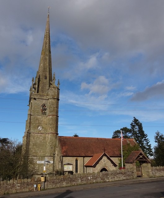
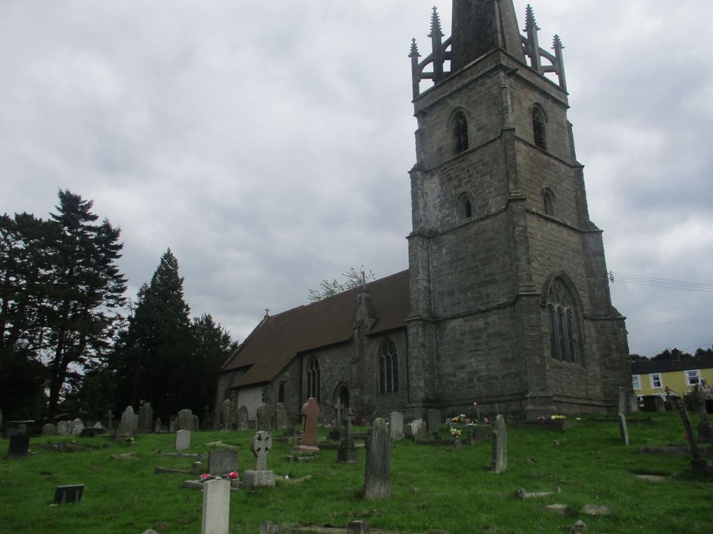
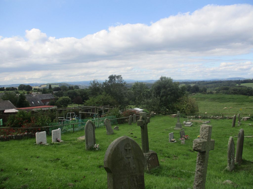
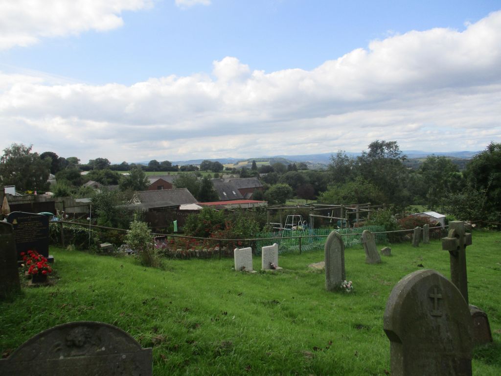
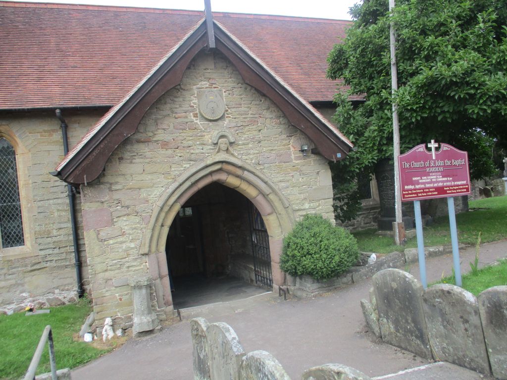
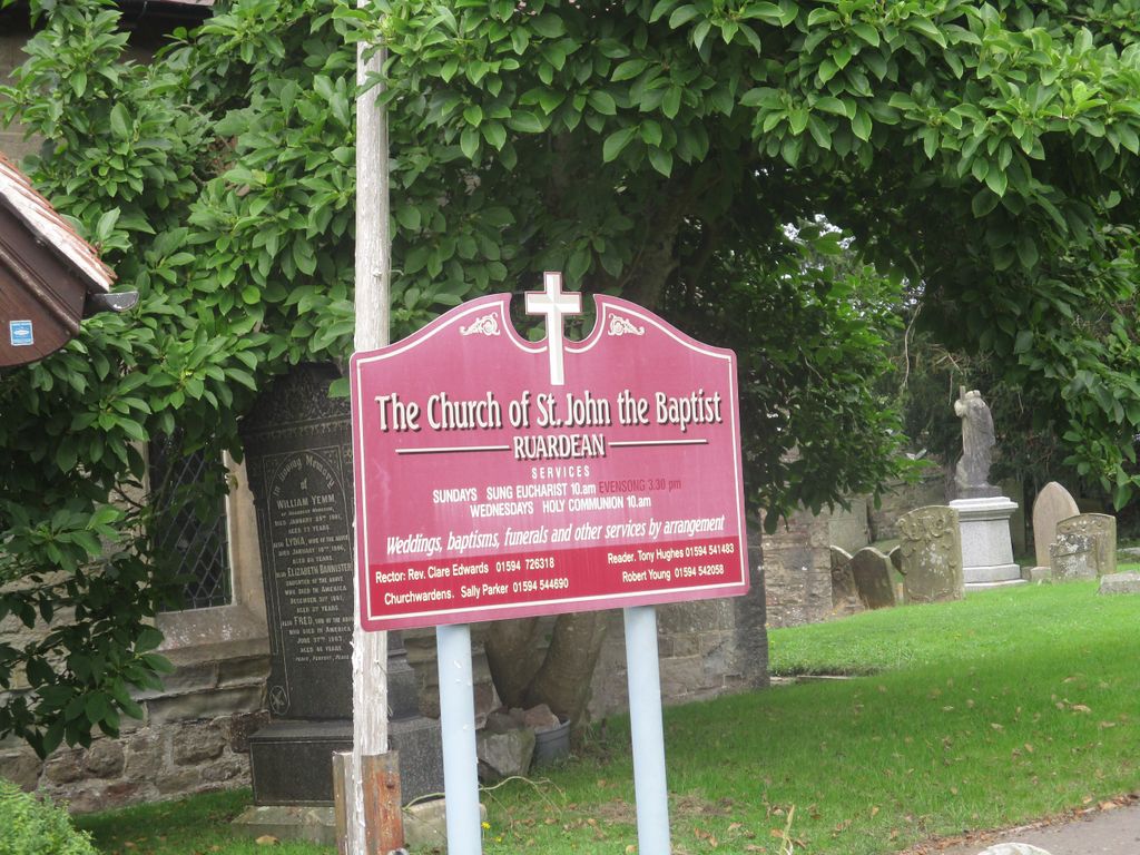
| Description | : | The church of St John the Baptist is located on the High Street in the village of Ruardean in Gloucestershire. It dates from the 12th century with additions in the 13th and 15th centuries. It was heavily restored in 1890 by Waller & Son of Gloucester. The building is surrounded by a square churchyard with an extension to the north-east. |
frequently asked questions (FAQ):
-
Where is St. John the Baptist Churchyard?
St. John the Baptist Churchyard is located at Ruardean, Forest of Dean District ,Gloucestershire , GL17 9USEngland.
-
St. John the Baptist Churchyard cemetery's updated grave count on graveviews.com?
2 memorials
-
Where are the coordinates of the St. John the Baptist Churchyard?
Latitude: 51.8564500
Longitude: -2.5515220
Nearby Cemetories:
1. All Saints Churchyard
Bishopswood, Herefordshire Unitary Authority, England
Coordinate: 51.8635318, -2.5852627
2. The Parish Church of the Holy Jesus
Lydbrook, Forest of Dean District, England
Coordinate: 51.8376080, -2.5774900
3. Holy Trinity Churchyard
Drybrook, Forest of Dean District, England
Coordinate: 51.8460500, -2.5125400
4. St. Michael and all Angels Churchyard
Mitcheldean, Forest of Dean District, England
Coordinate: 51.8646000, -2.4904000
5. St Mary Churchyard
English Bicknor, Forest of Dean District, England
Coordinate: 51.8390300, -2.6082000
6. St. Michael's Churchyard
Abenhall, Forest of Dean District, England
Coordinate: 51.8544700, -2.4786520
7. Forest of Dean Crematorium
Cinderford, Forest of Dean District, England
Coordinate: 51.8098440, -2.5259280
8. St John The Evangelist Churchyard
Cinderford, Forest of Dean District, England
Coordinate: 51.8125630, -2.5050510
9. All Saints Churchyard
Longhope, Forest of Dean District, England
Coordinate: 51.8756910, -2.4597020
10. Christchurch Churchyard
Coleford, Forest of Dean District, England
Coordinate: 51.8135470, -2.6229980
11. St Mary the Virgin Churchyard
Flaxley, Forest of Dean District, England
Coordinate: 51.8356600, -2.4535600
12. Flaxley Abbey
Flaxley, Forest of Dean District, England
Coordinate: 51.8362390, -2.4511420
13. St Bridget Churchyard
Bridstow, Herefordshire Unitary Authority, England
Coordinate: 51.9204600, -2.6055410
14. St. Mary's Churchyard
Linton, Herefordshire Unitary Authority, England
Coordinate: 51.9254120, -2.4957470
15. Coleford Cemetery
Coleford, Forest of Dean District, England
Coordinate: 51.7933080, -2.6245110
16. All Saints Churchyard
Staunton (Coleford), Forest of Dean District, England
Coordinate: 51.8101900, -2.6533900
17. St. Michael and All Angels Churchyard
Brampton Abbots, Herefordshire Unitary Authority, England
Coordinate: 51.9347980, -2.5817590
18. St. Peter's Churchyard
Newnham, Forest of Dean District, England
Coordinate: 51.8015700, -2.4501300
19. St. Swithin's Churchyard
Ganarew, Herefordshire Unitary Authority, England
Coordinate: 51.8433258, -2.6850994
20. Christ Church Cemetery
Llangarron, Herefordshire Unitary Authority, England
Coordinate: 51.8699460, -2.6889130
21. St Paul's Churchyard
Parkend, Forest of Dean District, England
Coordinate: 51.7659090, -2.5521630
22. St John the Baptist Churchyard
Huntley, Forest of Dean District, England
Coordinate: 51.8712980, -2.4068210
23. Saint Peter and Saint Paul Churchyard
Westbury-on-Severn, Forest of Dean District, England
Coordinate: 51.8228858, -2.4117957
24. Christ Church Churchyard
Gorsley, Forest of Dean District, England
Coordinate: 51.9291294, -2.4559924

