
| Memorials | : | 155 |
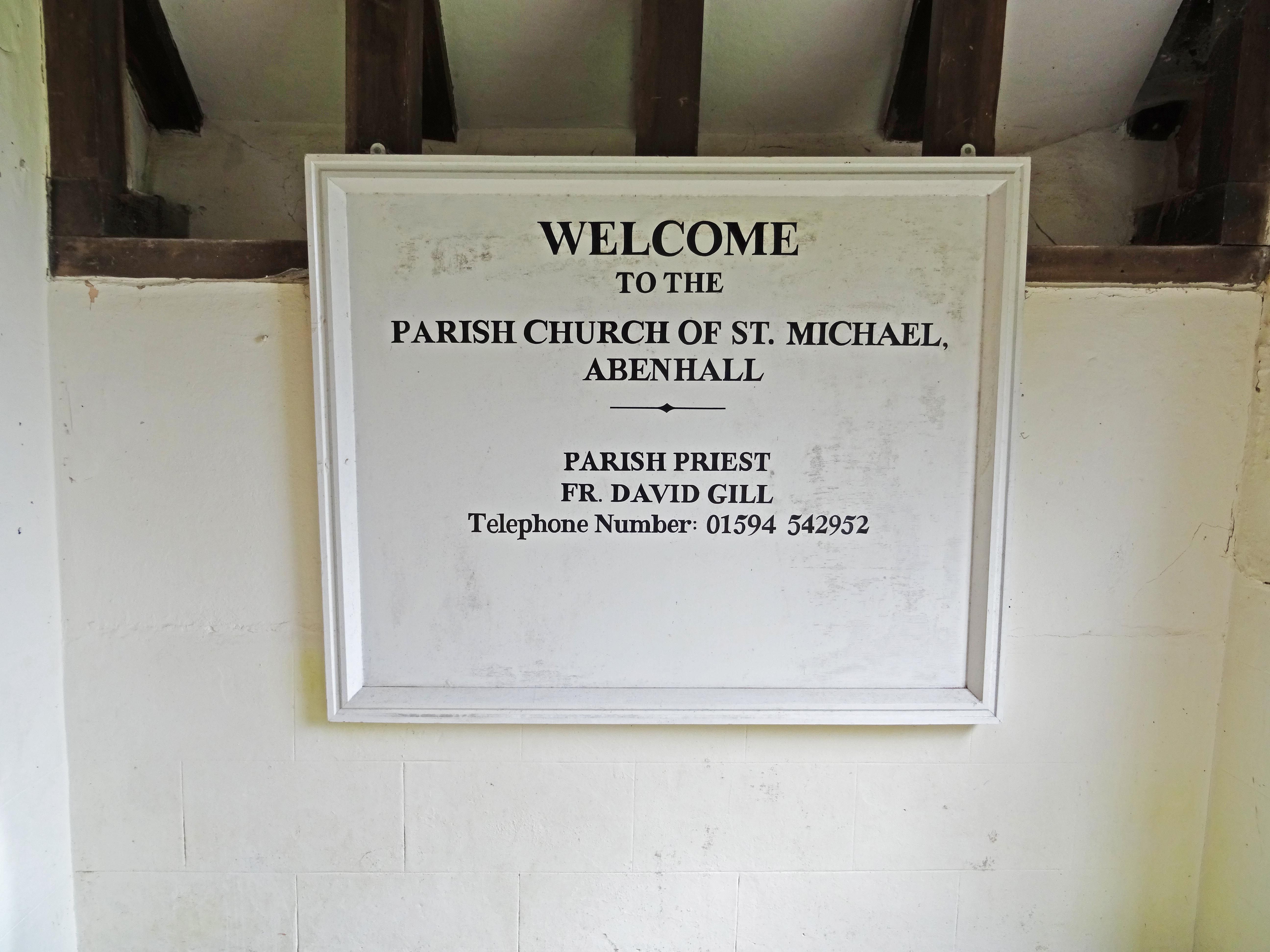
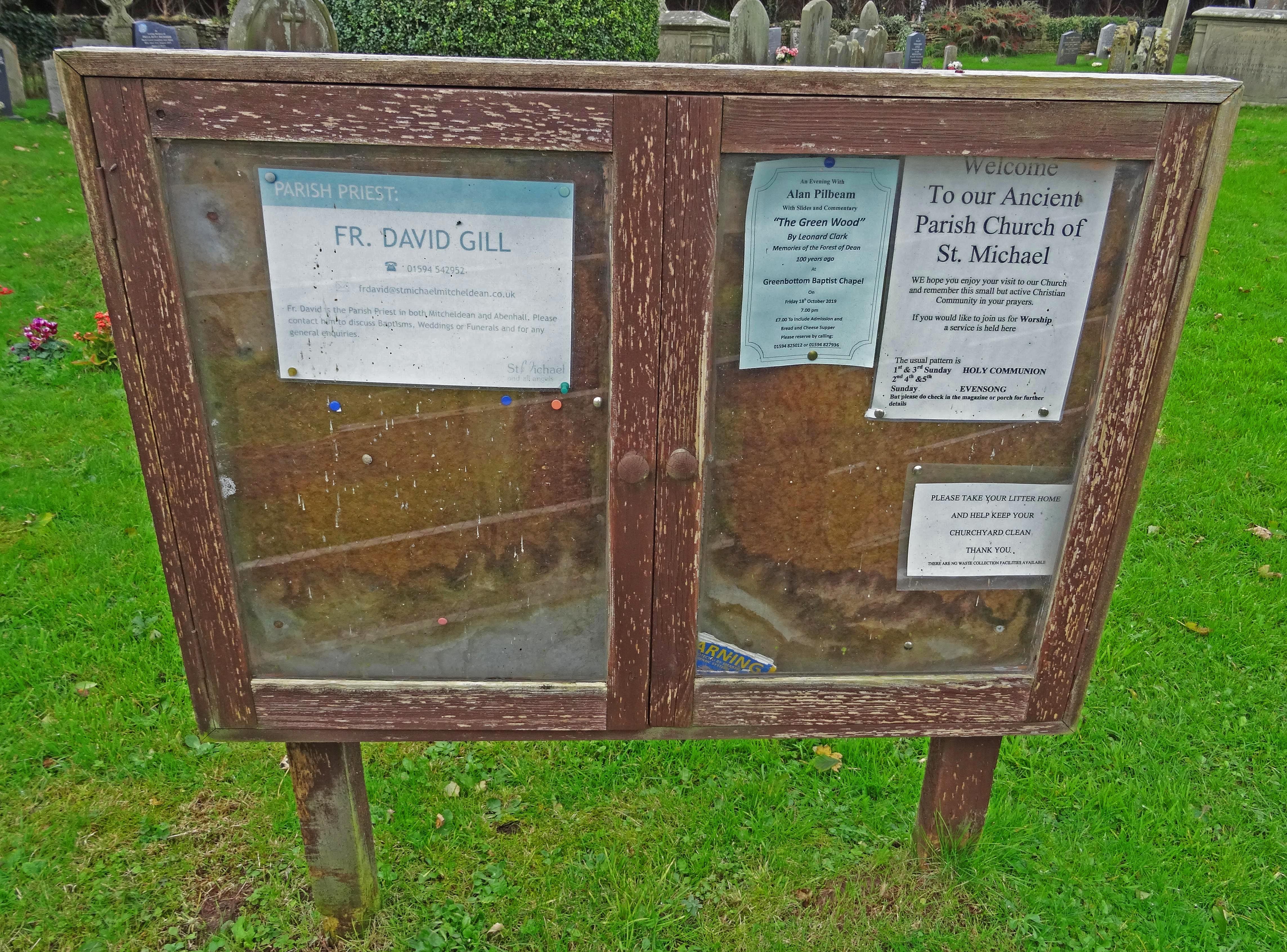
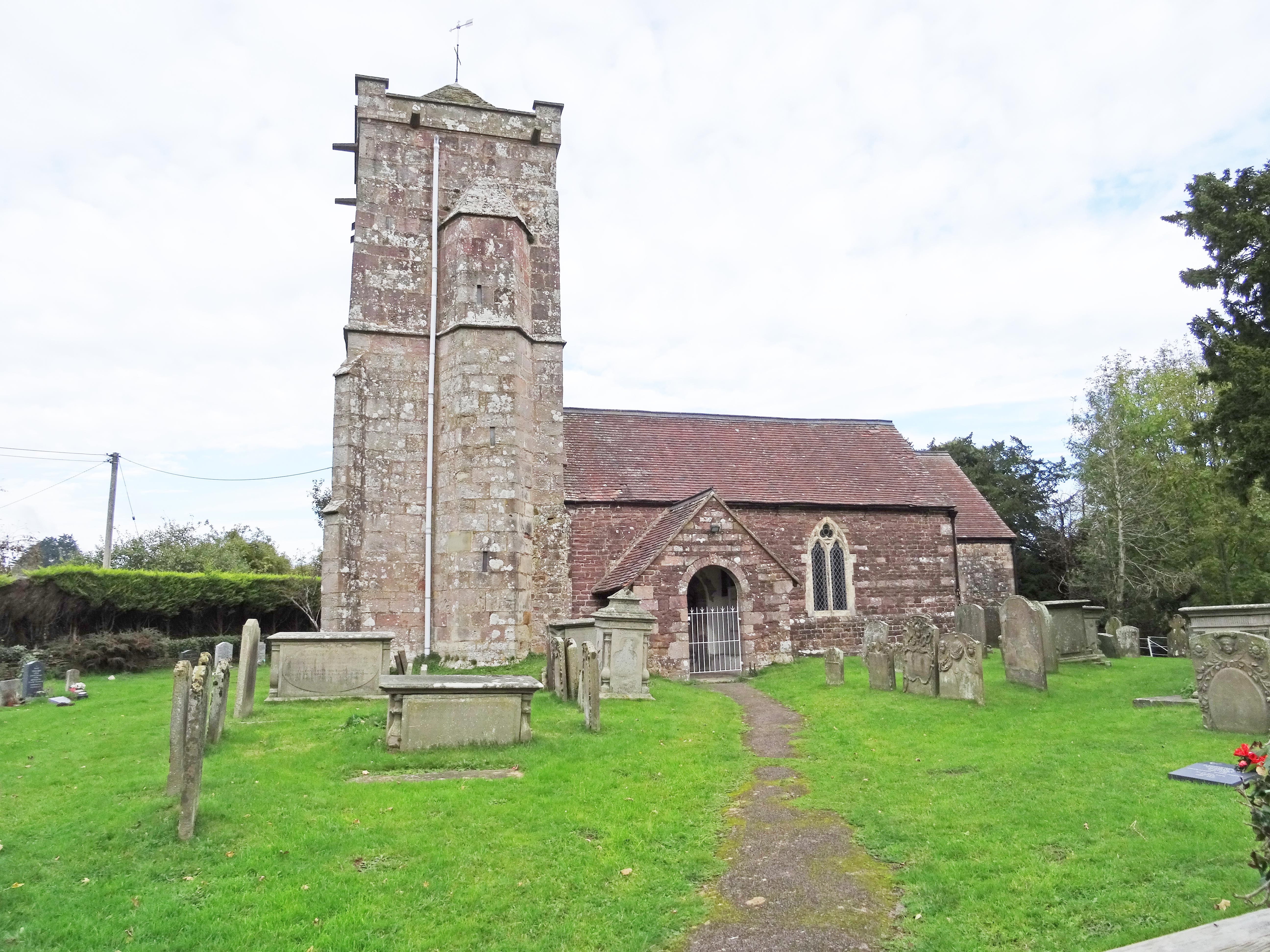
| Location | : | Abenhall, Forest of Dean District, England |
| Coordinate | : | 51.8544700, -2.4786520 |
frequently asked questions (FAQ):
-
Where is St. Michael's Churchyard?
St. Michael's Churchyard is located at Abenhall Rd Abenhall, Forest of Dean District ,Gloucestershire , GL17 0SQEngland.
-
St. Michael's Churchyard cemetery's updated grave count on graveviews.com?
155 memorials
-
Where are the coordinates of the St. Michael's Churchyard?
Latitude: 51.8544700
Longitude: -2.4786520
Nearby Cemetories:
1. St. Michael and all Angels Churchyard
Mitcheldean, Forest of Dean District, England
Coordinate: 51.8646000, -2.4904000
2. Holy Trinity Churchyard
Drybrook, Forest of Dean District, England
Coordinate: 51.8460500, -2.5125400
3. All Saints Churchyard
Longhope, Forest of Dean District, England
Coordinate: 51.8756910, -2.4597020
4. St Mary the Virgin Churchyard
Flaxley, Forest of Dean District, England
Coordinate: 51.8356600, -2.4535600
5. Flaxley Abbey
Flaxley, Forest of Dean District, England
Coordinate: 51.8362390, -2.4511420
6. St John The Evangelist Churchyard
Cinderford, Forest of Dean District, England
Coordinate: 51.8125630, -2.5050510
7. St. John the Baptist Churchyard
Ruardean, Forest of Dean District, England
Coordinate: 51.8564500, -2.5515220
8. St John the Baptist Churchyard
Huntley, Forest of Dean District, England
Coordinate: 51.8712980, -2.4068210
9. Saint Peter and Saint Paul Churchyard
Westbury-on-Severn, Forest of Dean District, England
Coordinate: 51.8228858, -2.4117957
10. Forest of Dean Crematorium
Cinderford, Forest of Dean District, England
Coordinate: 51.8098440, -2.5259280
11. St. Peter's Churchyard
Newnham, Forest of Dean District, England
Coordinate: 51.8015700, -2.4501300
12. The Parish Church of the Holy Jesus
Lydbrook, Forest of Dean District, England
Coordinate: 51.8376080, -2.5774900
13. All Saints Churchyard
Bishopswood, Herefordshire Unitary Authority, England
Coordinate: 51.8635318, -2.5852627
14. St. Mary the Virgin Churchyard
Arlingham, Stroud District, England
Coordinate: 51.7940080, -2.4263290
15. St. Mary's Churchyard
Linton, Herefordshire Unitary Authority, England
Coordinate: 51.9254120, -2.4957470
16. Christ Church Churchyard
Gorsley, Forest of Dean District, England
Coordinate: 51.9291294, -2.4559924
17. St Mary Churchyard
English Bicknor, Forest of Dean District, England
Coordinate: 51.8390300, -2.6082000
18. Newent Cemetery
Newent, Forest of Dean District, England
Coordinate: 51.9272500, -2.4135730
19. St. Andrew's Churchyard
Churcham, Forest of Dean District, England
Coordinate: 51.8618970, -2.3375000
20. St. Peter's Church
Stroud District, England
Coordinate: 51.7927144, -2.3752327
21. St Anne's Churchyard
Oxenhall, Forest of Dean District, England
Coordinate: 51.9383000, -2.4212000
22. St. Peter's Churchyard
Minsterworth, Tewkesbury Borough, England
Coordinate: 51.8511500, -2.3307800
23. All Saints Churchyard
Blakeney, Forest of Dean District, England
Coordinate: 51.7615380, -2.4765280
24. St Mary the Virgin Churchyard
Fretherne, Stroud District, England
Coordinate: 51.7804140, -2.3873960