
| Memorials | : | 453 |
| Location | : | Newland, Forest of Dean District, England |
| Coordinate | : | 51.7825990, -2.6499310 |
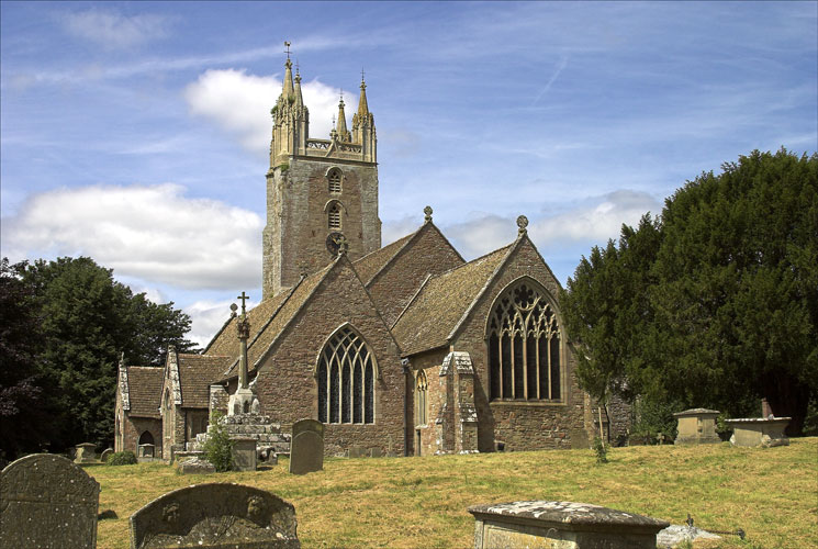
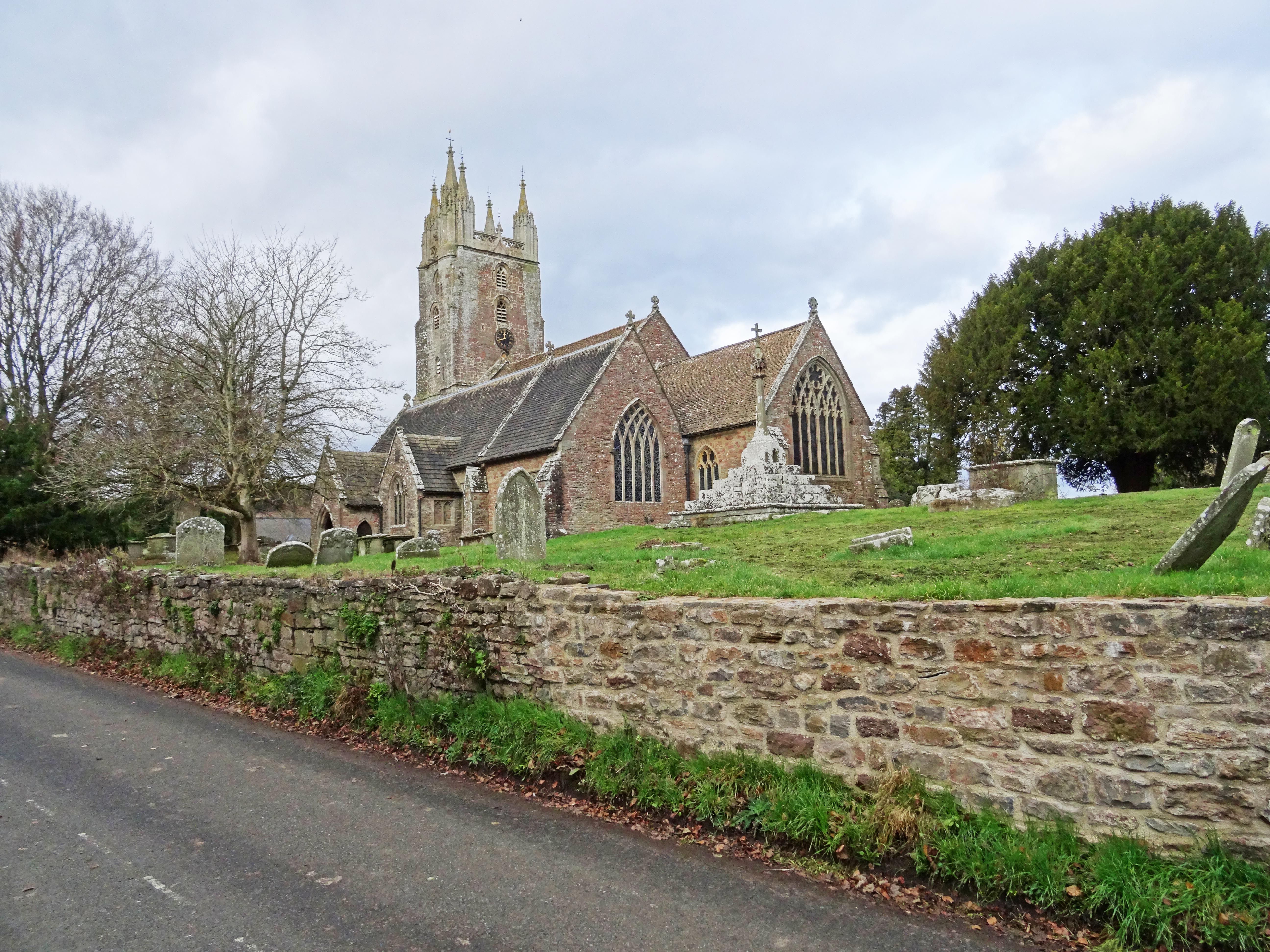
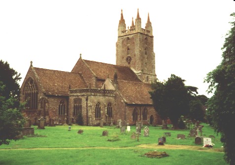
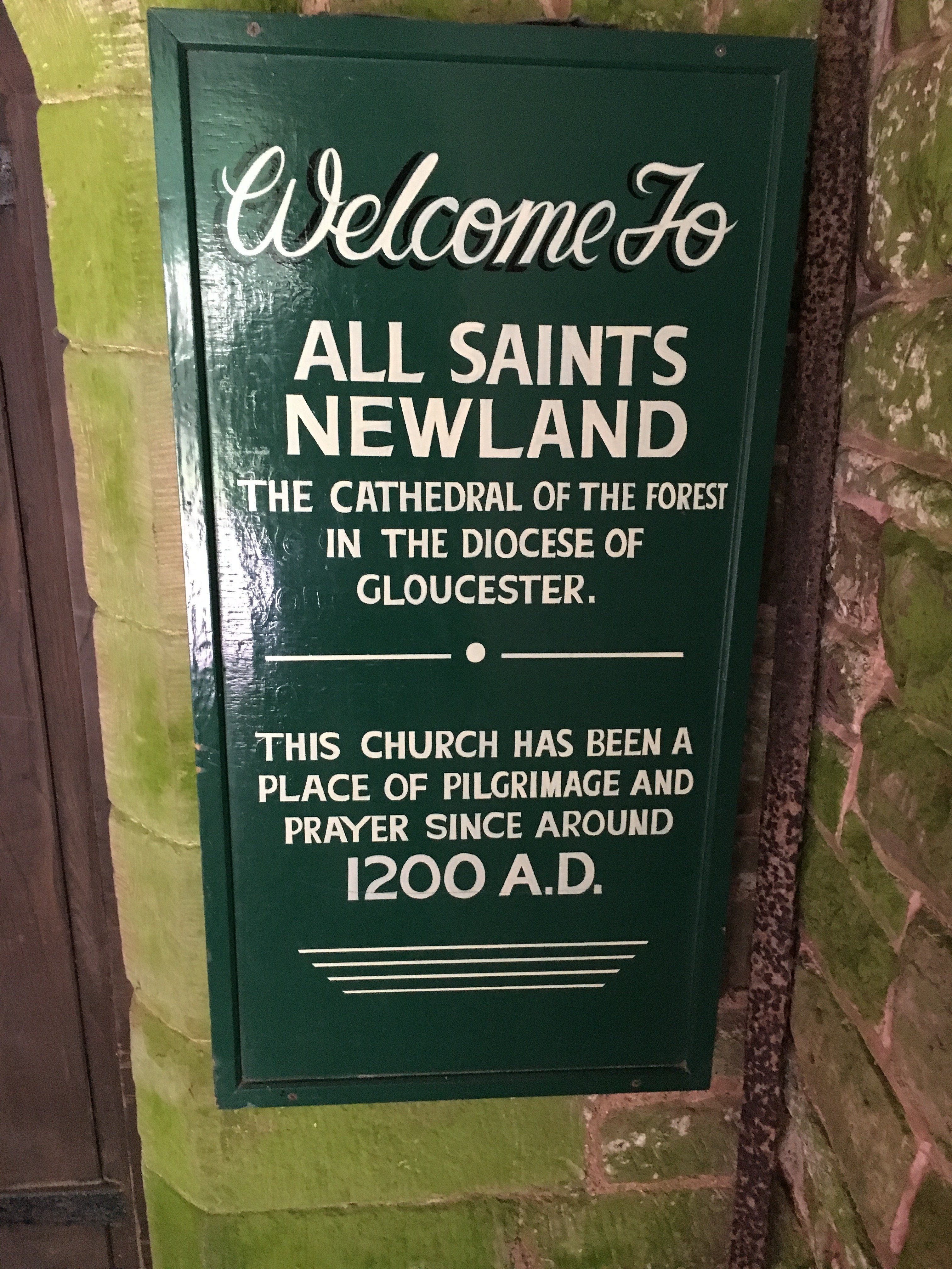
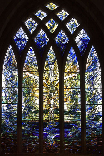
| Description | : | Often referred to as the “Cathedral of the Forest”, the church dedicated to All Saints was founded shortly before 1216. It comprises a chancel with side chapels, an aisled nave with south chapel and south porch, and a west tower. The tower was begun in the late 13th century, although the upper stages are of the late 14th or early 15th century. The chancel, the chapel south of it, the arcades and aisles, and the south porch are mainly 14th century features, and the north and east chapels were added in the 15th century. The church was thoroughly restored between... Read More |
frequently asked questions (FAQ):
-
Where is All Saints Churchyard?
All Saints Churchyard is located at Newland, Forest of Dean District ,Gloucestershire ,England.
-
All Saints Churchyard cemetery's updated grave count on graveviews.com?
453 memorials
-
Where are the coordinates of the All Saints Churchyard?
Latitude: 51.7825990
Longitude: -2.6499310
Nearby Cemetories:
1. Coleford Cemetery
Coleford, Forest of Dean District, England
Coordinate: 51.7933080, -2.6245110
2. Clearwell Cemetery Chapel
Clearwell, Forest of Dean District, England
Coordinate: 51.7685400, -2.6167800
3. All Saints Churchyard
Staunton (Coleford), Forest of Dean District, England
Coordinate: 51.8101900, -2.6533900
4. Christchurch Churchyard
Coleford, Forest of Dean District, England
Coordinate: 51.8135470, -2.6229980
5. St. Mary the Virgin Churchyard
St Briavels, Forest of Dean District, England
Coordinate: 51.7388290, -2.6405550
6. St. James' Churchyard
Bream, Forest of Dean District, England
Coordinate: 51.7468630, -2.5795910
7. St Mary Churchyard
English Bicknor, Forest of Dean District, England
Coordinate: 51.8390300, -2.6082000
8. St Paul's Churchyard
Parkend, Forest of Dean District, England
Coordinate: 51.7659090, -2.5521630
9. St. Swithin's Churchyard
Ganarew, Herefordshire Unitary Authority, England
Coordinate: 51.8433258, -2.6850994
10. The Parish Church of the Holy Jesus
Lydbrook, Forest of Dean District, England
Coordinate: 51.8376080, -2.5774900
11. Forest of Dean Crematorium
Cinderford, Forest of Dean District, England
Coordinate: 51.8098440, -2.5259280
12. All Saints Churchyard
Bishopswood, Herefordshire Unitary Authority, England
Coordinate: 51.8635318, -2.5852627
13. Christ Church Cemetery
Llangarron, Herefordshire Unitary Authority, England
Coordinate: 51.8699460, -2.6889130
14. St. Andrew's Churchyard
Alvington, Forest of Dean District, England
Coordinate: 51.7033900, -2.5754460
15. St John The Evangelist Churchyard
Cinderford, Forest of Dean District, England
Coordinate: 51.8125630, -2.5050510
16. All Saints Churchyard
Viney Hill, Forest of Dean District, England
Coordinate: 51.7569980, -2.5017310
17. St. John the Baptist Churchyard
Ruardean, Forest of Dean District, England
Coordinate: 51.8564500, -2.5515220
18. St. Mary the Virgin Churchyard
Lydney, Forest of Dean District, England
Coordinate: 51.7202430, -2.5326060
19. Lydney Cemetery
Lydney, Forest of Dean District, England
Coordinate: 51.7189747, -2.5338209
20. St Michael & All Angels Churchyard
Tidenham Chase, Forest of Dean District, England
Coordinate: 51.6862323, -2.6432188
21. St. Andrew's Churchyard
Woolaston, Forest of Dean District, England
Coordinate: 51.6912000, -2.5982900
22. Holy Trinity Churchyard
Drybrook, Forest of Dean District, England
Coordinate: 51.8460500, -2.5125400
23. All Saints Churchyard
Blakeney, Forest of Dean District, England
Coordinate: 51.7615380, -2.4765280
24. St. Mary and St. Peter Churchyard
Tidenham Chase, Forest of Dean District, England
Coordinate: 51.6601690, -2.6434850