
| Memorials | : | 114 |
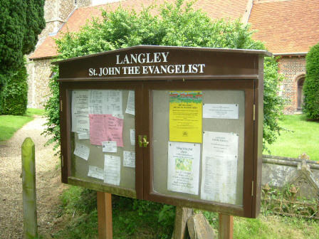
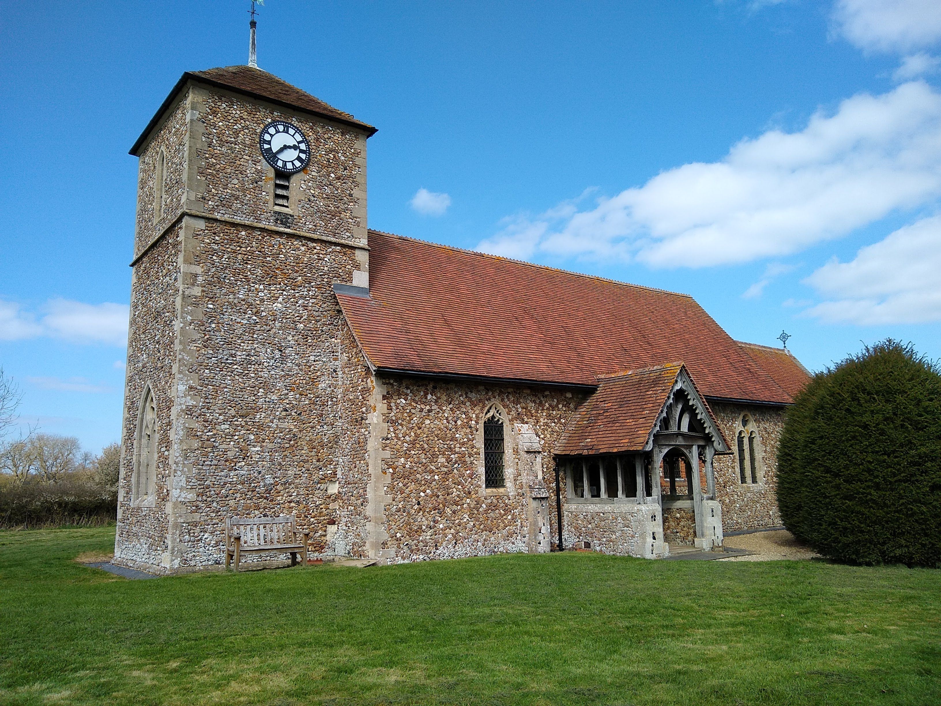
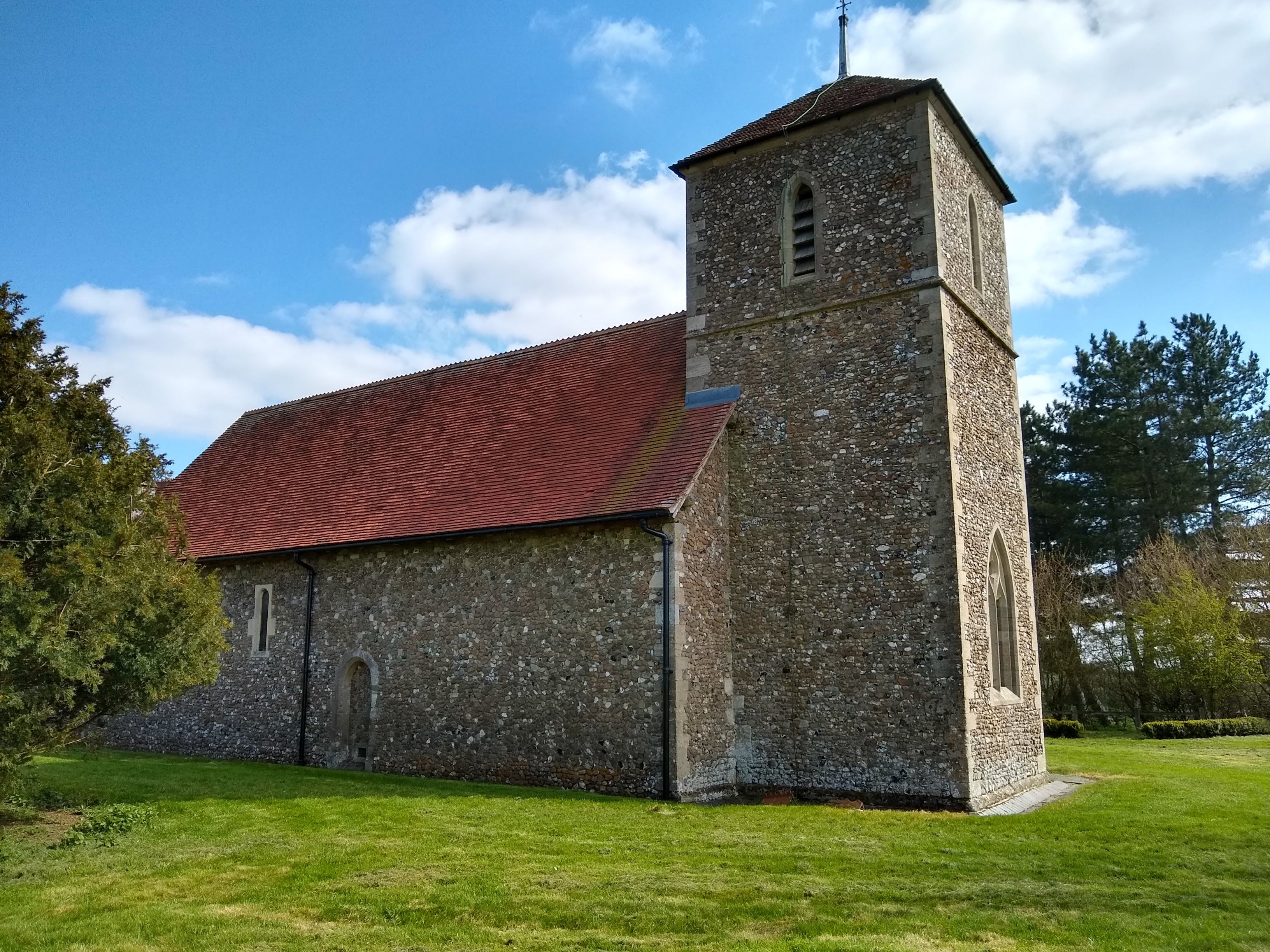
| Location | : | Langley, Uttlesford District, England |
| Coordinate | : | 51.9969356, 0.0995640 |
frequently asked questions (FAQ):
-
Where is St. John The Evangelist Churchyard?
St. John The Evangelist Churchyard is located at Bull Lane Langley, Uttlesford District ,Essex ,England.
-
St. John The Evangelist Churchyard cemetery's updated grave count on graveviews.com?
114 memorials
-
Where are the coordinates of the St. John The Evangelist Churchyard?
Latitude: 51.9969356
Longitude: 0.0995640
Nearby Cemetories:
1. Saint Mary Churchyard
Meesden, East Hertfordshire District, England
Coordinate: 51.9728000, 0.0934270
2. The Hamlet Church Cemetery
Duddenhoe End, Uttlesford District, England
Coordinate: 52.0145269, 0.1285385
3. St Nicholas Churchyard
Little Chishill, South Cambridgeshire District, England
Coordinate: 52.0154690, 0.0654890
4. Holy Trinity Churchyard
Chrishall, Uttlesford District, England
Coordinate: 52.0276500, 0.1139577
5. St Margaret Churchyard
Arkesden, Uttlesford District, England
Coordinate: 51.9897000, 0.1571200
6. St Swithin Churchyard
Great Chishill, South Cambridgeshire District, England
Coordinate: 52.0300090, 0.0715990
7. Ss Mary and Clement Churchyard
Clavering, Uttlesford District, England
Coordinate: 51.9653720, 0.1393760
8. St George Churchyard
Anstey, East Hertfordshire District, England
Coordinate: 51.9766990, 0.0431300
9. St. Nicholas Churchyard
Elmdon, Uttlesford District, England
Coordinate: 52.0359900, 0.1294000
10. Holy Trinity Churchyard
Heydon, South Cambridgeshire District, England
Coordinate: 52.0399400, 0.0868500
11. St. Margaret of Antioch Churchyard
Barley, North Hertfordshire District, England
Coordinate: 52.0264390, 0.0416390
12. Barkway Chapel Cemetery
Barkway, North Hertfordshire District, England
Coordinate: 52.0047910, 0.0151040
13. St Mary Magdalene Churchyard
Barkway, North Hertfordshire District, England
Coordinate: 52.0015793, 0.0129600
14. All Saints Churchyard
Rickling, Uttlesford District, England
Coordinate: 51.9615100, 0.1798200
15. Great Hormead St Nicholas Churchyard
Hormead, East Hertfordshire District, England
Coordinate: 51.9469500, 0.0353300
16. St. Mary the Virgin Churchyard
Wendens Ambo, Uttlesford District, England
Coordinate: 52.0049490, 0.2029250
17. St Mary the Virgin Churchyard
Furneux Pelham, East Hertfordshire District, England
Coordinate: 51.9316710, 0.0808950
18. Hare Street Benson Grounds
Buntingford, East Hertfordshire District, England
Coordinate: 51.9492640, 0.0221120
19. Little Hormead St Mary Churchyard
Hormead, East Hertfordshire District, England
Coordinate: 51.9428430, 0.0331630
20. St Giles Churchyard
Wyddial, East Hertfordshire District, England
Coordinate: 51.9673270, -0.0010730
21. St Mary the Virgin Churchyard
Newport, Uttlesford District, England
Coordinate: 51.9845000, 0.2135600
22. St Mary Churchyard
Reed, North Hertfordshire District, England
Coordinate: 52.0034714, -0.0183250
23. St Andrew Churchyard
Buckland, East Hertfordshire District, England
Coordinate: 51.9866510, -0.0230880
24. Holy Trinity Churchyard
Littlebury, Uttlesford District, England
Coordinate: 52.0330700, 0.2099040