
| Memorials | : | 145 |
| Location | : | Meesden, East Hertfordshire District, England |
| Coordinate | : | 51.9728000, 0.0934270 |
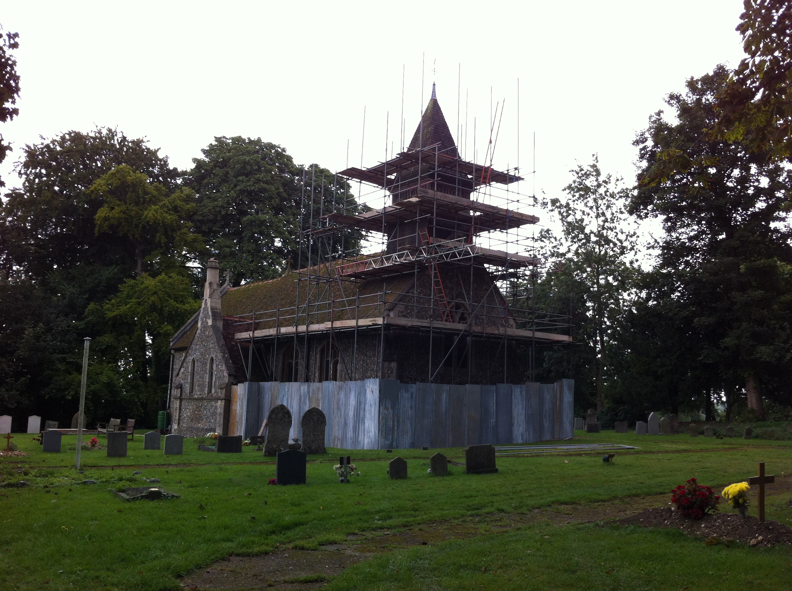
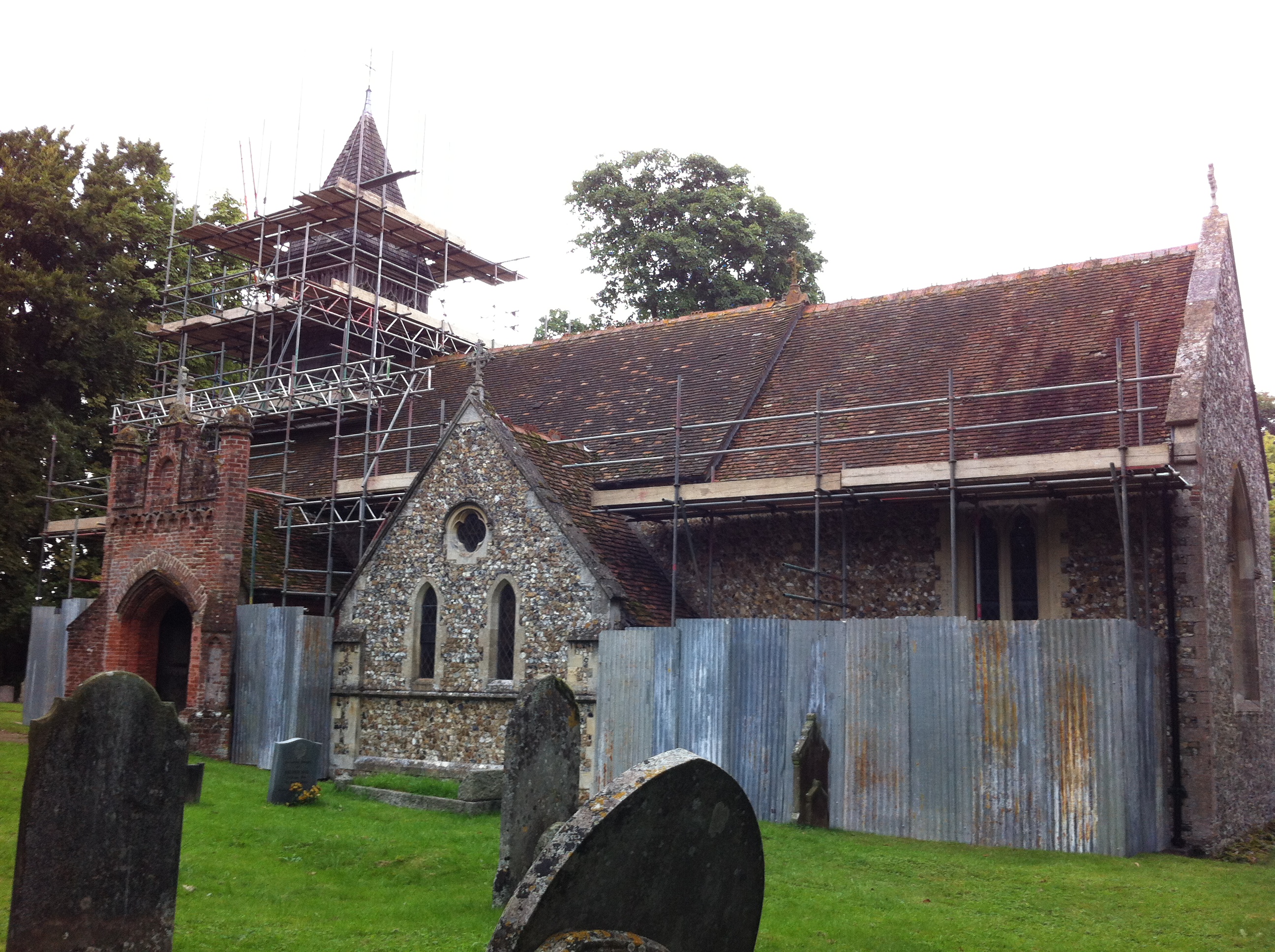
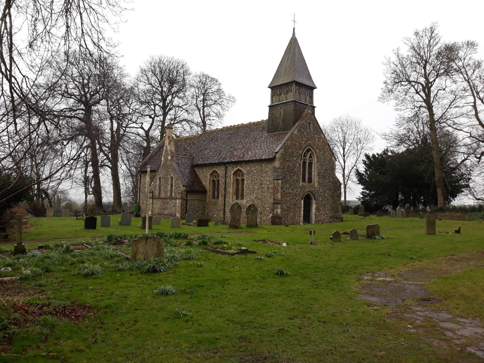
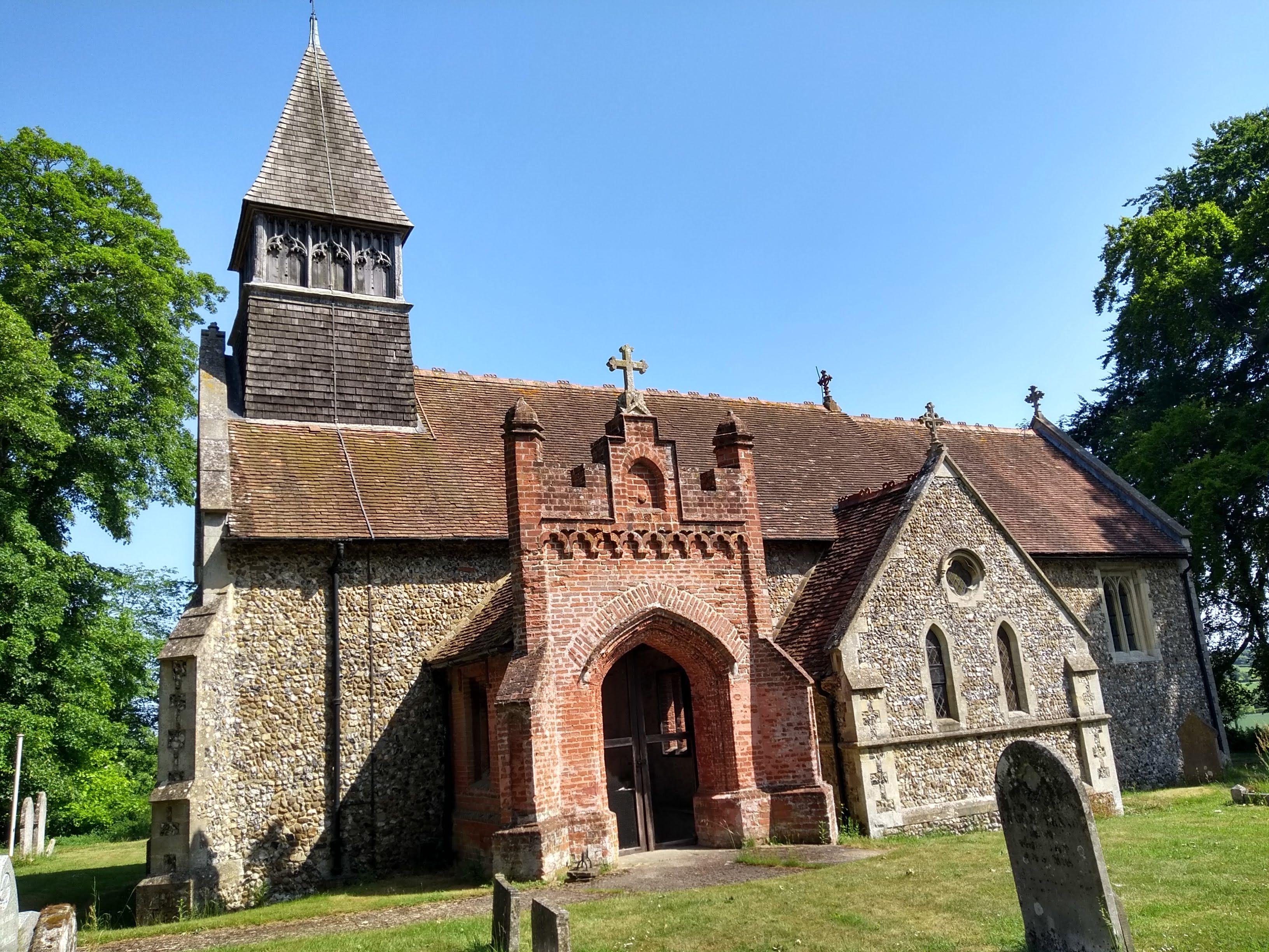
| Description | : | St. Mary's Church and Churchyard serve the small village of Meesden close to the Hertfordshire/Essex border. The churchyard is maintained and surrounds the church on all sides. Access is via a gate and tree lined path, from a lane located a short distance east of the village itself. The church is currently (2013) undergoing external restoration and is still in active use, although services alternate between other local churches at Brent Pelham, Hormead and Anstey. |
frequently asked questions (FAQ):
-
Where is Saint Mary Churchyard?
Saint Mary Churchyard is located at Meesden, East Hertfordshire District ,Hertfordshire , SG9 0AZEngland.
-
Saint Mary Churchyard cemetery's updated grave count on graveviews.com?
145 memorials
-
Where are the coordinates of the Saint Mary Churchyard?
Latitude: 51.9728000
Longitude: 0.0934270
Nearby Cemetories:
1. St. John The Evangelist Churchyard
Langley, Uttlesford District, England
Coordinate: 51.9969356, 0.0995640
2. Ss Mary and Clement Churchyard
Clavering, Uttlesford District, England
Coordinate: 51.9653720, 0.1393760
3. St George Churchyard
Anstey, East Hertfordshire District, England
Coordinate: 51.9766990, 0.0431300
4. St Mary the Virgin Churchyard
Furneux Pelham, East Hertfordshire District, England
Coordinate: 51.9316710, 0.0808950
5. St Margaret Churchyard
Arkesden, Uttlesford District, England
Coordinate: 51.9897000, 0.1571200
6. Great Hormead St Nicholas Churchyard
Hormead, East Hertfordshire District, England
Coordinate: 51.9469500, 0.0353300
7. St Nicholas Churchyard
Little Chishill, South Cambridgeshire District, England
Coordinate: 52.0154690, 0.0654890
8. The Hamlet Church Cemetery
Duddenhoe End, Uttlesford District, England
Coordinate: 52.0145269, 0.1285385
9. Little Hormead St Mary Churchyard
Hormead, East Hertfordshire District, England
Coordinate: 51.9428430, 0.0331630
10. Hare Street Benson Grounds
Buntingford, East Hertfordshire District, England
Coordinate: 51.9492640, 0.0221120
11. All Saints Churchyard
Rickling, Uttlesford District, England
Coordinate: 51.9615100, 0.1798200
12. Holy Trinity Churchyard
Chrishall, Uttlesford District, England
Coordinate: 52.0276500, 0.1139577
13. St Mary Magdalene Churchyard
Barkway, North Hertfordshire District, England
Coordinate: 52.0015793, 0.0129600
14. Barkway Chapel Cemetery
Barkway, North Hertfordshire District, England
Coordinate: 52.0047910, 0.0151040
15. St Giles Churchyard
Wyddial, East Hertfordshire District, England
Coordinate: 51.9673270, -0.0010730
16. St Swithin Churchyard
Great Chishill, South Cambridgeshire District, England
Coordinate: 52.0300090, 0.0715990
17. St. Margaret of Antioch Churchyard
Barley, North Hertfordshire District, England
Coordinate: 52.0264390, 0.0416390
18. St Bartholomew's Church Churchyard
Buntingford, East Hertfordshire District, England
Coordinate: 51.9525530, -0.0089720
19. St. Nicholas Churchyard
Elmdon, Uttlesford District, England
Coordinate: 52.0359900, 0.1294000
20. Holy Trinity Churchyard
Heydon, South Cambridgeshire District, England
Coordinate: 52.0399400, 0.0868500
21. St Mary's Churchyard
Albury, East Hertfordshire District, England
Coordinate: 51.9026500, 0.0852920
22. Quendon Churchyard
Quendon, Uttlesford District, England
Coordinate: 51.9535800, 0.2038700
23. St Andrew Churchyard
Buckland, East Hertfordshire District, England
Coordinate: 51.9866510, -0.0230880
24. St. Mary the Virgin Churchyard
Wendens Ambo, Uttlesford District, England
Coordinate: 52.0049490, 0.2029250