
| Memorials | : | 114 |
| Location | : | Waldershare, Dover District, England |
| Coordinate | : | 51.1875170, 1.2857870 |
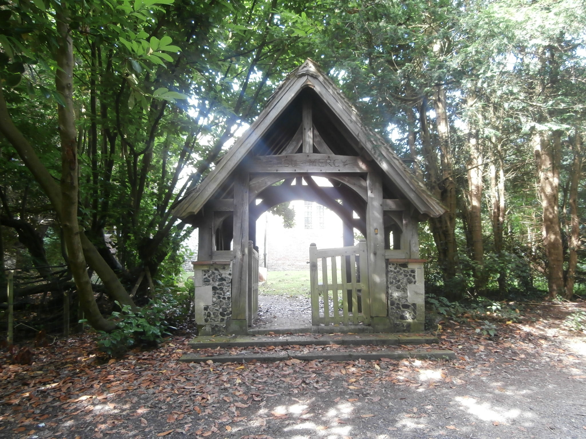
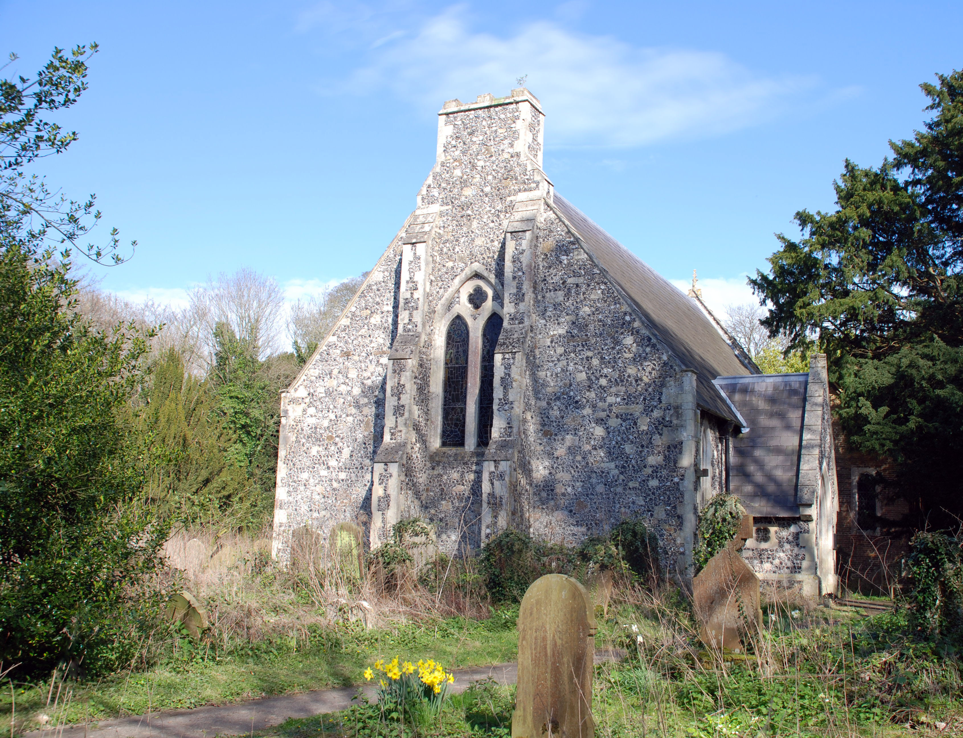
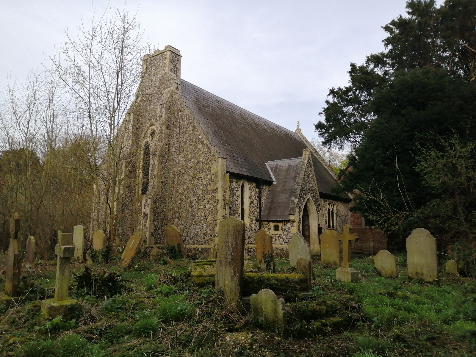
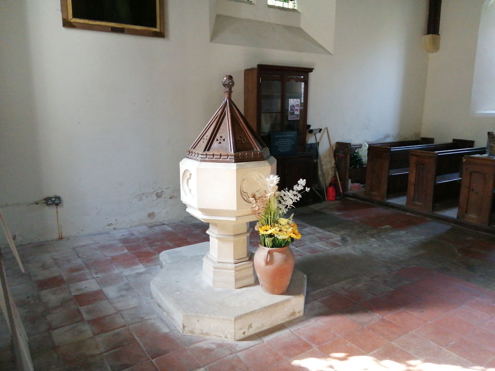
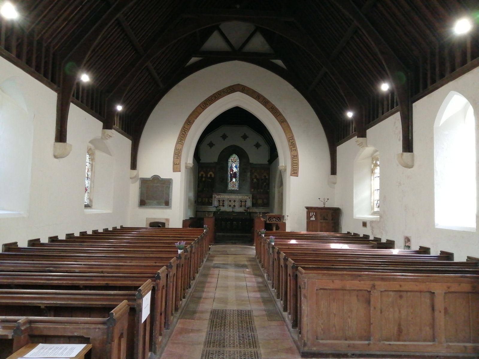
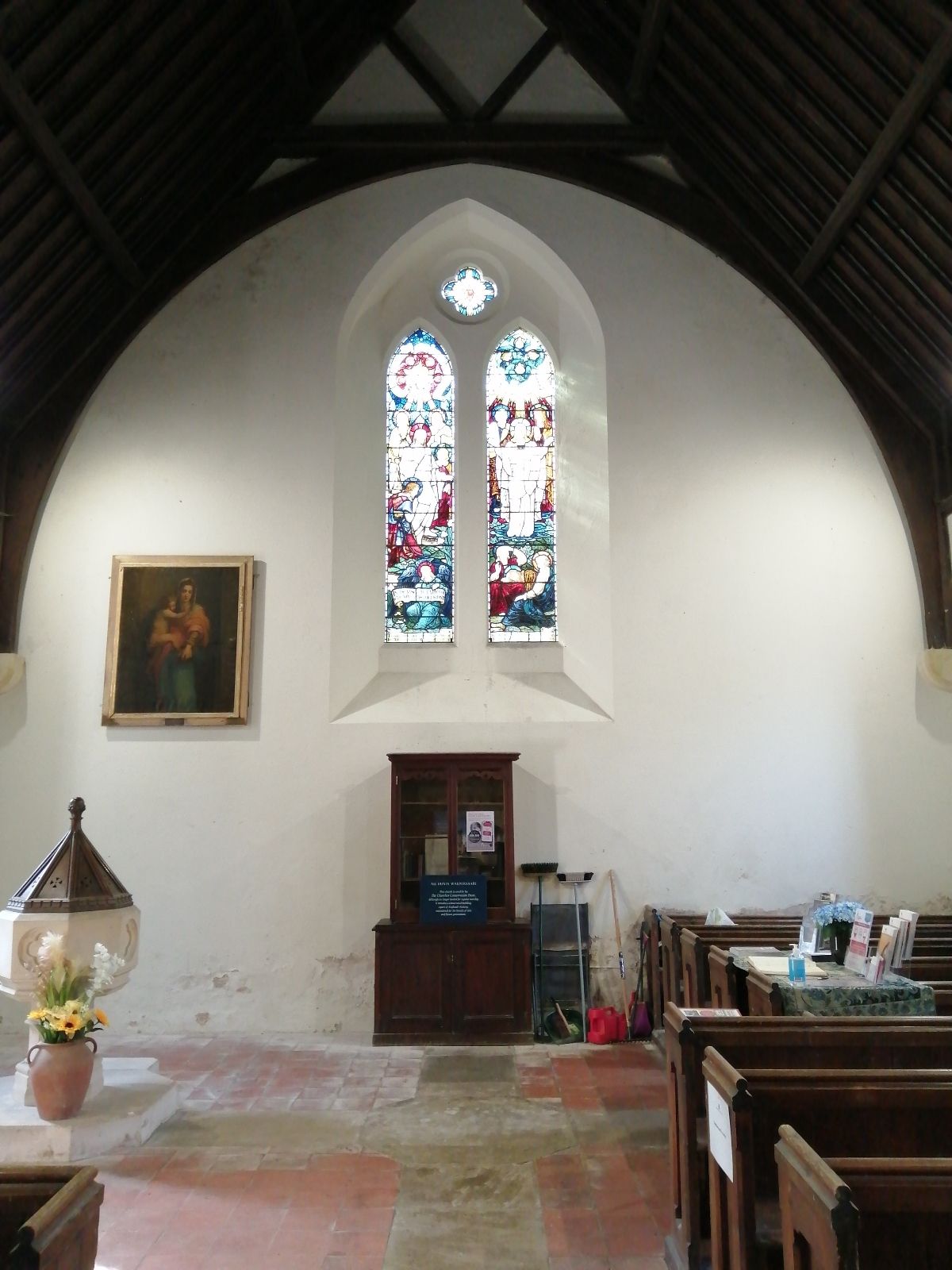
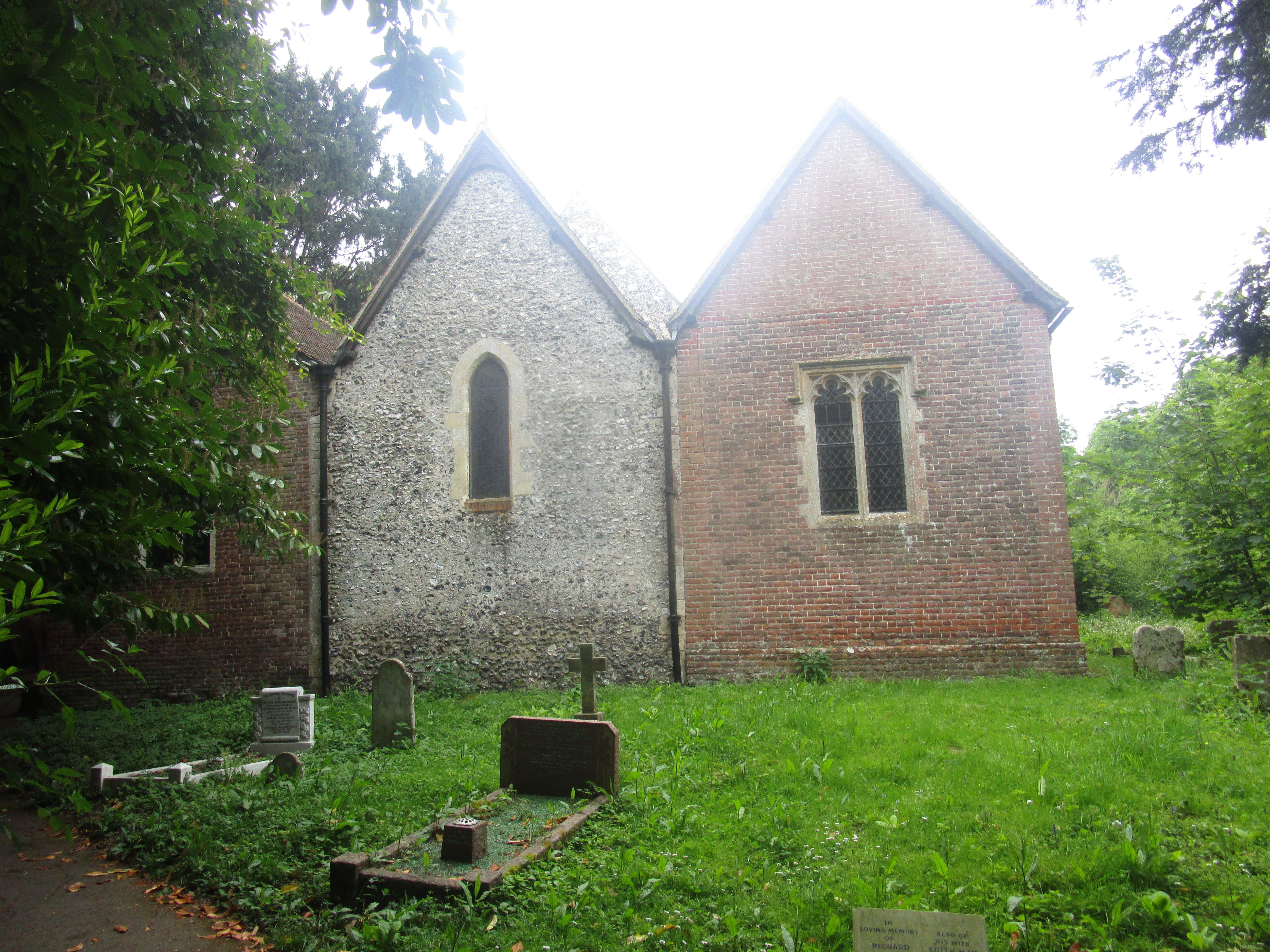
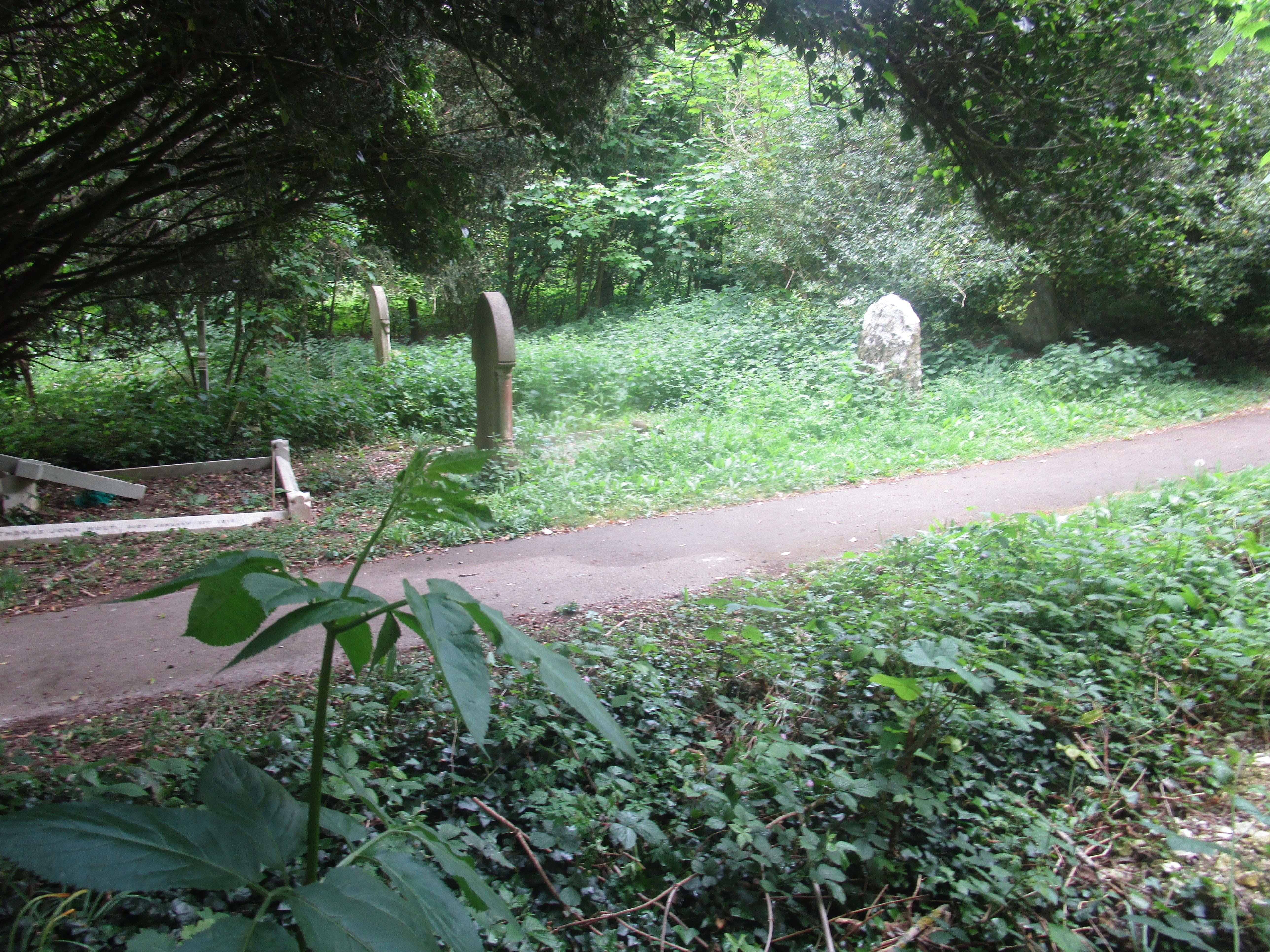
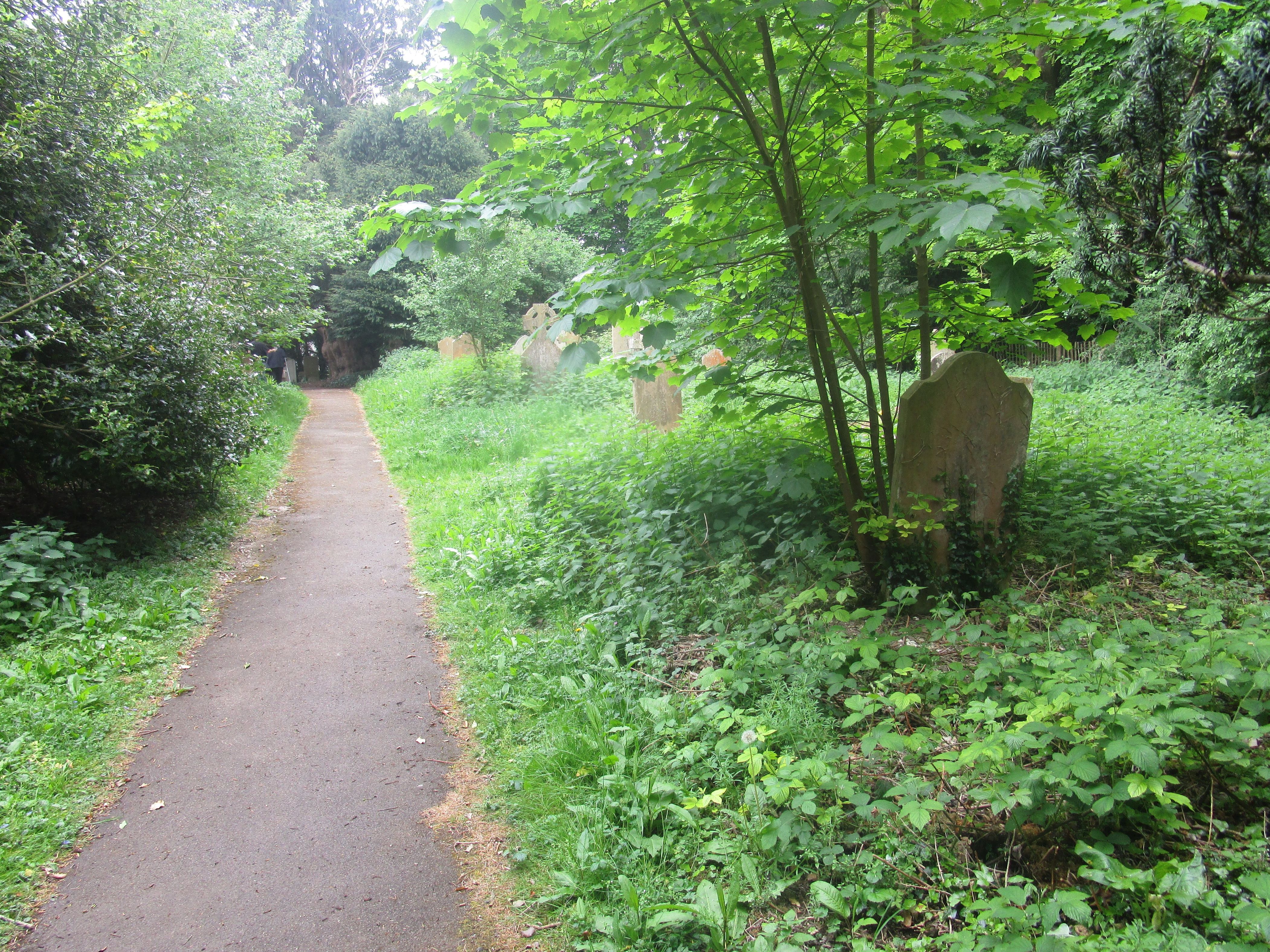
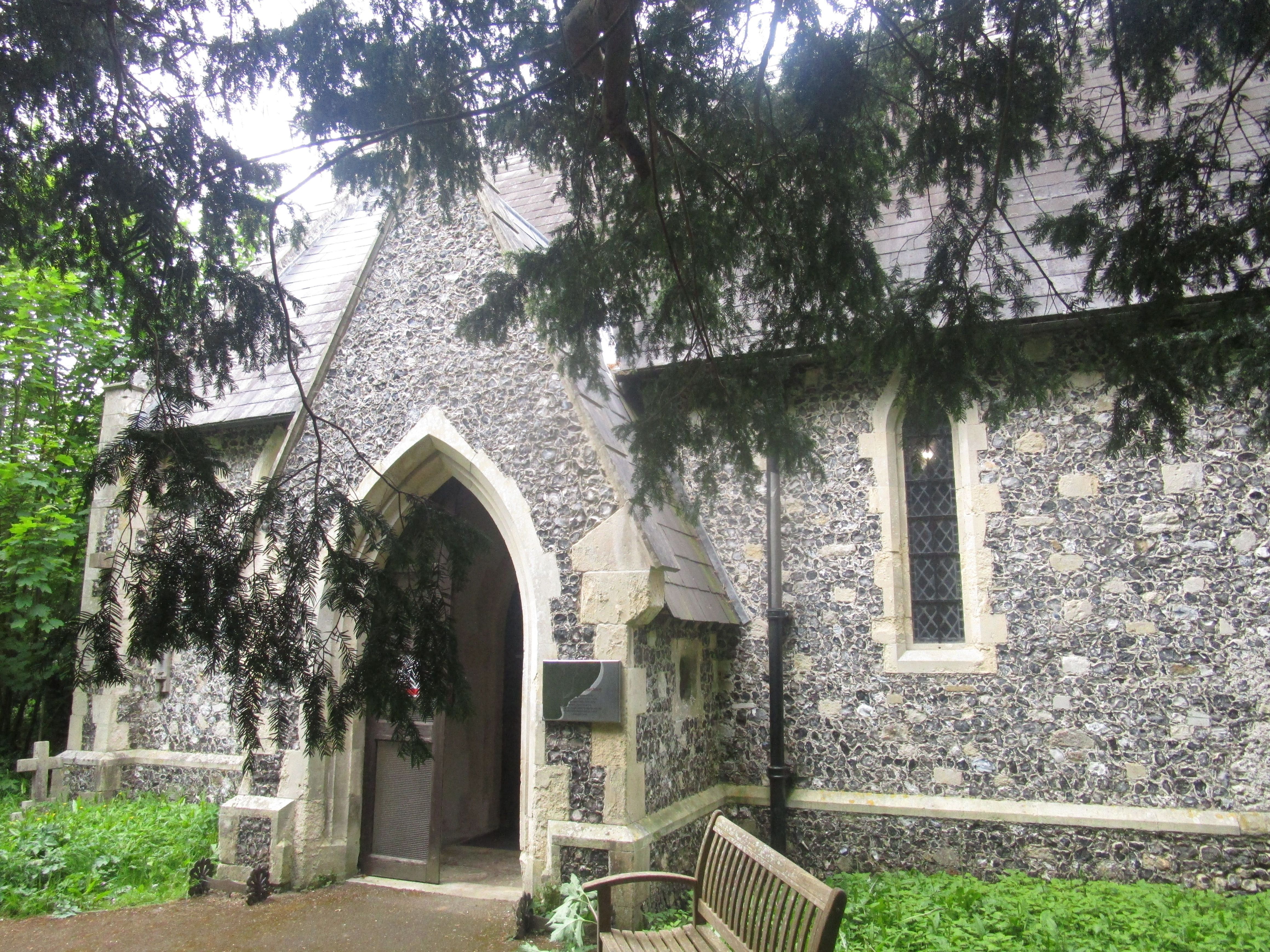
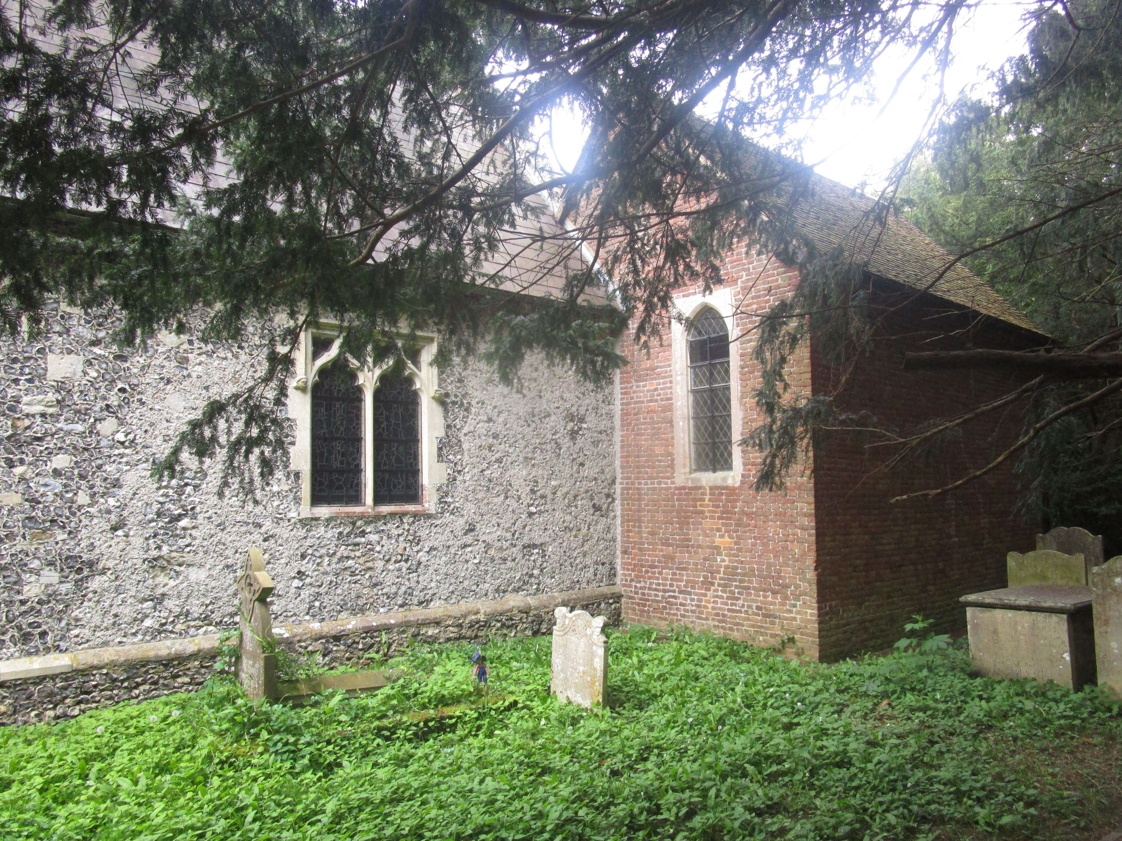
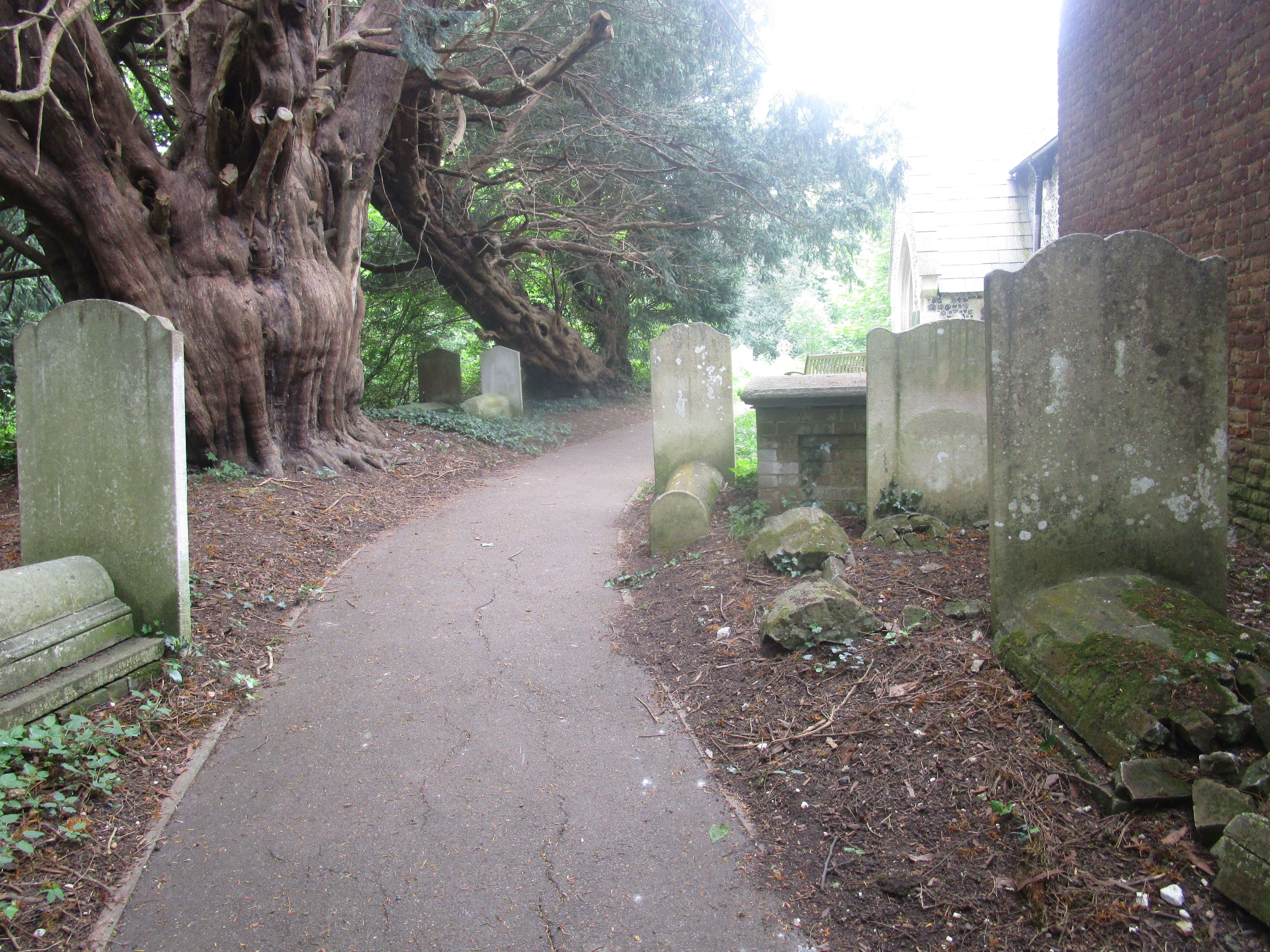
| Description | : | All Saints Church, Waldershare, is a redundant Anglican church in Waldershare, Kent, England. It has been designated by English Heritage as a Grade II* listed building,and is under the care of the Churches Conservation Trust.The church is located 3 miles (4.8 km) north of Dover on the west side of the A256 road. The North Downs Way passes through the churchyard. The church is notable for the memorials in its chapels. The church dates from the 12th century. Mortuary chapels were added in about 1697 and in about 1712. The main part of the church was restored and virtually rebuilt in... Read More |
frequently asked questions (FAQ):
-
Where is All Saints Churchyard?
All Saints Churchyard is located at Sandwich Road Waldershare, Dover District ,Kent , CT15 5ATEngland.
-
All Saints Churchyard cemetery's updated grave count on graveviews.com?
114 memorials
-
Where are the coordinates of the All Saints Churchyard?
Latitude: 51.1875170
Longitude: 1.2857870
Nearby Cemetories:
1. Eythorne Baptist Church Cemetery
Eythorne, Dover District, England
Coordinate: 51.1982330, 1.2661470
2. Saint Peter & Saint Paul Churchyard
Eythorne, Dover District, England
Coordinate: 51.2011990, 1.2616710
3. Saint Pancras Churchyard
Coldred, Dover District, England
Coordinate: 51.1822600, 1.2529260
4. St Peter Churchyard
Whitfield, Dover District, England
Coordinate: 51.1655000, 1.3037000
5. Saint Andrew Churchyard
Tilmanstone, Dover District, England
Coordinate: 51.2159790, 1.2950400
6. Saint Andrew Churchyard
Shepherdswell, Dover District, England
Coordinate: 51.1841500, 1.2358000
7. Saint Nicholas Churchyard
Eythorne, Dover District, England
Coordinate: 51.2055720, 1.2400490
8. St Nicholas’ Barfrestone Church Burial Ground
Eythorne, Dover District, England
Coordinate: 51.2056350, 1.2400870
9. St. Peter and St. Paul Churchyard
Sutton, Dover District, England
Coordinate: 51.1955800, 1.3397700
10. Saint Mary the Virgin Churchyard
Lydden, Dover District, England
Coordinate: 51.1658200, 1.2373050
11. St. Peter and St. Paul's Churchyard
Temple Ewell, Dover District, England
Coordinate: 51.1515565, 1.2675213
12. St Augustine's Church
East Langdon, Dover District, England
Coordinate: 51.1654990, 1.3357270
13. St Mary the Virgin Churchyard
Betteshanger, Dover District, England
Coordinate: 51.2251200, 1.3118800
14. St Peter and St Paul Churchyard
River, Dover District, England
Coordinate: 51.1447480, 1.2733710
15. St Augustine Churchyard
Northbourne, Dover District, England
Coordinate: 51.2221700, 1.3403500
16. St Clement Church
Knowlton, Dover District, England
Coordinate: 51.2348930, 1.2652130
17. St Andrew Churchyard
Buckland, Dover District, England
Coordinate: 51.1373749, 1.2937800
18. St Mary the Virgin Churchyard
Ripple, Dover District, England
Coordinate: 51.2027080, 1.3629570
19. St Martin Churchyard
Great Mongeham, Dover District, England
Coordinate: 51.2145160, 1.3581010
20. Charlton Cemetery
Dover, Dover District, England
Coordinate: 51.1366920, 1.3101200
21. Dover Jewish Cemetery
Dover, Dover District, England
Coordinate: 51.1366310, 1.3106850
22. St Mary the Virgin Churchyard
Nonington, Dover District, England
Coordinate: 51.2258300, 1.2253800
23. St James Cemetery
Dover, Dover District, England
Coordinate: 51.1361389, 1.3146530
24. St Marys New Cemetery
Dover, Dover District, England
Coordinate: 51.1345300, 1.3073700