
| Memorials | : | 3 |
| Location | : | East Langdon, Dover District, England |
| Coordinate | : | 51.1654990, 1.3357270 |
frequently asked questions (FAQ):
-
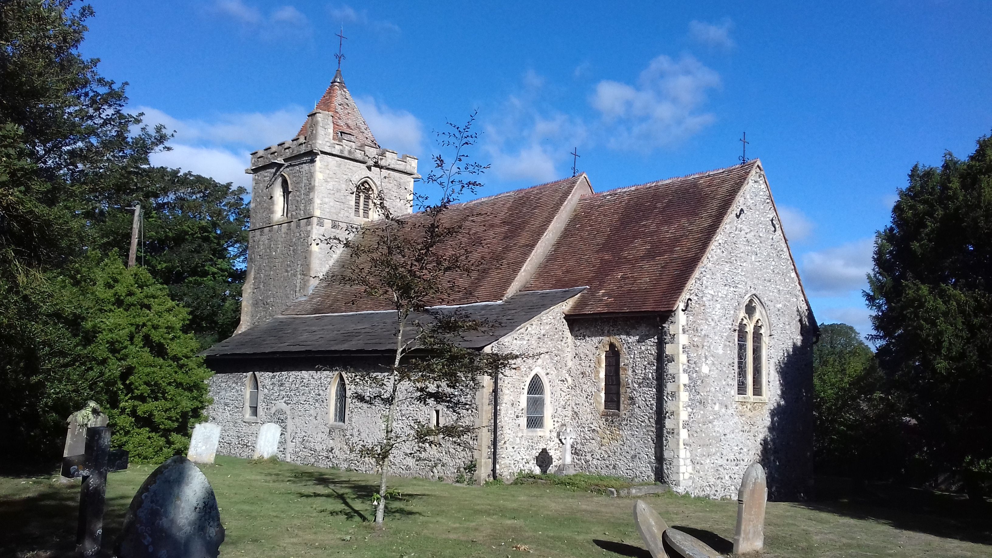
Where is St Augustine's Church?
St Augustine's Church is located at East Langdon, Dover District ,Kent ,England.
-
St Augustine's Church cemetery's updated grave count on graveviews.com?
0 memorials
-
Where are the coordinates of the St Augustine's Church?
Latitude: 51.1654990
Longitude: 1.3357270
Nearby Cemetories:
1. Saint Peters Church
Westcliffe, Dover District, England
Coordinate: 51.1542430, 1.3573340
2. St Peter Churchyard
Whitfield, Dover District, England
Coordinate: 51.1655000, 1.3037000
3. St. Margaret of Antioch Churchyard
St Margarets at Cliffe, Dover District, England
Coordinate: 51.1534950, 1.3714350
4. St. Peter and St. Paul Churchyard
Sutton, Dover District, England
Coordinate: 51.1955800, 1.3397700
5. St. Nicholas' Churchyard
Ringwould, Dover District, England
Coordinate: 51.1853300, 1.3754880
6. St James Cemetery
Dover, Dover District, England
Coordinate: 51.1361389, 1.3146530
7. Dover Jewish Cemetery
Dover, Dover District, England
Coordinate: 51.1366310, 1.3106850
8. Charlton Cemetery
Dover, Dover District, England
Coordinate: 51.1366920, 1.3101200
9. St Marys New Cemetery
Dover, Dover District, England
Coordinate: 51.1345300, 1.3073700
10. St Peter and St Paul Churchyard
Dover, Dover District, England
Coordinate: 51.1331673, 1.3062360
11. St Mary in Castro Churchyard
Dover, Dover District, England
Coordinate: 51.1283490, 1.3232430
12. All Saints Churchyard
Waldershare, Dover District, England
Coordinate: 51.1875170, 1.2857870
13. St Andrew Churchyard
Buckland, Dover District, England
Coordinate: 51.1373749, 1.2937800
14. St Mary the Virgin Churchyard
Ripple, Dover District, England
Coordinate: 51.2027080, 1.3629570
15. St. James Old Churchyard
Dover, Dover District, England
Coordinate: 51.1261340, 1.3177210
16. Dover War Memorial
Dover, Dover District, England
Coordinate: 51.1277847, 1.3091190
17. St Mary the Virgin Churchyard
Dover, Dover District, England
Coordinate: 51.1259842, 1.3127910
18. Dover Priory (Defunct)
Dover, Dover District, England
Coordinate: 51.1258370, 1.3053770
19. St Peter and St Paul Churchyard
River, Dover District, England
Coordinate: 51.1447480, 1.2733710
20. Cowgate Cemetery
Dover, Dover District, England
Coordinate: 51.1237970, 1.3101560
21. St. Peter and St. Paul's Churchyard
Temple Ewell, Dover District, England
Coordinate: 51.1515565, 1.2675213
22. St John the Evangelist Churchyard
Deal, Dover District, England
Coordinate: 51.1862200, 1.4016700
23. St John Churchyard
Kingsdown, Dover District, England
Coordinate: 51.1860700, 1.4023200
24. Old St Mary's Churchyard
Walmer, Dover District, England
Coordinate: 51.2032261, 1.3870063