
| Memorials | : | 19 |
| Location | : | Eythorne, Dover District, England |
| Coordinate | : | 51.2056350, 1.2400870 |
frequently asked questions (FAQ):
-
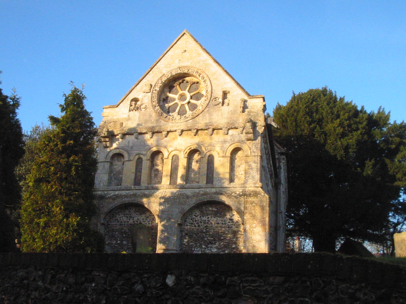
Where is St Nicholas’ Barfrestone Church Burial Ground?
St Nicholas’ Barfrestone Church Burial Ground is located at Barfrestone Road Eythorne, Dover District ,Kent , CT15 7JHEngland.
-
St Nicholas’ Barfrestone Church Burial Ground cemetery's updated grave count on graveviews.com?
19 memorials
-
Where are the coordinates of the St Nicholas’ Barfrestone Church Burial Ground?
Latitude: 51.2056350
Longitude: 1.2400870
Nearby Cemetories:
1. Saint Nicholas Churchyard
Eythorne, Dover District, England
Coordinate: 51.2055720, 1.2400490
2. Saint Peter & Saint Paul Churchyard
Eythorne, Dover District, England
Coordinate: 51.2011990, 1.2616710
3. Eythorne Baptist Church Cemetery
Eythorne, Dover District, England
Coordinate: 51.1982330, 1.2661470
4. Saint Andrew Churchyard
Shepherdswell, Dover District, England
Coordinate: 51.1841500, 1.2358000
5. St Mary the Virgin Churchyard
Nonington, Dover District, England
Coordinate: 51.2258300, 1.2253800
6. Saint Pancras Churchyard
Coldred, Dover District, England
Coordinate: 51.1822600, 1.2529260
7. St Margaret of Antioch Churchyard
Womenswold, City of Canterbury, England
Coordinate: 51.2109850, 1.1878090
8. St Clement Church
Knowlton, Dover District, England
Coordinate: 51.2348930, 1.2652130
9. All Saints Churchyard
Waldershare, Dover District, England
Coordinate: 51.1875170, 1.2857870
10. Saint Andrew Churchyard
Tilmanstone, Dover District, England
Coordinate: 51.2159790, 1.2950400
11. Barham Crematorium
Barham, City of Canterbury, England
Coordinate: 51.1972610, 1.1800310
12. Aylesham Cemetery
Aylesham, Dover District, England
Coordinate: 51.2126910, 1.1781980
13. Saint Mary the Virgin Churchyard
Lydden, Dover District, England
Coordinate: 51.1658200, 1.2373050
14. Holy Cross
Goodnestone, Dover District, England
Coordinate: 51.2457190, 1.2290550
15. St John the Baptist Church Cemetery
Barham, City of Canterbury, England
Coordinate: 51.2056600, 1.1629900
16. St John the Baptist Churchyard
Barham, City of Canterbury, England
Coordinate: 51.2065410, 1.1620830
17. St Mary the Virgin Churchyard
Betteshanger, Dover District, England
Coordinate: 51.2251200, 1.3118800
18. Holy Innocents Churchyard
Adisham, City of Canterbury, England
Coordinate: 51.2440380, 1.1903320
19. St Mary Magdalene Churchyard
Denton, Dover District, England
Coordinate: 51.1767118, 1.1694535
20. St Peter Churchyard
Whitfield, Dover District, England
Coordinate: 51.1655000, 1.3037000
21. St. Peter and St. Paul's Churchyard
Temple Ewell, Dover District, England
Coordinate: 51.1515565, 1.2675213
22. St James the Great Churchyard
Staple, Dover District, England
Coordinate: 51.2636300, 1.2515200
23. St Mary the Virgin Churchyard
Eastry, Dover District, England
Coordinate: 51.2453000, 1.3100000
24. St. Giles Churchyard
Kingston, City of Canterbury, England
Coordinate: 51.2181750, 1.1463980