| Memorials | : | 0 |
| Location | : | Betteshanger, Dover District, England |
| Coordinate | : | 51.2251200, 1.3118800 |
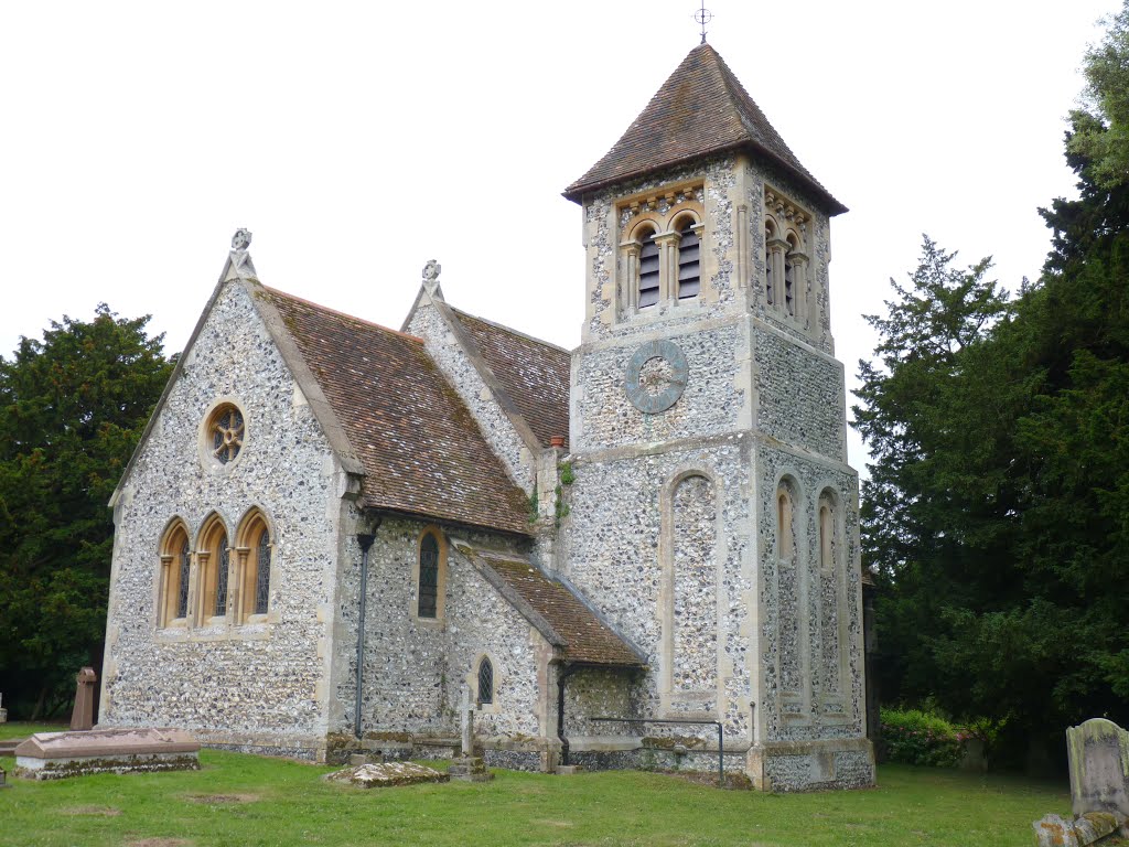
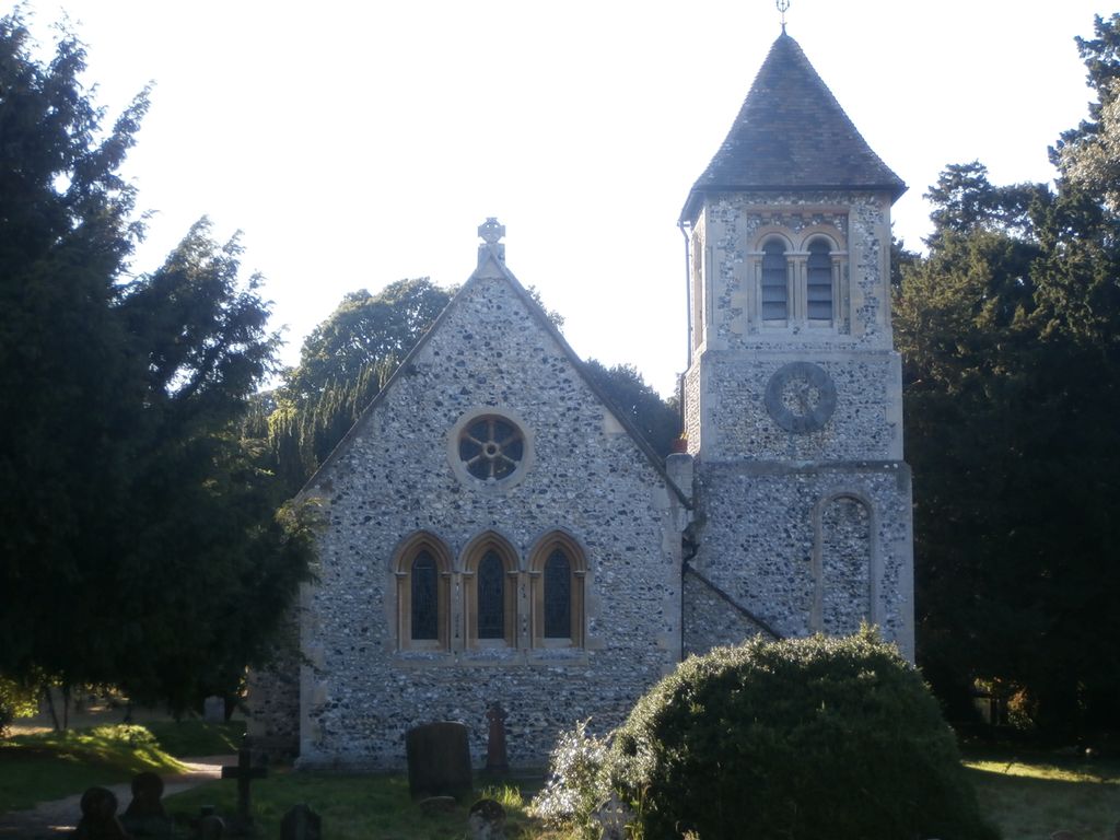
| Description | : | Betteshanger is located east of A256 (Ramsgate to Dover Rd.); abt 2 miles directly west of Deal; about one and half miles from Tilmanstone. The Church of St. Mary the Virgin, Betteshanger, Dover District, Kent County, England is located well away from the main road at the edge of Northbourne Park. The church is a Victorian reconstruction originally commissioned by Lord NORTHBOURNE in 1853. The tower, tacked onto the North side of the Church is gone which may have been removed during the restoration work in 1987 when a 350 year-old yew fell across the Church causing considerable damage to the... Read More |
frequently asked questions (FAQ):
-
Where is St Mary the Virgin Churchyard?
St Mary the Virgin Churchyard is located at Betteshanger, Dover District ,Kent , CT14England.
-
St Mary the Virgin Churchyard cemetery's updated grave count on graveviews.com?
0 memorials
-
Where are the coordinates of the St Mary the Virgin Churchyard?
Latitude: 51.2251200
Longitude: 1.3118800
Nearby Cemetories:
1. Saint Andrew Churchyard
Tilmanstone, Dover District, England
Coordinate: 51.2159790, 1.2950400
2. St Augustine Churchyard
Northbourne, Dover District, England
Coordinate: 51.2221700, 1.3403500
3. St Mary the Virgin Churchyard
Eastry, Dover District, England
Coordinate: 51.2453000, 1.3100000
4. Church of Saint George at Ham
Eastry, Dover District, England
Coordinate: 51.2444830, 1.3319350
5. St Clement Church
Knowlton, Dover District, England
Coordinate: 51.2348930, 1.2652130
6. St Martin Churchyard
Great Mongeham, Dover District, England
Coordinate: 51.2145160, 1.3581010
7. St. Peter and St. Paul Churchyard
Sutton, Dover District, England
Coordinate: 51.1955800, 1.3397700
8. Saint Mary The Virgin Churchyard
Woodnesborough, Dover District, England
Coordinate: 51.2628240, 1.3073810
9. St Mary the Virgin Churchyard
Ripple, Dover District, England
Coordinate: 51.2027080, 1.3629570
10. Eythorne Baptist Church Cemetery
Eythorne, Dover District, England
Coordinate: 51.1982330, 1.2661470
11. Saint Peter & Saint Paul Churchyard
Eythorne, Dover District, England
Coordinate: 51.2011990, 1.2616710
12. All Saints Churchyard
Waldershare, Dover District, England
Coordinate: 51.1875170, 1.2857870
13. St. Nicholas Churchyard
Sholden, Dover District, England
Coordinate: 51.2198600, 1.3769300
14. St Leonard Churchyard
Deal, Dover District, England
Coordinate: 51.2169940, 1.3817700
15. St Nicholas’ Barfrestone Church Burial Ground
Eythorne, Dover District, England
Coordinate: 51.2056350, 1.2400870
16. Saint Nicholas Churchyard
Eythorne, Dover District, England
Coordinate: 51.2055720, 1.2400490
17. Hamilton Road Cemetery
Deal, Dover District, England
Coordinate: 51.2140870, 1.3923380
18. Old St Mary's Churchyard
Walmer, Dover District, England
Coordinate: 51.2032261, 1.3870063
19. St Clement's Church
Sandwich, Dover District, England
Coordinate: 51.2736510, 1.3427270
20. St. Peter's Churchyard
Sandwich, Dover District, England
Coordinate: 51.2747680, 1.3405120
21. St James the Great Churchyard
Staple, Dover District, England
Coordinate: 51.2636300, 1.2515200
22. St Mary the Virgin Churchyard
Nonington, Dover District, England
Coordinate: 51.2258300, 1.2253800
23. St .Mary's Churchyard
Sandwich, Dover District, England
Coordinate: 51.2771930, 1.3386580
24. Holy Cross
Goodnestone, Dover District, England
Coordinate: 51.2457190, 1.2290550


