
| Memorials | : | 4 |
| Location | : | Godshill, Isle of Wight Unitary Authority, England |
| Coordinate | : | 50.6336900, -1.2558300 |
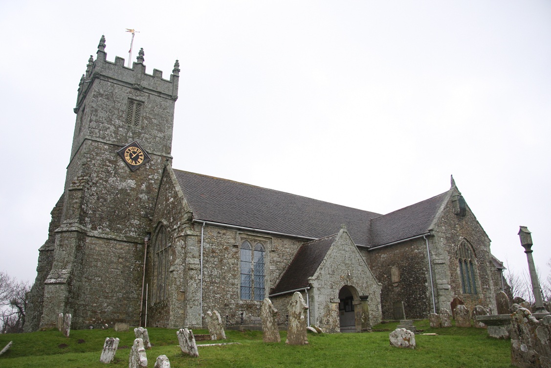
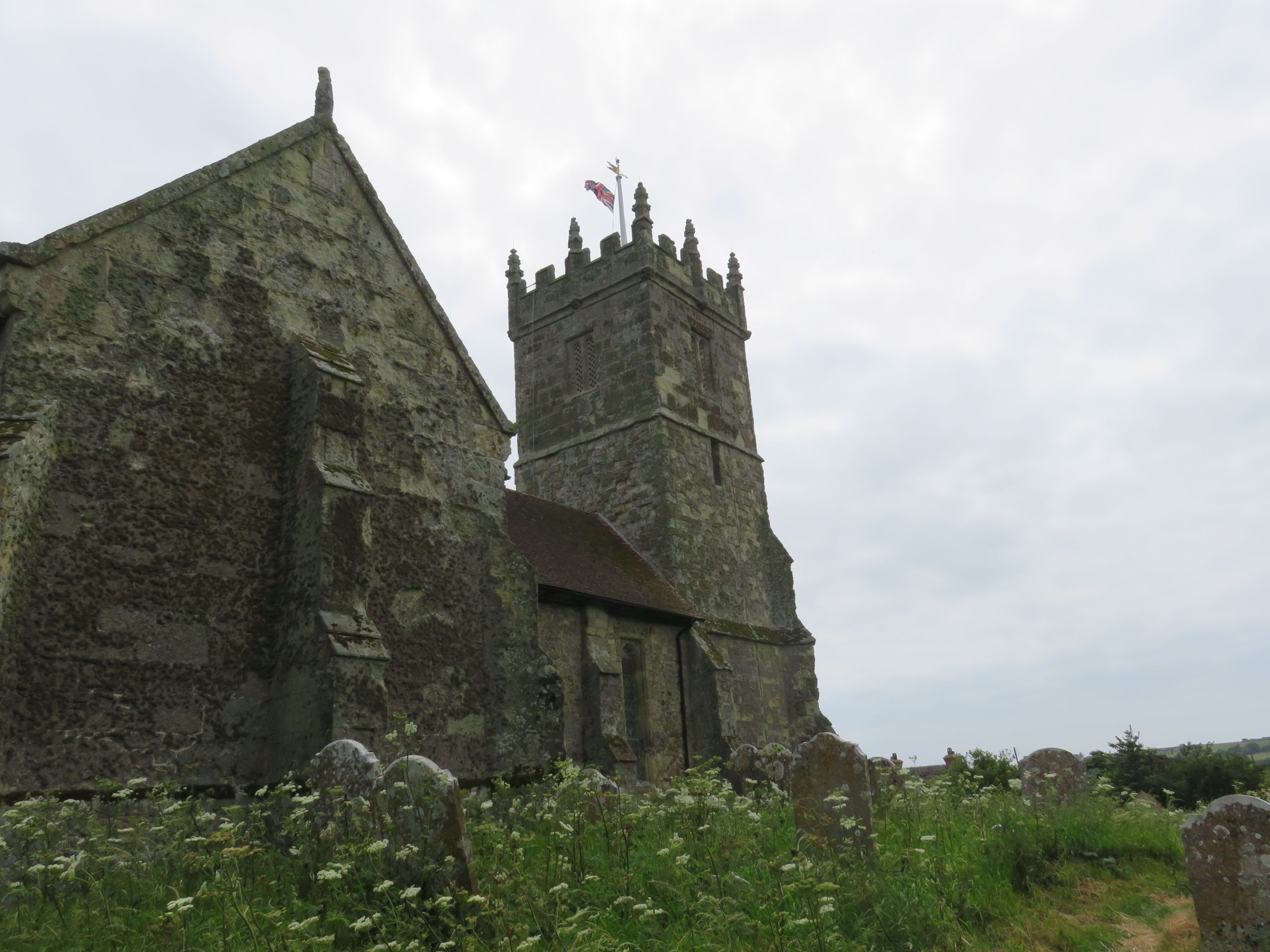
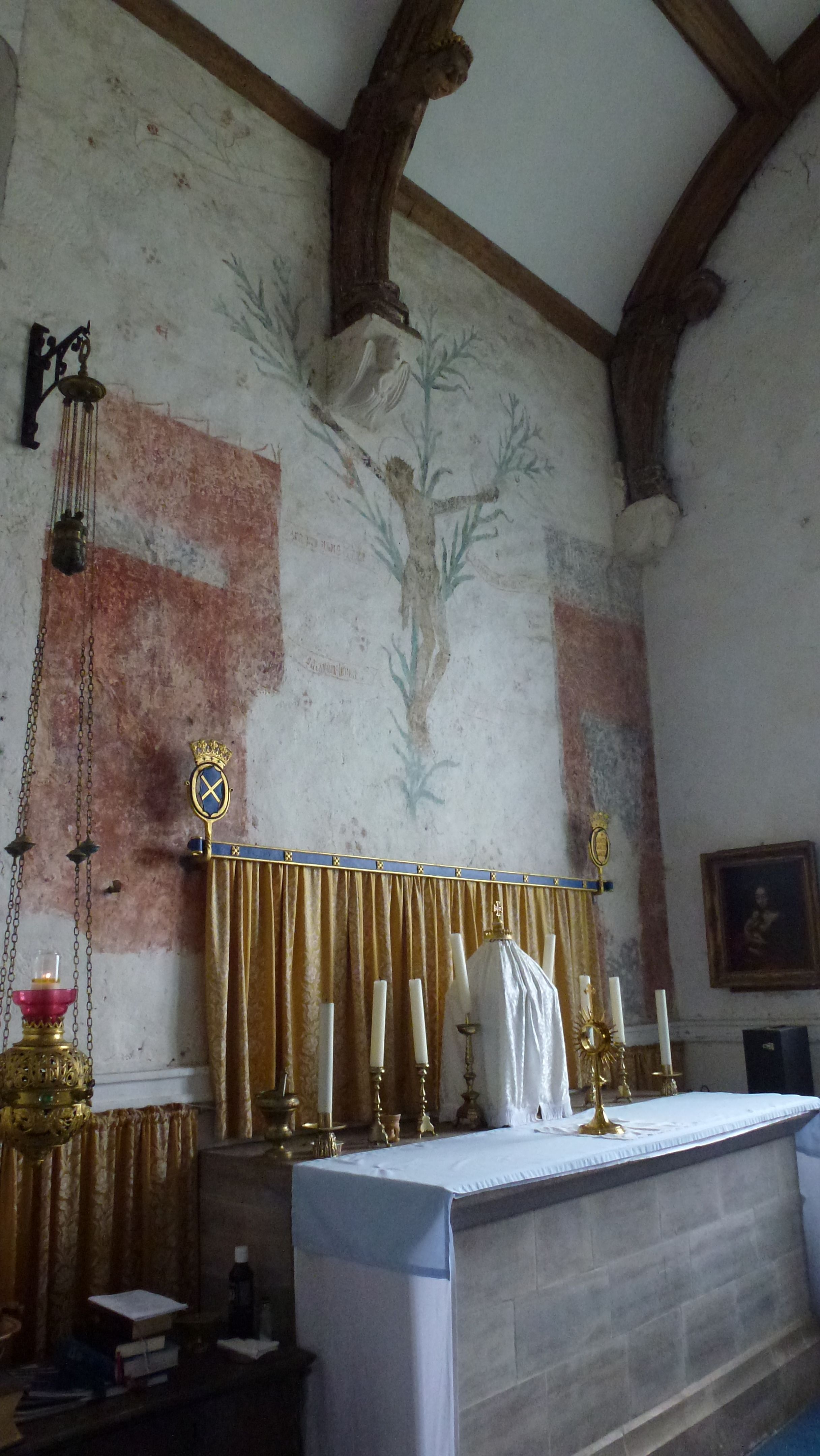
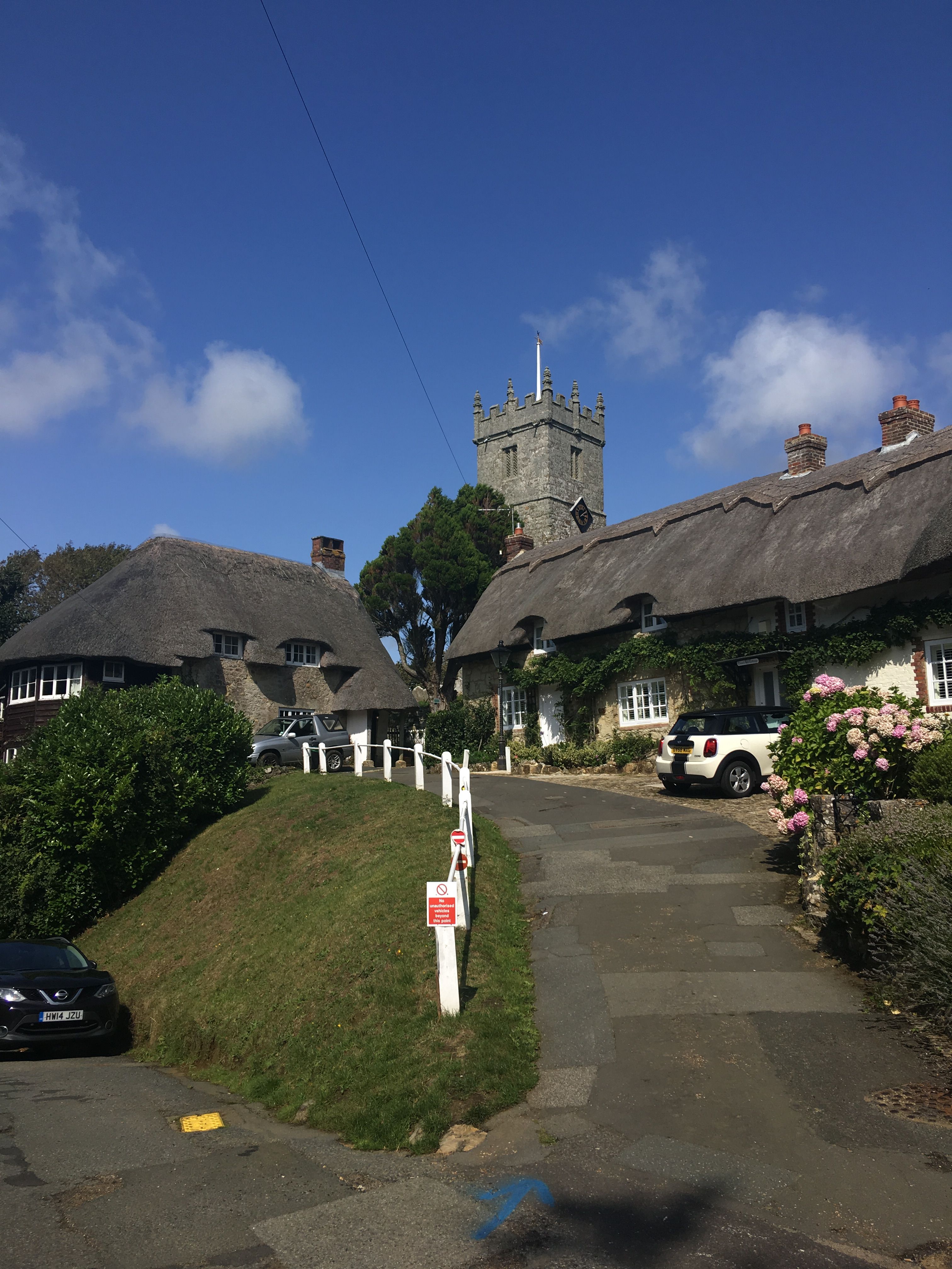
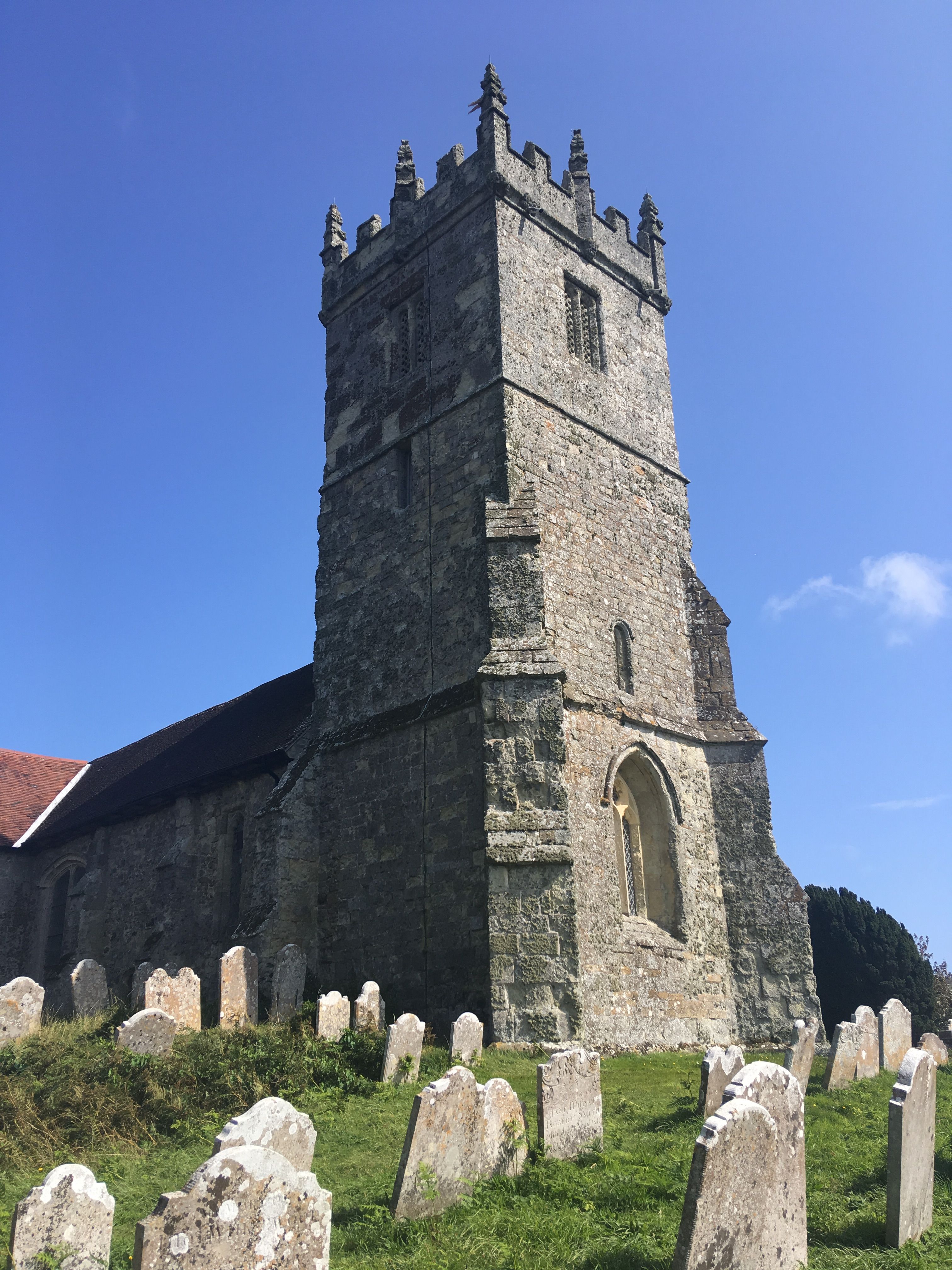
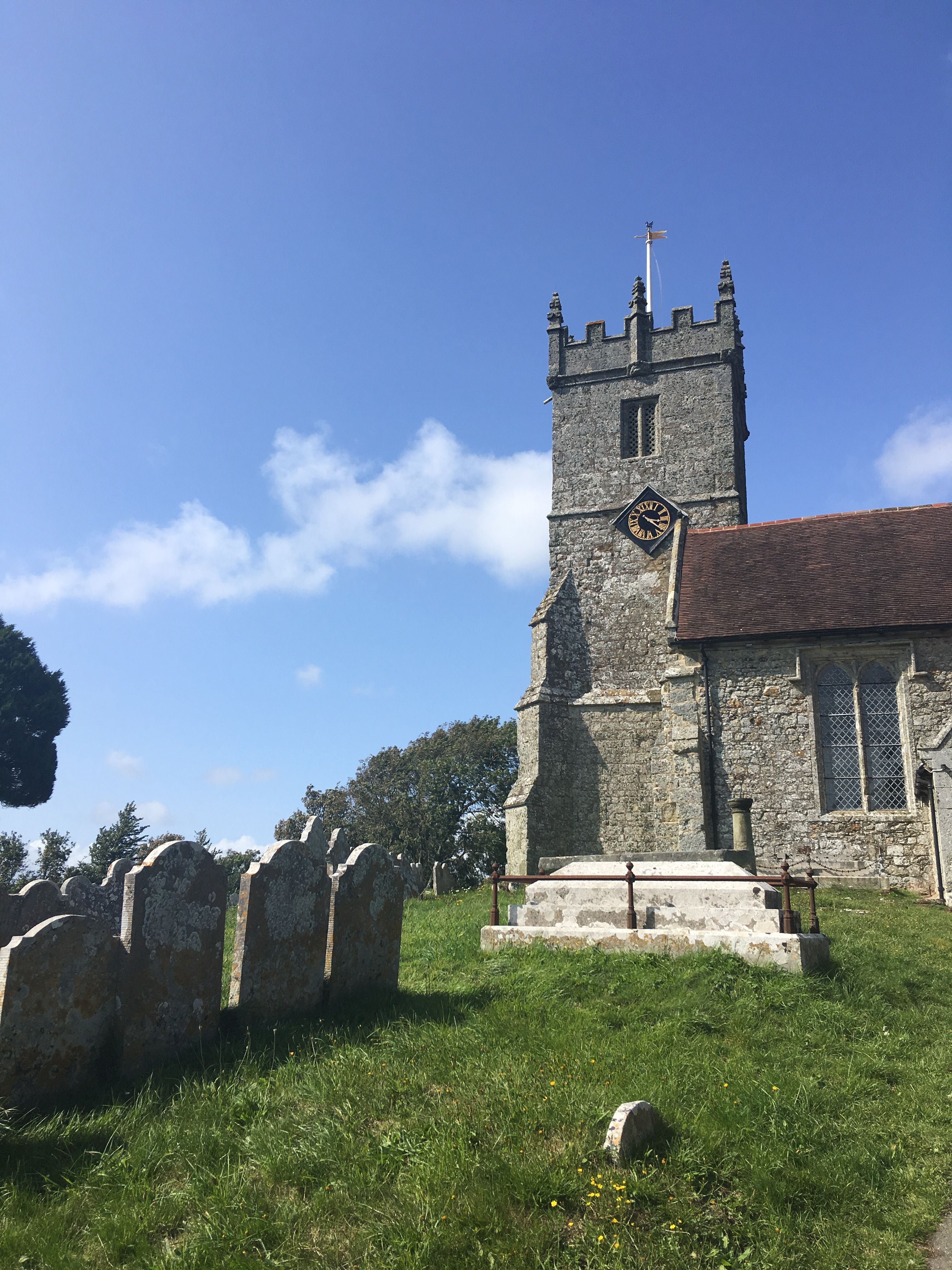
| Description | : | According to historians, the first church was build in the reign of King Edward the Confessor, sometime between 1042 and 1066, which means that there has been a church on the site for over 950 years. It would have been this church which was granted with the manor of Godshill shortley after the Conquest by William Fitz-Osborn to the Abbey of Lire in Normandy, which was held by the Prior of Carisbrooke, and under that Abbey until the Suppression of the alien monasteries in Henry V's reign, when it was given to the Carthusians at Sheen, Surrey. Of the Saxon... Read More |
frequently asked questions (FAQ):
-
Where is All Saints Churchyard?
All Saints Churchyard is located at Church Hill Godshill, Isle of Wight Unitary Authority ,Isle of Wight , PO38 3HYEngland.
-
All Saints Churchyard cemetery's updated grave count on graveviews.com?
3 memorials
-
Where are the coordinates of the All Saints Churchyard?
Latitude: 50.6336900
Longitude: -1.2558300
Nearby Cemetories:
1. Billingham Manor
Newport, Isle of Wight Unitary Authority, England
Coordinate: 50.6347663, -1.3140535
2. Whitwell New Burial Ground
Whitwell, Isle of Wight Unitary Authority, England
Coordinate: 50.5943366, -1.2689275
3. St Olave's Churchyard
Gatcombe, Isle of Wight Unitary Authority, England
Coordinate: 50.6636110, -1.3041670
4. Old Church of St Lawrence
Ventnor, Isle of Wight Unitary Authority, England
Coordinate: 50.5871078, -1.2438191
5. Parish Church of St. Lawrence
Ventnor, Isle of Wight Unitary Authority, England
Coordinate: 50.5858807, -1.2436714
6. Niton Baptist Church
Ventnor, Isle of Wight Unitary Authority, England
Coordinate: 50.5850100, -1.2864900
7. Shanklin Cemetery
Sandown, Isle of Wight Unitary Authority, England
Coordinate: 50.6445083, -1.1742694
8. Shanklin Cemetery
Shanklin, Isle of Wight Unitary Authority, England
Coordinate: 50.6441740, -1.1738343
9. Lake Cemetery
Lake, Isle of Wight Unitary Authority, England
Coordinate: 50.6498713, -1.1734786
10. St Boniface Bonchurch Churchyard
Bonchurch, Isle of Wight Unitary Authority, England
Coordinate: 50.6000880, -1.1867990
11. St Boniface Old Churchyard
Bonchurch, Isle of Wight Unitary Authority, England
Coordinate: 50.5988889, -1.1850000
12. Carisbrooke Priory
Carisbrooke, Isle of Wight Unitary Authority, England
Coordinate: 50.6859710, -1.3070000
13. Christ Churchyard
Sandown, Isle of Wight Unitary Authority, England
Coordinate: 50.6521319, -1.1621056
14. St Peter New Churchyard
Shorwell, Isle of Wight Unitary Authority, England
Coordinate: 50.6433100, -1.3541400
15. St Peter's Parish Church
Shorwell, Isle of Wight Unitary Authority, England
Coordinate: 50.6449290, -1.3545580
16. Carisbrooke Cemetery
Carisbrooke, Isle of Wight Unitary Authority, England
Coordinate: 50.6882160, -1.3083040
17. St Thomas Church
Newport, Isle of Wight Unitary Authority, England
Coordinate: 50.6997610, -1.2940130
18. Newport Cemetery
Newport, Isle of Wight Unitary Authority, England
Coordinate: 50.7041360, -1.2887540
19. St Paul's Cemetery
Newport, Isle of Wight Unitary Authority, England
Coordinate: 50.7072300, -1.2827400
20. Parkhurst Military Cemetery
Newport, Isle of Wight Unitary Authority, England
Coordinate: 50.7084440, -1.3044120
21. Isle of Wight Workhouse Burial Ground
Carisbrooke, Isle of Wight Unitary Authority, England
Coordinate: 50.7112150, -1.2979810
22. St Peter's
Havenstreet, Isle of Wight Unitary Authority, England
Coordinate: 50.7095580, -1.2063290
23. St Mary the Virgin Churchyard
Brading, Isle of Wight Unitary Authority, England
Coordinate: 50.6824400, -1.1429600
24. Parkhurst Prison Cemetery
Newport, Isle of Wight Unitary Authority, England
Coordinate: 50.7152100, -1.3082790