
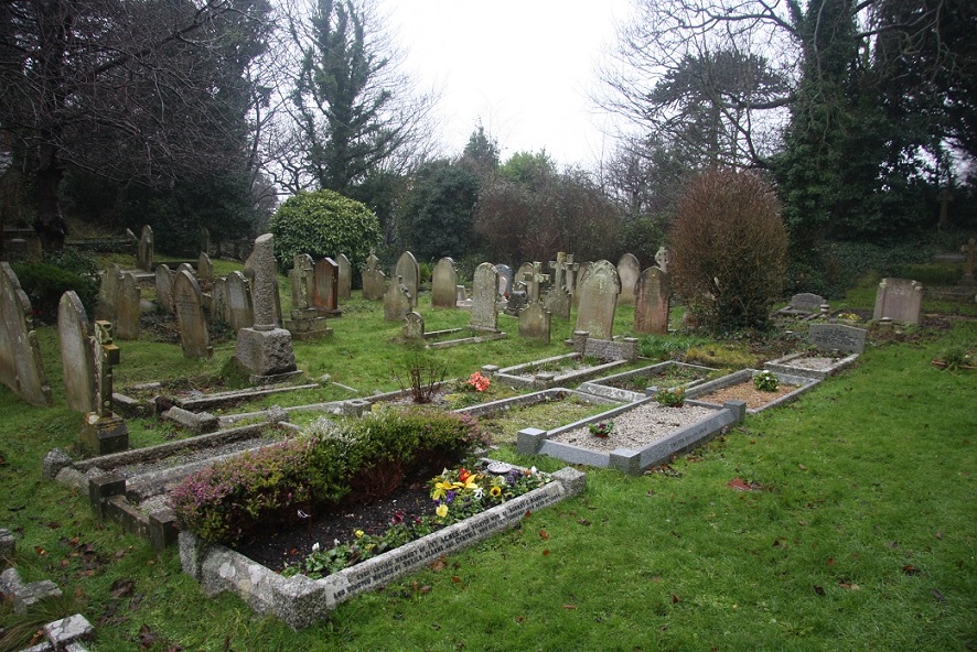
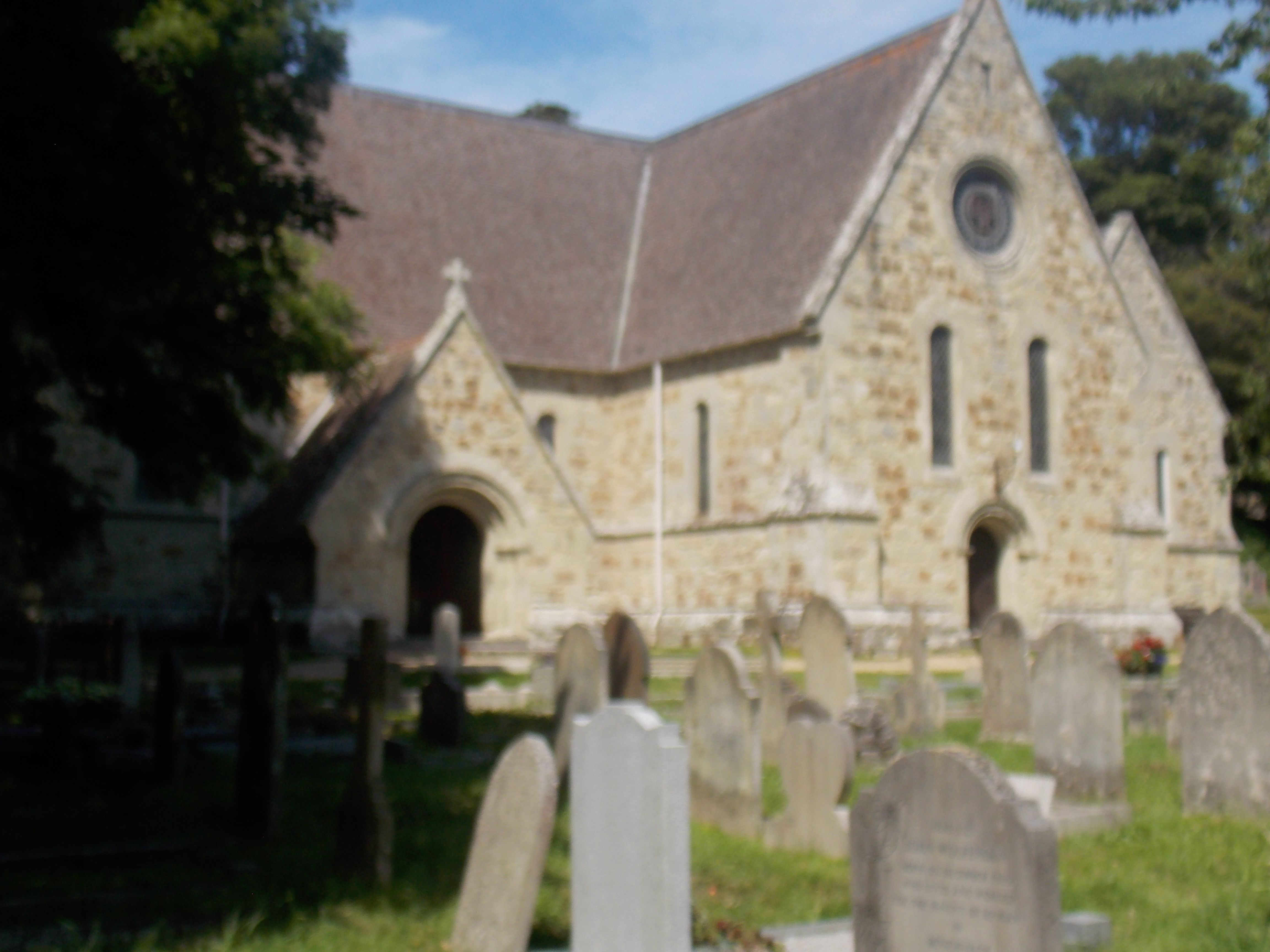
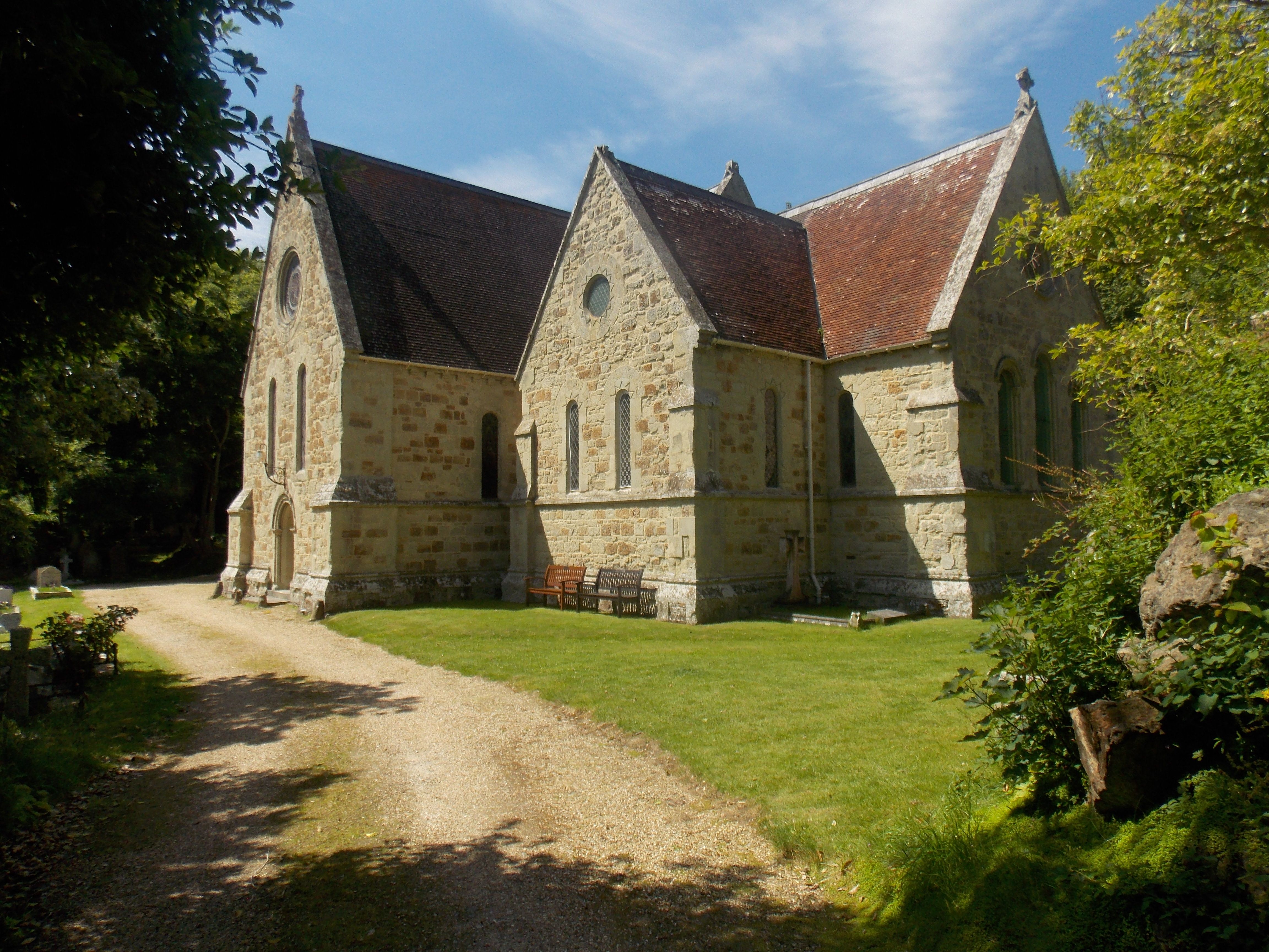
| Memorials | : | 0 |
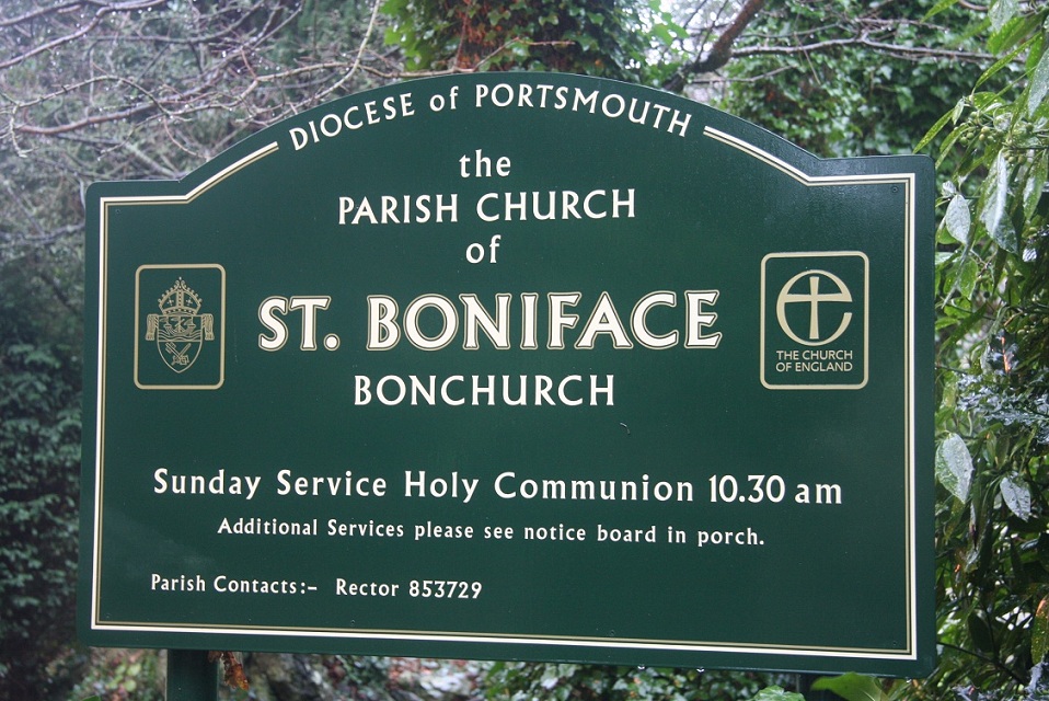
| Location | : | Bonchurch, Isle of Wight Unitary Authority, England |
| Coordinate | : | 50.6000880, -1.1867990 |
frequently asked questions (FAQ):
-
Where is St Boniface Bonchurch Churchyard?
St Boniface Bonchurch Churchyard is located at Bonchurch, Isle of Wight Unitary Authority ,Isle of Wight ,England.
-
St Boniface Bonchurch Churchyard cemetery's updated grave count on graveviews.com?
0 memorials
-
Where are the coordinates of the St Boniface Bonchurch Churchyard?
Latitude: 50.6000880
Longitude: -1.1867990


Nearby Cemetories:
1. St Boniface Old Churchyard
Bonchurch, Isle of Wight Unitary Authority, England
Coordinate: 50.5988889, -1.1850000
2. Old Church of St Lawrence
Ventnor, Isle of Wight Unitary Authority, England
Coordinate: 50.5871078, -1.2438191
3. Parish Church of St. Lawrence
Ventnor, Isle of Wight Unitary Authority, England
Coordinate: 50.5858807, -1.2436714
4. Shanklin Cemetery
Shanklin, Isle of Wight Unitary Authority, England
Coordinate: 50.6441740, -1.1738343
5. Shanklin Cemetery
Sandown, Isle of Wight Unitary Authority, England
Coordinate: 50.6445083, -1.1742694
6. Lake Cemetery
Lake, Isle of Wight Unitary Authority, England
Coordinate: 50.6498713, -1.1734786
7. Whitwell New Burial Ground
Whitwell, Isle of Wight Unitary Authority, England
Coordinate: 50.5943366, -1.2689275
8. Christ Churchyard
Sandown, Isle of Wight Unitary Authority, England
Coordinate: 50.6521319, -1.1621056
9. All Saints Churchyard
Godshill, Isle of Wight Unitary Authority, England
Coordinate: 50.6336900, -1.2558300
10. Niton Baptist Church
Ventnor, Isle of Wight Unitary Authority, England
Coordinate: 50.5850100, -1.2864900
11. St Mary the Virgin Churchyard
Brading, Isle of Wight Unitary Authority, England
Coordinate: 50.6824400, -1.1429600
12. Billingham Manor
Newport, Isle of Wight Unitary Authority, England
Coordinate: 50.6347663, -1.3140535
13. St Olave's Churchyard
Gatcombe, Isle of Wight Unitary Authority, England
Coordinate: 50.6636110, -1.3041670
14. Lane End Cemetery
Bembridge, Isle of Wight Unitary Authority, England
Coordinate: 50.6863554, -1.0809575
15. St Peter's
Havenstreet, Isle of Wight Unitary Authority, England
Coordinate: 50.7095580, -1.2063290
16. St Peter New Churchyard
Shorwell, Isle of Wight Unitary Authority, England
Coordinate: 50.6433100, -1.3541400
17. Carisbrooke Priory
Carisbrooke, Isle of Wight Unitary Authority, England
Coordinate: 50.6859710, -1.3070000
18. St Peter's Parish Church
Shorwell, Isle of Wight Unitary Authority, England
Coordinate: 50.6449290, -1.3545580
19. Carisbrooke Cemetery
Carisbrooke, Isle of Wight Unitary Authority, England
Coordinate: 50.6882160, -1.3083040
20. St. Johns Churchyard
Ryde, Isle of Wight Unitary Authority, England
Coordinate: 50.7149770, -1.1482370
21. St Thomas Church
Newport, Isle of Wight Unitary Authority, England
Coordinate: 50.6997610, -1.2940130
22. Newport Cemetery
Newport, Isle of Wight Unitary Authority, England
Coordinate: 50.7041360, -1.2887540
23. St Paul's Cemetery
Newport, Isle of Wight Unitary Authority, England
Coordinate: 50.7072300, -1.2827400
24. Ryde Cemetery
Ryde, Isle of Wight Unitary Authority, England
Coordinate: 50.7249730, -1.1668550