| Memorials | : | 3 |
| Location | : | Ventnor, Isle of Wight Unitary Authority, England |
| Coordinate | : | 50.5871078, -1.2438191 |
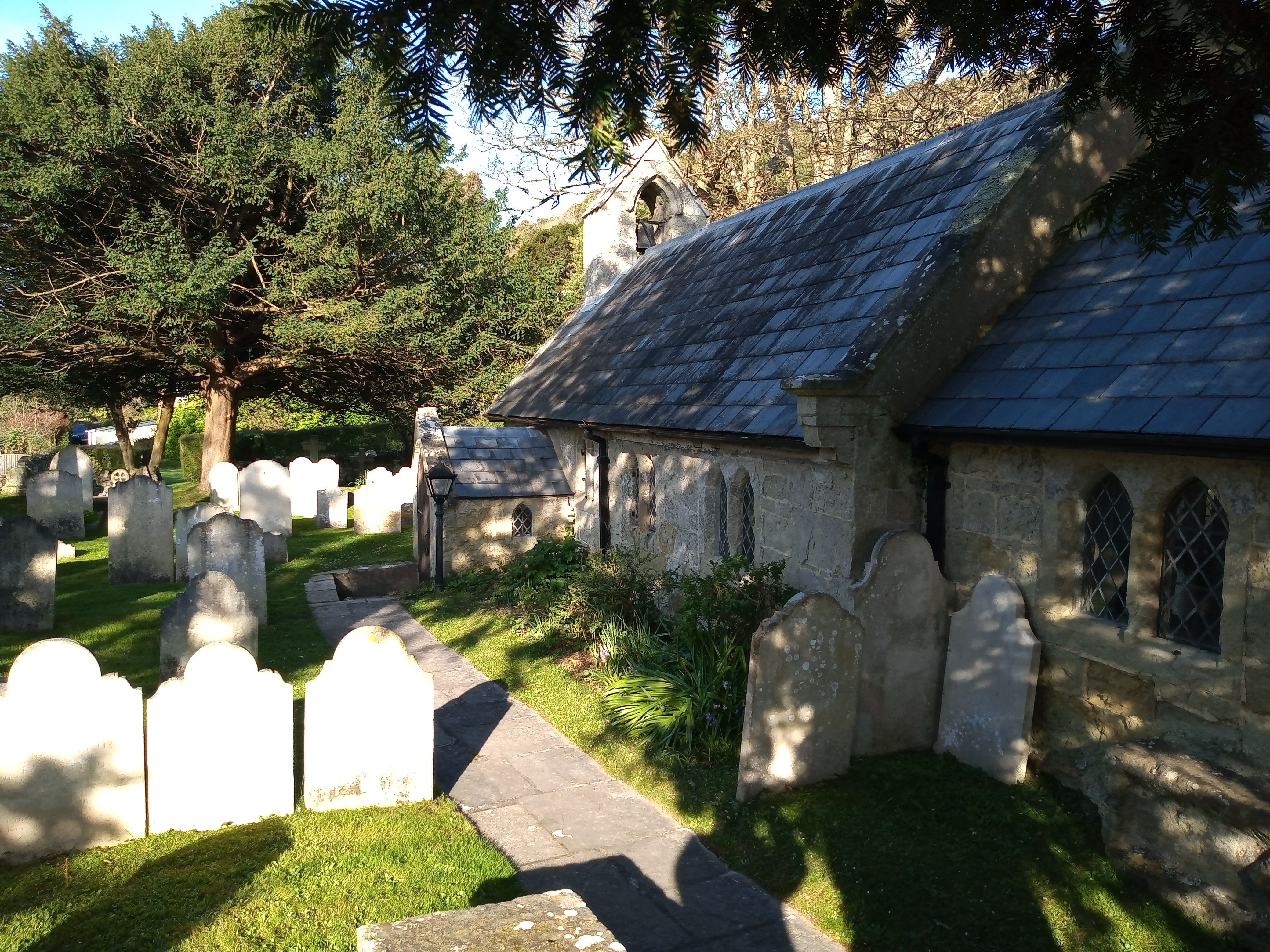
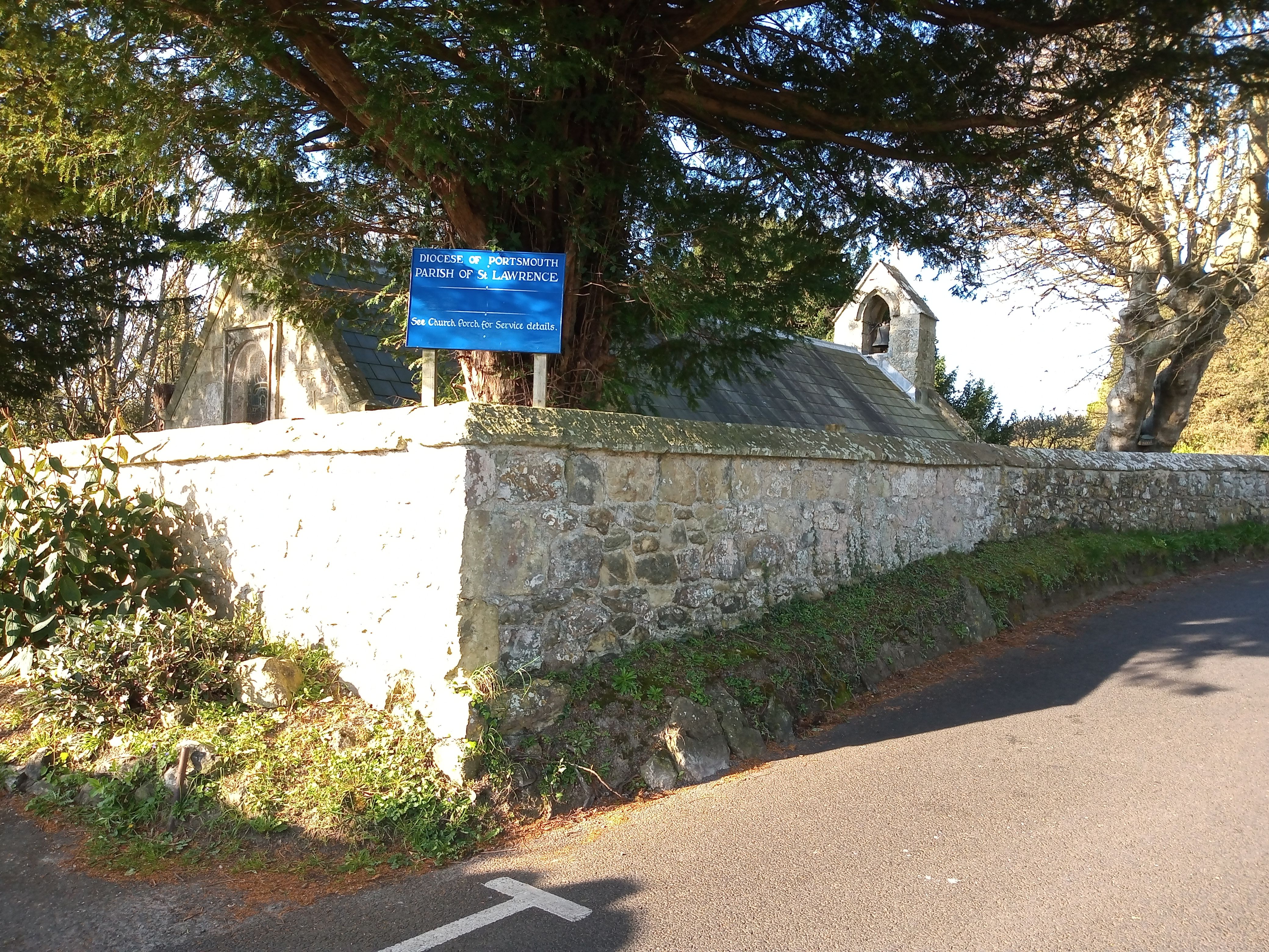
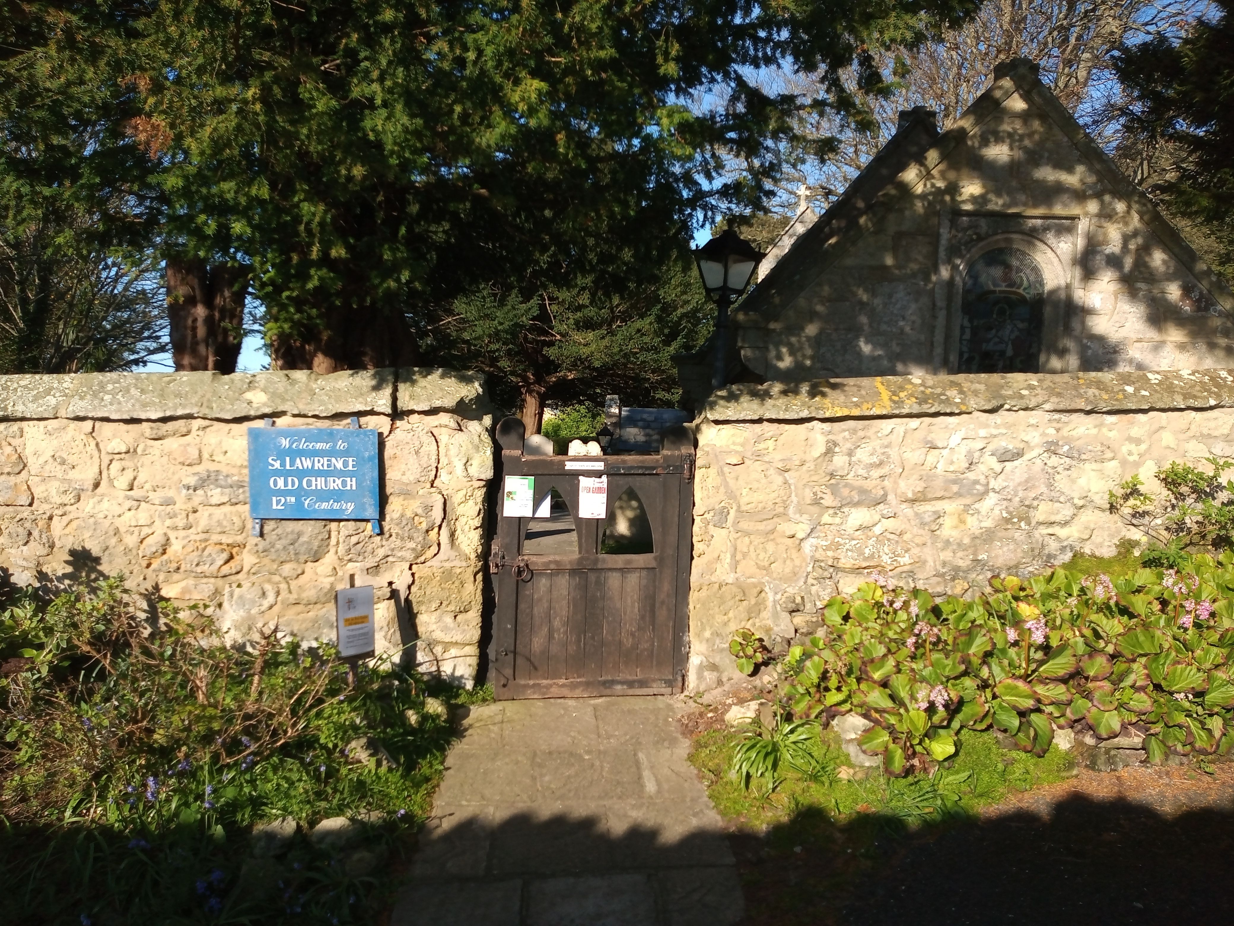
| Description | : | St. Lawrence is much older than Ventnor dating back to at least the Middle Ages. The Old Church of St. Lawrence dates from the 12th century. When first built it was only 20 feet long by 12 feet wide, considered at that time to be the smallest church in England. In 1842 it was lengthened by the addition of a ten-foot chancel. Refurbished in 1927. A newer larger St Lawrence's Church is situated 200 yards away from the Old Church built in 1878. |
frequently asked questions (FAQ):
-
Where is Old Church of St Lawrence?
Old Church of St Lawrence is located at Seven Sisters Road, St Lawrence, Isle of Wight Ventnor, Isle of Wight Unitary Authority ,Isle of Wight , PO38 1UYEngland.
-
Old Church of St Lawrence cemetery's updated grave count on graveviews.com?
3 memorials
-
Where are the coordinates of the Old Church of St Lawrence?
Latitude: 50.5871078
Longitude: -1.2438191
Nearby Cemetories:
1. Parish Church of St. Lawrence
Ventnor, Isle of Wight Unitary Authority, England
Coordinate: 50.5858807, -1.2436714
2. Whitwell New Burial Ground
Whitwell, Isle of Wight Unitary Authority, England
Coordinate: 50.5943366, -1.2689275
3. Niton Baptist Church
Ventnor, Isle of Wight Unitary Authority, England
Coordinate: 50.5850100, -1.2864900
4. St Boniface Bonchurch Churchyard
Bonchurch, Isle of Wight Unitary Authority, England
Coordinate: 50.6000880, -1.1867990
5. St Boniface Old Churchyard
Bonchurch, Isle of Wight Unitary Authority, England
Coordinate: 50.5988889, -1.1850000
6. All Saints Churchyard
Godshill, Isle of Wight Unitary Authority, England
Coordinate: 50.6336900, -1.2558300
7. Billingham Manor
Newport, Isle of Wight Unitary Authority, England
Coordinate: 50.6347663, -1.3140535
8. Shanklin Cemetery
Shanklin, Isle of Wight Unitary Authority, England
Coordinate: 50.6441740, -1.1738343
9. Shanklin Cemetery
Sandown, Isle of Wight Unitary Authority, England
Coordinate: 50.6445083, -1.1742694
10. Lake Cemetery
Lake, Isle of Wight Unitary Authority, England
Coordinate: 50.6498713, -1.1734786
11. Christ Churchyard
Sandown, Isle of Wight Unitary Authority, England
Coordinate: 50.6521319, -1.1621056
12. St Olave's Churchyard
Gatcombe, Isle of Wight Unitary Authority, England
Coordinate: 50.6636110, -1.3041670
13. St Peter New Churchyard
Shorwell, Isle of Wight Unitary Authority, England
Coordinate: 50.6433100, -1.3541400
14. St Peter's Parish Church
Shorwell, Isle of Wight Unitary Authority, England
Coordinate: 50.6449290, -1.3545580
15. Carisbrooke Priory
Carisbrooke, Isle of Wight Unitary Authority, England
Coordinate: 50.6859710, -1.3070000
16. Carisbrooke Cemetery
Carisbrooke, Isle of Wight Unitary Authority, England
Coordinate: 50.6882160, -1.3083040
17. St. Mary the Virgin Churchyard
Brighstone, Isle of Wight Unitary Authority, England
Coordinate: 50.6422540, -1.3944850
18. St Mary the Virgin Churchyard
Brading, Isle of Wight Unitary Authority, England
Coordinate: 50.6824400, -1.1429600
19. St Thomas Church
Newport, Isle of Wight Unitary Authority, England
Coordinate: 50.6997610, -1.2940130
20. Newport Cemetery
Newport, Isle of Wight Unitary Authority, England
Coordinate: 50.7041360, -1.2887540
21. St Paul's Cemetery
Newport, Isle of Wight Unitary Authority, England
Coordinate: 50.7072300, -1.2827400
22. St Peter's
Havenstreet, Isle of Wight Unitary Authority, England
Coordinate: 50.7095580, -1.2063290
23. Parkhurst Military Cemetery
Newport, Isle of Wight Unitary Authority, England
Coordinate: 50.7084440, -1.3044120
24. Isle of Wight Workhouse Burial Ground
Carisbrooke, Isle of Wight Unitary Authority, England
Coordinate: 50.7112150, -1.2979810


