| Memorials | : | 68 |
| Location | : | Newton-on-Ouse, Hambleton District, England |
| Coordinate | : | 54.0324800, -1.2210800 |
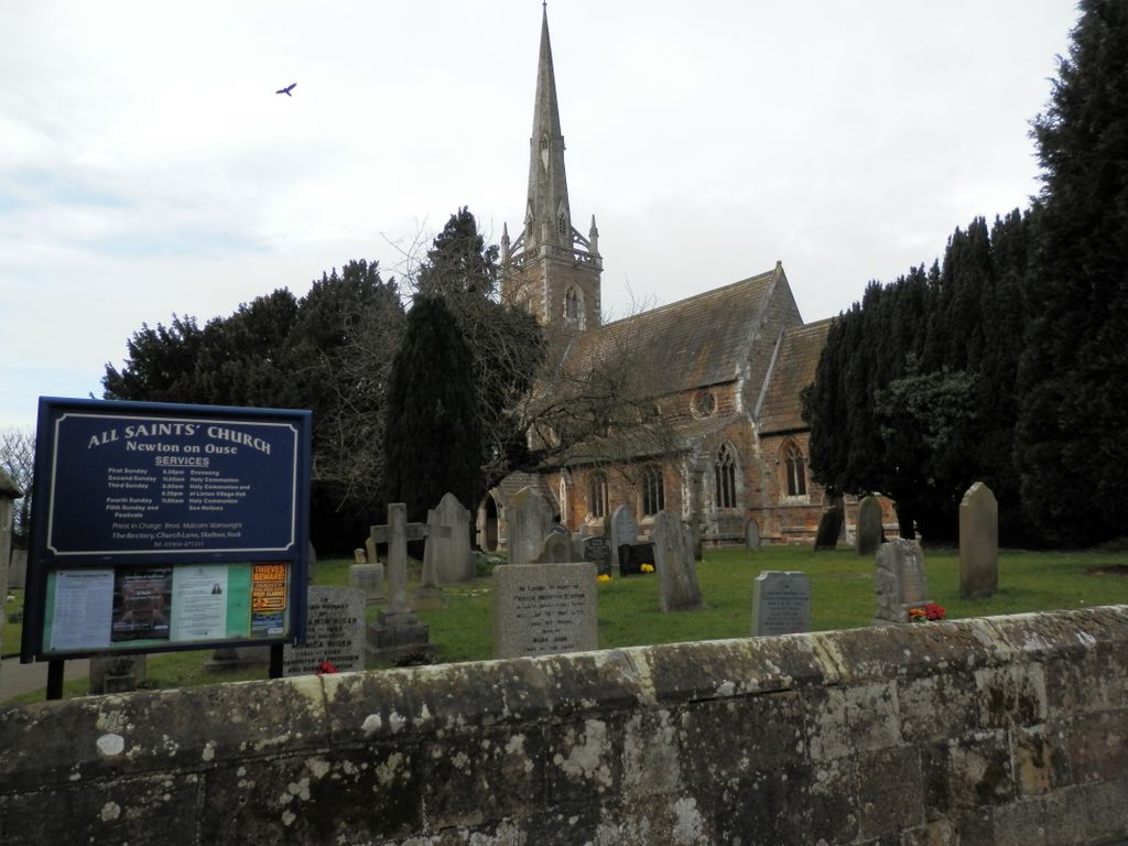
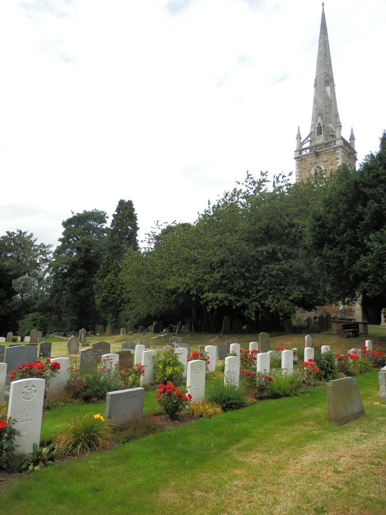
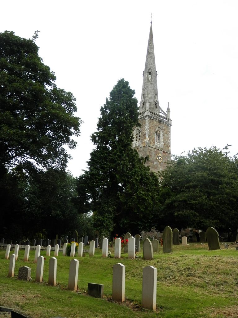
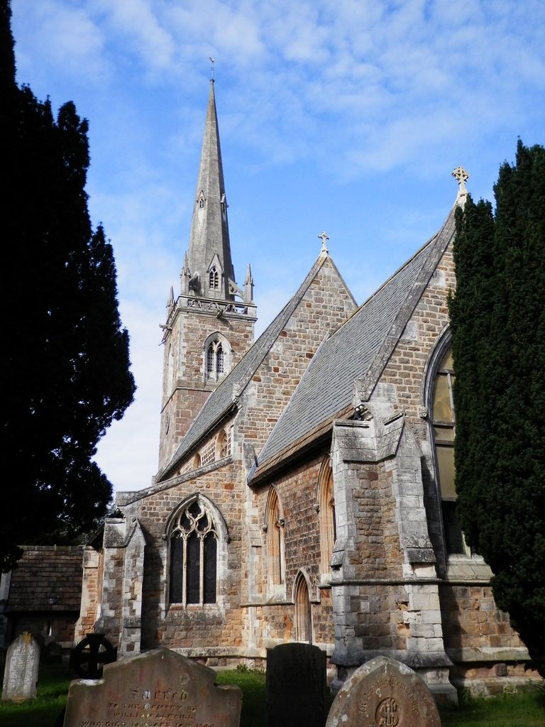
| Description | : | This churchyard, is on the southern border of the North Riding. Until the establishment of the Regional Cemetery at Harrogate in 1943, it was used for the burial of air casualties from the nearby R.A.F. Station at Linton-on-Ouse. This station became one of the main Canadian operational bases of No. 6 (R.C.A.F.) Bomber Group. It contains the Common Wealth War Graves of 23 airmen of the 1939-1945 War. |
frequently asked questions (FAQ):
-
Where is All Saints Churchyard?
All Saints Churchyard is located at Newton-on-Ouse, Hambleton District ,North Yorkshire , YO30 2BNEngland.
-
All Saints Churchyard cemetery's updated grave count on graveviews.com?
68 memorials
-
Where are the coordinates of the All Saints Churchyard?
Latitude: 54.0324800
Longitude: -1.2210800
Nearby Cemetories:
1. St Mary Priory Churchyard
Nun Monkton, Harrogate Borough, England
Coordinate: 54.0149100, -1.2212150
2. All Saints Churchyard
Moor Monkton, Harrogate Borough, England
Coordinate: 53.9976300, -1.2223700
3. Holy Evangelists Churchyard
Shipton, Hambleton District, England
Coordinate: 54.0234400, -1.1572300
4. St Stephen Churchyard
Aldwark, Hambleton District, England
Coordinate: 54.0640600, -1.2875000
5. St Mary Churchyard
Alne, Hambleton District, England
Coordinate: 54.0814400, -1.2438800
6. Holy Trinity Churchyard
Little Ouseburn, Harrogate Borough, England
Coordinate: 54.0440712, -1.3101200
7. St Thomas Churchyard
Green Hammerton, Harrogate Borough, England
Coordinate: 54.0055000, -1.3007000
8. St Mary the Virgin Churchyard
Great Ouseburn, Harrogate Borough, England
Coordinate: 54.0488052, -1.3125230
9. St John's the Baptist Church
Hessay, York Unitary Authority, England
Coordinate: 53.9767283, -1.2027246
10. St. John the Baptist Churchyard
Kirk Hammerton, Harrogate Borough, England
Coordinate: 53.9936690, -1.2918740
11. St. Giles' Churchyard
Skelton, York Unitary Authority, England
Coordinate: 54.0019111, -1.1342660
12. Moorlands Nature Reserve
Skelton, York Unitary Authority, England
Coordinate: 54.0226680, -1.1201180
13. Ascension Churchyard
Whixley, Harrogate Borough, England
Coordinate: 54.0186370, -1.3269930
14. Marston Moor Battlefield Burial Pits
Long Marston, Harrogate Borough, England
Coordinate: 53.9713910, -1.2578580
15. St Everilda Churchyard
Nether Poppleton, York Unitary Authority, England
Coordinate: 53.9882060, -1.1403710
16. Skelton Parish Council Cemetery
Skelton, York Unitary Authority, England
Coordinate: 54.0070970, -1.1150970
17. All Saints Churchyard
Upper Poppleton, York Unitary Authority, England
Coordinate: 53.9776970, -1.1510780
18. All Hallows Churchyard Extension Cemetery
Sutton-on-the-Forest, Hambleton District, England
Coordinate: 54.0757200, -1.1188700
19. St Mary Churchyard
Lower Dunsforth, Harrogate Borough, England
Coordinate: 54.0777130, -1.3241810
20. All Saints Churchyard
Rufforth, York Unitary Authority, England
Coordinate: 53.9568390, -1.1975690
21. All Hallows Churchyard
Sutton-on-the-Forest, Hambleton District, England
Coordinate: 54.0746800, -1.1103500
22. Church of the Epiphany Churchyard
Tockwith, Harrogate Borough, England
Coordinate: 53.9653480, -1.2909130
23. Wigginton Garden of Rest
Wigginton, York Unitary Authority, England
Coordinate: 54.0183970, -1.0851200
24. St. Nicholas' Churchyard
Wigginton, York Unitary Authority, England
Coordinate: 54.0182590, -1.0850720


