
| Memorials | : | 1 |
| Location | : | Skelton, York Unitary Authority, England |
| Coordinate | : | 54.0226680, -1.1201180 |
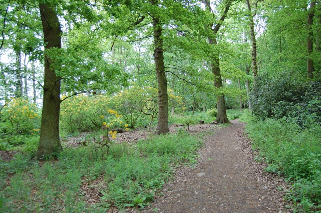
| Description | : | The nature reserve is about 5 and a half miles north of York. From York, take the A19 Thirsk road for about 3 and a half miles to Skelton. Turn right off the A19, continue through the village and the nature reserve is another 2 miles further on, on the left of the road. Parking is allowed on the verge near the entrance gate. Mr. Edward Grosvenor Tew bought Moorlands House and estate in 1909 and planted many of the rhododendrons and azaleas. The estate was then acquired by the Retreat in York for use as a hospital in 1940, before... Read More |
frequently asked questions (FAQ):
-
Where is Moorlands Nature Reserve?
Moorlands Nature Reserve is located at Skelton, York Unitary Authority ,North Yorkshire ,England.
-
Moorlands Nature Reserve cemetery's updated grave count on graveviews.com?
1 memorials
-
Where are the coordinates of the Moorlands Nature Reserve?
Latitude: 54.0226680
Longitude: -1.1201180
Nearby Cemetories:
1. Skelton Parish Council Cemetery
Skelton, York Unitary Authority, England
Coordinate: 54.0070970, -1.1150970
2. Wigginton Garden of Rest
Wigginton, York Unitary Authority, England
Coordinate: 54.0183970, -1.0851200
3. St. Nicholas' Churchyard
Wigginton, York Unitary Authority, England
Coordinate: 54.0182590, -1.0850720
4. Holy Evangelists Churchyard
Shipton, Hambleton District, England
Coordinate: 54.0234400, -1.1572300
5. St. Giles' Churchyard
Skelton, York Unitary Authority, England
Coordinate: 54.0019111, -1.1342660
6. Haxby and Wigginton Cemetery
Haxby, York Unitary Authority, England
Coordinate: 54.0219200, -1.0808600
7. St Mary Churchyard
Haxby, York Unitary Authority, England
Coordinate: 54.0167790, -1.0754230
8. St Everilda Churchyard
Nether Poppleton, York Unitary Authority, England
Coordinate: 53.9882060, -1.1403710
9. All Saints Churchyard
Huntington, York Unitary Authority, England
Coordinate: 53.9977460, -1.0633490
10. All Saints Churchyard
Upper Poppleton, York Unitary Authority, England
Coordinate: 53.9776970, -1.1510780
11. St Mary the Virgin Churchyard
Strensall, York Unitary Authority, England
Coordinate: 54.0389130, -1.0394910
12. All Hallows Churchyard
Sutton-on-the-Forest, Hambleton District, England
Coordinate: 54.0746800, -1.1103500
13. All Hallows Churchyard Extension Cemetery
Sutton-on-the-Forest, Hambleton District, England
Coordinate: 54.0757200, -1.1188700
14. New Lane Cemetery
Huntington, York Unitary Authority, England
Coordinate: 53.9816223, -1.0576156
15. St Barnabas Church
York, York Unitary Authority, England
Coordinate: 53.9639530, -1.1030490
16. St Mary Priory Churchyard
Nun Monkton, Harrogate Borough, England
Coordinate: 54.0149100, -1.2212150
17. All Saints Churchyard
Newton-on-Ouse, Hambleton District, England
Coordinate: 54.0324800, -1.2210800
18. St Giles Churchyard
York, York Unitary Authority, England
Coordinate: 53.9640010, -1.0843930
19. St Olave Churchyard
York, York Unitary Authority, England
Coordinate: 53.9622570, -1.0891560
20. Abbey of St Mary (defunct)
York, York Unitary Authority, England
Coordinate: 53.9620290, -1.0883600
21. St Maurice Churchyard
York, York Unitary Authority, England
Coordinate: 53.9633340, -1.0782010
22. St Michael le Belfrey Churchyard
York, York Unitary Authority, England
Coordinate: 53.9618620, -1.0829730
23. York Minster
York, York Unitary Authority, England
Coordinate: 53.9619440, -1.0819440
24. St Wilfred Churchyard
York, York Unitary Authority, England
Coordinate: 53.9610550, -1.0848990