
| Memorials | : | 1 |
| Location | : | Berrington, Shropshire Unitary Authority, England |
| Coordinate | : | 52.6574020, -2.6957330 |
frequently asked questions (FAQ):
-
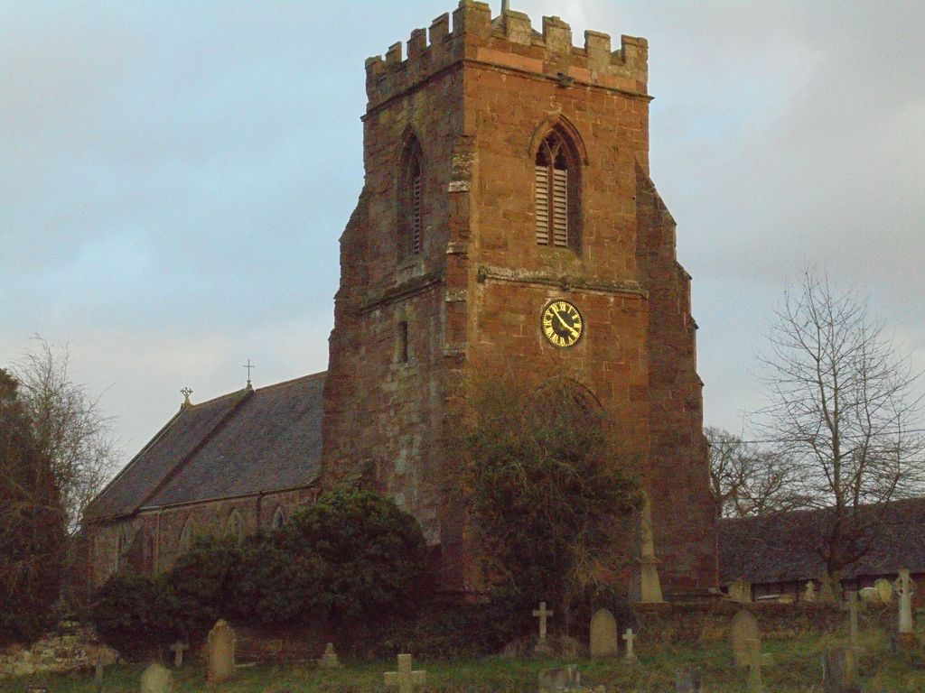
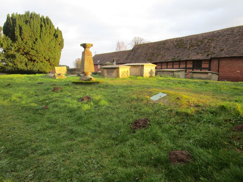
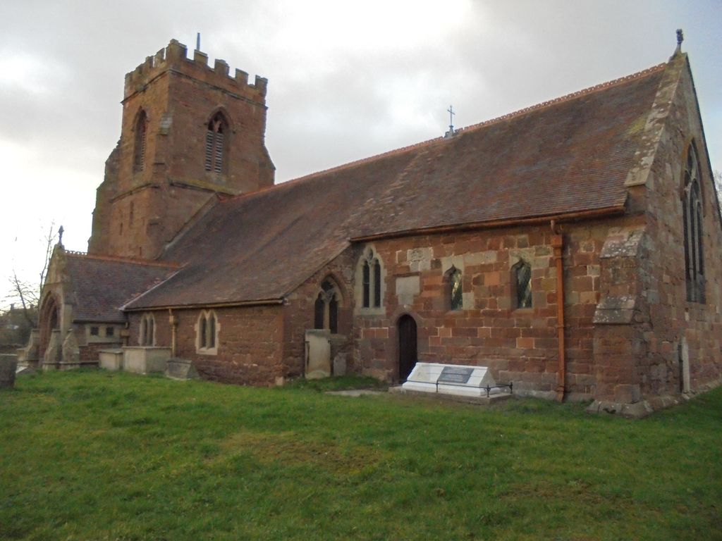
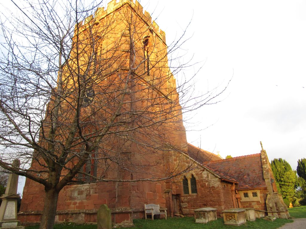
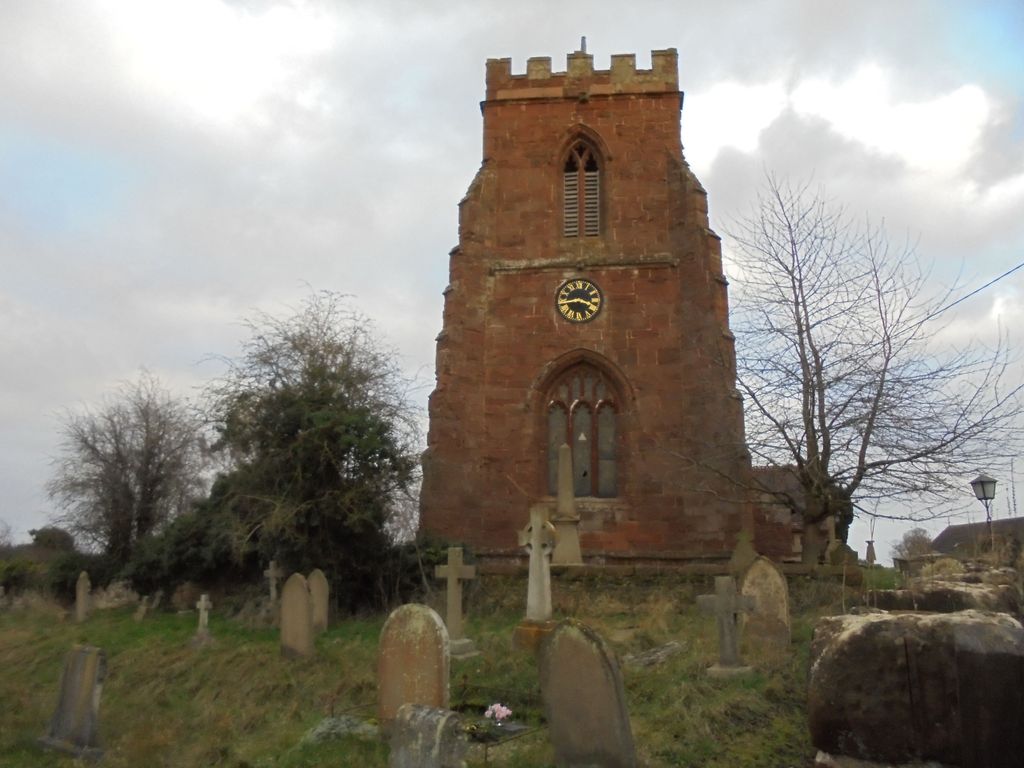
Where is All Saints Churchyard?
All Saints Churchyard is located at Berrington, Shropshire Unitary Authority ,Shropshire ,England.
-
All Saints Churchyard cemetery's updated grave count on graveviews.com?
0 memorials
-
Where are the coordinates of the All Saints Churchyard?
Latitude: 52.6574020
Longitude: -2.6957330
Nearby Cemetories:
1. St. Eata's Churchyard
Atcham, Shropshire Unitary Authority, England
Coordinate: 52.6785350, -2.6803958
2. St Peter's Church
Cound, Shropshire Unitary Authority, England
Coordinate: 52.6409160, -2.6542780
3. St. Mary & St. Andrew Churchyard
Condover, Shropshire Unitary Authority, England
Coordinate: 52.6474199, -2.7484076
4. St. Mary's Churchyard
Acton Burnell, Shropshire Unitary Authority, England
Coordinate: 52.6131390, -2.6907390
5. St. Mark's Churchyard
Frodesley, Shropshire Unitary Authority, England
Coordinate: 52.6052775, -2.7166580
6. St. John’s Churchyard
Condover, Shropshire Unitary Authority, England
Coordinate: 52.6356110, -2.7833220
7. Christ Church Churchyard
Cressage, Shropshire Unitary Authority, England
Coordinate: 52.6322770, -2.6040810
8. St. John The Baptist Churchyard
Kenley, Shropshire Unitary Authority, England
Coordinate: 52.6030460, -2.6469840
9. St. Mary's Churchyard
Harley, Shropshire Unitary Authority, England
Coordinate: 52.6094750, -2.5976600
10. St. John the Baptist Churchyard
Church Preen, Shropshire Unitary Authority, England
Coordinate: 52.5792000, -2.6754000
11. St Thomas Churchyard
Great Hanwood, Shropshire Unitary Authority, England
Coordinate: 52.6812150, -2.8242660
12. Rodington Cemetery
Rodington, Telford and Wrekin Unitary Authority, England
Coordinate: 52.7273200, -2.6148100
13. St. John’s Churchyard
Hughley, Shropshire Unitary Authority, England
Coordinate: 52.5774550, -2.6435850
14. St. Peter's Churchyard
Wrockwardine, Telford and Wrekin Unitary Authority, England
Coordinate: 52.7047350, -2.5569500
15. St. Edith's Churchyard
Church Pulverbatch, Shropshire Unitary Authority, England
Coordinate: 52.6210550, -2.8436610
16. Holy Trinity Churchyard
Buildwas, Shropshire Unitary Authority, England
Coordinate: 52.6393710, -2.5380180
17. Bicton Cemetery
Bicton, Shropshire Unitary Authority, England
Coordinate: 52.7284870, -2.8183830
18. St John the Baptist Churchyard
Albrighton, Shropshire Unitary Authority, England
Coordinate: 52.7572400, -2.7462600
19. St. Lawrence's Churchyard
Little Wenlock, Telford and Wrekin Unitary Authority, England
Coordinate: 52.6582070, -2.5234340
20. St. James's Churchyard
Cardington, Shropshire Unitary Authority, England
Coordinate: 52.5520200, -2.7296220
21. St. Michael & All Angels Churchyard
High Ercall, Telford and Wrekin Unitary Authority, England
Coordinate: 52.7521000, -2.6026400
22. St Peter's Churchyard
Easthope, Shropshire Unitary Authority, England
Coordinate: 52.5522350, -2.6413020
23. Wellington Cemetery
Wellington, Telford and Wrekin Unitary Authority, England
Coordinate: 52.6958280, -2.5246020
24. Holy Trinity Churchyard
Bourton, Shropshire Unitary Authority, England
Coordinate: 52.5636887, -2.5957174