
| Memorials | : | 9 |
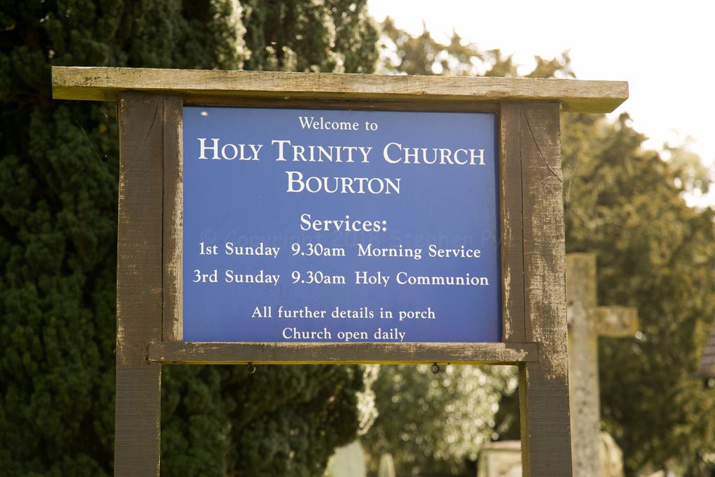
| Location | : | Bourton, Shropshire Unitary Authority, England |
| Coordinate | : | 52.5636887, -2.5957174 |
frequently asked questions (FAQ):
-
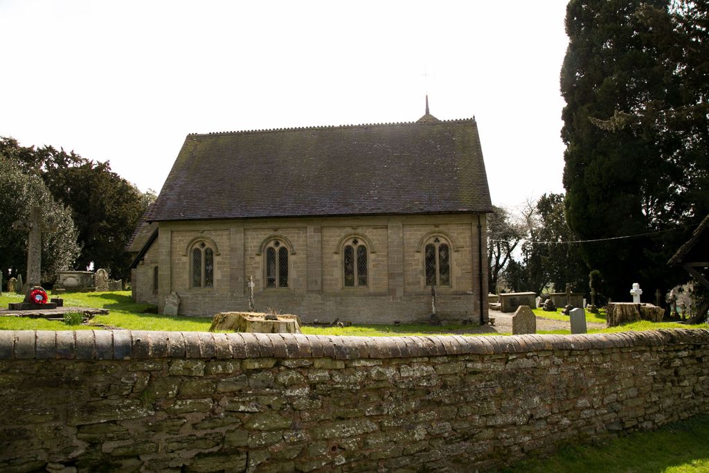
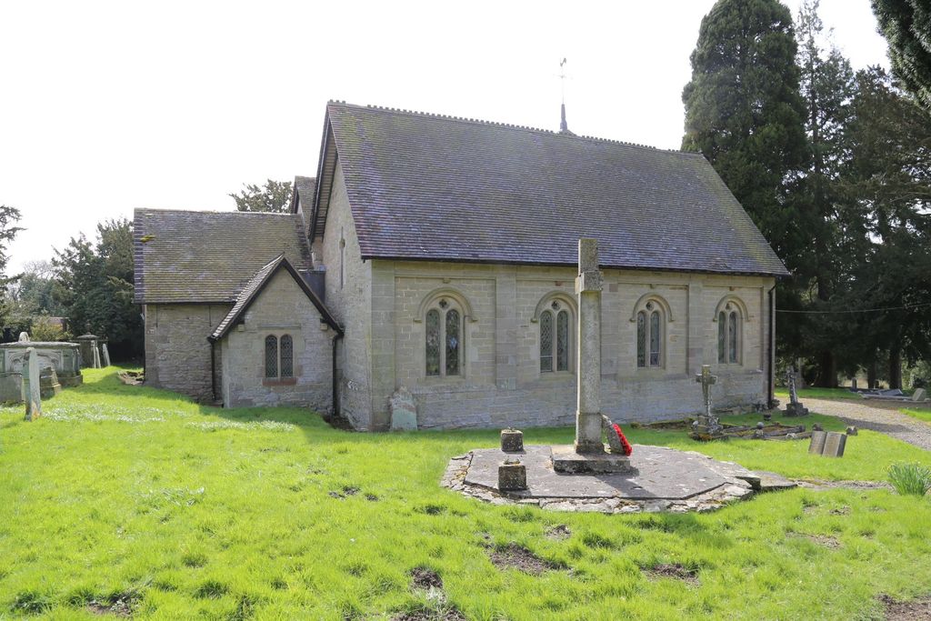
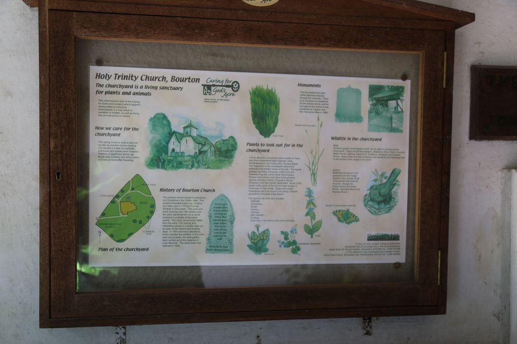
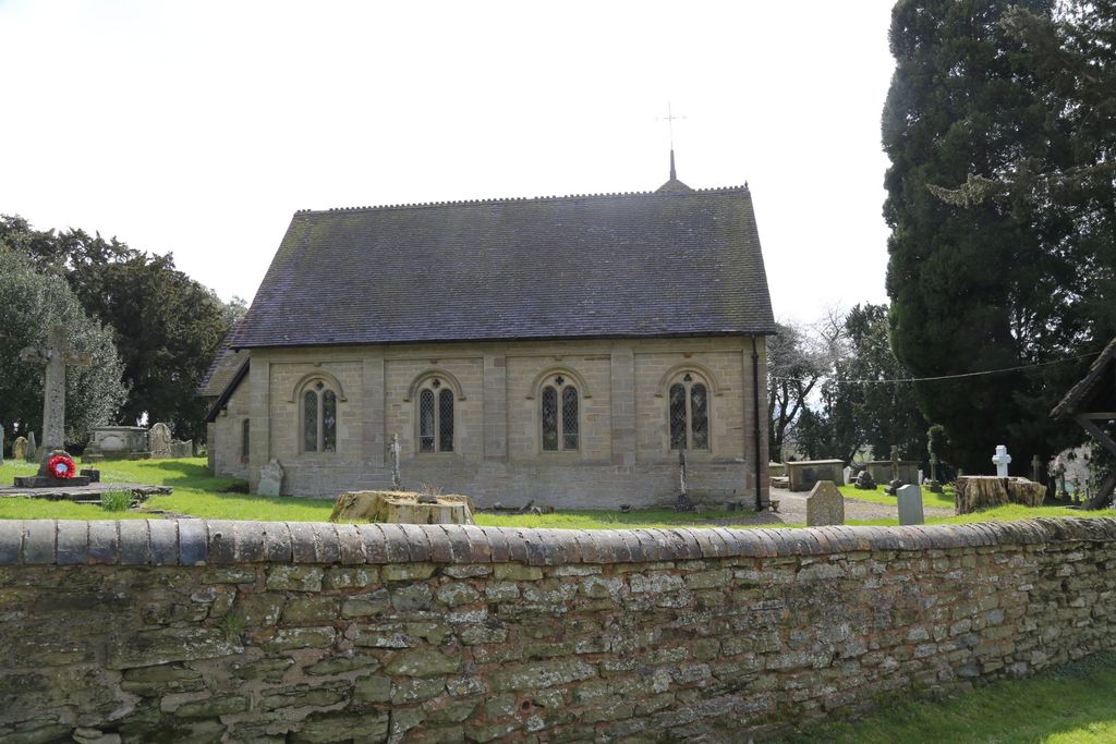
Where is Holy Trinity Churchyard?
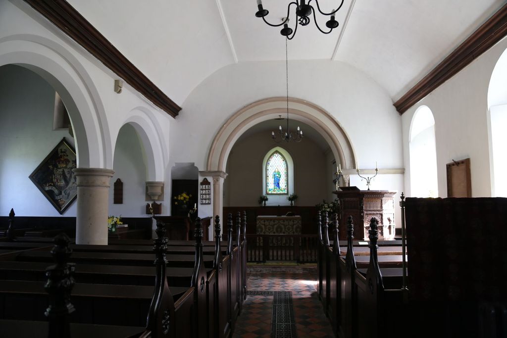
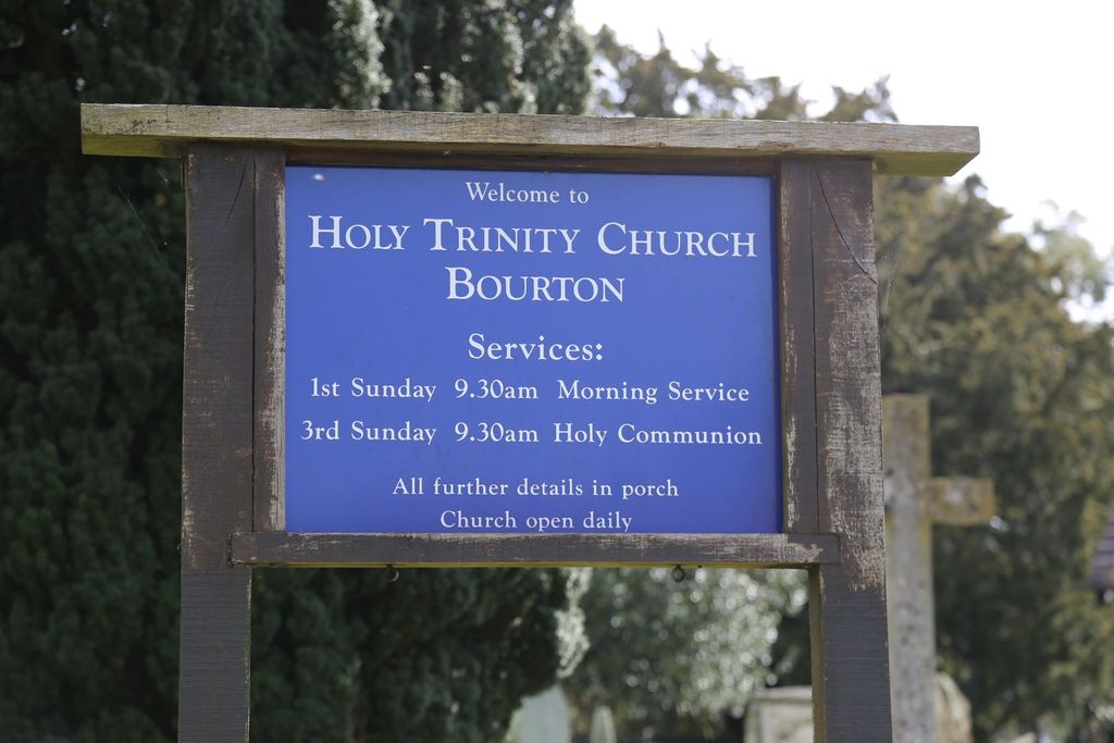
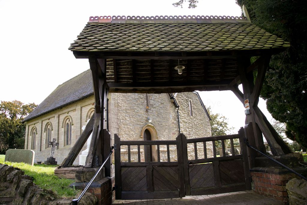
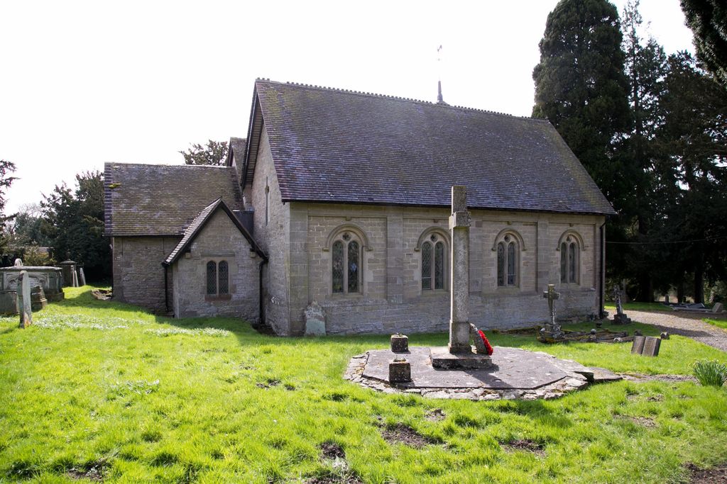
Holy Trinity Churchyard is located at Bourton, Shropshire Unitary Authority ,Shropshire ,England.
-
Holy Trinity Churchyard cemetery's updated grave count on graveviews.com?
9 memorials
-
Where are the coordinates of the Holy Trinity Churchyard?
Latitude: 52.5636887
Longitude: -2.5957174
Nearby Cemetories:
1. St Peter's Churchyard
Easthope, Shropshire Unitary Authority, England
Coordinate: 52.5522350, -2.6413020
2. St. John’s Churchyard
Hughley, Shropshire Unitary Authority, England
Coordinate: 52.5774550, -2.6435850
3. St. Mary's Churchyard
Acton Round, Shropshire Unitary Authority, England
Coordinate: 52.5573080, -2.5406470
4. St. Mary's Churchyard
Harley, Shropshire Unitary Authority, England
Coordinate: 52.6094750, -2.5976600
5. St. John The Baptist Churchyard
Kenley, Shropshire Unitary Authority, England
Coordinate: 52.6030460, -2.6469840
6. St. John the Baptist Churchyard
Church Preen, Shropshire Unitary Authority, England
Coordinate: 52.5792000, -2.6754000
7. St. Giles Church Cemetery
Barrow, Shropshire Unitary Authority, England
Coordinate: 52.5969300, -2.5065700
8. St. John The Baptist Churchyard
Ditton Priors, Shropshire Unitary Authority, England
Coordinate: 52.4990090, -2.5784720
9. Christ Church Churchyard
Cressage, Shropshire Unitary Authority, England
Coordinate: 52.6322770, -2.6040810
10. Holy Trinity Churchyard
Holdgate, Shropshire Unitary Authority, England
Coordinate: 52.5024450, -2.6471900
11. St. Mary's Churchyard
Acton Burnell, Shropshire Unitary Authority, England
Coordinate: 52.6131390, -2.6907390
12. St. Bartholomew Churchyard
Benthall, Shropshire Unitary Authority, England
Coordinate: 52.6198230, -2.5068570
13. St. Giles Churchyard
Chetton, Shropshire Unitary Authority, England
Coordinate: 52.5101600, -2.4966300
14. St. James's Churchyard
Cardington, Shropshire Unitary Authority, England
Coordinate: 52.5520200, -2.7296220
15. Broseley Baptist Church
Broseley, Shropshire Unitary Authority, England
Coordinate: 52.6135650, -2.4871190
16. Holy Trinity Churchyard
Buildwas, Shropshire Unitary Authority, England
Coordinate: 52.6393710, -2.5380180
17. St. Mark's Churchyard
Frodesley, Shropshire Unitary Authority, England
Coordinate: 52.6052775, -2.7166580
18. St Peter's Church
Cound, Shropshire Unitary Authority, England
Coordinate: 52.6409160, -2.6542780
19. All Saints Churchyard
Broseley, Shropshire Unitary Authority, England
Coordinate: 52.6105890, -2.4757160
20. St. Peter and St. Paul Churchyard
Cleobury North, Shropshire Unitary Authority, England
Coordinate: 52.4796420, -2.5562440
21. St. Margaret's Churchyard
Abdon, Shropshire Unitary Authority, England
Coordinate: 52.4757240, -2.6265660
22. The Red Church
Broseley, Shropshire Unitary Authority, England
Coordinate: 52.6205367, -2.4753955
23. St. Luke's Churchyard
Ironbridge, Telford and Wrekin Unitary Authority, England
Coordinate: 52.6285830, -2.4851180
24. Castle Green Cemetery
Ironbridge, Telford and Wrekin Unitary Authority, England
Coordinate: 52.6346434, -2.4851070