
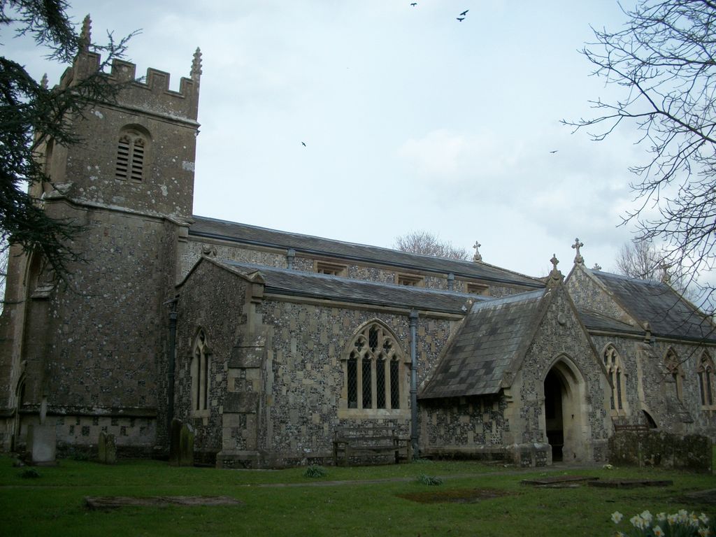
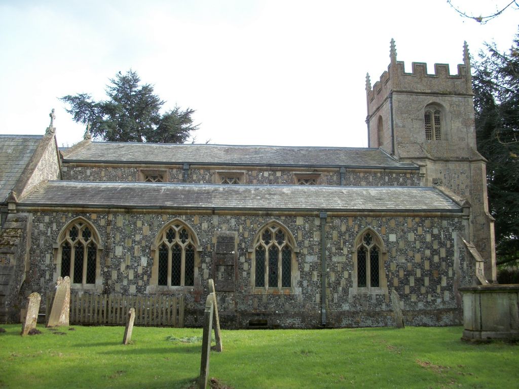
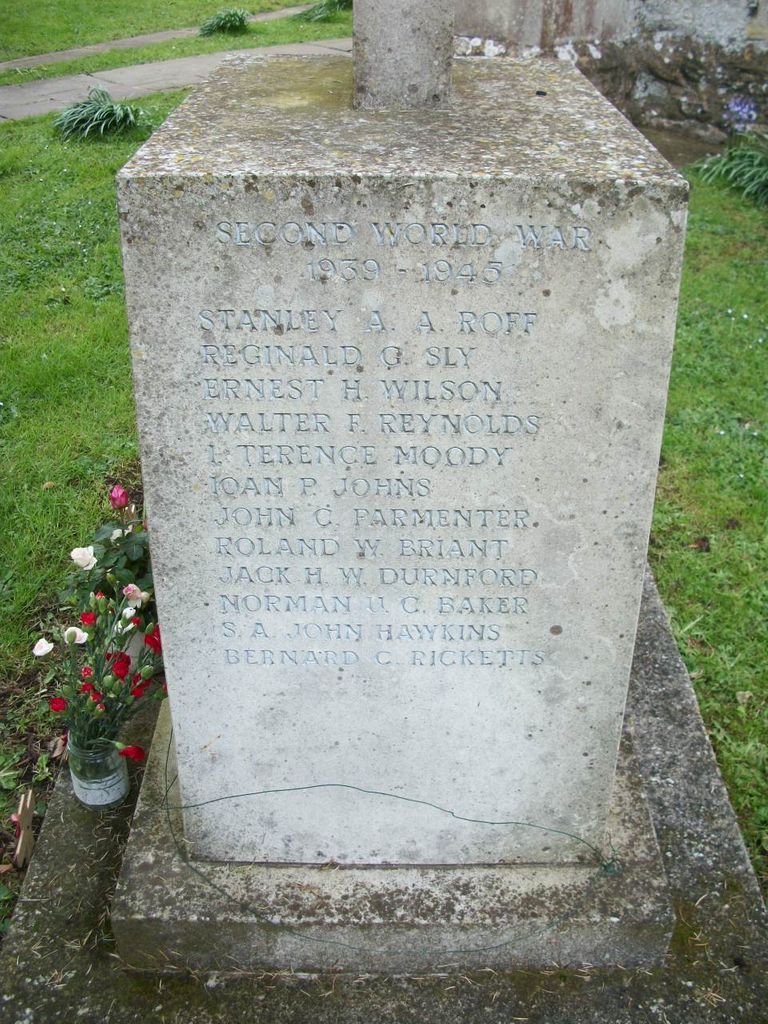
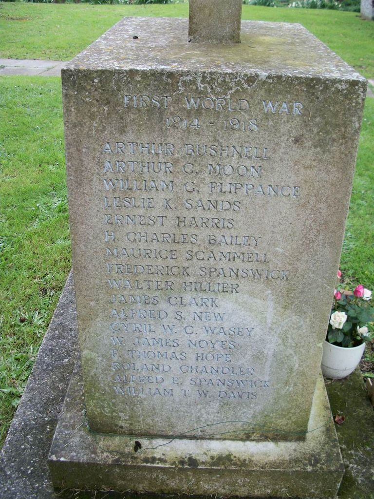
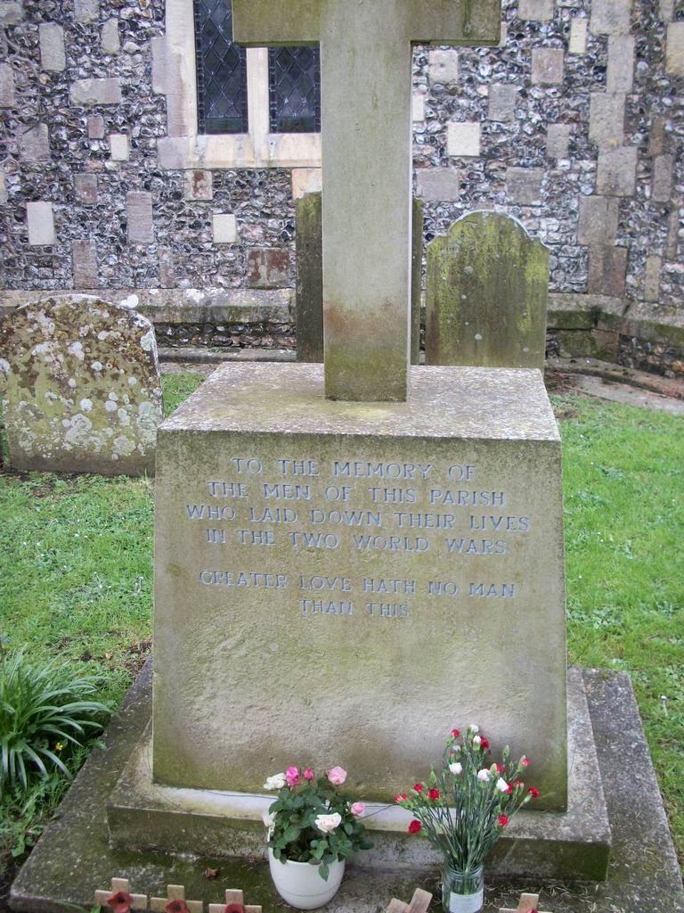
| Memorials | : | 0 |
| Location | : | Burbage, Wiltshire Unitary Authority, England |
| Coordinate | : | 51.3509127, -1.6671428 |
frequently asked questions (FAQ):
-
Where is All Saints Churchyard?
All Saints Churchyard is located at Burbage, Wiltshire Unitary Authority ,Wiltshire ,England.
-
All Saints Churchyard cemetery's updated grave count on graveviews.com?
0 memorials
-
Where are the coordinates of the All Saints Churchyard?
Latitude: 51.3509127
Longitude: -1.6671428
Nearby Cemetories:
1. St Nicholas Churchyard
East Grafton, Wiltshire Unitary Authority, England
Coordinate: 51.3414400, -1.6317000
2. St Mary's Churchyard
Collingbourne Kingston, Wiltshire Unitary Authority, England
Coordinate: 51.3008400, -1.6583900
3. Cadley Churchyard
Cadley, Wiltshire Unitary Authority, England
Coordinate: 51.3977930, -1.7013010
4. St Nicholas Churchyard
Chute, Wiltshire Unitary Authority, England
Coordinate: 51.2842910, -1.5726470
5. St. James the Great
Buttermere, Wiltshire Unitary Authority, England
Coordinate: 51.3475000, -1.5090000
6. Foxfield Churchyard
Hungerford, West Berkshire Unitary Authority, England
Coordinate: 51.4325160, -1.5648470
7. St. Mary Churchyard
Chute Forest, Wiltshire Unitary Authority, England
Coordinate: 51.2670000, -1.5581300
8. Adam’s Grave
Alton Barnes, Wiltshire Unitary Authority, England
Coordinate: 51.3694910, -1.8399100
9. All Saints Churchyard
Alton Priors, Wiltshire Unitary Authority, England
Coordinate: 51.3580240, -1.8447630
10. St Mary the Virgin Churchyard
Vernham Dean, Test Valley Borough, England
Coordinate: 51.3105630, -1.4994880
11. Church of St. Mary
Alton Barnes, Wiltshire Unitary Authority, England
Coordinate: 51.3572180, -1.8467440
12. Saint Lawrence Churchyard
Hungerford, West Berkshire Unitary Authority, England
Coordinate: 51.4164100, -1.5208820
13. St Mary Churchyard
Chilton Foliat, Wiltshire Unitary Authority, England
Coordinate: 51.4330700, -1.5423800
14. St. Michael's Churchyard
Inkpen, West Berkshire Unitary Authority, England
Coordinate: 51.3722999, -1.4877492
15. Christ Church
East Kennett, Wiltshire Unitary Authority, England
Coordinate: 51.4058760, -1.8328740
16. St Peter Churchyard
Linkenholt, Test Valley Borough, England
Coordinate: 51.3205900, -1.4798200
17. St. Thomas of Canterbury Churchyard
Tangley, Test Valley Borough, England
Coordinate: 51.2701840, -1.5224740
18. Saint Swithun Churchyard
Combe, West Berkshire Unitary Authority, England
Coordinate: 51.3445800, -1.4728000
19. St Saviour Churchyard
Hungerford, West Berkshire Unitary Authority, England
Coordinate: 51.4207210, -1.5054790
20. St. Peter's Churchyard
Appleshaw, Test Valley Borough, England
Coordinate: 51.2395400, -1.5665400
21. St Michael Cemetery
Netherton, Test Valley Borough, England
Coordinate: 51.3175780, -1.4622810
22. St Stephens - Beechingstoke
Beechingstoke, Wiltshire Unitary Authority, England
Coordinate: 51.3322290, -1.8782996
23. St Michael Churchyard
Aldbourne, Wiltshire Unitary Authority, England
Coordinate: 51.4835694, -1.6209028
24. Kimpton Cemetery
Kimpton, Test Valley Borough, England
Coordinate: 51.2185900, -1.5970400