
| Memorials | : | 0 |
| Location | : | Buttermere, Wiltshire Unitary Authority, England |
| Coordinate | : | 51.3475000, -1.5090000 |
frequently asked questions (FAQ):
-
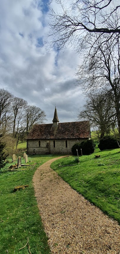
Where is St. James the Great?
St. James the Great is located at Buttermere, Wiltshire Unitary Authority ,Wiltshire ,England.
-
St. James the Great cemetery's updated grave count on graveviews.com?
0 memorials
-
Where are the coordinates of the St. James the Great?
Latitude: 51.3475000
Longitude: -1.5090000
Nearby Cemetories:
1. Saint Swithun Churchyard
Combe, West Berkshire Unitary Authority, England
Coordinate: 51.3445800, -1.4728000
2. St. Michael's Churchyard
Inkpen, West Berkshire Unitary Authority, England
Coordinate: 51.3722999, -1.4877492
3. St Peter Churchyard
Linkenholt, Test Valley Borough, England
Coordinate: 51.3205900, -1.4798200
4. St Mary the Virgin Churchyard
Vernham Dean, Test Valley Borough, England
Coordinate: 51.3105630, -1.4994880
5. St Michael Cemetery
Netherton, Test Valley Borough, England
Coordinate: 51.3175780, -1.4622810
6. West Woodhay Churchyard
West Woodhay, West Berkshire Unitary Authority, England
Coordinate: 51.3637960, -1.4385220
7. St Barnabas Churchyard
Faccombe, Test Valley Borough, England
Coordinate: 51.3204100, -1.4415400
8. St. Martin's Churchyard
East Woodhay, Basingstoke and Deane Borough, England
Coordinate: 51.3511800, -1.4188700
9. St. Mary the Virgin Churchyard
Kintbury, West Berkshire Unitary Authority, England
Coordinate: 51.4007840, -1.4505240
10. Saint Lawrence Churchyard
Hungerford, West Berkshire Unitary Authority, England
Coordinate: 51.4164100, -1.5208820
11. St James Churchyard
Ashmansworth, Basingstoke and Deane Borough, England
Coordinate: 51.3071600, -1.4122600
12. St Saviour Churchyard
Hungerford, West Berkshire Unitary Authority, England
Coordinate: 51.4207210, -1.5054790
13. St Nicholas Churchyard
Chute, Wiltshire Unitary Authority, England
Coordinate: 51.2842910, -1.5726470
14. Cerdicesbeorg
Hurstbourne Tarrant, Test Valley Borough, England
Coordinate: 51.2735869, -1.4813578
15. St Nicholas Churchyard
East Grafton, Wiltshire Unitary Authority, England
Coordinate: 51.3414400, -1.6317000
16. St. Thomas of Canterbury Churchyard
Tangley, Test Valley Borough, England
Coordinate: 51.2701840, -1.5224740
17. St. Thomas Churchyard
Woolton Hill, Basingstoke and Deane Borough, England
Coordinate: 51.3517900, -1.3841060
18. St Peter Churchyard
Hurstbourne Tarrant, Test Valley Borough, England
Coordinate: 51.2746300, -1.4492700
19. St Michael and All Angels Churchyard
Crux Easton, Basingstoke and Deane Borough, England
Coordinate: 51.3037600, -1.3918900
20. St Mary Churchyard
Hamstead Marshall, West Berkshire Unitary Authority, England
Coordinate: 51.3981940, -1.3977010
21. St. Mary Churchyard
Chute Forest, Wiltshire Unitary Authority, England
Coordinate: 51.2670000, -1.5581300
22. St Mary Churchyard
Chilton Foliat, Wiltshire Unitary Authority, England
Coordinate: 51.4330700, -1.5423800
23. Foxfield Churchyard
Hungerford, West Berkshire Unitary Authority, England
Coordinate: 51.4325160, -1.5648470
24. Highclere Cemetery
Highclere, Basingstoke and Deane Borough, England
Coordinate: 51.3319240, -1.3625700