
| Memorials | : | 0 |
| Location | : | Netherton, Test Valley Borough, England |
| Coordinate | : | 51.3175780, -1.4622810 |
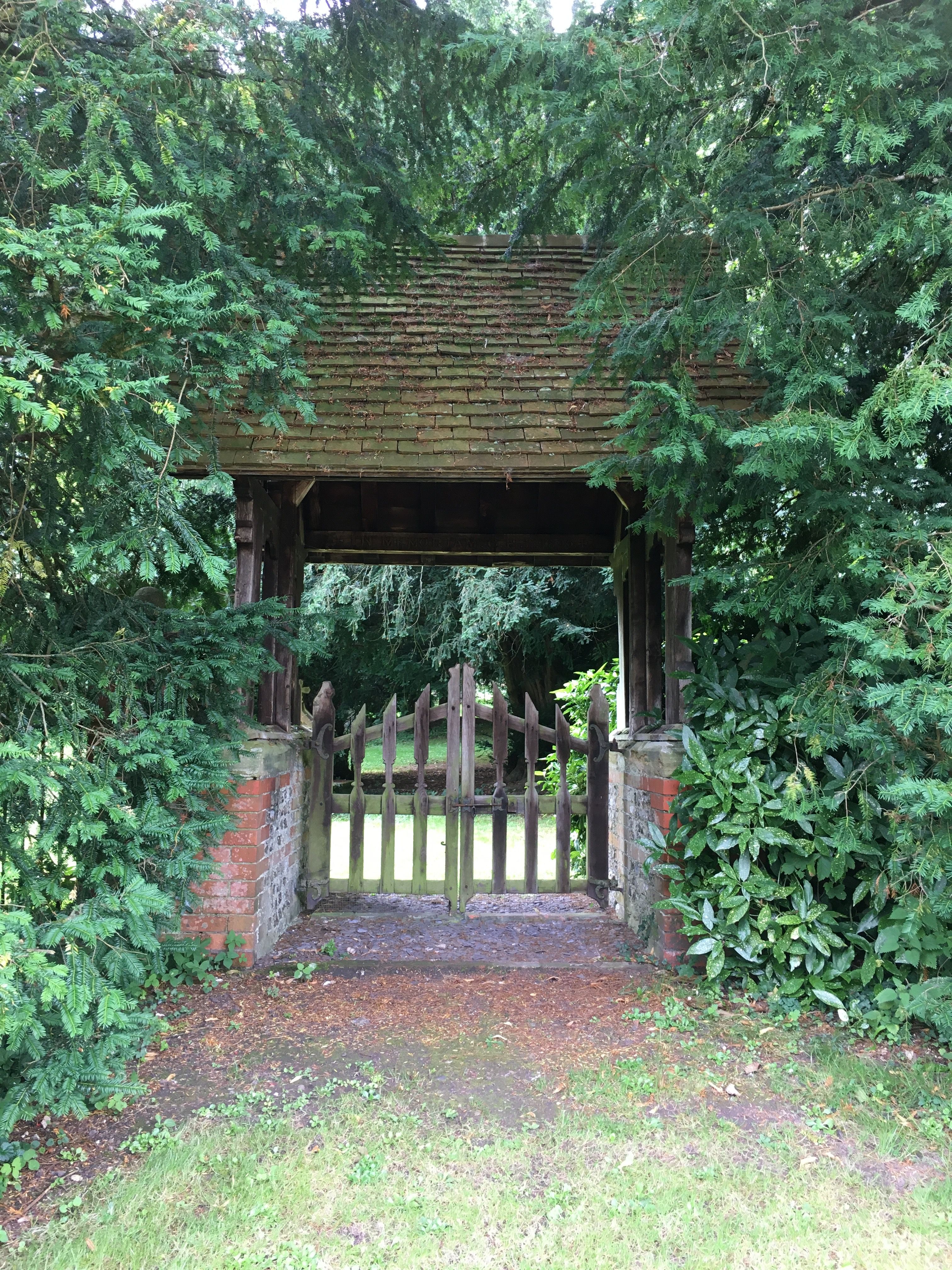
| Description | : | This was the site of the original parish church, dedicated to St Michael, for the Netherton-Faccombe parish and is no longer in use as a burial ground. However, the church building was small and a new church for the parish was eventually erected in the neighbouring village of Faccombe. The new church was consecrated in 1866 and dedicated to St Barnabas . Parish registers for St Michael were transferred to the St Barnabas parish at that time. The burial register dates from 1586 and is held at the Hampshire Archives. Entries in the register prior to 1866 will generally represent... Read More |
frequently asked questions (FAQ):
-
Where is St Michael Cemetery?
St Michael Cemetery is located at Netherton, Test Valley Borough ,Hampshire , SP11 0DYEngland.
-
St Michael Cemetery cemetery's updated grave count on graveviews.com?
0 memorials
-
Where are the coordinates of the St Michael Cemetery?
Latitude: 51.3175780
Longitude: -1.4622810
Nearby Cemetories:
1. St Peter Churchyard
Linkenholt, Test Valley Borough, England
Coordinate: 51.3205900, -1.4798200
2. St Barnabas Churchyard
Faccombe, Test Valley Borough, England
Coordinate: 51.3204100, -1.4415400
3. St Mary the Virgin Churchyard
Vernham Dean, Test Valley Borough, England
Coordinate: 51.3105630, -1.4994880
4. Saint Swithun Churchyard
Combe, West Berkshire Unitary Authority, England
Coordinate: 51.3445800, -1.4728000
5. St James Churchyard
Ashmansworth, Basingstoke and Deane Borough, England
Coordinate: 51.3071600, -1.4122600
6. St. James the Great
Buttermere, Wiltshire Unitary Authority, England
Coordinate: 51.3475000, -1.5090000
7. St. Martin's Churchyard
East Woodhay, Basingstoke and Deane Borough, England
Coordinate: 51.3511800, -1.4188700
8. St Peter Churchyard
Hurstbourne Tarrant, Test Valley Borough, England
Coordinate: 51.2746300, -1.4492700
9. Cerdicesbeorg
Hurstbourne Tarrant, Test Valley Borough, England
Coordinate: 51.2735869, -1.4813578
10. St Michael and All Angels Churchyard
Crux Easton, Basingstoke and Deane Borough, England
Coordinate: 51.3037600, -1.3918900
11. West Woodhay Churchyard
West Woodhay, West Berkshire Unitary Authority, England
Coordinate: 51.3637960, -1.4385220
12. St James Churchyard
Lower Woodcott, Basingstoke and Deane Borough, England
Coordinate: 51.2915300, -1.3813600
13. St. Michael's Churchyard
Inkpen, West Berkshire Unitary Authority, England
Coordinate: 51.3722999, -1.4877492
14. St. Thomas Churchyard
Woolton Hill, Basingstoke and Deane Borough, England
Coordinate: 51.3517900, -1.3841060
15. St. Thomas of Canterbury Churchyard
Tangley, Test Valley Borough, England
Coordinate: 51.2701840, -1.5224740
16. Highclere Cemetery
Highclere, Basingstoke and Deane Borough, England
Coordinate: 51.3319240, -1.3625700
17. Highclere Stud Equine Cemetery
Burghclere, Basingstoke and Deane Borough, England
Coordinate: 51.3125000, -1.3588400
18. Beacon Hill
Highclere, Basingstoke and Deane Borough, England
Coordinate: 51.3126090, -1.3467130
19. Christ Church Churchyard
Hatherden, Test Valley Borough, England
Coordinate: 51.2510100, -1.5080000
20. Breach Farm Woodland Burial Ground
Andover, Test Valley Borough, England
Coordinate: 51.2535050, -1.3952130
21. St Nicholas Churchyard
Chute, Wiltshire Unitary Authority, England
Coordinate: 51.2842910, -1.5726470
22. St. Mary Churchyard
Chute Forest, Wiltshire Unitary Authority, England
Coordinate: 51.2670000, -1.5581300
23. St Peter Churchyard
St Mary Bourne, Basingstoke and Deane Borough, England
Coordinate: 51.2501700, -1.3961300
24. Christ Church Churchyard
Smannell, Test Valley Borough, England
Coordinate: 51.2382880, -1.4568840