
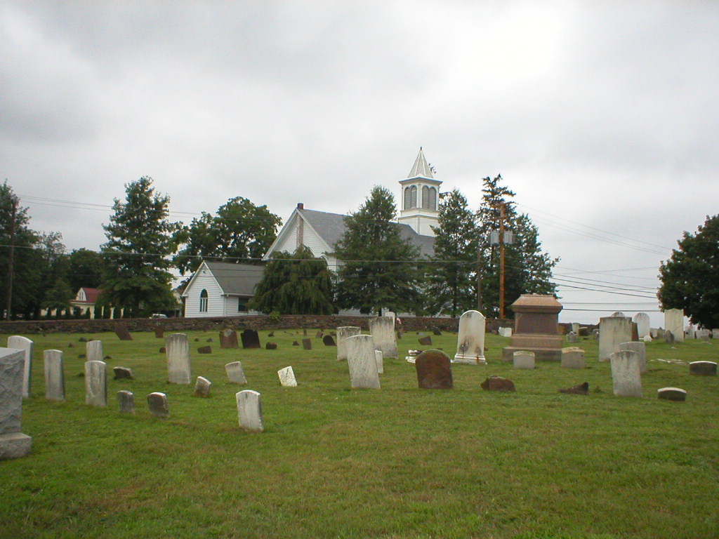
| Memorials | : | 169 |
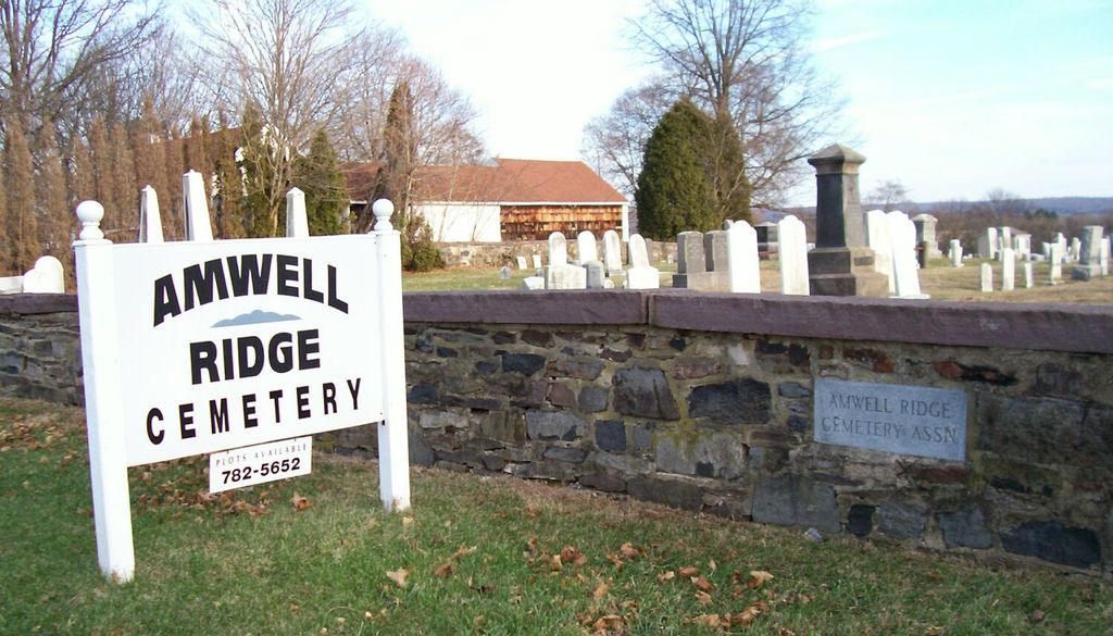
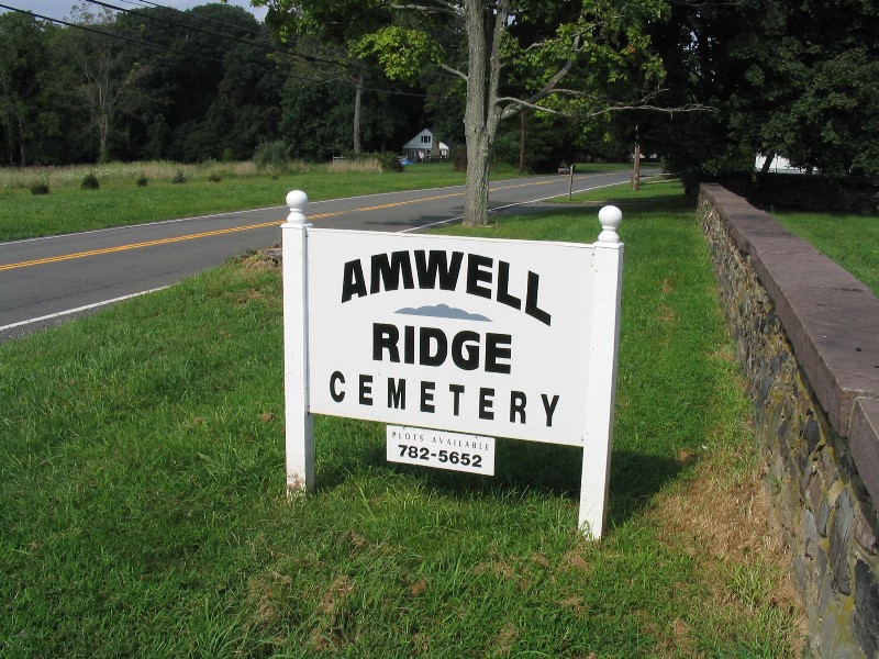
| Location | : | Ringoes, Hunterdon County, USA |
| Coordinate | : | 40.4415970, -74.8554840 |
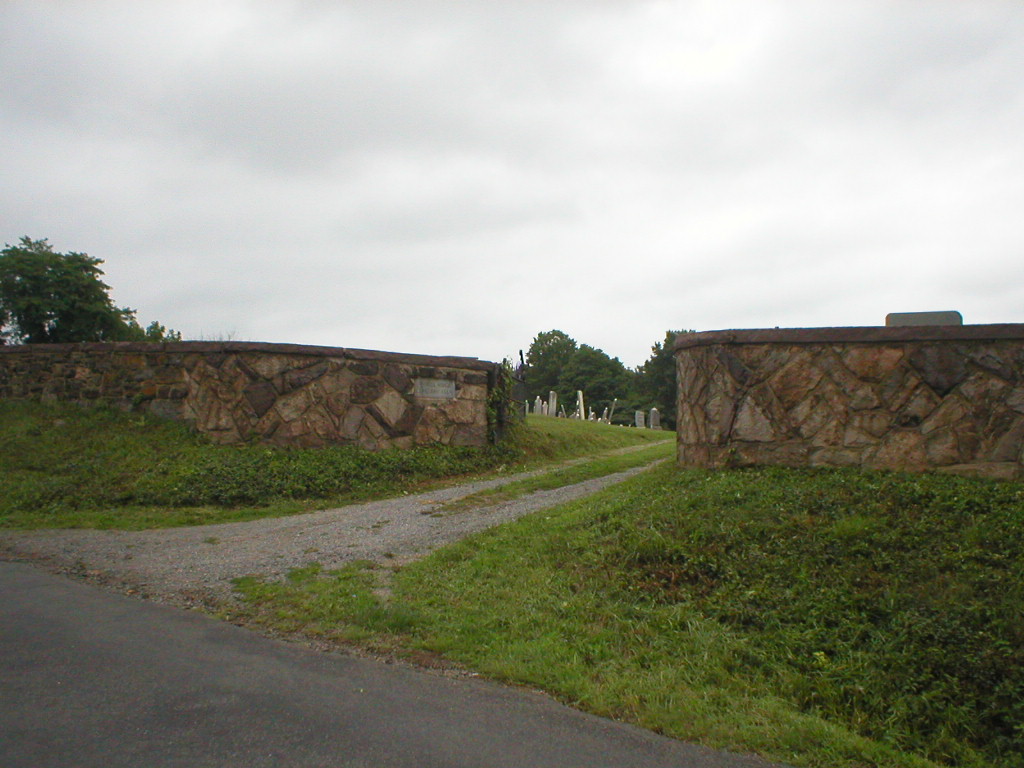
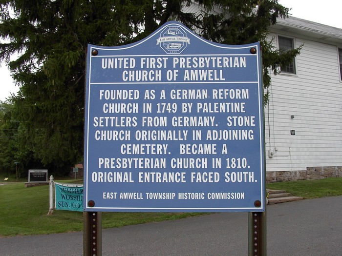
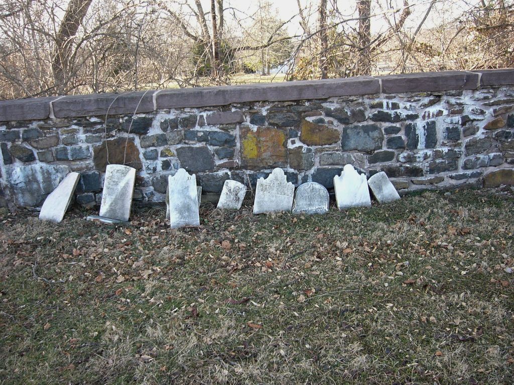
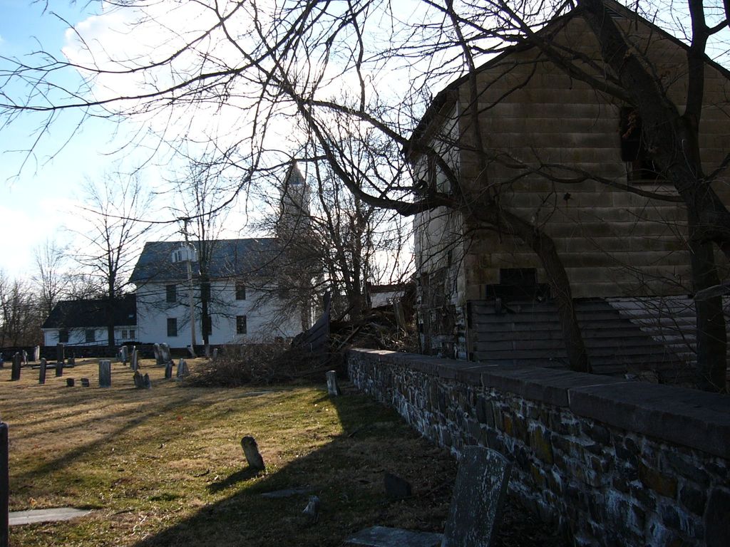
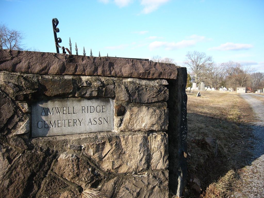
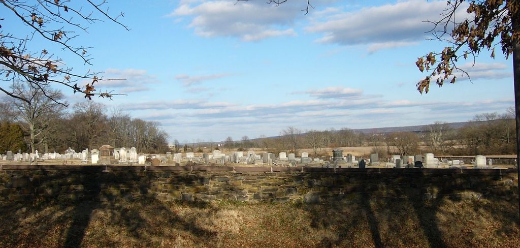
| Description | : | Extracted from "Tombstone Inscriptions From Hunterdon County Cemeteries". pages 54-73 "The tombstones were copied in 1918 by Mrs. A.B. Simerson, Jr. This cemetery is the property of the "Amwell United First Presbyterian Church." It is located on the Old York Road, a half mile east of the village of Ringoes, and in East Amwell Township. Originally it was a German Reformed Church, with services in German. The first house is believed to have been built of logs. The second, spoken of as "The Old Stone House," stood on the north side of the present graveyard. The deed for the property is... Read More |
frequently asked questions (FAQ):
-
Where is Amwell Ridge Cemetery?
Amwell Ridge Cemetery is located at 4 Old York Road Ringoes, Hunterdon County ,New Jersey , 08551USA.
-
Amwell Ridge Cemetery cemetery's updated grave count on graveviews.com?
159 memorials
-
Where are the coordinates of the Amwell Ridge Cemetery?
Latitude: 40.4415970
Longitude: -74.8554840
Nearby Cemetories:
1. Servis-Quick Family Cemetery
Ringoes, Hunterdon County, USA
Coordinate: 40.4375000, -74.8722220
2. Saint Andrews Episcopal Churchyard
Ringoes, Hunterdon County, USA
Coordinate: 40.4406586, -74.8734360
3. Geary Gravesite
Amwell, Hunterdon County, USA
Coordinate: 40.4561386, -74.8564301
4. Union Cemetery
Ringoes, Hunterdon County, USA
Coordinate: 40.4261017, -74.8732986
5. Pleasant Ridge Cemetery
Ringoes, Hunterdon County, USA
Coordinate: 40.4578018, -74.8336029
6. Moore Family Burying Ground
Sergeantsville, Hunterdon County, USA
Coordinate: 40.4414400, -74.9008720
7. Lower Amwell Cemetery - New Yard
Sergeantsville, Hunterdon County, USA
Coordinate: 40.4475098, -74.9133453
8. Lower Amwell Cemetery - Old Yard
Sergeantsville, Hunterdon County, USA
Coordinate: 40.4479866, -74.9134750
9. Rockefeller-Wikoff Burying Ground
Rocktown, Hunterdon County, USA
Coordinate: 40.3978424, -74.8675385
10. Wertsville Baptist Churchyard
Ringoes, Hunterdon County, USA
Coordinate: 40.4586110, -74.7977770
11. Trout Family Burying Ground
Sand Brook, Hunterdon County, USA
Coordinate: 40.4777778, -74.8972222
12. Sutton Farm Cemetery
Hunterdon County, USA
Coordinate: 40.4737206, -74.9048309
13. Rake Family Burying Ground
Sand Brook, Hunterdon County, USA
Coordinate: 40.4598999, -74.9170914
14. Opdycke Cemetery
Hunterdon County, USA
Coordinate: 40.4375000, -74.9250000
15. Sand Brook German Baptist Church Cemetery
Sand Brook, Hunterdon County, USA
Coordinate: 40.4687500, -74.9162216
16. Stout-Manners Cemetery
Ringoes, Hunterdon County, USA
Coordinate: 40.4586110, -74.7855550
17. Kitchen Cemetery
Sand Brook, Hunterdon County, USA
Coordinate: 40.4803810, -74.9092480
18. Second English Presbyterian Church Cemetery
Amwell, Hunterdon County, USA
Coordinate: 40.3984718, -74.9072189
19. Barber Burying Ground
Sandy Ridge, Hunterdon County, USA
Coordinate: 40.4190292, -74.9282608
20. Valley School Cemetery
Hunterdon County, USA
Coordinate: 40.4981500, -74.8814430
21. Winder Phillips Grave Yard
Mount Airy, Hunterdon County, USA
Coordinate: 40.3847222, -74.8833333
22. Rocks Methodist Episcopal Cemetery
Mount Airy, Hunterdon County, USA
Coordinate: 40.3844986, -74.8835983
23. Flemington Baptist Churchyard
Flemington, Hunterdon County, USA
Coordinate: 40.5058327, -74.8572235
24. Carmelite Monastery Cemetery
Flemington, Hunterdon County, USA
Coordinate: 40.4976610, -74.8980680