
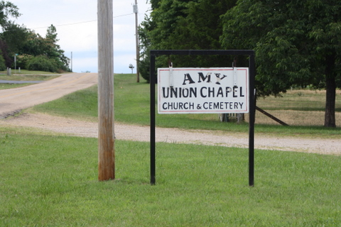
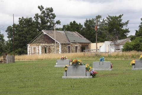
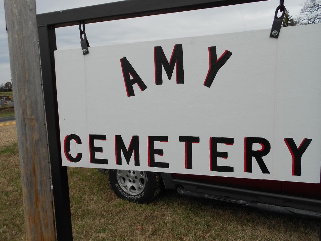
| Memorials | : | 3 |
| Location | : | Amy, Howell County, USA |
| Coordinate | : | 36.6046753, -92.0032043 |
| Description | : | Located twelve miles southwest of West Plains, MO. Take Hwy 160 to Hwy FF, turn south go 1/2 mile to cemetery. |
frequently asked questions (FAQ):
-
Where is Amy Union Chapel Cemetery?
Amy Union Chapel Cemetery is located at Amy, Howell County ,Missouri ,USA.
-
Amy Union Chapel Cemetery cemetery's updated grave count on graveviews.com?
3 memorials
-
Where are the coordinates of the Amy Union Chapel Cemetery?
Latitude: 36.6046753
Longitude: -92.0032043
Nearby Cemetories:
1. Mount Zion Cemetery
Benton Township, Howell County, USA
Coordinate: 36.5868600, -91.9785500
2. Nicks Cemetery
Hocomo, Howell County, USA
Coordinate: 36.5588989, -92.0141983
3. Big Springs Cemetery
Caulfield, Howell County, USA
Coordinate: 36.5783005, -92.0610962
4. Joice Cemetery
Howell County, USA
Coordinate: 36.5494003, -92.0417023
5. Fowler Cemetery
Caulfield, Howell County, USA
Coordinate: 36.6116982, -92.0864029
6. McElmurry Cemetery
Moody, Howell County, USA
Coordinate: 36.5503006, -91.9516983
7. Bollinger Cemetery
South Fork, Howell County, USA
Coordinate: 36.6208038, -91.9175491
8. Setzer Cemetery
Howell County, USA
Coordinate: 36.6405983, -92.0802994
9. Moody Cemetery
Moody, Howell County, USA
Coordinate: 36.5320206, -91.9889297
10. Cureall Cemetery
Cureall, Howell County, USA
Coordinate: 36.6713982, -92.0653000
11. Gospel Hill Church of Christ Cemetery
Pottersville, Howell County, USA
Coordinate: 36.6812100, -92.0570100
12. Old Homeland Cemetery
Homeland, Howell County, USA
Coordinate: 36.6631012, -91.9186020
13. Free Union Cemetery
Leota, Howell County, USA
Coordinate: 36.5170190, -92.0374070
14. Pottersville Cemetery
Pottersville, Howell County, USA
Coordinate: 36.6972008, -92.0152969
15. Homeland Cemetery
Homeland, Howell County, USA
Coordinate: 36.6706009, -91.9167023
16. Davis Cemetery
Moody, Howell County, USA
Coordinate: 36.5237560, -91.9268560
17. Blue Mound Cemetery
Pottersville, Howell County, USA
Coordinate: 36.7026100, -91.9695200
18. Stuart Union Cemetery
Howell County, USA
Coordinate: 36.5482000, -91.8895000
19. Shady Grove Cemetery
Moody, Howell County, USA
Coordinate: 36.5236740, -92.0926514
20. Elijah Church of Christ Cemetery
Elijah, Ozark County, USA
Coordinate: 36.6116982, -92.1456985
21. Pleasant Hill Cemetery
Pottersville, Howell County, USA
Coordinate: 36.7310982, -91.9606018
22. Bakersfield Cemetery
Bakersfield, Ozark County, USA
Coordinate: 36.5292015, -92.1388016
23. Ledbetter Cemetery
Pottersville, Howell County, USA
Coordinate: 36.7256012, -92.0753021
24. Baptist Hill Cemetery
Elijah, Ozark County, USA
Coordinate: 36.5782200, -92.1701100