| Memorials | : | 11 |
| Location | : | Bellevue, Sarpy County, USA |
| Coordinate | : | 41.1285286, -95.9670334 |
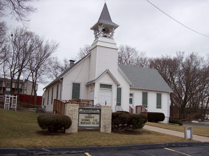
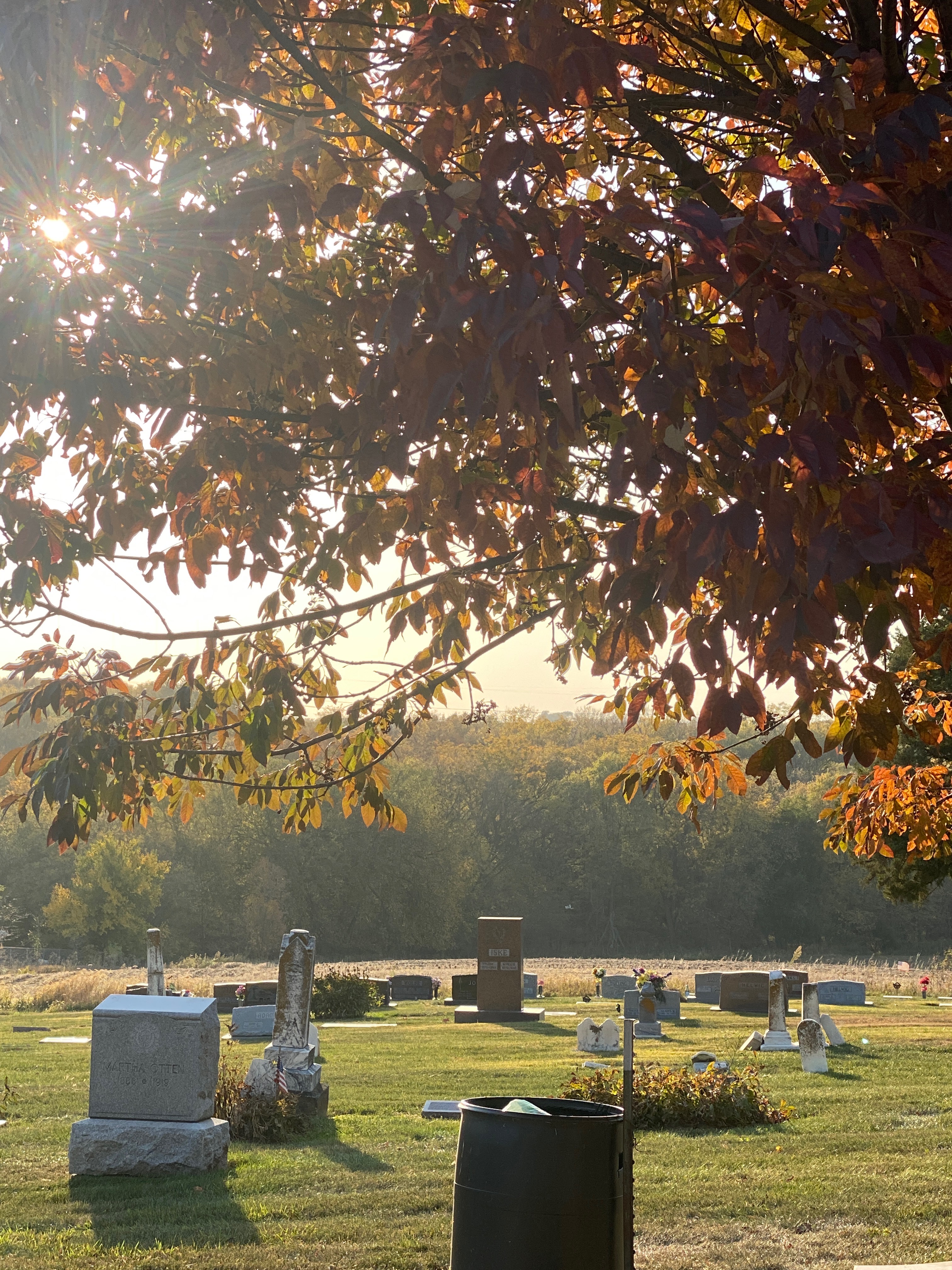
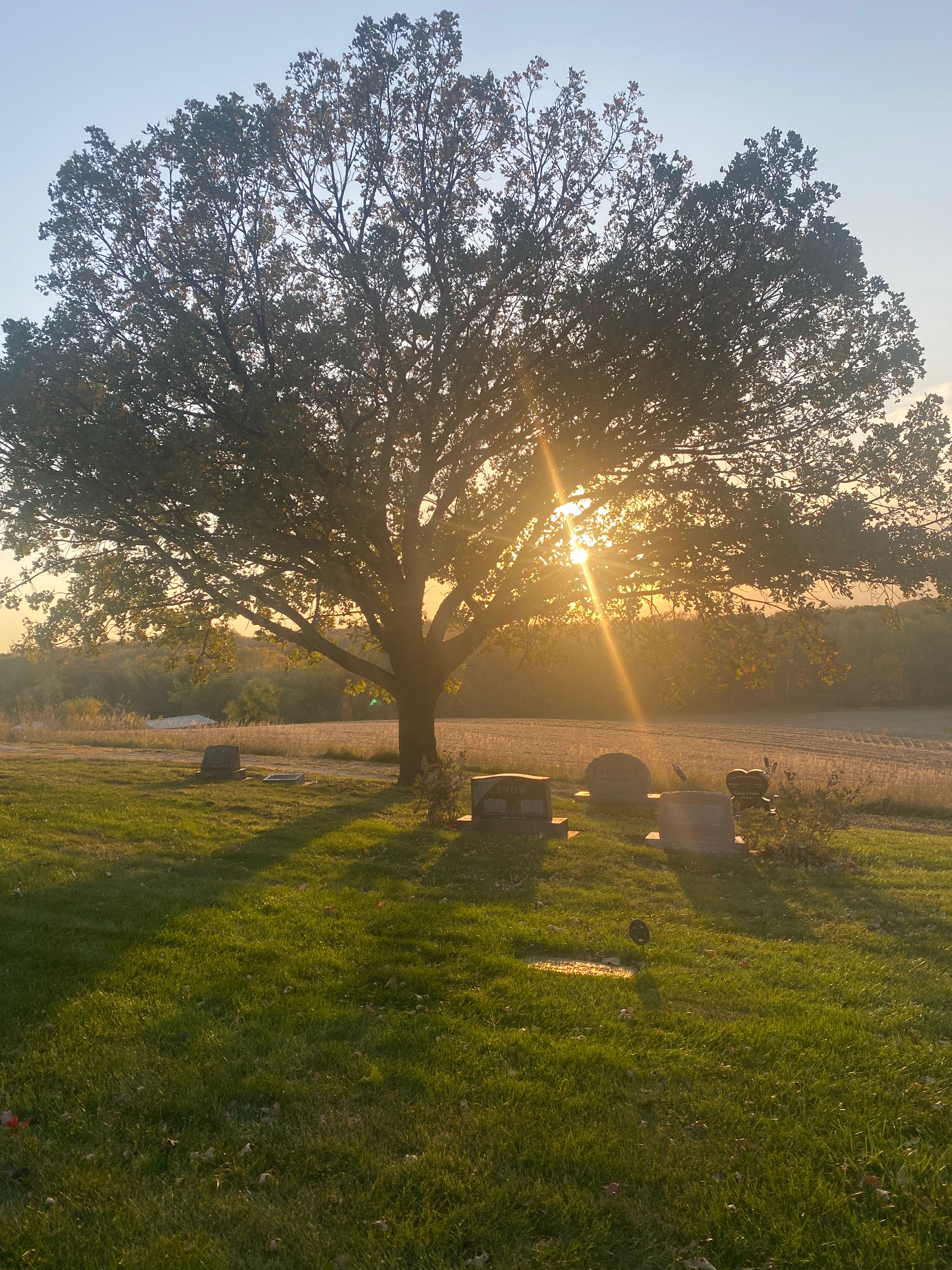
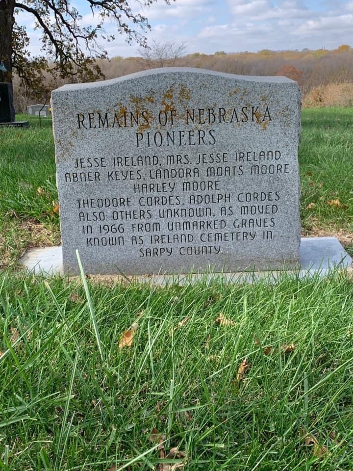
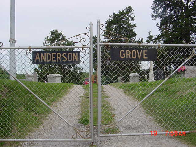
| Description | : | Anderson Grove Cemetery is located between Papillion and Bellevue on the west side of Capehart Housing, Offutt AFB, NE. It is on the west side of 36th Street one half mile south of Highway 370. Jefferson Bailey was married to Mary Jane Anderson, daughter of Samuel and Eliza Anderson. When Jefferson and Mary's young daughter died in 1862, she was buried on the Bailey family farm. Part of Samuel Anderson's land, located south of Bailey's, was wooded and was known as Anderson Grove. When Jefferson Bailey established the cemetery in 1875, he named it Anderson Grove in honor of his... Read More |
frequently asked questions (FAQ):
-
Where is Anderson Grove Cemetery?
Anderson Grove Cemetery is located at Bellevue, Sarpy County ,Nebraska ,USA.
-
Anderson Grove Cemetery cemetery's updated grave count on graveviews.com?
10 memorials
-
Where are the coordinates of the Anderson Grove Cemetery?
Latitude: 41.1285286
Longitude: -95.9670334
Nearby Cemetories:
1. Tunison Cemetery
Bellevue, Sarpy County, USA
Coordinate: 41.1357570, -95.9481150
2. Church of the Holy Spirit Columbarium
Bellevue, Sarpy County, USA
Coordinate: 41.1475000, -95.9244000
3. Offutt AFB Cemetery
Sarpy County, USA
Coordinate: 41.1325607, -95.9096451
4. Hrabik Cemetery
Bellevue, Sarpy County, USA
Coordinate: 41.1726540, -95.9768200
5. Fisher Farm Cemetery
Bellevue, Sarpy County, USA
Coordinate: 41.1727982, -95.9760971
6. Immanuel Lutheran Church Columbarium
Bellevue, Sarpy County, USA
Coordinate: 41.1602700, -95.9218900
7. Columban Martyrs Memorial Garden
Bellevue, Sarpy County, USA
Coordinate: 41.1403220, -95.9034390
8. Cedar Dale Cemetery
Papillion, Sarpy County, USA
Coordinate: 41.1418304, -96.0338745
9. Saint Johns Cemetery
Bellevue, Sarpy County, USA
Coordinate: 41.1864014, -95.9682999
10. Moscrip Cemetery
Bellevue, Sarpy County, USA
Coordinate: 41.1413500, -95.8917000
11. Bellevue Cemetery
Bellevue, Sarpy County, USA
Coordinate: 41.1492004, -95.8944016
12. LaPlatte Cemetery
La Platte, Sarpy County, USA
Coordinate: 41.0694008, -95.9336014
13. Laurel Hill Cemetery
Omaha, Douglas County, USA
Coordinate: 41.1918983, -95.9417038
14. Fairview Cemetery
Papillion, Sarpy County, USA
Coordinate: 41.1027985, -96.0513992
15. Fontenelle Forest Cemetery
Bellevue, Sarpy County, USA
Coordinate: 41.1636430, -95.8887200
16. Papillion Cemetery
Papillion, Sarpy County, USA
Coordinate: 41.1758003, -96.0410995
17. Saint Mary's Cemetery
Omaha, Douglas County, USA
Coordinate: 41.2042007, -95.9646988
18. Saint Mary Magdalene Cemetery
Omaha, Douglas County, USA
Coordinate: 41.2039420, -95.9850610
19. Graceland Park Cemetery
Omaha, Douglas County, USA
Coordinate: 41.2113991, -95.9785995
20. Saint Marys Cemetery
Mills County, USA
Coordinate: 41.1517580, -95.8514000
21. Beth El Cemetery
Ralston, Douglas County, USA
Coordinate: 41.2117004, -96.0428009
22. Portal Cemetery
Sarpy County, USA
Coordinate: 41.1838989, -96.0802994
23. Council Point Cemetery
Council Bluffs, Pottawattamie County, USA
Coordinate: 41.2110830, -95.8788610
24. Westlawn-Hillcrest Memorial Park
Omaha, Douglas County, USA
Coordinate: 41.2346992, -95.9966965


