
| Memorials | : | 0 |
| Location | : | Andijk, Medemblik Municipality, Netherlands |
| Coordinate | : | 52.7451600, 5.2369700 |
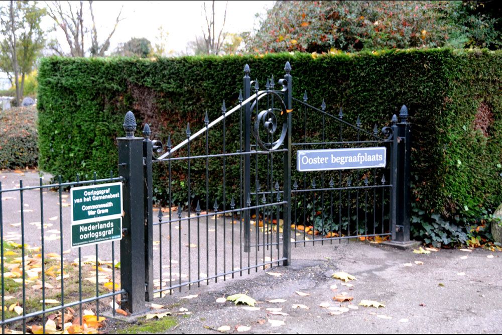
| Description | : | Andijk is a village and commune 65 kilometres north-north-east of Amsterdam, and 55 kilometres east-north-east of Alkmaar. The cemetery is located in De Weet, a road leading off Knokkel, on th eastern outskirts of the village. |
frequently asked questions (FAQ):
-
Where is Andijk Eastern General Cemetery?
Andijk Eastern General Cemetery is located at Andijk, Medemblik Municipality ,Noord-Holland ,Netherlands.
-
Andijk Eastern General Cemetery cemetery's updated grave count on graveviews.com?
0 memorials
-
Where are the coordinates of the Andijk Eastern General Cemetery?
Latitude: 52.7451600
Longitude: 5.2369700
Nearby Cemetories:
1. Andijk Western General Cemetery
Andijk, Medemblik Municipality, Netherlands
Coordinate: 52.7413700, 5.1819400
2. Bovenkarspel General Cemetery
Bovenkarspel, Stede Broec Municipality, Netherlands
Coordinate: 52.6994300, 5.2488900
3. Enkhuizen General Cemetery
Enkhuizen, Enkhuizen Municipality, Netherlands
Coordinate: 52.7089800, 5.2887500
4. Joodse Begraafplaats
Enkhuizen Municipality, Netherlands
Coordinate: 52.7000800, 5.2778000
5. Medemblik General Cemetery
Medemblik, Medemblik Municipality, Netherlands
Coordinate: 52.7664000, 5.1051200
6. Rooms-Katholiek Kerkhof Welgelegen
Medemblik, Medemblik Municipality, Netherlands
Coordinate: 52.7717300, 5.0996890
7. Algemene Begraafplaats Opperdoes
Opperdoes, Medemblik Municipality, Netherlands
Coordinate: 52.7638451, 5.0742310
8. Twisk Churchyard
Twisk, Medemblik Municipality, Netherlands
Coordinate: 52.7442300, 5.0603400
9. Schellinkhout Protestant Churchyard
Schellinkhout, Drechterland Municipality, Netherlands
Coordinate: 52.6345800, 5.1218900
10. Drieboomlaan
Hoorn, Hoorn Municipality, Netherlands
Coordinate: 52.6524706, 5.0707404
11. Rooms Katholieke Begraafplaats
Hoorn, Hoorn Municipality, Netherlands
Coordinate: 52.6494000, 5.0737800
12. Wognum Protestant Churchyard
Wognum, Medemblik Municipality, Netherlands
Coordinate: 52.6802100, 5.0260100
13. Hoorn General Cemetery
Hoorn, Hoorn Municipality, Netherlands
Coordinate: 52.6461800, 5.0486800
14. Scharl General Cemetery
Skarl, Sudwest Fryslan Municipality, Netherlands
Coordinate: 52.8672300, 5.3909200
15. Staveren General Cemetery
Stavoren, Sudwest Fryslan Municipality, Netherlands
Coordinate: 52.8820900, 5.3600500
16. Nieuwe Algemene Begraafplaats
Hoorn Municipality, Netherlands
Coordinate: 52.6459000, 5.0378800
17. Middenmeer General Cemetery
Middenmeer, Hollands Kroon Municipality, Netherlands
Coordinate: 52.8112900, 4.9980200
18. Gemeentelijke begraafplaats Middenmeer
Middenmeer, Hollands Kroon Municipality, Netherlands
Coordinate: 52.8112000, 4.9979100
19. Rooms Katholieke Begraafplaats Middenmeer
Middenmeer, Hollands Kroon Municipality, Netherlands
Coordinate: 52.8122672, 4.9981428
20. Bakhuizen Roman Catholic Cemetery
Bakhuizen, De Fryske Marren Municipality, Netherlands
Coordinate: 52.8692200, 5.4557500
21. Molkwerum Protestant Churchyard
Molkwerum, Sudwest Fryslan Municipality, Netherlands
Coordinate: 52.9001600, 5.3992000
22. Spanbroek Churchyard
Spanbroek, Opmeer Municipality, Netherlands
Coordinate: 52.6980200, 4.9442730
23. Winkel Protestant Churchyard
Winkel, Hollands Kroon Municipality, Netherlands
Coordinate: 52.7588800, 4.9132200
24. Kerkhof Oudemirdum
Oudemirdum, De Fryske Marren Municipality, Netherlands
Coordinate: 52.8498364, 5.5332713