
| Memorials | : | 0 |
| Location | : | Hoorn, Hoorn Municipality, Netherlands |
| Coordinate | : | 52.6494000, 5.0737800 |
frequently asked questions (FAQ):
-
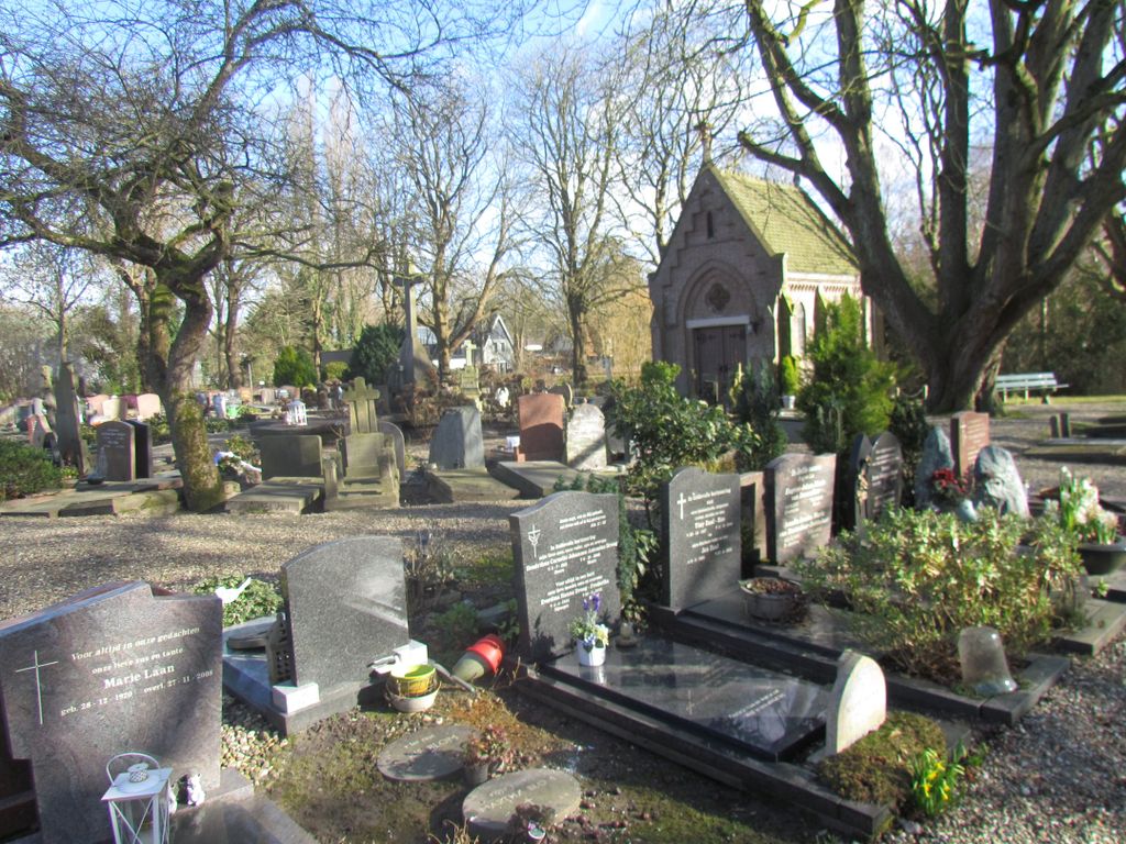
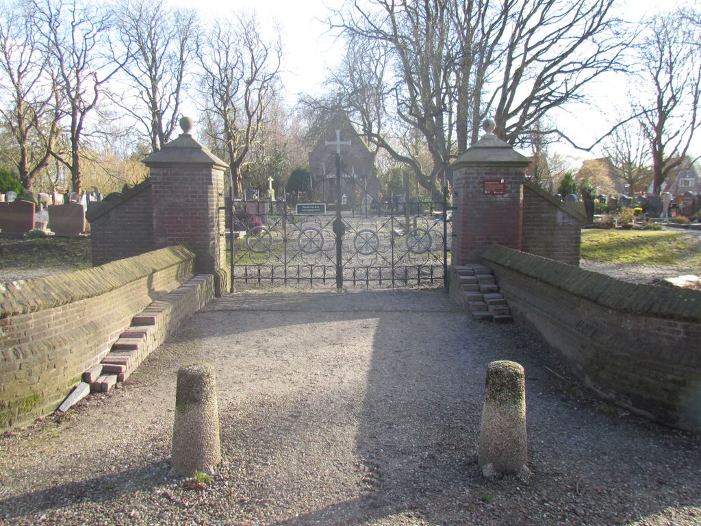
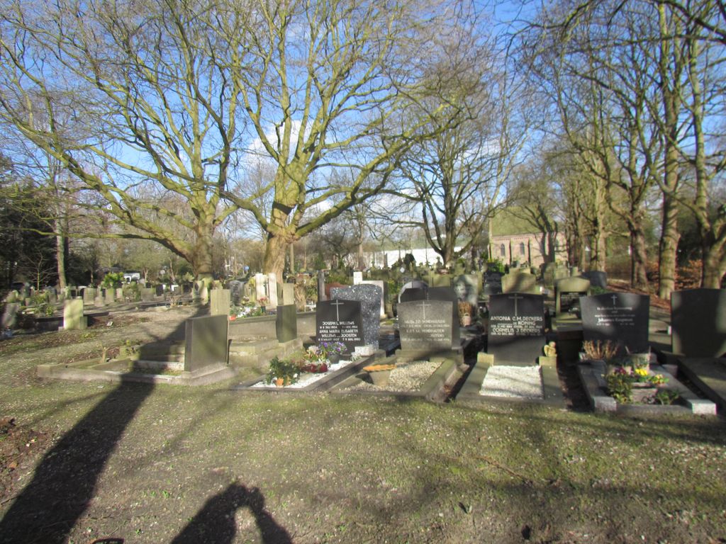
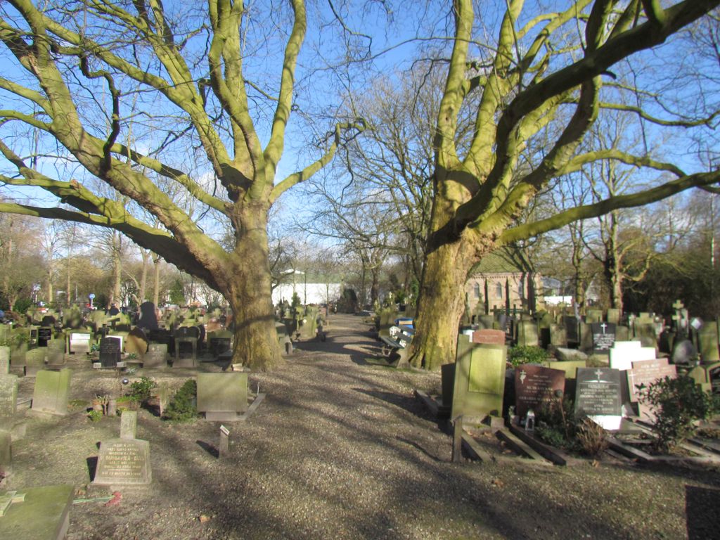
Where is Rooms Katholieke Begraafplaats?
Rooms Katholieke Begraafplaats is located at Hoorn, Hoorn Municipality ,Noord-Holland ,Netherlands.
-
Rooms Katholieke Begraafplaats cemetery's updated grave count on graveviews.com?
0 memorials
-
Where are the coordinates of the Rooms Katholieke Begraafplaats?
Latitude: 52.6494000
Longitude: 5.0737800

Nearby Cemetories:
1. Drieboomlaan
Hoorn, Hoorn Municipality, Netherlands
Coordinate: 52.6524706, 5.0707404
2. Hoorn General Cemetery
Hoorn, Hoorn Municipality, Netherlands
Coordinate: 52.6461800, 5.0486800
3. Nieuwe Algemene Begraafplaats
Hoorn Municipality, Netherlands
Coordinate: 52.6459000, 5.0378800
4. Schellinkhout Protestant Churchyard
Schellinkhout, Drechterland Municipality, Netherlands
Coordinate: 52.6345800, 5.1218900
5. Wognum Protestant Churchyard
Wognum, Medemblik Municipality, Netherlands
Coordinate: 52.6802100, 5.0260100
6. Rooms Katholieke Begraafplaats
De Goorn, Koggenland Municipality, Netherlands
Coordinate: 52.6267350, 4.9455000
7. Spanbroek Churchyard
Spanbroek, Opmeer Municipality, Netherlands
Coordinate: 52.6980200, 4.9442730
8. Twisk Churchyard
Twisk, Medemblik Municipality, Netherlands
Coordinate: 52.7442300, 5.0603400
9. Andijk Western General Cemetery
Andijk, Medemblik Municipality, Netherlands
Coordinate: 52.7413700, 5.1819400
10. Rooms Katholieke Begraafplaats
Ursem, Koggenland Municipality, Netherlands
Coordinate: 52.6267350, 4.8897360
11. Algemene Begraafplaats Opperdoes
Opperdoes, Medemblik Municipality, Netherlands
Coordinate: 52.7638451, 5.0742310
12. Bovenkarspel General Cemetery
Bovenkarspel, Stede Broec Municipality, Netherlands
Coordinate: 52.6994300, 5.2488900
13. Medemblik General Cemetery
Medemblik, Medemblik Municipality, Netherlands
Coordinate: 52.7664000, 5.1051200
14. Veenhuizen Churchyard
Veenhuizen, Heerhugowaard Municipality, Netherlands
Coordinate: 52.7027900, 4.8905700
15. Rooms-Katholiek Kerkhof Welgelegen
Medemblik, Medemblik Municipality, Netherlands
Coordinate: 52.7717300, 5.0996890
16. Joodse Begraafplaats
Enkhuizen Municipality, Netherlands
Coordinate: 52.7000800, 5.2778000
17. Rooms-Katholieke Begraafplaats
Westbeemster, Beemster Municipality, Netherlands
Coordinate: 52.5666656, 4.9000001
18. Algemene Begraafplaats Edam
Edam, Edam-Volendam Municipality, Netherlands
Coordinate: 52.5157000, 5.0469140
19. Grote Kerk Edam
Edam, Edam-Volendam Municipality, Netherlands
Coordinate: 52.5151700, 5.0480100
20. Andijk Eastern General Cemetery
Andijk, Medemblik Municipality, Netherlands
Coordinate: 52.7451600, 5.2369700
21. Middenbeemster Algemene Begraafplaats
Middenbeemster, Beemster Municipality, Netherlands
Coordinate: 52.5481000, 4.9075300
22. Enkhuizen General Cemetery
Enkhuizen, Enkhuizen Municipality, Netherlands
Coordinate: 52.7089800, 5.2887500
23. Winkel Protestant Churchyard
Winkel, Hollands Kroon Municipality, Netherlands
Coordinate: 52.7588800, 4.9132200
24. Purmerend Kerkhof Overweersepolderdijk
Purmerend, Purmerend Municipality, Netherlands
Coordinate: 52.5129800, 4.9491800